Bedford Level (North Level)
Downs, Moorland in Cambridgeshire
England
Bedford Level (North Level)
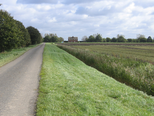
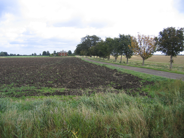
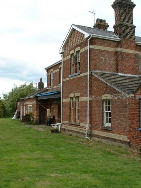
Bedford Level, also known as North Level, is a large expanse of land situated in Cambridgeshire, England. It is part of the drainage system known as the Great Level of the Fens, covering an area of approximately 200 square miles. The Level is bordered by the River Nene to the west and the River Great Ouse to the east.
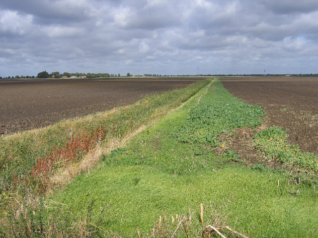
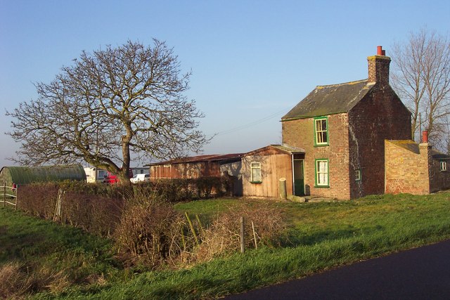
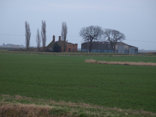
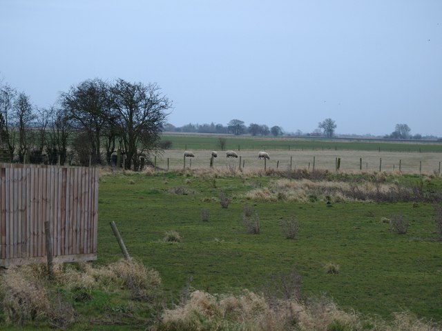
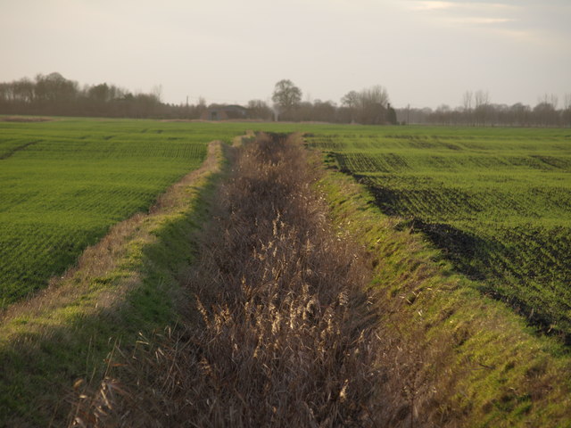
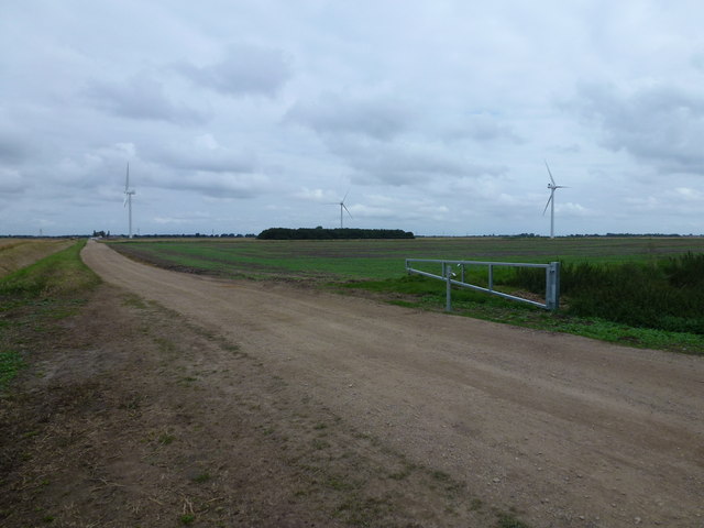
The landscape of Bedford Level is predominantly flat, with vast stretches of open marshland and a few scattered islands. The area is characterized by its fertile soil, which makes it ideal for agricultural activities. Farming has been the primary occupation of the local population for centuries, with crops like cereals, potatoes, and vegetables being cultivated extensively.
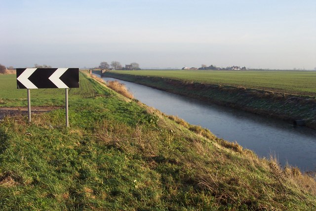
The Level has a unique drainage system that dates back to the 17th century. A network of channels, dykes, and sluices was constructed to control water levels and prevent flooding in the surrounding areas. The drainage system has been periodically improved and modernized to cope with the challenges posed by the low-lying nature of the land.
Bedford Level is also known for its diverse wildlife. The marshes provide a habitat for various bird species, including swans, ducks, and herons, making it a popular destination for birdwatchers and nature enthusiasts. The wetlands are also home to numerous fish and invertebrate species.
Overall, Bedford Level is a significant geographical and agricultural region in Cambridgeshire, playing a crucial role in flood prevention and supporting local farming activities. Its unique landscape and abundant wildlife make it a fascinating area for exploration and appreciation of nature.
If you have any feedback on the listing, please let us know in the comments section below.
Bedford Level (North Level) Images
Images are sourced within 2km of 52.663315/-0.0378626 or Grid Reference TF3209. Thanks to Geograph Open Source API. All images are credited.


Bedford Level (North Level) is located at Grid Ref: TF3209 (Lat: 52.663315, Lng: -0.0378626)
Division: Isle of Ely
Unitary Authority: Peterborough
Police Authority: Cambridgeshire
What 3 Words
///remarried.bitter.handbag. Near Gedney Hill, Lincolnshire
Nearby Locations
Related Wikis

French Drove and Gedney Hill railway station
French Drove and Gedney Hill was a station on the Great Northern and Great Eastern Joint Railway near Gedney Hill in south Lincolnshire on the line between...

Gedney Hill
Gedney Hill is a village and civil parish in South Holland district of Lincolnshire, England. The population of the civil parish at the 2011 census was...

The Museum of Technology
The Museum of Technology the History of Gadgets and Gizmos (formerly The Museum of Technology, The Great War and WWII) is a technology museum in Throckenholt...
Throckenholt
Throckenholt is a village in the civil parish of Sutton St Edmund (where the population is listed) in the South Holland district of Lincolnshire, England...
Nearby Amenities
Located within 500m of 52.663315,-0.0378626Have you been to Bedford Level (North Level)?
Leave your review of Bedford Level (North Level) below (or comments, questions and feedback).