Moulton East Fen
Downs, Moorland in Lincolnshire South Holland
England
Moulton East Fen

Moulton East Fen is a picturesque area located in Lincolnshire, England. It is characterized by its beautiful downs and moorland terrain, making it a popular destination for nature lovers and outdoor enthusiasts. The fen is situated in close proximity to the village of Moulton, adding to its charm.
The downs of Moulton East Fen are rolling hills covered in lush green grass and dotted with wildflowers during the summer months. These hills stretch out across the landscape, offering stunning panoramic views of the surrounding area. Visitors can enjoy leisurely walks or more challenging hikes, taking in the breathtaking scenery and enjoying the fresh air.
The moorland of Moulton East Fen is equally captivating, with its rugged and untamed beauty. It is characterized by its vast expanses of heather, creating a carpet of purple hues that stretches as far as the eye can see. This unique ecosystem is home to a variety of plant and animal species, making it an ideal spot for wildlife enthusiasts and bird watchers.
Moulton East Fen is also known for its tranquil atmosphere, providing a serene escape from the hustle and bustle of everyday life. Visitors can immerse themselves in the peace and quiet of the fen, listening to the sounds of nature and taking solace in the beauty of their surroundings.
Overall, Moulton East Fen is a truly remarkable destination, offering a diverse landscape of downs and moorland. Whether you are seeking adventure or simply a peaceful retreat, this area is sure to captivate and inspire all who visit.
If you have any feedback on the listing, please let us know in the comments section below.
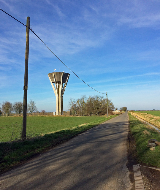
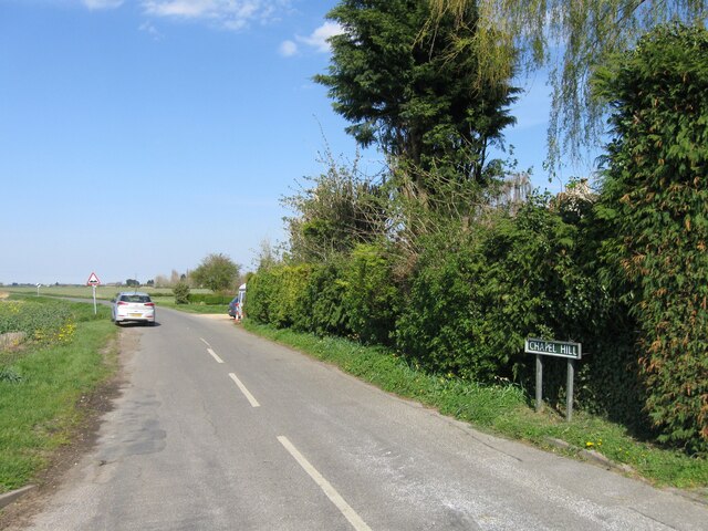
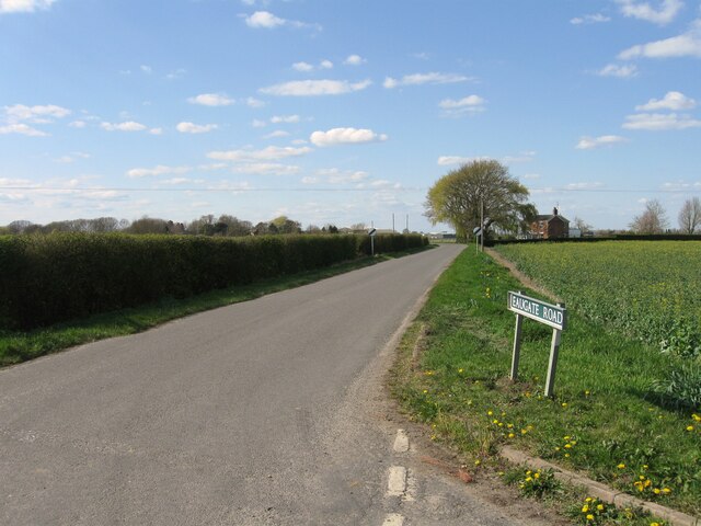
Moulton East Fen Images
Images are sourced within 2km of 52.71521/-0.072325901 or Grid Reference TF3014. Thanks to Geograph Open Source API. All images are credited.


Moulton East Fen is located at Grid Ref: TF3014 (Lat: 52.71521, Lng: -0.072325901)
Administrative County: Lincolnshire
District: South Holland
Police Authority: Lincolnshire
What 3 Words
///callers.mailers.dynamics. Near Moulton Chapel, Lincolnshire
Nearby Locations
Related Wikis

Whaplode Drove
Whaplode Drove is a village in the civil parish of Whaplode , in the South Holland district of Lincolnshire, England. It is approximately 10 miles (16...
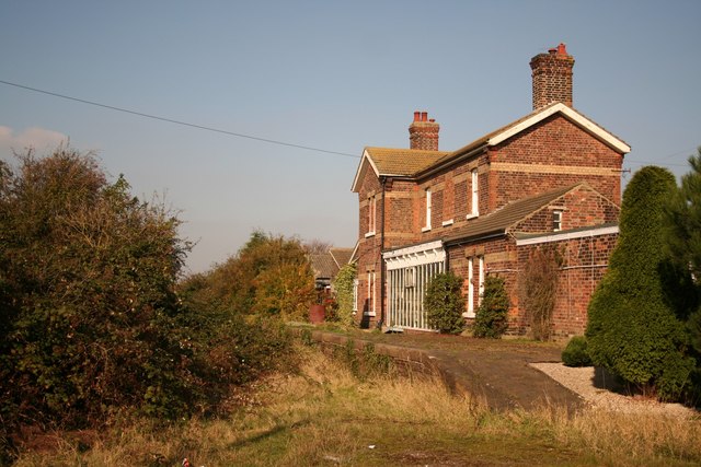
Postland railway station
Postland railway station was a station on the Great Northern and Great Eastern Joint Railway in Crowland, Lincolnshire, which is now closed. It took its...

Shepeau Stow, Lincolnshire
Shepeau Stow is a hamlet in the South Holland district of Lincolnshire, England. It is at the north-east edge of Whaplode civil parish, where it adjoins...

Holbeach Drove
Holbeach Drove is a village in the South Holland district of Lincolnshire, England. It is situated approximately 5 miles (8 km) east from Crowland, and...
Nearby Amenities
Located within 500m of 52.71521,-0.072325901Have you been to Moulton East Fen?
Leave your review of Moulton East Fen below (or comments, questions and feedback).