Heaton

Settlement in Staffordshire Staffordshire Moorlands

England

Heaton

The Royal Oak, Rushton Spencer
The Royal Oak, Rushton Spencer Credit: Eirian Evans

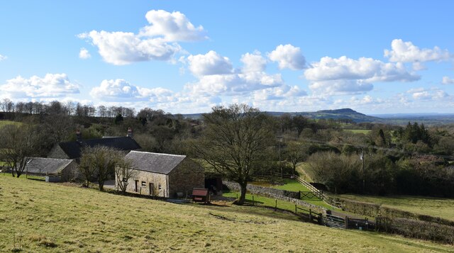
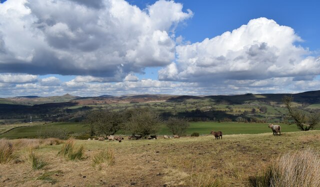
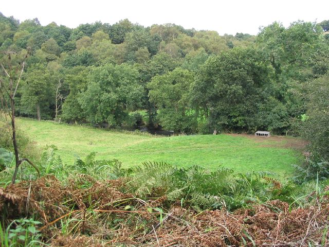
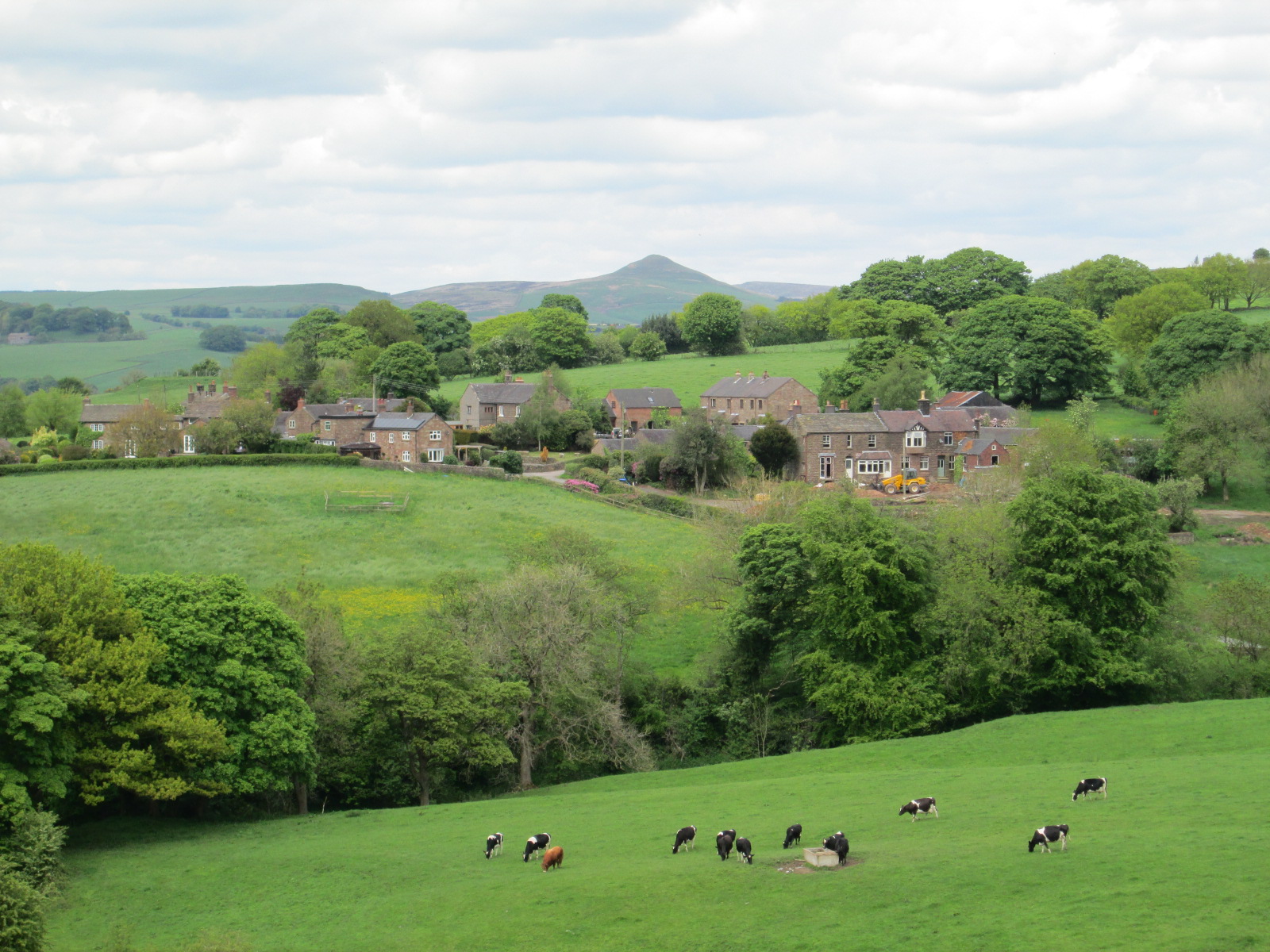
Heaton is a small village located in the county of Staffordshire, England. Situated approximately 4 miles southeast of the town of Newcastle-under-Lyme, Heaton is nestled in a rural setting, surrounded by picturesque countryside and farmland.

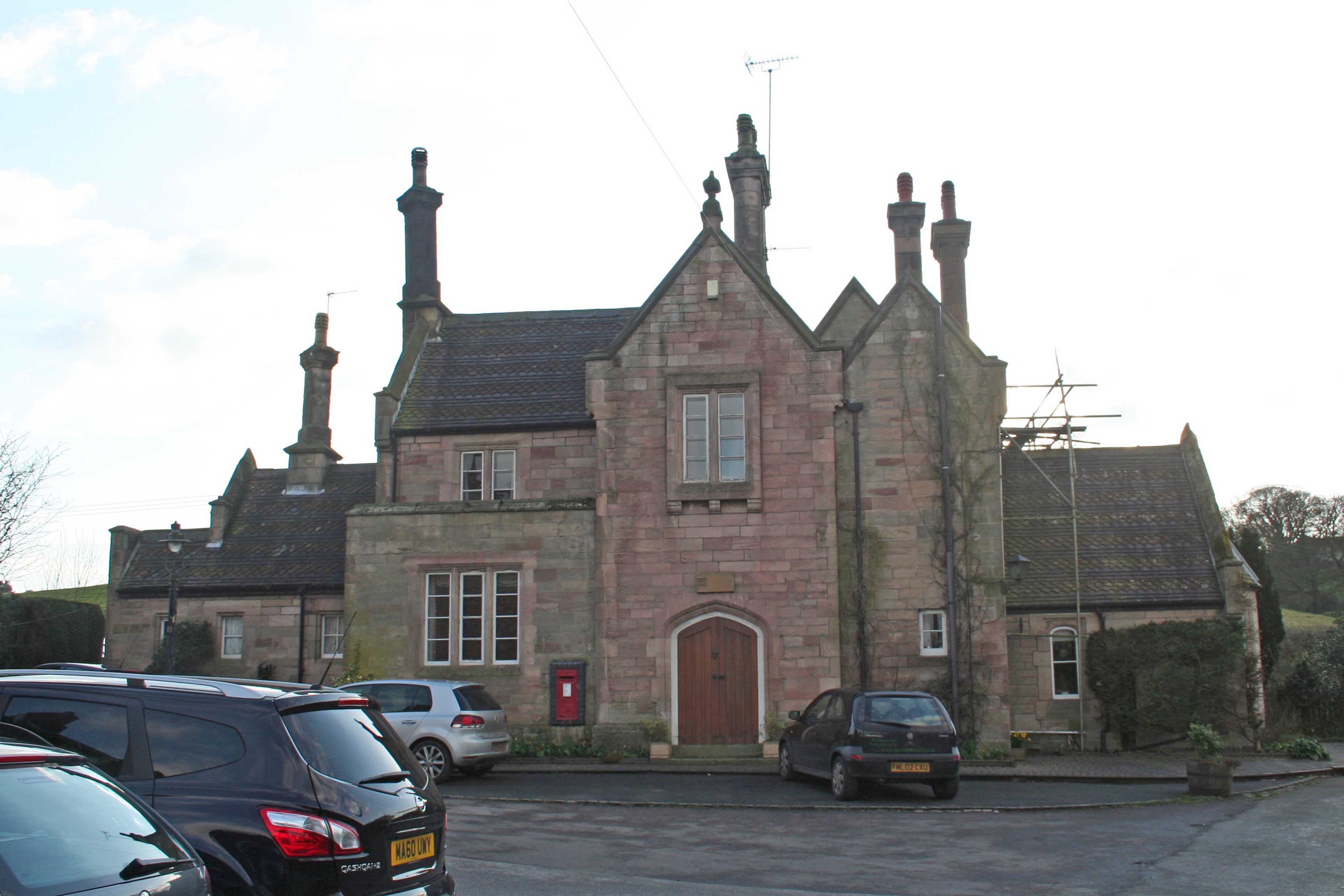
With a population of around 1,500 residents, Heaton maintains a close-knit community atmosphere. The village features a mix of traditional stone cottages and modern houses, reflecting its historical roots alongside contemporary developments.

Heaton benefits from a range of amenities and services. The local primary school serves the community, providing education for children aged 4 to 11. Additionally, there is a village hall that acts as a hub for various social activities and events.

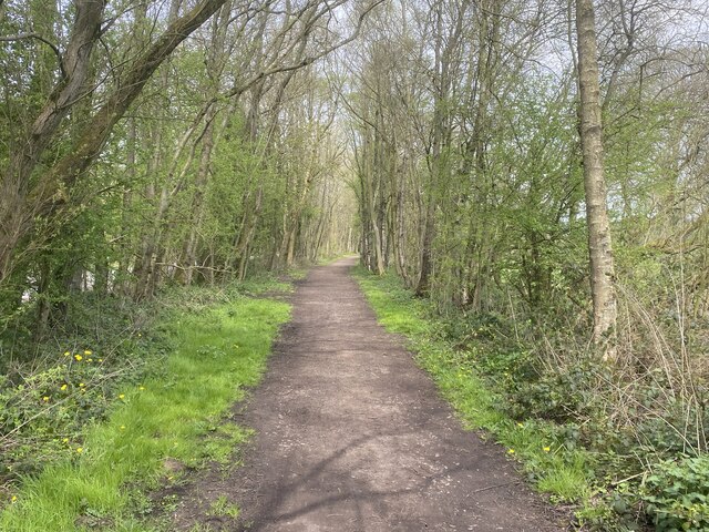
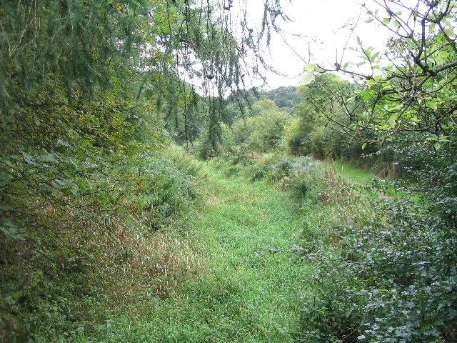
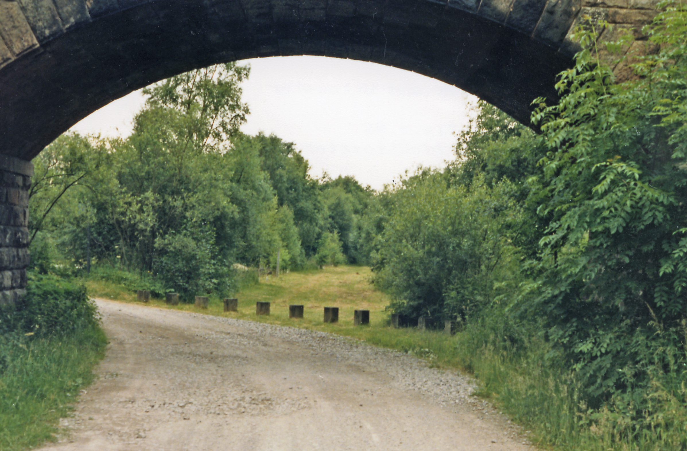
The village boasts several green spaces, including a small park with a children's playground, providing recreational opportunities for residents. The surrounding countryside offers opportunities for outdoor activities such as hiking and cycling, with numerous footpaths and trails to explore.

For everyday needs, Heaton has a convenience store that caters to the local community's requirements. However, for more extensive shopping options, residents can easily access the nearby towns of Newcastle-under-Lyme and Stoke-on-Trent, which offer a wider range of retail outlets, supermarkets, and entertainment facilities.

Heaton's central location within Staffordshire provides easy access to major transport routes. The A500 road passes nearby, connecting the village to the wider road network, including the M6 motorway. The village is also served by regular bus services, enabling residents to travel to neighboring towns and cities.

Overall, Heaton offers a peaceful and idyllic setting, ideal for those seeking a tranquil village lifestyle while still maintaining access to essential amenities and nearby urban centers.

If you have any feedback on the listing, please let us know in the comments section below.
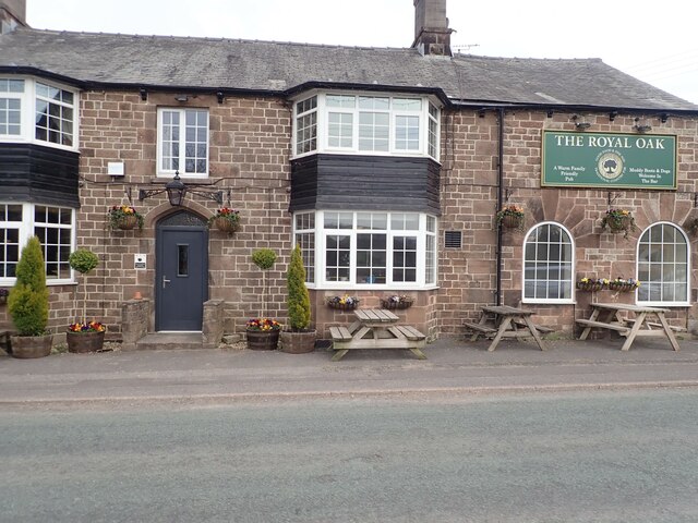
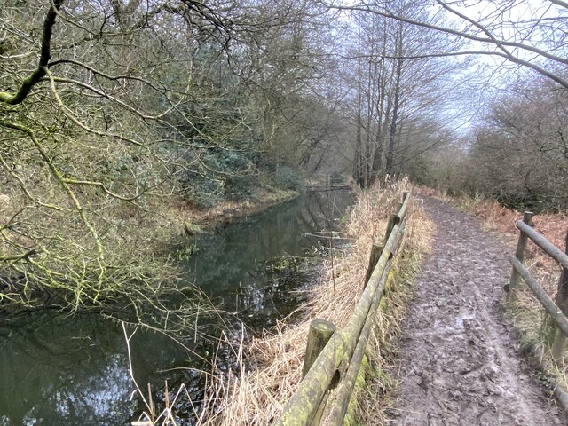
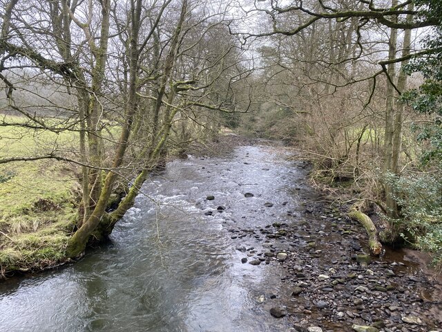
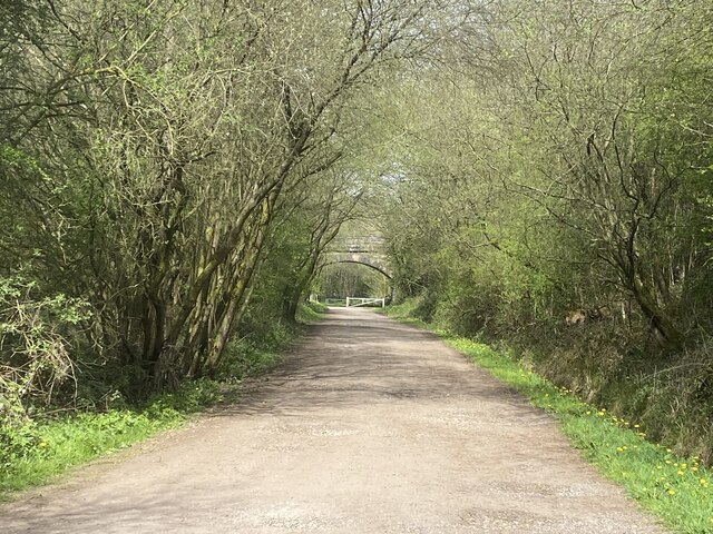
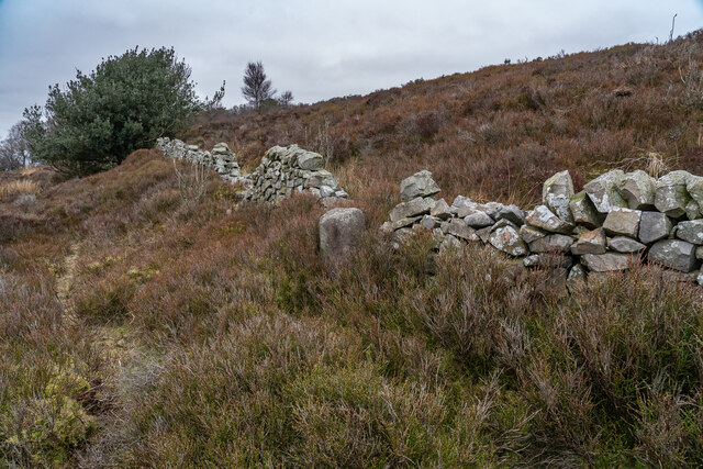
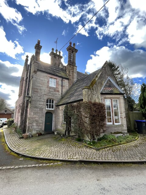
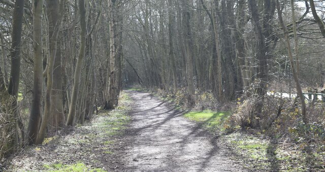
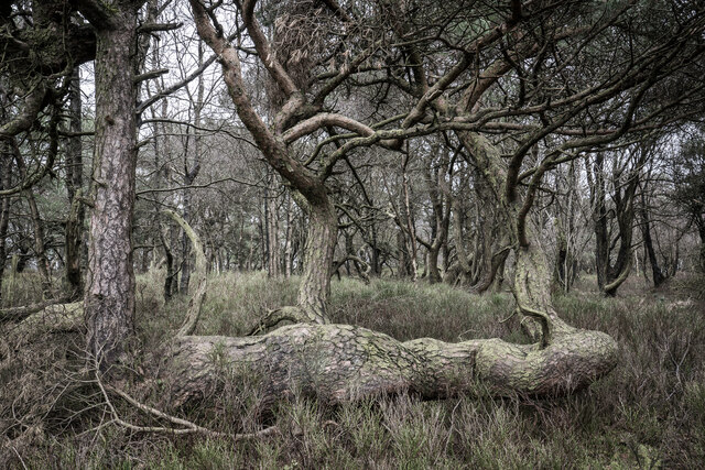
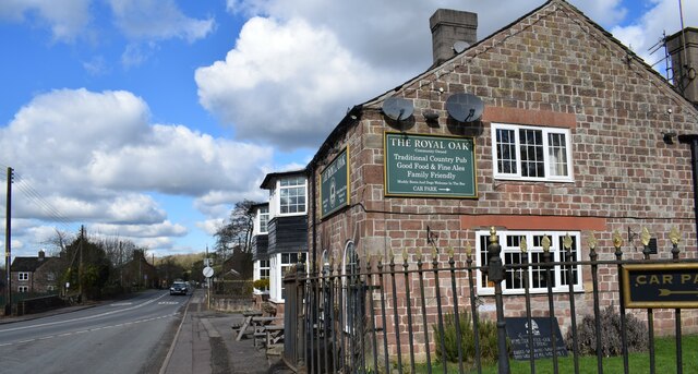
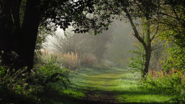
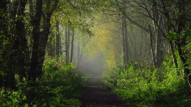
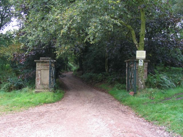
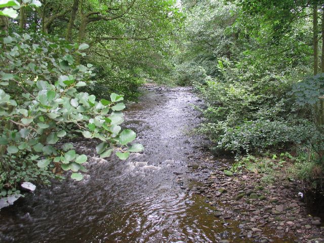
Heaton Images

Images are sourced within 2km of 53.160484/-2.0744849 or Grid Reference SJ9562. Thanks to Geograph Open Source API. All images are credited.

The Royal Oak, Rushton Spencer
Muddy Gritstone Trail Following the route of the conduit taking water from the River Dane to Rudyard reservoir.
Muddy Gritstone Trail
Following the route of the conduit taking water from the River Dane to Rudyard reservoir.
River Dane Upstream from Barleigh Ford Bridge.
River Dane
Upstream from Barleigh Ford Bridge.
Former railway track, now footpath North of Rudyard Lake.
Former railway track, now footpath
North of Rudyard Lake.
Former railway, now footpath and cycleway
Boundary Stone (BS) Heaton / Leekfirth The wall runs past on the Leekfirth side of the BS.  Not sure when the Boundary stone's were placed but The wall was probably from the "Leek Inclosure act 1805"


<span class="nowrap"><a title="https://www.staffs-wildlife.org.uk/blog/alan-weeks/history-gun-moor-meadow-and-gun-hill" rel="nofollow ugc noopener" href="https://www.staffs-wildlife.org.uk/blog/alan-weeks/history-gun-moor-meadow-and-gun-hill">Link</a><img style="margin-left:2px;" alt="External link" title="External link - shift click to open in new window" src="https://s1.geograph.org.uk/img/external.png" width="10" height="10"/></span>
Boundary Stone (BS) Heaton / Leekfirth
The wall runs past on the Leekfirth side of the BS. Not sure when the Boundary stone's were placed but The wall was probably from the "Leek Inclosure act 1805" LinkExternal link
The former Rushton Spencer railway station Now a private residence.
The former Rushton Spencer railway station
Now a private residence.
Former railway line north of Rudyard Reservoir Staffordshire Way.
Former railway line north of Rudyard Reservoir
Staffordshire Way.
Gunn Woods Some strange and gnarly Trees
Gunn Woods
Some strange and gnarly Trees
The Royal Oak in Rushden Spencer A community-owned pub.
The Royal Oak in Rushden Spencer
A community-owned pub.
Cliff Hollins farm. Walking up to Gun.
Cliff Hollins farm.
Walking up to Gun.
Rough Pastureland alongside the path to Gun. Lovely walk up to Gun.
Rough Pastureland alongside the path to Gun.
Lovely walk up to Gun.
Misty sunlight on railway path north of Ryecroft Gate
Misty sunlight on railway path south of Ryecroft Gate
Barnswood Scout camp This is the entrance way to Barnswood Scout Camp, located at SJ949607. The site is heavily wooded as the name would suggest.
Barnswood Scout camp
This is the entrance way to Barnswood Scout Camp, located at SJ949607. The site is heavily wooded as the name would suggest.
River Dane This picture taken from the bridge where the Gritstone Trail crosses the river Dane at sj9436163682 is looking east, upstream.
River Dane
This picture taken from the bridge where the Gritstone Trail crosses the river Dane at sj9436163682 is looking east, upstream.
Conduit This photo taken from SJ9455963634 looks west. On the right can be seen the footpath, which at this point is both the Dane Valley Way and the Gritstone Trail and under the swathe of green running through the middle of the picture there is a shallow canal labelled as CONDUIT on the OS map.
Conduit
This photo taken from SJ9455963634 looks west. On the right can be seen the footpath, which at this point is both the Dane Valley Way and the Gritstone Trail and under the swathe of green running through the middle of the picture there is a shallow canal labelled as CONDUIT on the OS map.
Pasture and River Dane This image, taken from SJ-94082-63721, looks from the Dane Valley Way NE across pasture towards the river Dane.
Pasture and River Dane
This image, taken from SJ-94082-63721, looks from the Dane Valley Way NE across pasture towards the river Dane.
Show me another place!

Heaton is located at Grid Ref: SJ9562 (Lat: 53.160484, Lng: -2.0744849)

Administrative County: Staffordshire

District: Staffordshire Moorlands

Police Authority: Staffordshire

What 3 Words

///rivals.darkest.probe. Near Leek, Staffordshire

Nearby Locations

Heaton

Related Wikis

Heaton, Staffordshire

Heaton is a small village and civil parish in Staffordshire, England. It is about 4 miles (6.4 km) north of Leek and about 7 miles (11 km) south of Macclesfield...

Rushton, Staffordshire

Rushton is a civil parish in Staffordshire, England. The village within the civil parish, usually known as Rushton Spencer, is about 4 miles (6.4 km) north...

Rushton railway station

Rushton Spencer railway station was a railway station that served the village of Rushton Spencer, Staffordshire. The station was opened by the North Staffordshire...

Cliffe Park railway station

Cliffe Park railway station was opened by the North Staffordshire Railway (NSR) in 1905 on the Churnet Valley line to attract visitors to Rudyard Lake...

Nearby Amenities

Located within 500m of 53.160484,-2.0744849
Post Box
Post Box Type: lamp
Postal Code: SK11
Ref: SK11 44
Royal Cypher: EIIR
Lat/Long: 53.1605705/-2.0746088
Telephone
Booth: KX100
Covered: booth
Man Made: telephone_box
Lat/Long: 53.1605813/-2.074662
Ele: 240.0000000
Lat/Long: 53.1600351/-2.0726579
Ele: 239.0000000
Lat/Long: 53.1599831/-2.0727952
Barrier: stile
Ele: 251.0000000
Steps: 0
Stile: stepover
Lat/Long: 53.1607129/-2.0688205
Barrier: stile
Ele: 251.0000000
Stile: squeezer
Lat/Long: 53.1607161/-2.0688339
Ele: 250.0000000
Lat/Long: 53.1609595/-2.069817
Barrier: stile
Lat/Long: 53.1614162/-2.0817686
Barrier: stile
Lat/Long: 53.1611074/-2.0780508
Heaton
Place: hamlet
Source: NLS - OS 1:25k 1st Series 1937-61
Lat/Long: 53.1607251/-2.0729394
The data included in this document is from www.openstreetmap.org. The data is made available under ODbL.

Have you been to Heaton?

Leave your review of Heaton below (or comments, questions and feedback).