Balgunearie
Settlement in Ross-shire
Scotland
Balgunearie

The requested URL returned error: 429 Too Many Requests
If you have any feedback on the listing, please let us know in the comments section below.
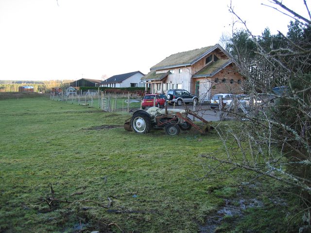
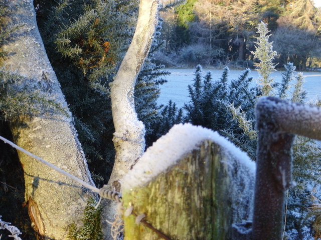
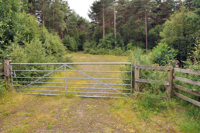
Balgunearie Images
Images are sourced within 2km of 57.509786/-4.3218144 or Grid Reference NH6149. Thanks to Geograph Open Source API. All images are credited.


Balgunearie is located at Grid Ref: NH6149 (Lat: 57.509786, Lng: -4.3218144)
Unitary Authority: Highland
Police Authority: Highlands and Islands
What 3 Words
///jokes.profiled.straying. Near Inverness, Highland
Nearby Locations
Related Wikis

Artafallie
Artafallie (Scottish Gaelic: Àirde Fàillidh) is a hamlet on the Black Isle, in the Highland council area of Scotland. It is about two km (1.2 mi) to the...
Arpafeelie
Arpafeelie (Scottish Gaelic: Arpa Phìlidh) is a hamlet on the Black Isle, in Ross and Cromarty, in the Highland council area of Scotland. It is situated...
Croftnacreich
Croftnacreich () is a hamlet on the Black Isle, in Ross and Cromarty in the Highland council area of Scotland. It is one mile (1.6 km) north-west of North...
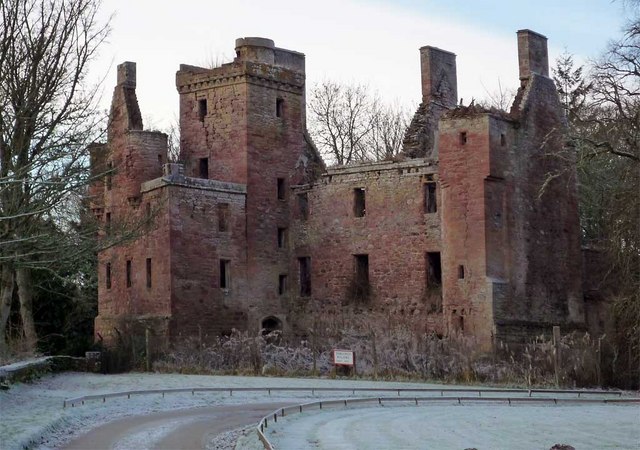
Redcastle
Redcastle (Scottish Gaelic: an Caisteal ruadh), historically known as Edirdovar and Ederdour, is a medieval castle in Killearnan on the Black Isle, northern...
Nearby Amenities
Located within 500m of 57.509786,-4.3218144Have you been to Balgunearie?
Leave your review of Balgunearie below (or comments, questions and feedback).