Weston Fen

Downs, Moorland in Lincolnshire South Holland

England

Weston Fen

Wheatfield near Moulton Chapel
Wheatfield near Moulton Chapel Credit: Jonathan Thacker

Weston Fen is a picturesque area located in Lincolnshire, England. Situated amidst the rolling countryside, it encompasses both downs and moorland landscapes, providing a diverse and captivating environment for visitors to explore and enjoy.

The downs in Weston Fen are characterized by their gently sloping hills and extensive grassy plains. These areas offer stunning panoramic views of the surrounding countryside, with vibrant wildflower meadows dotting the landscape during the spring and summer months. The downs are also home to a variety of wildlife, including rabbits, hares, and numerous bird species, making it a popular destination for birdwatchers and nature enthusiasts.

In contrast, the moorland in Weston Fen presents a wilder and more rugged terrain. Here, visitors can immerse themselves in the untamed beauty of heather-covered hills and vast expanses of open land. The moorland is known for its rich biodiversity, with an array of plant species and rare wildlife, such as curlews and red grouse, thriving in this unique habitat.

The area is crisscrossed with a network of footpaths and trails, allowing visitors to explore Weston Fen at their own pace. Whether hiking, cycling, or horseback riding, there are ample opportunities to discover the hidden gems and breathtaking vistas that this region has to offer.

Weston Fen is also home to several nature reserves and conservation areas, which play a crucial role in preserving and protecting the local flora and fauna. These reserves provide educational programs and guided tours, allowing visitors to learn more about the importance of conservation and sustainable practices.

In conclusion, Weston Fen in Lincolnshire offers a diverse and captivating landscape, with its downs and moorland providing a rich tapestry of natural beauty and wildlife. It is a haven for nature lovers and outdoor enthusiasts, offering a tranquil escape from the hustle and bustle of everyday life.

If you have any feedback on the listing, please let us know in the comments section below.
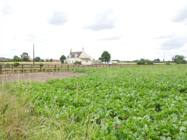
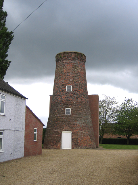
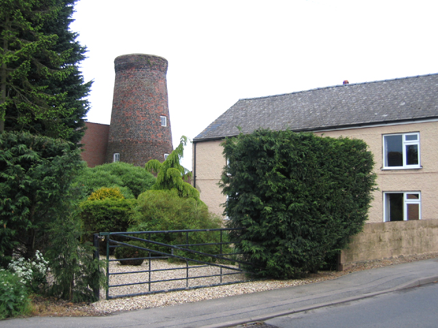
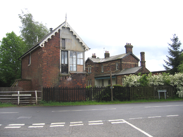
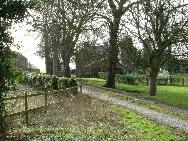
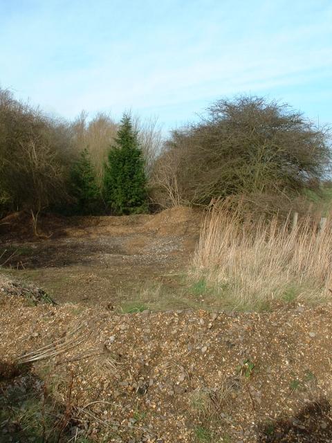
Weston Fen Images

Images are sourced within 2km of 52.729709/-0.11174814 or Grid Reference TF2716. Thanks to Geograph Open Source API. All images are credited.

Wheatfield near Moulton Chapel
Sugar beet and cottage, Broadgate
Houses at Peak Hill This is Blue Bell Farm, at Peak Hill on the edge of Weston Fen.  The water channel in the foreground is the River Welland, and beyond that water is standing in Cowbit Wash, flooded by winter rains.  The bank near the houses is the embankment for the artificial New River that marks the other edge of the washes.
Houses at Peak Hill
This is Blue Bell Farm, at Peak Hill on the edge of Weston Fen. The water channel in the foreground is the River Welland, and beyond that water is standing in Cowbit Wash, flooded by winter rains. The bank near the houses is the embankment for the artificial New River that marks the other edge of the washes.
Flooding around Bell Road Drove In principle the Cowbit Wash is designed to flood but this area hasn't since the 1950s after the Coronation Channel was dug as a relief channel around Spalding, allowing the area to be used for arable farming. During a very wet winter the River Welland overtopped and eroded its banks, leading to flooding in the area once again. The flooding is contained by the outer banks and there are no inhabited properties within the washland, but a lot of arable crops have been damaged or couldn't be planted at all. Water levels have recently dropped considerably.
Flooding around Bell Road Drove
In principle the Cowbit Wash is designed to flood but this area hasn't since the 1950s after the Coronation Channel was dug as a relief channel around Spalding, allowing the area to be used for arable farming. During a very wet winter the River Welland overtopped and eroded its banks, leading to flooding in the area once again. The flooding is contained by the outer banks and there are no inhabited properties within the washland, but a lot of arable crops have been damaged or couldn't be planted at all. Water levels have recently dropped considerably.
Receding floods on Cowbit Wash In principle the Washland is designed to flood but this area hasn't since the 1950s after the Coronation Channel was dug as a relief channel around Spalding, allowing the area to be used for arable farming. During a very wet winter the River Welland overtopped and eroded its banks, leading to flooding in the area once again. The flooding is contained by the outer banks and there are no inhabited properties within the washland, but a lot of arable crops have been damaged or couldn't be planted at all. Water levels have recently dropped considerably.
Receding floods on Cowbit Wash
In principle the Washland is designed to flood but this area hasn't since the 1950s after the Coronation Channel was dug as a relief channel around Spalding, allowing the area to be used for arable farming. During a very wet winter the River Welland overtopped and eroded its banks, leading to flooding in the area once again. The flooding is contained by the outer banks and there are no inhabited properties within the washland, but a lot of arable crops have been damaged or couldn't be planted at all. Water levels have recently dropped considerably.
Bus stop on Barrier Bank, Cowbit With this winter's floods receding on the washland.
Bus stop on Barrier Bank, Cowbit
With this winter's floods receding on the washland.
Cowbit Wash bank In principle the Washland is designed to flood but this area hasn't since the 1950s after the Coronation Channel was dug as a relief channel around Spalding, allowing the area to be used for arable farming. During a very wet winter the River Welland overtopped and eroded its banks, leading to flooding in the area once again. The flooding is contained by the outer banks and there are no inhabited properties within the washland, but a lot of arable crops have been damaged or couldn't be planted at all. Water levels have recently dropped considerably.
Cowbit Wash bank
In principle the Washland is designed to flood but this area hasn't since the 1950s after the Coronation Channel was dug as a relief channel around Spalding, allowing the area to be used for arable farming. During a very wet winter the River Welland overtopped and eroded its banks, leading to flooding in the area once again. The flooding is contained by the outer banks and there are no inhabited properties within the washland, but a lot of arable crops have been damaged or couldn't be planted at all. Water levels have recently dropped considerably.
New River, Cowbit Wash
Receding floods on Cowbit Wash In principle the Washland is designed to flood but this area hasn't since the 1950s after the Coronation Channel was dug as a relief channel around Spalding, allowing the area to be used for arable farming. During a very wet winter the River Welland overtopped and eroded its banks, leading to flooding in the area once again. The flooding is contained by the outer banks and there are no inhabited properties within the washland, but a lot of arable crops have been damaged or couldn't be planted at all. Water levels have recently dropped considerably, though Whooper Swans and other birds were taking advantage of the new wetland.
Receding floods on Cowbit Wash
In principle the Washland is designed to flood but this area hasn't since the 1950s after the Coronation Channel was dug as a relief channel around Spalding, allowing the area to be used for arable farming. During a very wet winter the River Welland overtopped and eroded its banks, leading to flooding in the area once again. The flooding is contained by the outer banks and there are no inhabited properties within the washland, but a lot of arable crops have been damaged or couldn't be planted at all. Water levels have recently dropped considerably, though Whooper Swans and other birds were taking advantage of the new wetland.
Cowbit tower windmill, Lincs Built 1789 and extended to a fourth floor shortly afterwards; worked by wind until the mid 1930s and closed down in 1969.  <span class="nowrap"><a title="http://www.lincolnshire.gov.uk/windmills/section.asp?catId=3406" rel="nofollow ugc noopener" href="http://www.lincolnshire.gov.uk/windmills/section.asp?catId=3406">Link</a><img style="margin-left:2px;" alt="External link" title="External link - shift click to open in new window" src="https://s1.geograph.org.uk/img/external.png" width="10" height="10"/></span>
Cowbit tower windmill, Lincs
Built 1789 and extended to a fourth floor shortly afterwards; worked by wind until the mid 1930s and closed down in 1969. LinkExternal link
Cowbit windmill, Lincs – view from Backgate.
Cowbit windmill, Lincs
– view from Backgate.
Signal box, Cowbit, Lincs on the dismantled March to Spalding line, with the former railway station to the right.
Signal box, Cowbit, Lincs
on the dismantled March to Spalding line, with the former railway station to the right.
Cottage on Broad Gate, Weston Hills, Lincs
Queen's Bank farm, Moulton West Fen A pleasant and prosperous farmhouse in the South Holland fens.
Queen's Bank farm, Moulton West Fen
A pleasant and prosperous farmhouse in the South Holland fens.
Old railway crossing, Queen's Bank All that remains of the old London and North Eastern Railway, Queen's Bank, Moulton West Fen.
Old railway crossing, Queen's Bank
All that remains of the old London and North Eastern Railway, Queen's Bank, Moulton West Fen.
Cowbit Barrier Bank To the left is Cowbit Wash and the barrier bank carries the road on top of it.
Cowbit Barrier Bank
To the left is Cowbit Wash and the barrier bank carries the road on top of it.
Foote's Drove End of Foote's Drove, Cowbit
Foote's Drove
End of Foote's Drove, Cowbit
Show me another place!

Weston Fen is located at Grid Ref: TF2716 (Lat: 52.729709, Lng: -0.11174814)

Administrative County: Lincolnshire

District: South Holland

Police Authority: Lincolnshire

What 3 Words

///wink.lodge.factored. Near Cowbit, Lincolnshire

Nearby Locations

Weston Fen

Related Wikis

Peak Hill, Lincolnshire

Peak Hill is a hamlet in the South Holland district of Lincolnshire, England. It is situated 4 miles (6 km) south from Spalding and 10 miles (16 km) north...

Cowbit railway station

Cowbit railway station was a station in Cowbit, Lincolnshire, England. It was located on the route between Spalding and March. == History == The station...

Cowbit

Cowbit (locally pronounced Cubbit) is a village and civil parish in the South Holland district of Lincolnshire, England. The population of the civil parish...

South Holland and The Deepings (UK Parliament constituency)

South Holland and The Deepings is a constituency in Lincolnshire represented in the House of Commons of the UK Parliament since its 1997 creation by John...

Nearby Amenities

Located within 500m of 52.729709,-0.11174814
Note: End of Public Highway
Lat/Long: 52.7333794/-0.1084633
Weston Fen
Place: locality
Source: Bing
Lat/Long: 52.7339739/-0.1110929
The data included in this document is from www.openstreetmap.org. The data is made available under ODbL.

Have you been to Weston Fen?

Leave your review of Weston Fen below (or comments, questions and feedback).