Godmanchester Eastside Common

Downs, Moorland in Huntingdonshire Huntingdonshire

England

Godmanchester Eastside Common

View towards the A1307 south of Hemingford Abbots
View towards the A1307 south of Hemingford Abbots Credit: Christopher Hilton

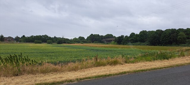
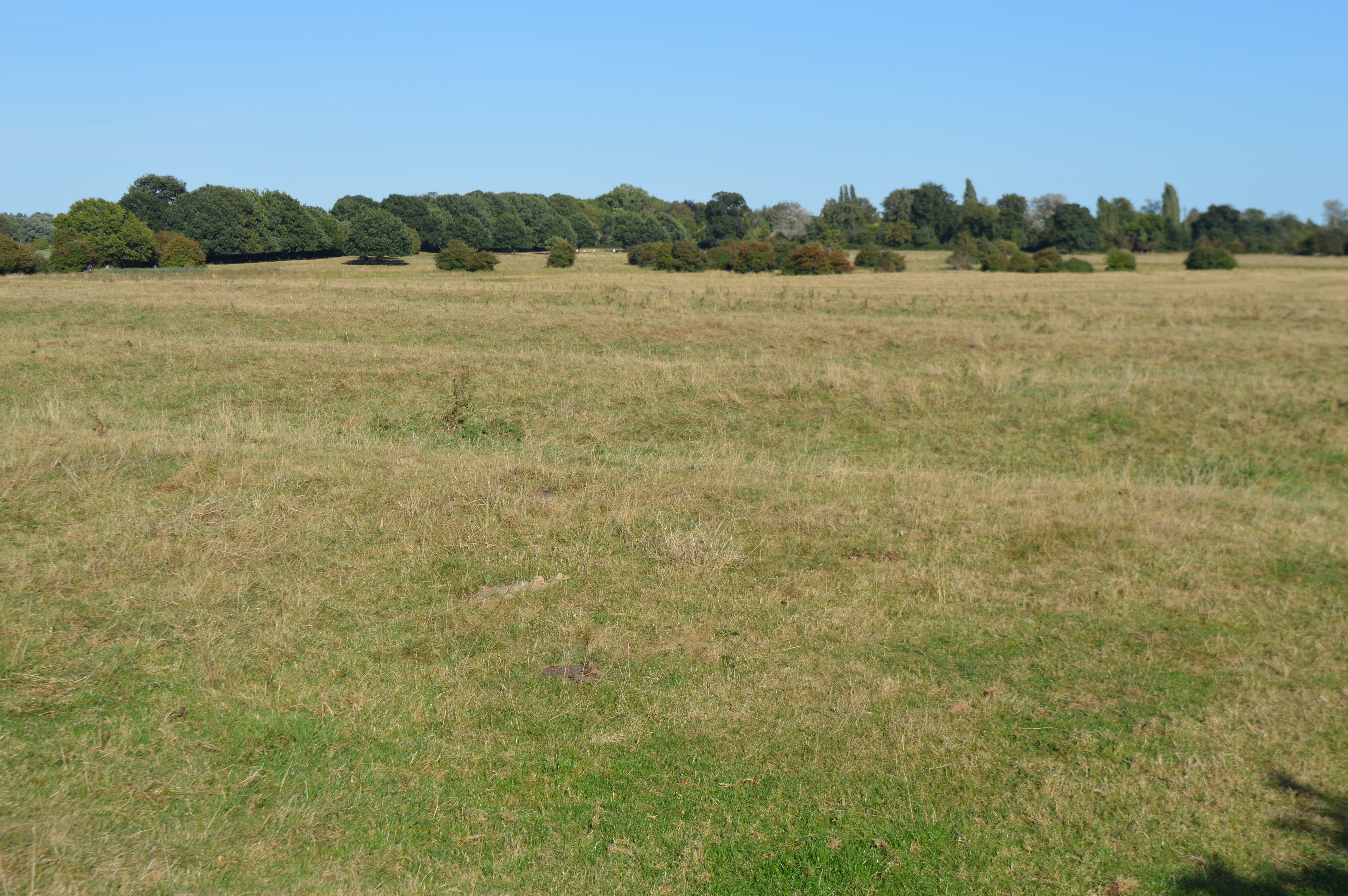
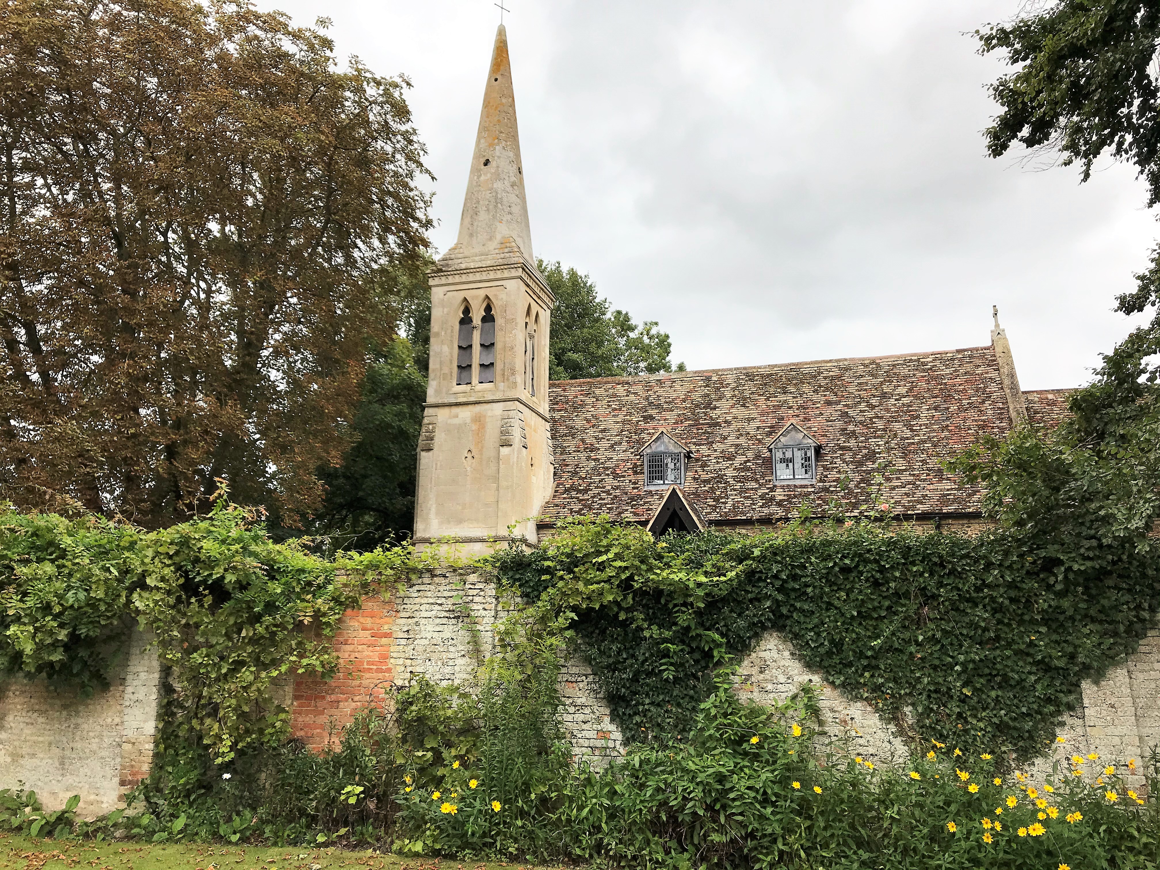
Godmanchester Eastside Common is a large area of open land located in the district of Huntingdonshire, Cambridgeshire, England. Spanning over several acres, it is characterized by its diverse landscape, encompassing both downs and moorland. This natural expanse offers a variety of habitats for flora and fauna, making it an important area for wildlife conservation.

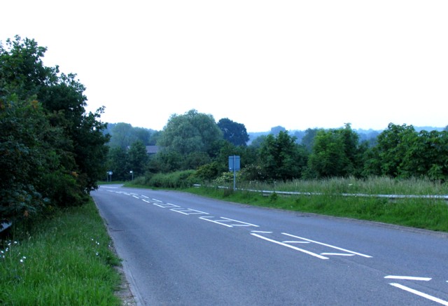
The downs section of the common features gently rolling hills, covered in short grasses, and is interspersed with small patches of woodland. This portion of the common provides a picturesque backdrop for leisure activities such as picnicking, walking, and kite flying. It also offers panoramic views of the surrounding countryside.

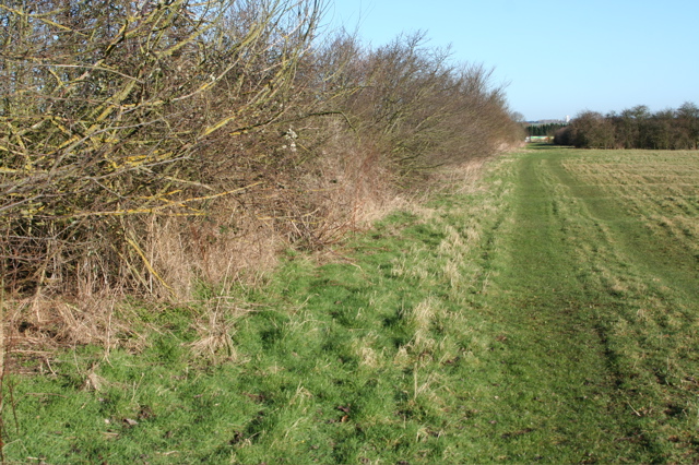
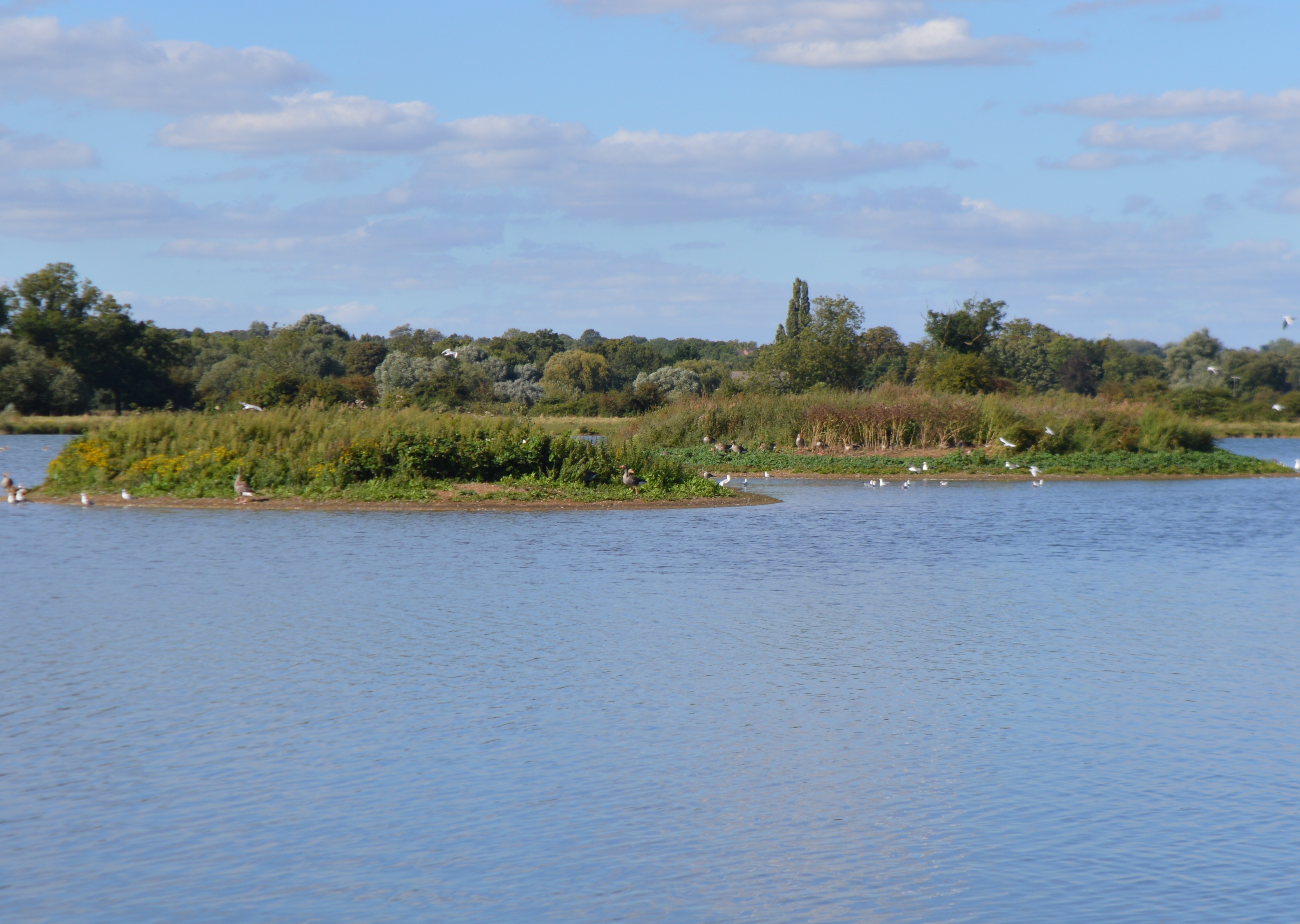
In contrast, the moorland area of Godmanchester Eastside Common is characterized by its wet and boggy terrain. It is home to a range of plant species, including heather and sphagnum moss, which thrive in this damp environment. The moorland section is particularly popular among birdwatchers, as it attracts a variety of bird species, including curlews and lapwings.

The common is managed by the local council, ensuring the preservation of its natural beauty and biodiversity. It is a designated Local Nature Reserve, highlighting its significance in terms of conservation and ecological value. Visitors to Godmanchester Eastside Common can enjoy its tranquil atmosphere, explore its diverse landscapes, and observe the abundant wildlife that call this area home.

If you have any feedback on the listing, please let us know in the comments section below.

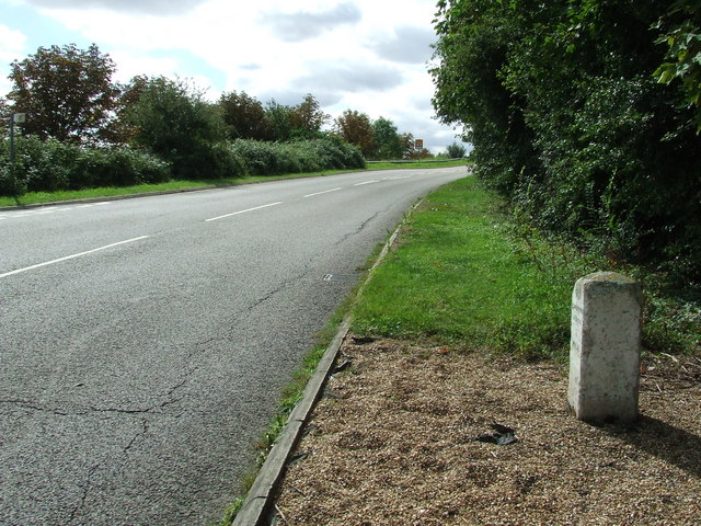
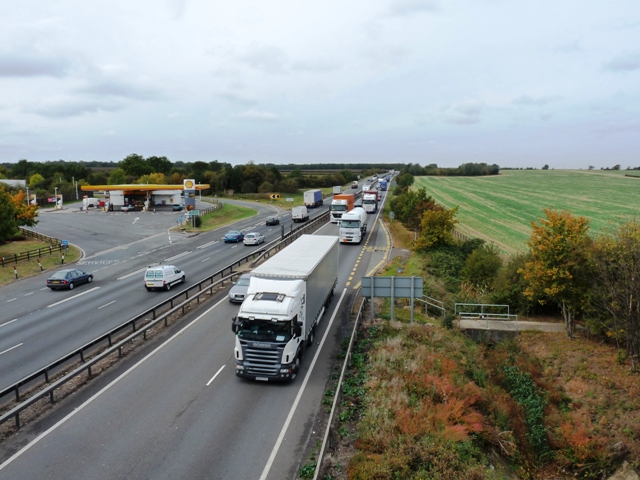
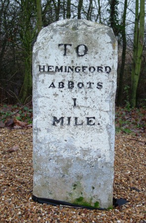
Godmanchester Eastside Common Images

Images are sourced within 2km of 52.328215/-0.13934174 or Grid Reference TL2671. Thanks to Geograph Open Source API. All images are credited.

View towards the A1307 south of Hemingford Abbots
Rideaway from the A14 overbridge
Field boundary west of Moat's Way Farm Facing north towards the A14, where a lorry can just be seen passing between the trees. This field is west of the deserted Moat's Way Farm.
Field boundary west of Moat's Way Farm
Facing north towards the A14, where a lorry can just be seen passing between the trees. This field is west of the deserted Moat's Way Farm.
Old Milestone Old milestone near to Hemingford Abbots, Cambridgeshire. For overall view see <a title="https://www.geograph.org.uk/photo/1461091" href="https://www.geograph.org.uk/photo/1461091">Link</a>
Old Milestone
Old milestone near to Hemingford Abbots, Cambridgeshire. For overall view see Link
Old Milestone Old milestone near to Hemingford Abbots, Cambridgeshire. For close up view see <a title="https://www.geograph.org.uk/photo/1461085" href="https://www.geograph.org.uk/photo/1461085">Link</a>
Old Milestone
Old milestone near to Hemingford Abbots, Cambridgeshire. For close up view see Link
The busy A14 trunk road Consultation is currently (late 2009) taking place to widen the A14 between Ellington and Fen Ditton.
The busy A14 trunk road
Consultation is currently (late 2009) taking place to widen the A14 between Ellington and Fen Ditton.
Old Milestone north of the A1307, Hemingford Abbotts Parish Carved stone post by the UC road, in parish of HEMINGFORD ABBOTS (HUNTINGDONSHIRE District), South of Ridgeway Farm, at junction with new UC road leading from and to the newly dualled A14, on the verge, on West side of road. Stone relocated from its original position by the A14 when that road was upgraded. Originally erected by an unknown authority in the 19th century. 

Inscription reads:-
TO
HEMINGFORD
ABBOTS
1
MILE 
Carved benchmark on top.

Cambridgeshire HER listed
CHER Number: MCB18317 <span class="nowrap"><a title="https://www.heritagegateway.org.uk/Gateway/Results_Single.aspx?uid=MCB18317&resourceID=1000" rel="nofollow ugc noopener" href="https://www.heritagegateway.org.uk/Gateway/Results_Single.aspx?uid=MCB18317&resourceID=1000">Link</a><img style="margin-left:2px;" alt="External link" title="External link - shift click to open in new window" src="https://s1.geograph.org.uk/img/external.png" width="10" height="10"/></span>

Milestone Society National ID: HU_HA01.
Old Milestone north of the A1307, Hemingford Abbotts Parish
Carved stone post by the UC road, in parish of HEMINGFORD ABBOTS (HUNTINGDONSHIRE District), South of Ridgeway Farm, at junction with new UC road leading from and to the newly dualled A14, on the verge, on West side of road. Stone relocated from its original position by the A14 when that road was upgraded. Originally erected by an unknown authority in the 19th century. Inscription reads:- TO HEMINGFORD ABBOTS 1 MILE Carved benchmark on top. Cambridgeshire HER listed CHER Number: MCB18317 LinkExternal link Milestone Society National ID: HU_HA01.
A14 eastbound - Rideaway Bridge A minor road connecting Hemingford Abbots to the westbound A14.
A14 eastbound - Rideaway Bridge
A minor road connecting Hemingford Abbots to the westbound A14.
Rural road junction  Approaching the road junction.
Rural road junction
Approaching the road junction.
Rideaway crossing the A14
A1307 towards Godmanchester Formerly the A14 but now with the bypass open and the Huntingdon Viaduct being dismantled it is currently safe to stop here on a bike as the road is closed beyond the next junction.
A1307 towards Godmanchester
Formerly the A14 but now with the bypass open and the Huntingdon Viaduct being dismantled it is currently safe to stop here on a bike as the road is closed beyond the next junction.
Field by A1307
Field by A1307
Not very busy A1307 Compare with <a href="https://www.geograph.org.uk/photo/1528155">TL2769 : The busy A14 trunk road</a>. The A14 bypass south of Huntingdon is now open, with this section now renamed as the A1307 and closed at the next junction as new roads are built through Huntingdon.
Not very busy A1307
Compare with TL2769 : The busy A14 trunk road. The A14 bypass south of Huntingdon is now open, with this section now renamed as the A1307 and closed at the next junction as new roads are built through Huntingdon.
Old roadsign The road used to be the A14 and it used to go to Huntingdon. It's now the A1307 after the A14 bypass opened and it currently only goes as far as Godmanchester while the Huntingdon Viaduct is dismantled and the new roads built.
Old roadsign
The road used to be the A14 and it used to go to Huntingdon. It's now the A1307 after the A14 bypass opened and it currently only goes as far as Godmanchester while the Huntingdon Viaduct is dismantled and the new roads built.
Houghton at Christmas The village shop, owned and run by the community, is well lit up for the festivities.
Houghton at Christmas
The village shop, owned and run by the community, is well lit up for the festivities.
Island Lake, Godmanchester Nature Reserve One of many sets of gravel pits along the Ouse valley.
Island Lake, Godmanchester Nature Reserve
One of many sets of gravel pits along the Ouse valley.
Island Lake, Godmanchester Nature Reserve Wildlife Trust nature reserve.
Island Lake, Godmanchester Nature Reserve
Wildlife Trust nature reserve.
Cook's Stream, Godmanchester Nature Reserve
Show me another place!

Godmanchester Eastside Common is located at Grid Ref: TL2671 (Lat: 52.328215, Lng: -0.13934174)

Administrative County: Cambridgeshire

District: Huntingdonshire

Police Authority: Cambridgeshire

What 3 Words

///sends.snowy.jigsaw. Near Houghton, Cambridgeshire

Related Wikis

Godmanchester Eastside Common

Godmanchester Eastside Common is a 29.7-hectare (73-acre) biological Site of Special Scientific Interest east of Godmanchester in Cambridgeshire. The site...

Wyton, Cambridgeshire

Wyton is a village and former civil parish, now in the parish of Houghton and Wyton, in Cambridgeshire, England. It lies approximately 2 miles (3 km) east...

Godmanchester Nature Reserve

Godmanchester Nature Reserve is a 59-hectare nature reserve in Godmanchester in Cambridgeshire, England. It is managed by the Wildlife Trust for Bedfordshire...
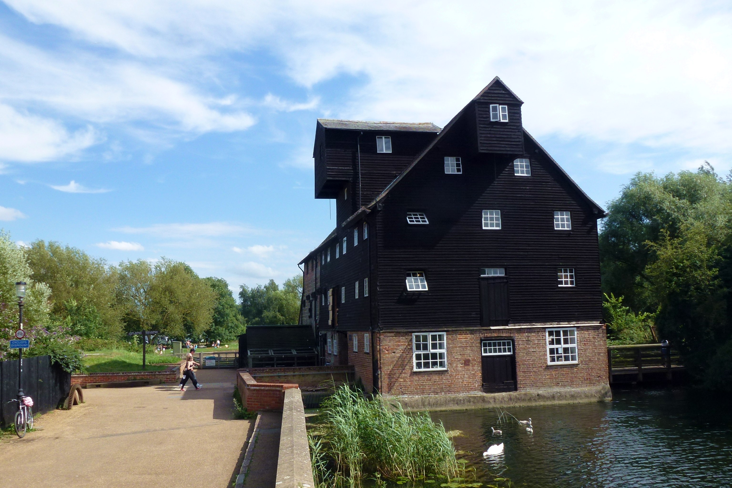
Houghton Mill

Houghton Mill is a water mill located on the Great Ouse in the village of Houghton, Cambridgeshire, England. It is a National Trust property and a Grade...

Nearby Amenities

Located within 500m of 52.328215,-0.13934174
Barrier: kissing_gate
Lat/Long: 52.33226/-0.1368913
Barrier: kissing_gate
Lat/Long: 52.3272802/-0.145263
Barrier: kissing_gate
Stile: replaced
Lat/Long: 52.3255325/-0.1451121
Barrier: stile
Lat/Long: 52.326824/-0.1348727
Barrier: kissing_gate
Foot: yes
Lat/Long: 52.3321061/-0.1368706
Barrier: kissing_gate
Lat/Long: 52.3284311/-0.1399015
Barrier: kissing_gate
Lat/Long: 52.3285109/-0.1401029
Parking
Access: private
Lat/Long: 52.3271582/-0.1460108
Parking
Access: private
Lat/Long: 52.3274839/-0.146368
Description: ridge and furrow
Historic: archaeological_site
Lat/Long: 52.3258295/-0.1424277
The data included in this document is from www.openstreetmap.org. The data is made available under ODbL.

Have you been to Godmanchester Eastside Common?

Leave your review of Godmanchester Eastside Common below (or comments, questions and feedback).