Mile Fen

Downs, Moorland in Cambridgeshire

England

Mile Fen

Stubble field near Toneham Farm
Stubble field near Toneham Farm Credit: Jonathan Thacker

The requested URL returned error: 429 Too Many Requests

If you have any feedback on the listing, please let us know in the comments section below.
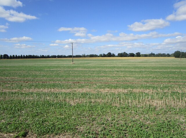
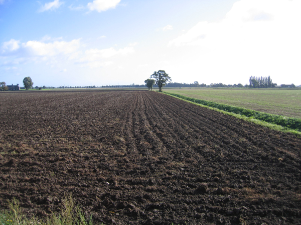
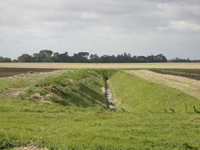
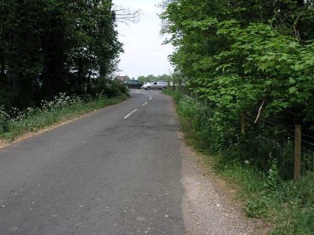
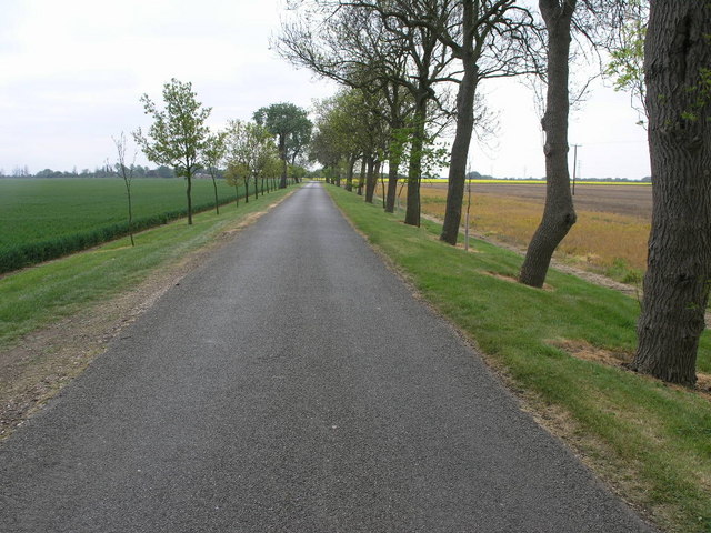
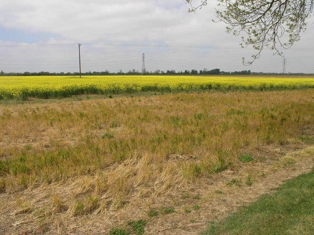
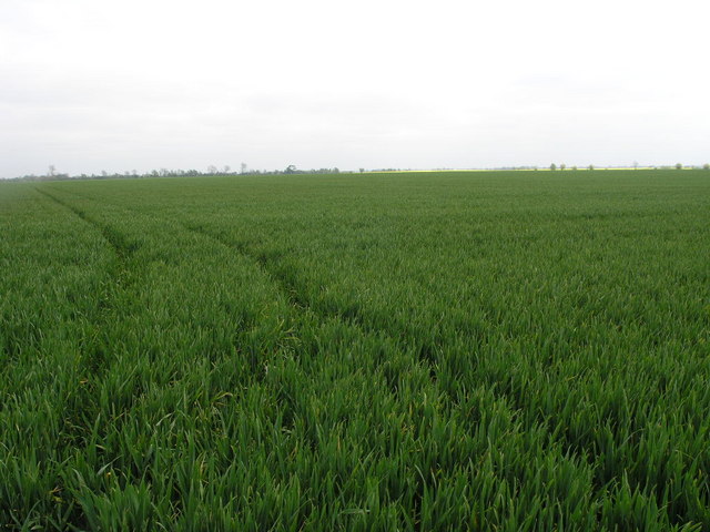
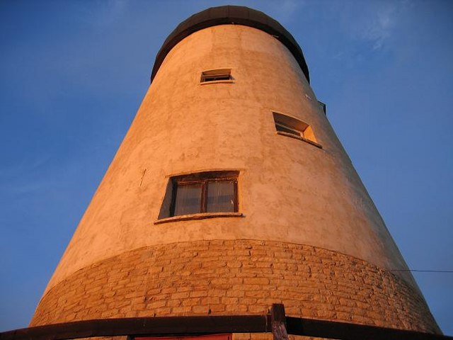
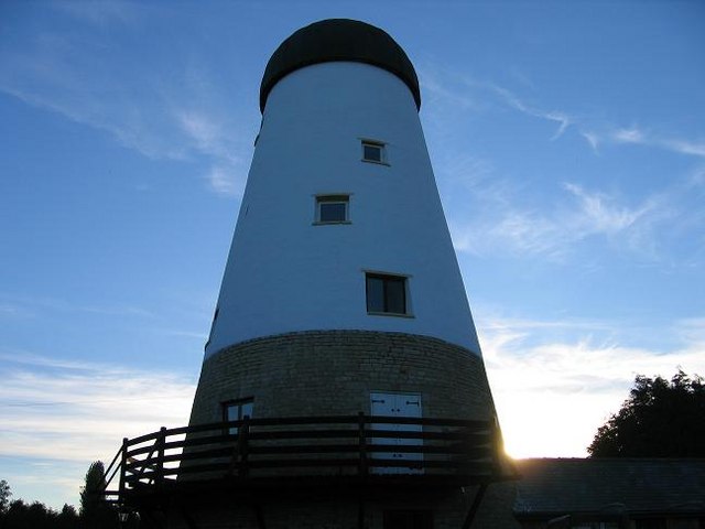
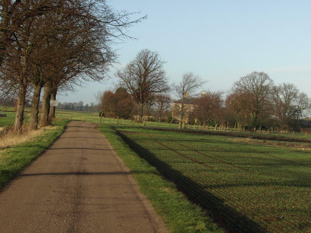
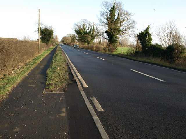
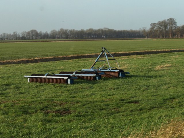
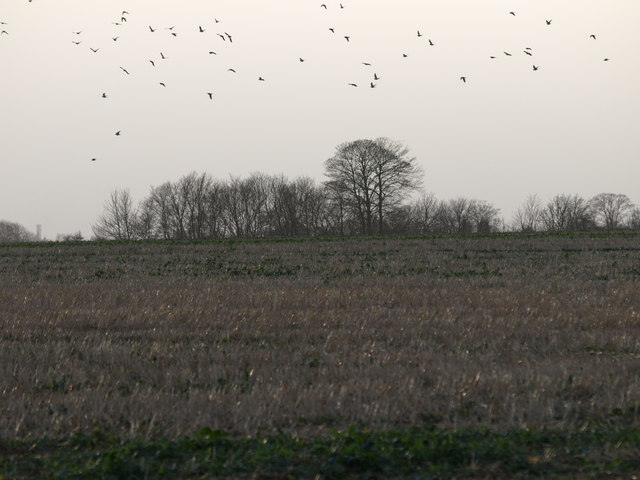
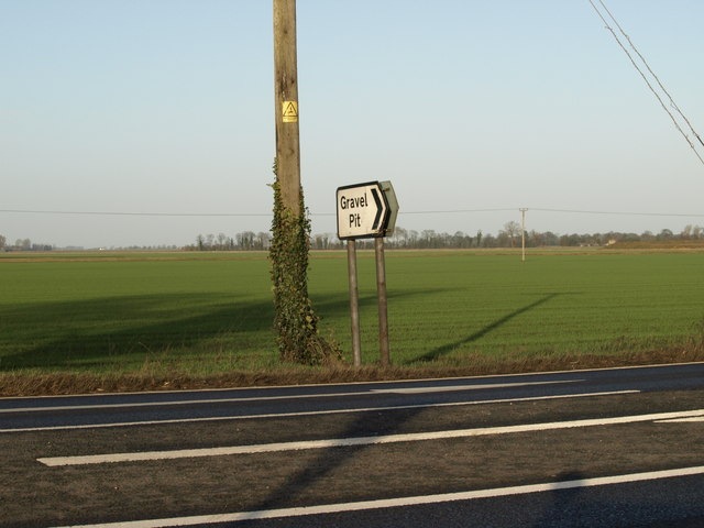
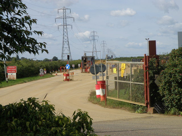
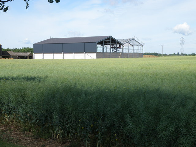
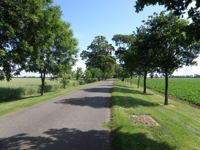
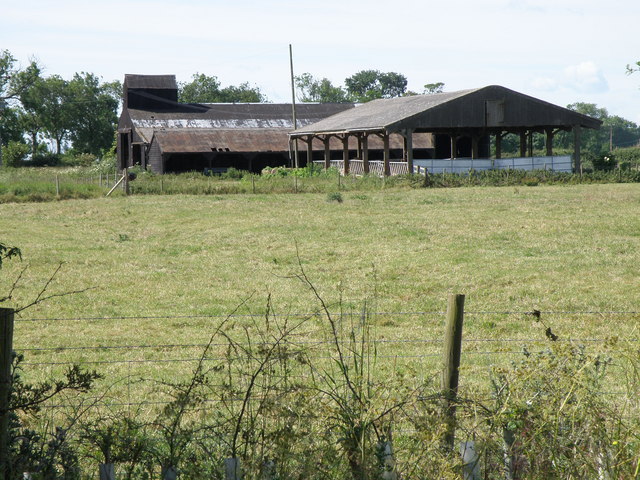
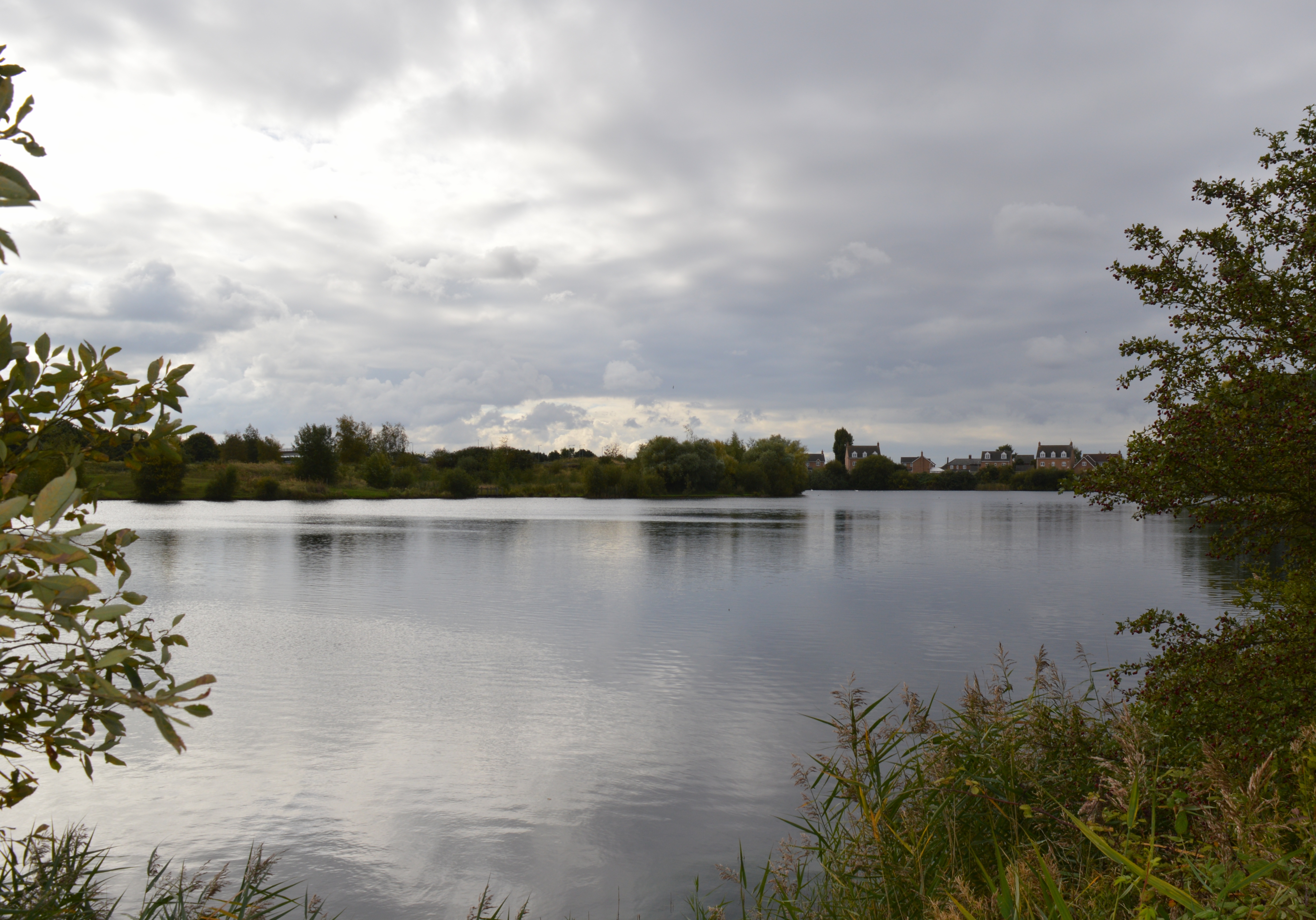
Mile Fen Images

Images are sourced within 2km of 52.613037/-0.13984411 or Grid Reference TF2603. Thanks to Geograph Open Source API. All images are credited.

Stubble field near Toneham Farm
Nipcut Road, Eye, Peterborough View E towards Catwater Farm (left) and Causeway Toll Farm, Thorney (right).
Nipcut Road, Eye, Peterborough
View E towards Catwater Farm (left) and Causeway Toll Farm, Thorney (right).
Drain, Thorney, Peterborough Looking west from the end of the Avenue
Drain, Thorney, Peterborough
Looking west from the end of the Avenue
Passing Traffic The busy A47 passes by the end of this narrow fen road.
Passing Traffic
The busy A47 passes by the end of this narrow fen road.
Odd Avenue It looks like the right hand trees in this avenue have had all the food.
Odd Avenue
It looks like the right hand trees in this avenue have had all the food.
Yellow Field The grass at this field margin has taken on the same colour as the crop.
Yellow Field
The grass at this field margin has taken on the same colour as the crop.
Just a Field Other than the odd track this square is just a field.
Just a Field
Other than the odd track this square is just a field.
Thorney Mill Restoration mid summer Restoration photo taken on midsummers eve after completing lime rendering.
Thorney Mill Restoration mid summer
Restoration photo taken on midsummers eve after completing lime rendering.
Thorney Mill Summers End Taken at the end of the lime rendering project of 2005 complete with lime wash.
Thorney Mill Summers End
Taken at the end of the lime rendering project of 2005 complete with lime wash.
Middle West Farm Taken from the access road.
Middle West Farm
Taken from the access road.
A47 Trunk Road Taken at Middle East Farm, Thorney
A47 Trunk Road
Taken at Middle East Farm, Thorney
Lonely Disc Harrow Set of disc harrows at Middle West Farm
Lonely Disc Harrow
Set of disc harrows at Middle West Farm
Spinney At Chichells Hurst This was a difficult shot as the ground rises and it was into the low sun.
Spinney At Chichells Hurst
This was a difficult shot as the ground rises and it was into the low sun.
Pode Hole Gravel Pit Entrance Pode Hole is not a reference to the hole in the ground here, but named after Pode Hole Farm on this same spot, not to be confused with Pode Hole in Lincolnshire which is about 10 miles away.
Pode Hole Gravel Pit Entrance
Pode Hole is not a reference to the hole in the ground here, but named after Pode Hole Farm on this same spot, not to be confused with Pode Hole in Lincolnshire which is about 10 miles away.
Entrance to the Sand and Gravel pit near Thorney The pit was developed to supply the upgrade of the A1M in Cambridgeshire. It continues to supply on going building projects.
Entrance to the Sand and Gravel pit near Thorney
The pit was developed to supply the upgrade of the A1M in Cambridgeshire. It continues to supply on going building projects.
New grain storage facility under construction at Willow Hall Farm
Willow Hall road The planting of trees in an otherwise flat area does much to lift the scenic as well as the environmental landscape.
Willow Hall road
The planting of trees in an otherwise flat area does much to lift the scenic as well as the environmental landscape.
Bar Pasture Farm Some mature farm buildings.
Bar Pasture Farm
Some mature farm buildings.
Show me another place!

Mile Fen is located at Grid Ref: TF2603 (Lat: 52.613037, Lng: -0.13984411)

Division: Isle of Ely

Unitary Authority: Peterborough

Police Authority: Cambridgeshire

What 3 Words

///nightlife.proceeds.game. Near Thorney, Cambridgeshire

Nearby Locations

Mile Fen

Related Wikis

Thorney Abbey

Thorney Abbey, now the Church of St Mary and St Botolph, was a medieval monastic house established on the island of Thorney in The Fens of Cambridgeshire...

Thorney railway station

Thorney railway station was a station in Thorney, Cambridgeshire on the Midland and Great Northern Joint Railway line between Peterborough and Wisbech...

Thorney, Cambridgeshire

Thorney is a village in the Peterborough unitary authority in the ceremonial county of Cambridgeshire, England. Located around eight miles (13 km) east...

Eye Green Local Nature Reserve

Eye Green Local Nature Reserve is a 12 hectare Local Nature Reserve in Eye Green in Cambridgeshire. It was managed by the Wildlife Trust for Bedfordshire...

Nearby Amenities

Located within 500m of 52.613037,-0.13984411
Power: tower
Lat/Long: 52.6136087/-0.145397
Power: tower
Lat/Long: 52.6173478/-0.140097
Power: tower
Lat/Long: 52.6154327/-0.1428221
Power: pole
Lat/Long: 52.6174724/-0.1408121
Power: pole
Lat/Long: 52.6171954/-0.1412556
Crossing
Lat/Long: 52.6173326/-0.1407017
The data included in this document is from www.openstreetmap.org. The data is made available under ODbL.

Have you been to Mile Fen?

Leave your review of Mile Fen below (or comments, questions and feedback).