North Fen
Downs, Moorland in Cambridgeshire
England
North Fen
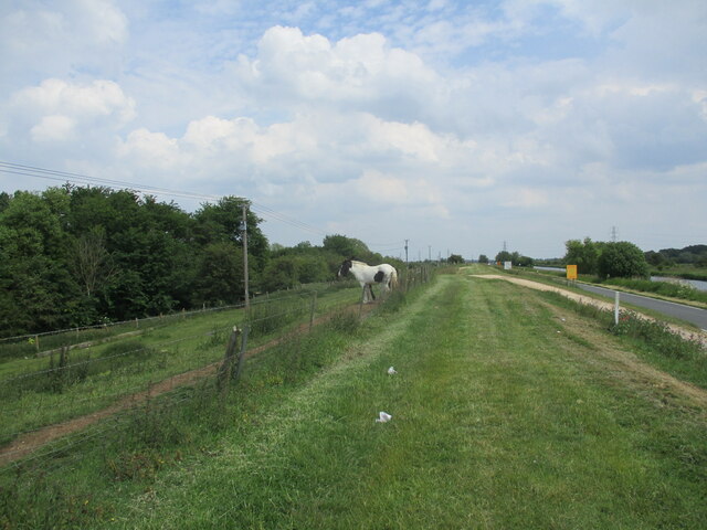
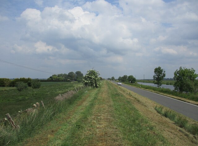
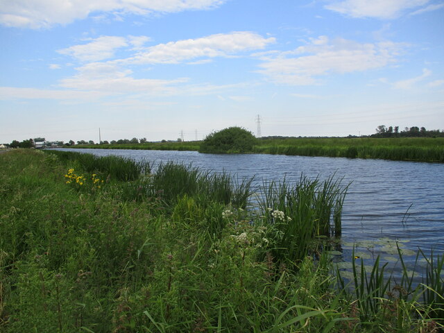
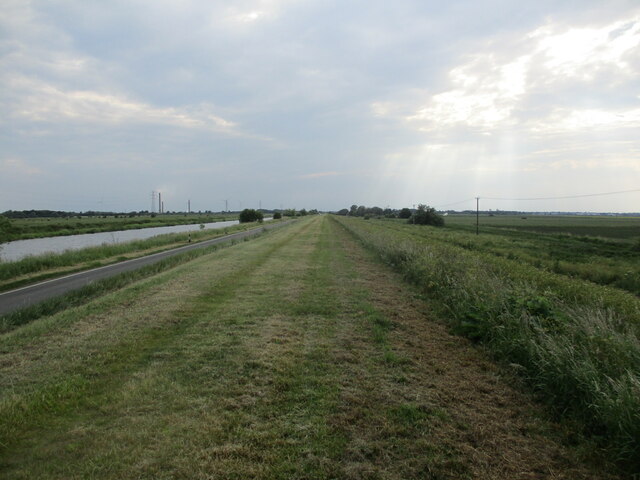
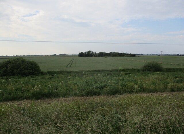
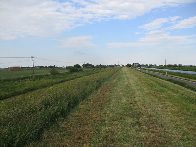
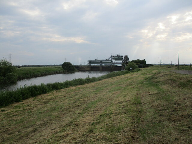
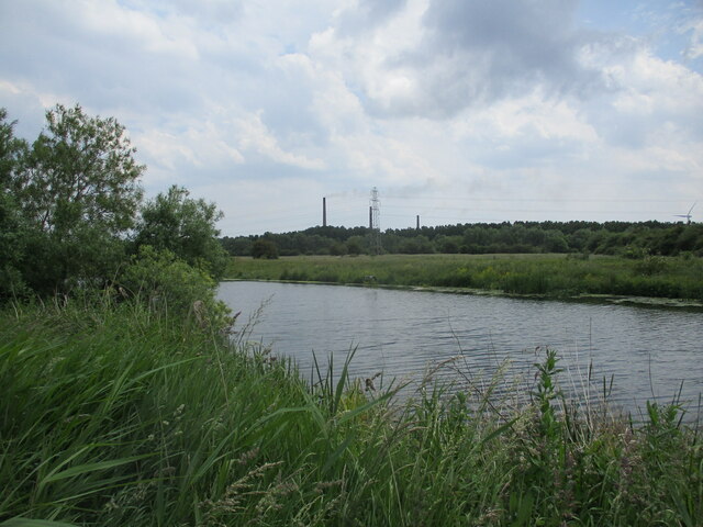
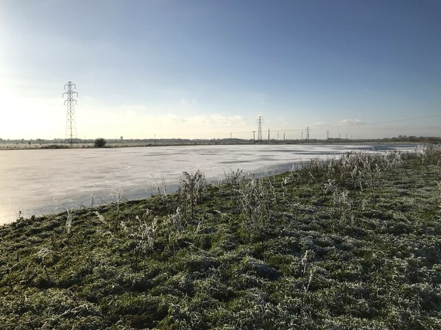
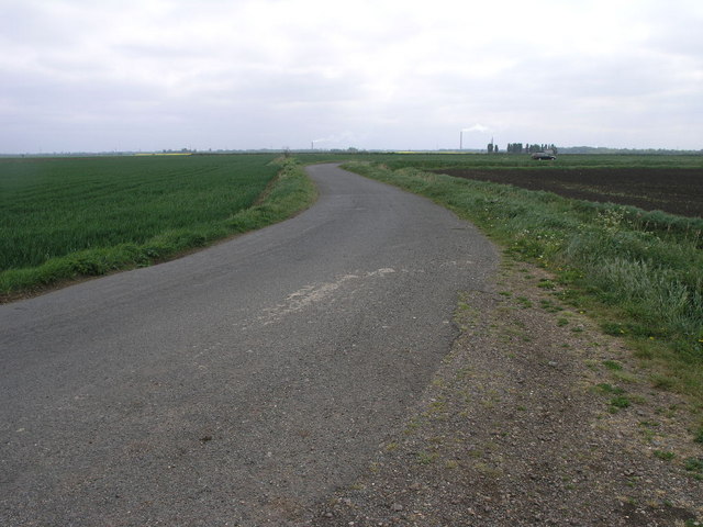
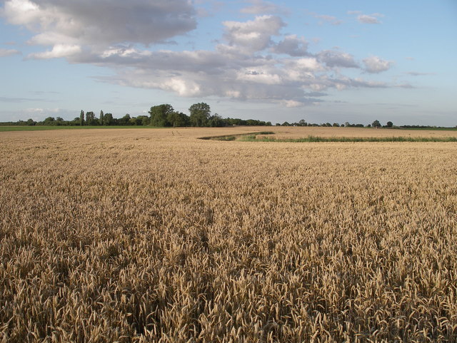
North Fen is a region located in Cambridgeshire, England, known for its diverse natural landscapes including downs and moorland. The area is characterized by wide open spaces, rolling hills, and expansive marshes, providing a habitat for a variety of wildlife species.
The downs in North Fen are gently sloping grassy areas that are often used for grazing livestock, while the moorland consists of wet, boggy terrain with heather and grasses. These different landscapes create a unique and picturesque environment that attracts visitors seeking to explore the natural beauty of the region.
In addition to its natural features, North Fen also has a rich history dating back to ancient times, with evidence of prehistoric settlements and Roman artifacts found in the area. The region has been shaped by centuries of human activity, including agriculture and peat extraction.
Overall, North Fen offers visitors a chance to immerse themselves in the stunning scenery and rich history of Cambridgeshire, making it a popular destination for nature lovers and history enthusiasts alike.
If you have any feedback on the listing, please let us know in the comments section below.
North Fen Images
Images are sourced within 2km of 52.576628/-0.15336958 or Grid Reference TL2599. Thanks to Geograph Open Source API. All images are credited.


North Fen is located at Grid Ref: TL2599 (Lat: 52.576628, Lng: -0.15336958)
Division: Isle of Ely
Unitary Authority: Peterborough
Police Authority: Cambridgeshire
What 3 Words
///unopposed.adapt.graduated. Near Whittlesey, Cambridgeshire
Nearby Locations
Related Wikis
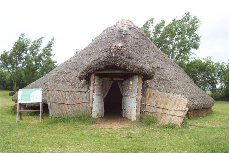
Flag Fen
Flag Fen, east of Peterborough, England, is a Bronze Age site which was constructed about 3500 years ago and consists of more than 60,000 timbers arranged...

Whittlesey
Whittlesey (also Whittlesea) is a market town and civil parish in the Fenland district of Cambridgeshire, England. Whittlesey is 6 miles (10 km) east of...

Whittlesey Rural District
Whittlesey was a rural district in the Isle of Ely from 1894 to 1926. It was created by the Local Government Act 1894 based on the Whittlesey rural sanitary...

Whittlesey Museum
The Whittlesey Museum is a local history museum in Market Street, Whittlesey, Cambridgeshire, England. It is based on the ground floor of Whittlesey Town...
Nearby Amenities
Located within 500m of 52.576628,-0.15336958Have you been to North Fen?
Leave your review of North Fen below (or comments, questions and feedback).