Wargate Field

Downs, Moorland in Lincolnshire South Holland

England

Wargate Field

Cressy Hall and Moated site near Gosberton: aerial 2021 See: <span class="nowrap"><a title="https://www.heritagegateway.org.uk/Gateway/Results_Single.aspx?uid=MLI86313&resourceID=1006" rel="nofollow ugc noopener" href="https://www.heritagegateway.org.uk/Gateway/Results_Single.aspx?uid=MLI86313&resourceID=1006">Link</a><img style="margin-left:2px;" alt="External link" title="External link - shift click to open in new window" src="https://s1.geograph.org.uk/img/external.png" width="10" height="10"/></span>
Cressy Hall and Moated site near Gosberton: aerial 2021 Credit: Simon Tomson

The requested URL returned error: 429 Too Many Requests

If you have any feedback on the listing, please let us know in the comments section below.

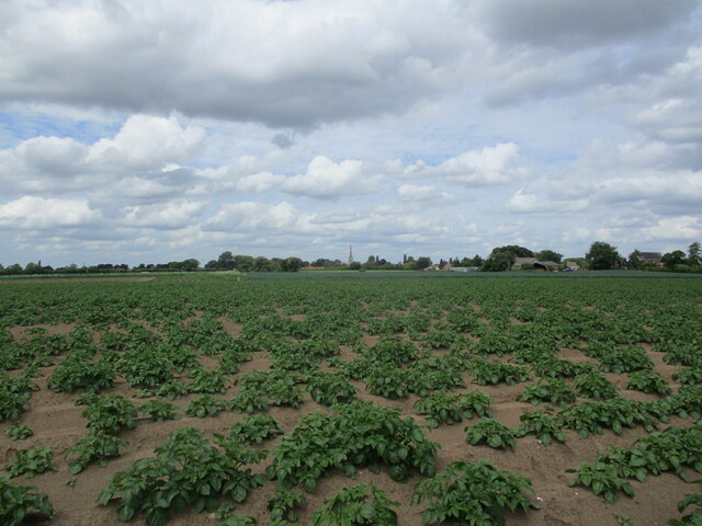
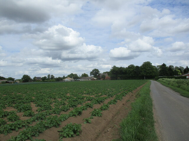
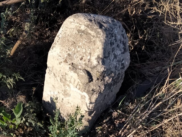
Wargate Field Images

Images are sourced within 2km of 52.853402/-0.15801011 or Grid Reference TF2430. Thanks to Geograph Open Source API. All images are credited.

Cressy Hall and Moated site near Gosberton: aerial 2021 See: <span class="nowrap"><a title="https://www.heritagegateway.org.uk/Gateway/Results_Single.aspx?uid=MLI86313&resourceID=1006" rel="nofollow ugc noopener" href="https://www.heritagegateway.org.uk/Gateway/Results_Single.aspx?uid=MLI86313&resourceID=1006">Link</a><img style="margin-left:2px;" alt="External link" title="External link - shift click to open in new window" src="https://s1.geograph.org.uk/img/external.png" width="10" height="10"/></span>
Cressy Hall and Moated site near Gosberton: aerial 2021
See: LinkExternal link
Wargate Way, Gosberton The house on the corner dates from the eighteenth century <span class="nowrap"><a title="https://historicengland.org.uk/listing/the-list/list-entry/1064423?section=official-list-entry" rel="nofollow ugc noopener" href="https://historicengland.org.uk/listing/the-list/list-entry/1064423?section=official-list-entry">Link</a><img style="margin-left:2px;" alt="External link" title="External link - shift click to open in new window" src="https://s1.geograph.org.uk/img/external.png" width="10" height="10"/></span> as does that adjacent to it <span class="nowrap"><a title="https://historicengland.org.uk/listing/the-list/list-entry/1064424?section=official-list-entry" rel="nofollow ugc noopener" href="https://historicengland.org.uk/listing/the-list/list-entry/1064424?section=official-list-entry">Link</a><img style="margin-left:2px;" alt="External link" title="External link - shift click to open in new window" src="https://s1.geograph.org.uk/img/external.png" width="10" height="10"/></span>
Wargate Way, Gosberton
The house on the corner dates from the eighteenth century LinkExternal link as does that adjacent to it LinkExternal link
Gosberton Community Hall
Potato field off Cawood Lane
Risegate Eau at Cressy Bridge Risegate Eau is completely blocked with vegetation.
Risegate Eau at Cressy Bridge
Risegate Eau is completely blocked with vegetation.
Scoldall Lane
Scoldall Lane
Potato field and Spalding Road
Gosberton Methodist Church
Co-op Food Store, Gosberton A former chapel.
Co-op Food Store, Gosberton
A former chapel.
The Bell Inn, Gosberton Dates from the early nineteenth century <span class="nowrap"><a title="https://historicengland.org.uk/listing/the-list/list-entry/1146579?section=official-list-entry" rel="nofollow ugc noopener" href="https://historicengland.org.uk/listing/the-list/list-entry/1146579?section=official-list-entry">Link</a><img style="margin-left:2px;" alt="External link" title="External link - shift click to open in new window" src="https://s1.geograph.org.uk/img/external.png" width="10" height="10"/></span>
The Bell Inn, Gosberton
Dates from the early nineteenth century LinkExternal link
Former shop, Gosberton
Church of St. Peter and St. Paul, Gosberton The spire dates from the fourteenth century <span class="nowrap"><a title="https://historicengland.org.uk/listing/the-list/list-entry/1064425?section=official-list-entry" rel="nofollow ugc noopener" href="https://historicengland.org.uk/listing/the-list/list-entry/1064425?section=official-list-entry">Link</a><img style="margin-left:2px;" alt="External link" title="External link - shift click to open in new window" src="https://s1.geograph.org.uk/img/external.png" width="10" height="10"/></span>
Church of St. Peter and St. Paul, Gosberton
The spire dates from the fourteenth century LinkExternal link
The Manor House, Gosberton
Potato field, Cawood Lane, Gosberton
Wheat field, Wargate
Sugar beet field off Station Road, Gosberton Risegate
Old Milestone, Spalding Road, Gosberton The milestone is located on the verge opposite the Baptist church on the north east side of road. Parish of Gosberton (South Holland district). Carved stone post, erected by the Spalding & Donington turnpike trust in the 19th century.

Inscription reads:

SPALDING / 6 / MILES / (GOSBERTON) / / BOSTON / 10 / MILES / (GOSBERTON)

Grade II listed, list entry number: 1064466 <span class="nowrap"><a title="https://historicengland.org.uk/listing/the-list/list-entry/1064466" rel="nofollow ugc noopener" href="https://historicengland.org.uk/listing/the-list/list-entry/1064466">Link</a><img style="margin-left:2px;" alt="External link" title="External link - shift click to open in new window" src="https://s1.geograph.org.uk/img/external.png" width="10" height="10"/></span>

Milestone Society National ID: LI_SPBO06
Old Milestone, Spalding Road, Gosberton
The milestone is located on the verge opposite the Baptist church on the north east side of road. Parish of Gosberton (South Holland district). Carved stone post, erected by the Spalding & Donington turnpike trust in the 19th century. Inscription reads: SPALDING / 6 / MILES / (GOSBERTON) / / BOSTON / 10 / MILES / (GOSBERTON) Grade II listed, list entry number: 1064466 LinkExternal link Milestone Society National ID: LI_SPBO06
Gosberton, St. Peter and St. Paul's Church: Northern aspect
Show me another place!

Wargate Field is located at Grid Ref: TF2430 (Lat: 52.853402, Lng: -0.15801011)

Administrative County: Lincolnshire

District: South Holland

Police Authority: Lincolnshire

What 3 Words

///farm.rotations.record. Near Gosberton, Lincolnshire

Nearby Locations

Wargate Field

Related Wikis

Gosberton

Gosberton is a village and civil parish in the South Holland district of Lincolnshire, England. It is situated 9 miles (14.5 km) south-west of Boston,...

Belnie

Belnie is a hamlet in the civil parish of Gosberton, Lincolnshire, England. == References ==

Gosberton railway station

Gosberton railway station was a station in Gosberton, Lincolnshire. It was opened in 1882 and closed for passengers on 11 September 1961 and freight on...

Surfleet

Surfleet is a small village and civil parish in the South Holland district of Lincolnshire, England. It is situated on the B1356 road, 3 miles (4.8 km...

Nearby Amenities

Located within 500m of 52.853402,-0.15801011
Bird's Drove Farm
Place: farm
Source: Bing
Lat/Long: 52.852239/-0.1625068
Wargate Field
Place: locality
Source: Bing
Lat/Long: 52.85176/-0.1548882
Wargate Field
Place: locality
Source: Bing
Lat/Long: 52.8558634/-0.1564139
Ashtree House
Place: isolated_dwelling
Source: Bing
Lat/Long: 52.8495846/-0.1551692
Rose Cottage
Place: isolated_dwelling
Source: Bing
Lat/Long: 52.8496002/-0.1560436
Sparrow Cottage
Place: isolated_dwelling
Source: Bing
Lat/Long: 52.8497865/-0.1584097
The data included in this document is from www.openstreetmap.org. The data is made available under ODbL.

Have you been to Wargate Field?

Leave your review of Wargate Field below (or comments, questions and feedback).