Eight Roods Land
Downs, Moorland in Huntingdonshire Huntingdonshire
England
Eight Roods Land

Eight Roods Land, located in Huntingdonshire, is a picturesque area renowned for its stunning landscapes and diverse natural features. This region, characterized by its expansive downs and moorland, offers visitors and residents alike a remarkable experience of the British countryside.
The downs of Eight Roods Land are a sight to behold, with rolling hills and vast open spaces that stretch as far as the eye can see. These downs are covered in lush green grasses, dotted with wildflowers, and provide a perfect backdrop for leisurely walks or picnics. The area is also home to an array of wildlife, including various bird species, rabbits, and foxes.
Adjacent to the downs lies the moorland, which adds an extra layer of beauty and intrigue to this already enchanting landscape. The moorland of Eight Roods Land is characterized by its heather-clad hills and peat bogs, creating a unique and diverse habitat. Visitors can enjoy exploring the moorland on foot, immersing themselves in the tranquility of this untouched wilderness.
Aside from its natural beauty, Eight Roods Land also holds historical significance. The area is dotted with ancient burial mounds and remnants of Bronze Age settlements, offering a glimpse into the region's rich past.
Overall, Eight Roods Land in Huntingdonshire is a place of exceptional beauty, offering visitors a chance to connect with nature and explore the wonders of the British countryside. Whether it's hiking through the downs, or immersing oneself in the moorland's unique ecosystem, this area is a must-visit for nature enthusiasts and history buffs alike.
If you have any feedback on the listing, please let us know in the comments section below.
Eight Roods Land Images
Images are sourced within 2km of 52.531083/-0.18261472 or Grid Reference TL2394. Thanks to Geograph Open Source API. All images are credited.


Eight Roods Land is located at Grid Ref: TL2394 (Lat: 52.531083, Lng: -0.18261472)
Administrative County: Cambridgeshire
District: Huntingdonshire
Police Authority: Cambridgeshire
What 3 Words
///lingering.botanists.basket. Near Whittlesey, Cambridgeshire
Nearby Locations
Related Wikis

Must Farm Bronze Age settlement
Part of a Bronze Age settlement was uncovered at Must Farm quarry, at Whittlesey, near Peterborough, in Cambridgeshire, England. The site has been described...
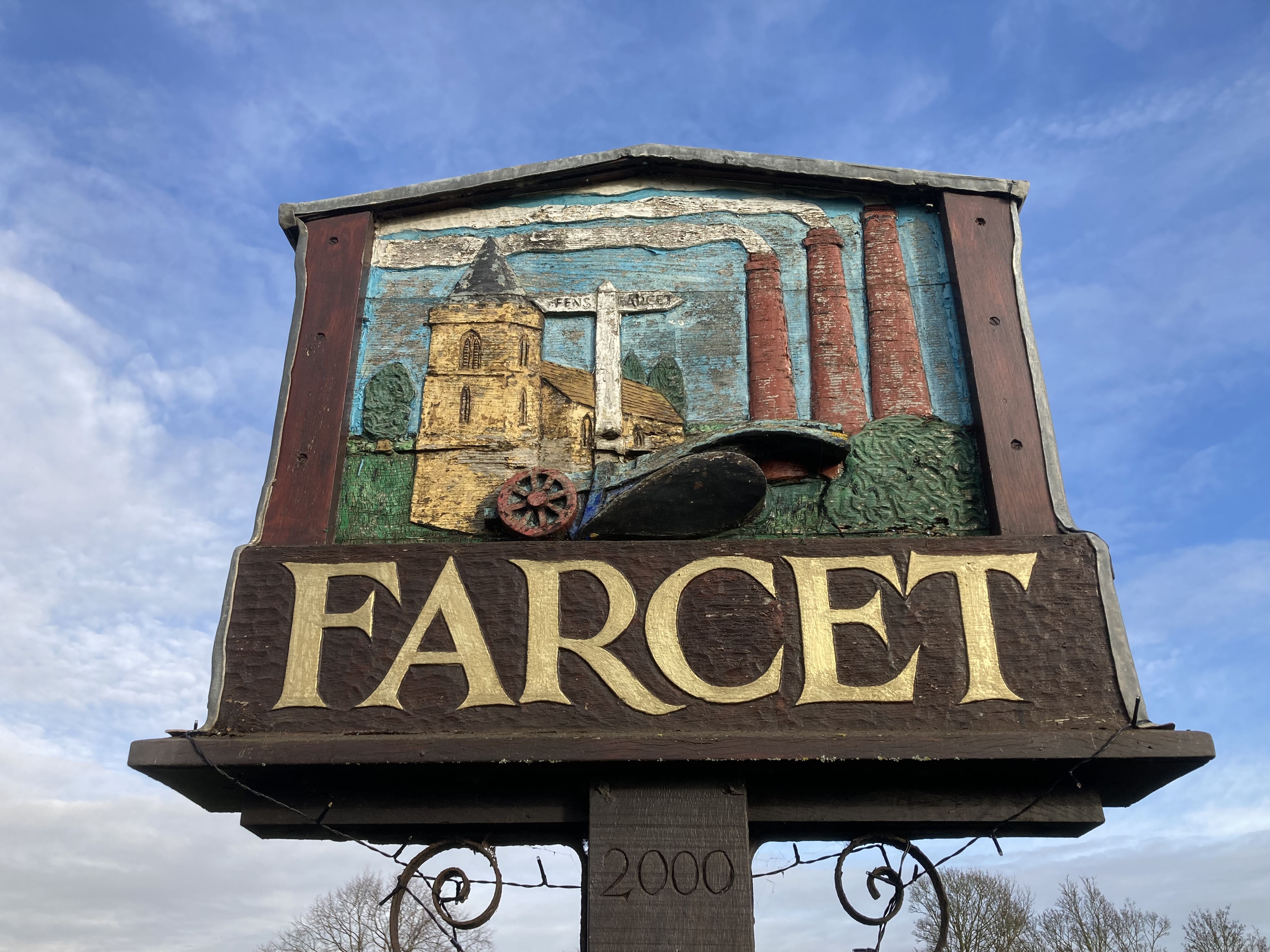
Farcet
Farcet is a village and civil parish in Cambridgeshire, England. Farcet lies approximately 2 miles (3 km) south of Peterborough city centre, between Yaxley...

Pondersbridge
Pondersbridge is a village in Whittlesey civil parish, part of the Fenland district of Cambridgeshire, England. Pondersbridge is essentially a settlement...

Stanground
Stanground is a residential area of Peterborough, in the ceremonial county of Cambridgeshire, England. For electoral purposes, it comprises the Stanground...
Have you been to Eight Roods Land?
Leave your review of Eight Roods Land below (or comments, questions and feedback).