Spalding Common

Downs, Moorland in Lincolnshire South Holland

England

Spalding Common

Prepared field, Cowbit Common This will probably be planted with brassicas in the next few days.
Prepared field, Cowbit Common Credit: Jonathan Thacker

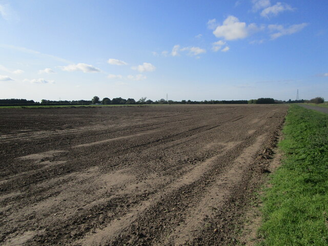
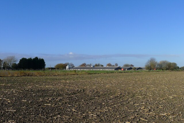
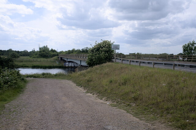
Spalding Common is a vast expanse of open land located in the county of Lincolnshire, England. Covering an area of approximately 600 acres, the common is situated near the town of Spalding, surrounded by the picturesque Lincolnshire Fens.

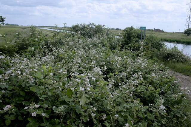
The landscape of Spalding Common is characterized by its unique downs and moorland features. The downs, or gently rolling hills, provide a scenic backdrop to the area, offering panoramic views of the surrounding countryside. The moorland, on the other hand, consists of marshy and boggy areas, rich in wildlife and plant diversity. These contrasting habitats attract a wide range of bird species, making it a popular spot for birdwatchers.

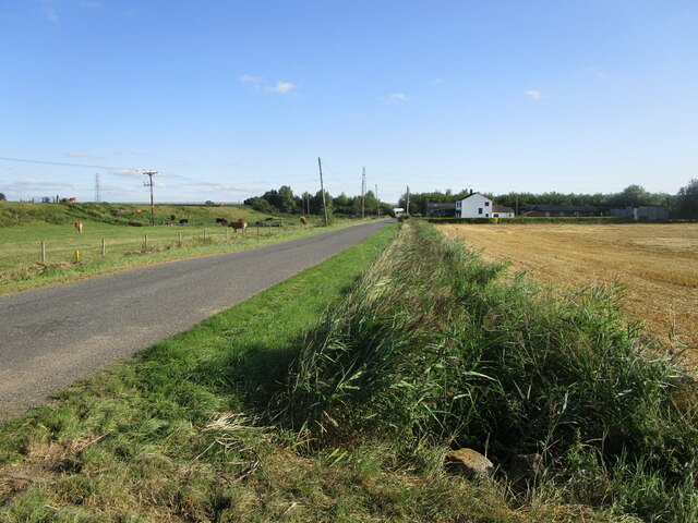
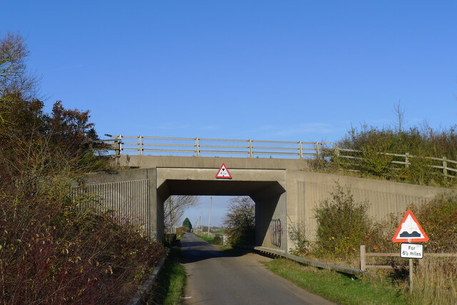
The common is crisscrossed by a network of footpaths and bridleways, allowing visitors to explore its natural beauty. It is a haven for walkers, runners, and cyclists who can enjoy the peacefulness and tranquility of the open space. The common is also home to a number of recreational facilities, including a children's play area and sports fields, catering to the needs of the local community.

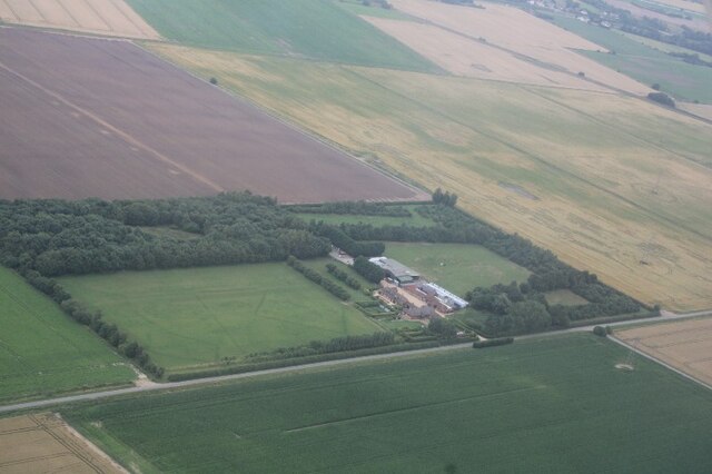
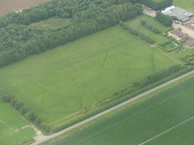
In addition to its natural and recreational offerings, Spalding Common has historical significance. It was once used as common land for grazing livestock and for turf cutting, a practice that continues today. The area also contains remnants of World War II, with several pillboxes and trenches still visible, serving as a reminder of the common's past.

Overall, Spalding Common is a diverse and captivating area, offering a perfect escape from the hustle and bustle of everyday life, and providing visitors with a chance to connect with nature and explore its unique beauty.

If you have any feedback on the listing, please let us know in the comments section below.

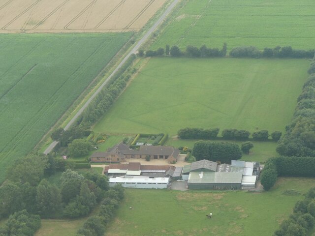
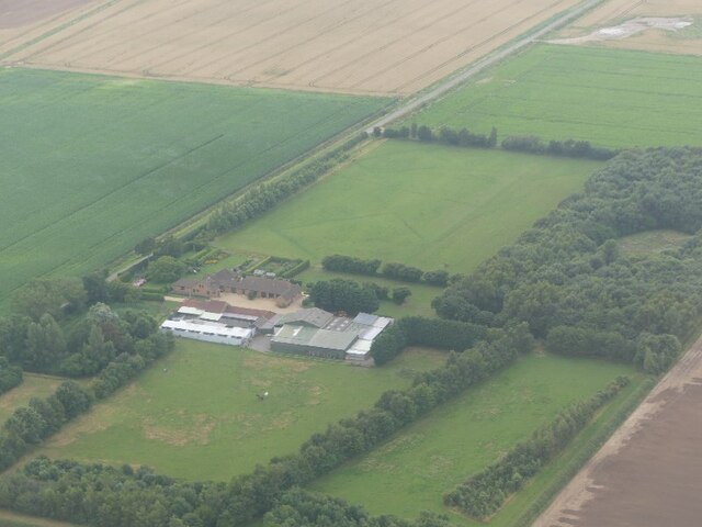
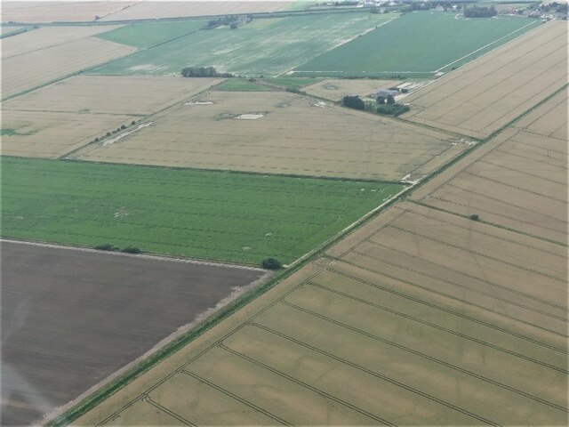
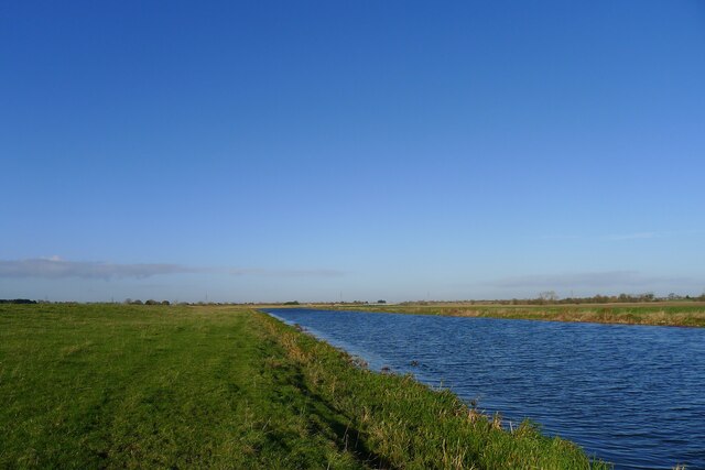
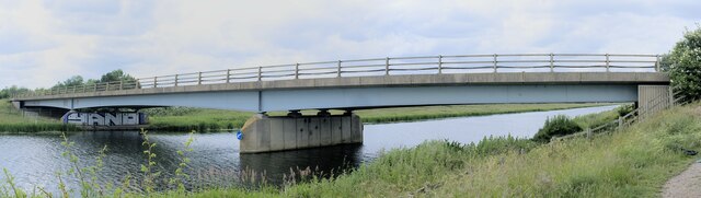
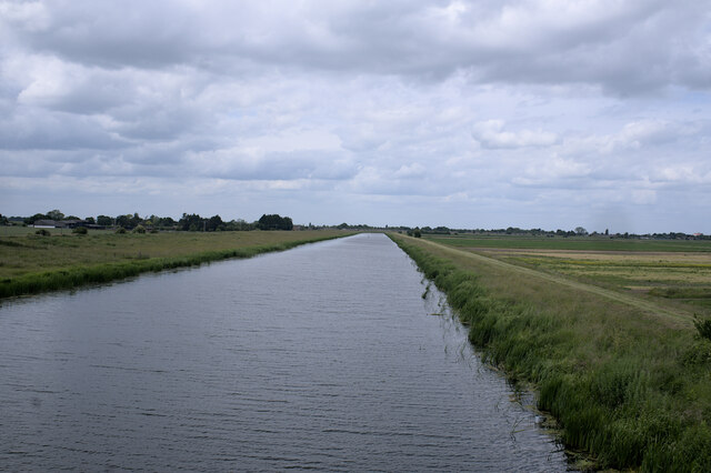
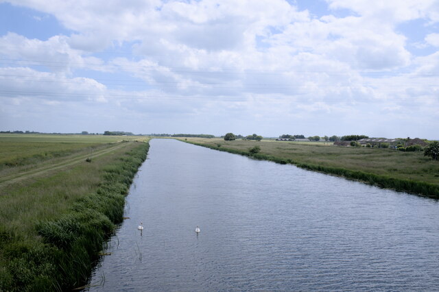
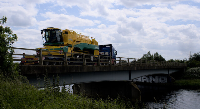
Spalding Common Images

Images are sourced within 2km of 52.762416/-0.17779975 or Grid Reference TF2319. Thanks to Geograph Open Source API. All images are credited.

Prepared field, Cowbit Common This will probably be planted with brassicas in the next few days.
Prepared field, Cowbit Common
This will probably be planted with brassicas in the next few days.
Cradge Bank Road The Welland Bank on the left. The Spalding bypass crossing in the distance.
Cradge Bank Road
The Welland Bank on the left. The Spalding bypass crossing in the distance.
Cropmarks on land at Poplar Farm, SE of Cuckoo Bridge: aerial 2021 (1)
Cropmarks on land at Poplar Farm, SE of Cuckoo Bridge: aerial 2021 (2)
Cropmarks on land at Poplar Farm, SE of Cuckoo Bridge: aerial 2021 (3)
Cropmarks on land at Poplar Farm, SE of Cuckoo Bridge: aerial 2021 (4)
Cropmarks on land near Rookery Farm: aerial 2021
The Welland west of Cowbit The washlands of Cowbit Wash are on the opposite side
The Welland west of Cowbit
The washlands of Cowbit Wash are on the opposite side
Poultry sheds, Whitehouse Farm, Spalding
Cradge Bank Road passing under the A1175
Deck of a bridge This bridge carries the A1175 over the River Welland to the south of Spalding.  The A1175 is the road formally the route of the A16 between Spalding Common and Stamford, but when the bypass was built to the east of Spalding in 1995, this route was extended over the Welland to connect with the new route of the A16, which now goes down to join the Peterborough ring roads by passing to the east of Crownland.
Deck of a bridge
This bridge carries the A1175 over the River Welland to the south of Spalding. The A1175 is the road formally the route of the A16 between Spalding Common and Stamford, but when the bypass was built to the east of Spalding in 1995, this route was extended over the Welland to connect with the new route of the A16, which now goes down to join the Peterborough ring roads by passing to the east of Crownland.
Welland Bridge A side view of the bridge in <a href="https://www.geograph.org.uk/photo/7204972">TF2319 : Deck of a bridge</a>.
Welland Bridge
A side view of the bridge in TF2319 : Deck of a bridge.
Across the Welland This is the bridge seen in <a href="https://www.geograph.org.uk/photo/7204972">TF2319 : Deck of a bridge</a>, from the Southern side.  Built in 1995 as part of the Spalding Bypass scheme, the similarities to <a href="https://www.geograph.org.uk/photo/7204203">TF2625 : Bypass over the Welland</a> at the other end of the town are obvious.  These two are the most modern bridges across the Welland.
Across the Welland
This is the bridge seen in TF2319 : Deck of a bridge, from the Southern side. Built in 1995 as part of the Spalding Bypass scheme, the similarities to TF2625 : Bypass over the Welland at the other end of the town are obvious. These two are the most modern bridges across the Welland.
The River Welland Looking downstream toward Spalding from <a href="https://www.geograph.org.uk/photo/7204972">TF2319 : Deck of a bridge</a>.
The River Welland
Looking downstream toward Spalding from TF2319 : Deck of a bridge.
Looking upstream The Welland seen from <a href="https://www.geograph.org.uk/photo/7204972">TF2319 : Deck of a bridge</a>, looking upstream across the fens of Lincolnshire.
Looking upstream
The Welland seen from TF2319 : Deck of a bridge, looking upstream across the fens of Lincolnshire.
Big load on the bridge A large, expensive, and very shiny combine harvester, sans cutters, on a low loader crossing the Welland Bridge.
Big load on the bridge
A large, expensive, and very shiny combine harvester, sans cutters, on a low loader crossing the Welland Bridge.
The track down to the riverbank The riverbank in question is, as the sign on the bridge says, the River Welland.
The track down to the riverbank
The riverbank in question is, as the sign on the bridge says, the River Welland.
Bramble patch A patch of brambles near the River Welland.  A fenland view beyond.
Bramble patch
A patch of brambles near the River Welland. A fenland view beyond.
Show me another place!

Spalding Common is located at Grid Ref: TF2319 (Lat: 52.762416, Lng: -0.17779975)

Administrative County: Lincolnshire

District: South Holland

Police Authority: Lincolnshire

What 3 Words

///filed.relay.flesh. Near Spalding, Lincolnshire

Nearby Locations

Spalding Common

Related Wikis

New River (Fens)

The New River is a drainage system in the South Holland district of Lincolnshire, England. Rising just east of Sisson's Farm near Crowland it flows very...

Spalding Rural District

Spalding was a rural district in Holland in Lincolnshire, England from 1894 to 1974. It was formed under the Local Government Act 1894 from the Spalding...

South Holland District

South Holland is a local government district of Lincolnshire, England. The council is based in Spalding. Other notable towns and villages include Crowland...

North Drove railway station

North Drove railway station was a station serving Pode Hole in Lincolnshire, England. It was on the route of the Spalding and Bourne Railway (opened 1866...

Gordon Boswell Romany Museum

The Gordon Boswell Romany Museum is the lifetime's work of Gordon Boswell (died 27 August 2016, aged 76), who amassed a collection of artefacts, photographs...

Pode Hole

Pode Hole is a village in South Holland, Lincolnshire, England. It is 2 miles (3.2 km) from Spalding and a similar distance from Bourne. The village lies...

Spalding Grammar School

Spalding Grammar School (SGS), fully known as The Queen Elizabeth Royal Free Grammar School Spalding, is an 11–18 boys' grammar school in Spalding, Lincolnshire...

Spalding War Memorial

Spalding War Memorial is a First World War memorial in the gardens of Ayscoughfee Hall (pronounced ) in Spalding, Lincolnshire, in eastern England. It...

Nearby Amenities

Located within 500m of 52.762416,-0.17779975
Bus Stop
Stennett Avenue
Naptan AtcoCode: 270000009757
Naptan Bearing: N
Naptan CommonName: Stennett Avenue
Naptan Indicator: opp
Naptan Landmark: Stennett Avenue
Naptan NaptanCode: linjdtwd
Naptan Street: Littleworth Drove
Naptan Verified: no
Source: naptan_import
Lat/Long: 52.7584775/-0.1744278
South Drove
Crossing Barrier: half
Crossing Light: yes
Railway: level_crossing
Source: Bing
Lat/Long: 52.7604759/-0.1802112
Bowman's Bridge
Place: locality
Source: Bing
Lat/Long: 52.7607838/-0.174082
Ash Holt Farm
Place: farm
Source: Bing
Lat/Long: 52.7616181/-0.1722718
Danem
Place: isolated_dwelling
Lat/Long: 52.7630534/-0.1837112
Millfield Nurseries
Place: farm
Lat/Long: 52.7640147/-0.1719188
The Conifers
Place: isolated_dwelling
Lat/Long: 52.7635769/-0.1742597
Building: yes
Lat/Long: 52.759561/-0.1804031
South Drove
Crossing Barrier: half
Crossing Light: yes
Railway: level_crossing
Lat/Long: 52.7604471/-0.1801776
n°52
Crossing: uncontrolled
Crossing Bell: no
Crossing Light: no
Railway: crossing
Supervised: no
Lat/Long: 52.7664145/-0.1753148
n°52
Crossing: uncontrolled
Crossing Bell: no
Crossing Light: no
Railway: crossing
Supervised: no
Lat/Long: 52.7664072/-0.1753885
Man Made: tower
Lat/Long: 52.7637357/-0.1773664
Crossing: uncontrolled
Crossing Bell: no
Crossing Light: no
Railway: crossing
Supervised: no
Lat/Long: 52.7609975/-0.1797132
Crossing: uncontrolled
Crossing Bell: no
Crossing Light: no
Railway: crossing
Supervised: no
Lat/Long: 52.7610311/-0.1797679
Railway: signal
Ref: WS7039
Lat/Long: 52.7597624/-0.180797
Social Facility
Ashwood Nursing Home
Addr City: Spalding
Addr Country: GB
Addr Postcode: PE11 3AS
Addr Street: Spalding Common
Fhrs Authority: South Holland
Fhrs Id: 243249
Fhrs Local Authority Id: 2880
Social Facility: nursing_home
Lat/Long: 52.7625606/-0.1735175
Generator Method: photovoltaic
Generator Output Electricity: yes
Generator Source: solar
Generator Type: solar_photovoltaic_panel
Location: roof
Power: generator
Lat/Long: 52.7653246/-0.172737
Generator Method: photovoltaic
Generator Output Electricity: yes
Generator Source: solar
Generator Type: solar_photovoltaic_panel
Location: roof
Power: generator
Lat/Long: 52.7653343/-0.1728202
Generator Method: photovoltaic
Generator Output Electricity: yes
Generator Source: solar
Generator Type: solar_photovoltaic_panel
Location: roof
Power: generator
Lat/Long: 52.7650681/-0.1731259
The data included in this document is from www.openstreetmap.org. The data is made available under ODbL.

Have you been to Spalding Common?

Leave your review of Spalding Common below (or comments, questions and feedback).