Mill Green
Downs, Moorland in Lincolnshire South Holland
England
Mill Green
Mill Green is a small village located in the county of Lincolnshire, England. Situated amidst the picturesque landscape of the Lincolnshire Wolds, it offers a charming and tranquil setting for residents and visitors alike. The village is surrounded by vast expanses of downs and moorland, providing breathtaking views and opportunities for outdoor activities.
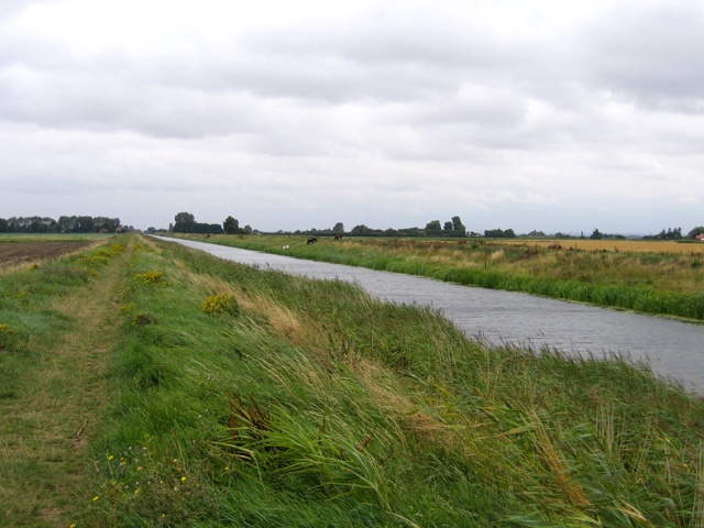
The downs in Mill Green are characterized by rolling hills covered in lush grasslands. These open spaces offer a perfect spot for nature enthusiasts to go for walks, picnics, or engage in various recreational activities. The downs are known for their rich biodiversity, with a variety of flora and fauna to be discovered.
Adjacent to the downs, the moorland in Mill Green boasts a rugged and wild beauty. It is characterized by heather-covered hills and rocky outcrops, creating a unique and dramatic landscape. Moorland walks in the area are popular among hikers and offer a chance to explore the stunning scenery while enjoying the fresh air.
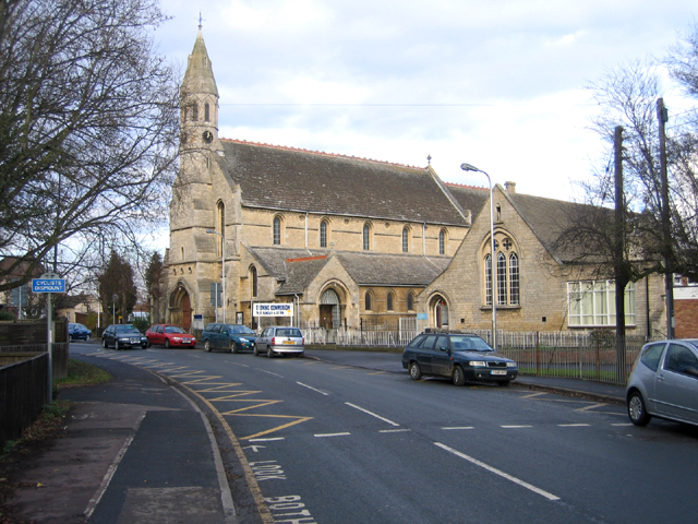
Aside from its natural beauty, Mill Green is also home to a close-knit community. The village has a small population, and its residents take great pride in maintaining the village's traditional charm. Historic buildings, such as the village church and old mill, add to the village's character, providing a glimpse into its rich heritage.
Overall, Mill Green, Lincolnshire offers a peaceful retreat in the heart of the stunning Lincolnshire Wolds. With its downs, moorland, and strong community spirit, it is an idyllic destination for those seeking a close connection with nature and a slower pace of life.
If you have any feedback on the listing, please let us know in the comments section below.
Mill Green Images
Images are sourced within 2km of 52.792653/-0.18313631 or Grid Reference TF2223. Thanks to Geograph Open Source API. All images are credited.


Mill Green is located at Grid Ref: TF2223 (Lat: 52.792653, Lng: -0.18313631)
Administrative County: Lincolnshire
District: South Holland
Police Authority: Lincolnshire
What 3 Words
///feuds.transcribes.shows. Near Spalding, Lincolnshire
Nearby Locations
Related Wikis
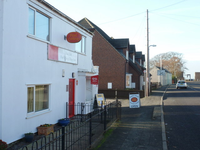
Pode Hole
Pode Hole is a village in South Holland, Lincolnshire, England. It is 2 miles (3.2 km) from Spalding and a similar distance from Bourne. The village lies...
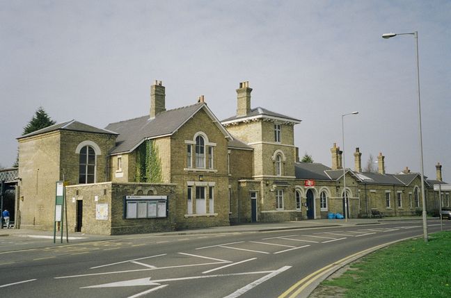
Spalding railway station
Spalding railway station serves the town of Spalding, Lincolnshire, England. It lies on the Peterborough–Lincoln line. == History == Spalding gained its...

Spalding bus station
Spalding bus station is a bus station in Spalding, Lincolnshire. It is owned and operated by South Holland District Council. == History == Plans for the...
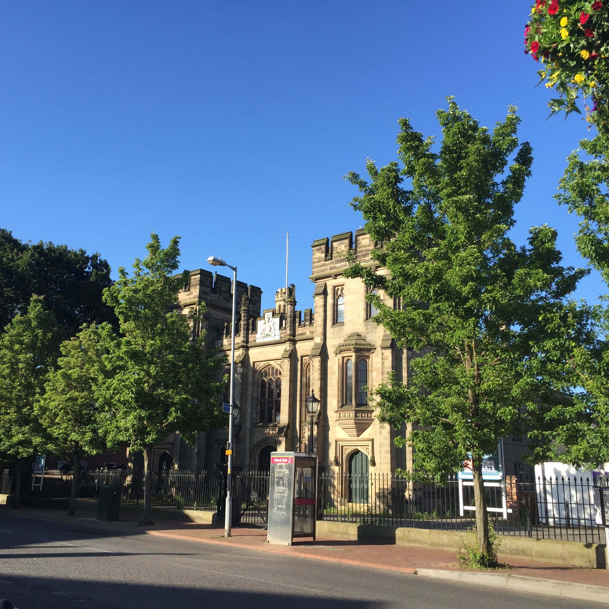
Spalding Sessions House
Spalding Sessions House is a judicial structure in the Sheep Market in Spalding, Lincolnshire, England. The structure, which used to be the main courthouse...
Pinchbeck United F.C.
Pinchbeck United Football Club is a football club based in Pinchbeck, Lincolnshire, England. They are currently members of the United Counties League Premier...
Spalding United F.C.
Spalding United Football Club is a football club based in Spalding, Lincolnshire, England. The club are currently members of the Northern Premier League...

Spalding, Lincolnshire
Spalding () is a market town on the River Welland in the South Holland district of Lincolnshire, England. The town had a population of 34,113 at the 2017...

Spalding Grammar School
Spalding Grammar School (SGS), fully known as The Queen Elizabeth Royal Free Grammar School Spalding, is an 11–18 boys' grammar school in Spalding, Lincolnshire...
Nearby Amenities
Located within 500m of 52.792653,-0.18313631Have you been to Mill Green?
Leave your review of Mill Green below (or comments, questions and feedback).