West Field

Downs, Moorland in Yorkshire

England

West Field

Humbleton, St Peter
Humbleton, St Peter Credit: Dave Kelly

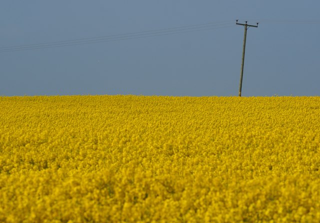
West Field is a scenic region located in Yorkshire, England, known for its picturesque landscapes and diverse natural features. Situated amidst the stunning Yorkshire Downs and Moorland, the area offers a unique blend of rolling hills, lush meadows, and vast stretches of open moorland.

The Yorkshire Downs in West Field are characterized by gently sloping hills and expansive grasslands, providing a serene backdrop for walkers and hikers. Visitors can enjoy breathtaking panoramic views of the surrounding countryside and immerse themselves in the tranquility of this rural retreat.

In contrast, the Moorland of West Field offers a wild and rugged terrain, with heather-covered hills interspersed with rocky outcrops. This untamed landscape is home to a variety of wildlife, including birds of prey, grouse, and deer, making it a haven for nature enthusiasts and birdwatchers.

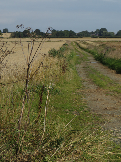
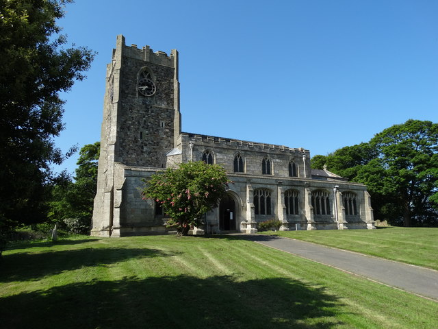
The region boasts several well-maintained walking trails and paths, allowing visitors to explore the beauty of West Field at their own pace. These trails offer a chance to discover hidden gems such as ancient stone circles, historic ruins, and quaint villages that dot the landscape.

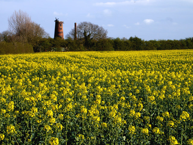
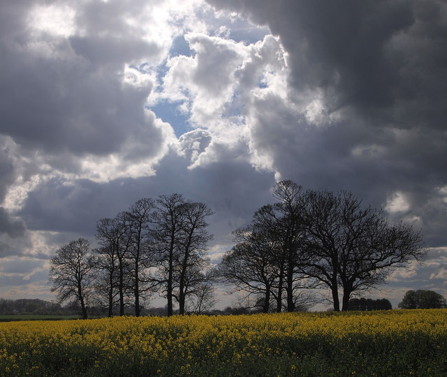
West Field is also renowned for its vibrant flora, with vibrant wildflowers adorning the meadows during the spring and summer months. This natural beauty attracts artists, photographers, and nature lovers who seek to capture the essence of this captivating region.

With its diverse range of landscapes, West Field in Yorkshire offers a captivating and immersive experience for visitors seeking to connect with nature and explore the untamed beauty of the English countryside.

If you have any feedback on the listing, please let us know in the comments section below.
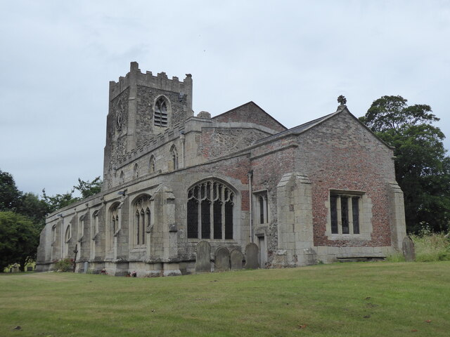
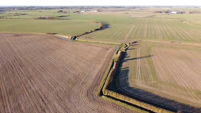
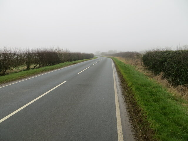
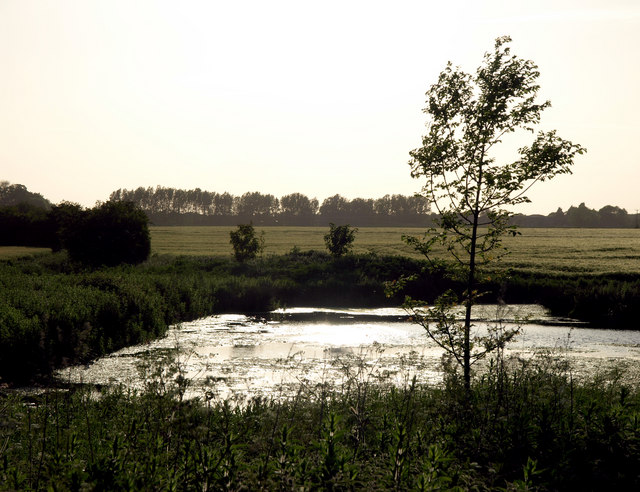
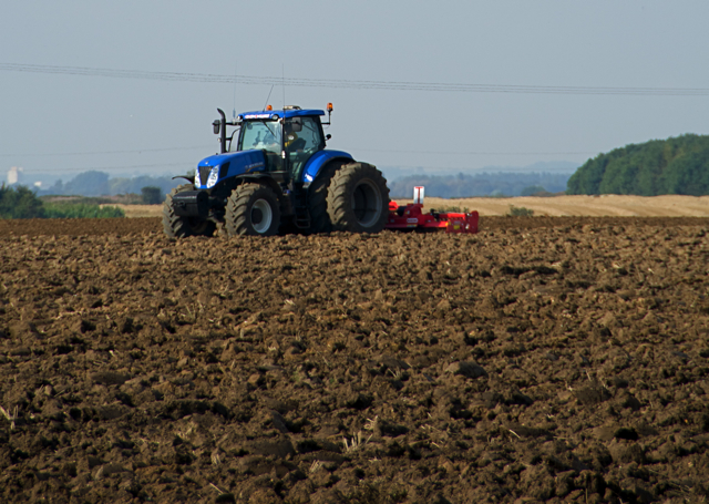
West Field Images

Images are sourced within 2km of 53.793287/-0.14854904 or Grid Reference TA2234. Thanks to Geograph Open Source API. All images are credited.

Humbleton, St Peter
Humbleton, St Peter
Zig Zags from the Air Farmland, in various locations in the Holderness area of East Yorkshire, has been suffering from severe flooding in places in the last couple of months.  Fortunately, this land seems to be fairly unscathed.  It's about 15 metres above sea level and even at this modest height seems to have escaped the worst consequences of the rain.
Zig Zags from the Air
Farmland, in various locations in the Holderness area of East Yorkshire, has been suffering from severe flooding in places in the last couple of months. Fortunately, this land seems to be fairly unscathed. It's about 15 metres above sea level and even at this modest height seems to have escaped the worst consequences of the rain.
The Long Shadows of the Copse According to the 25,000 map, this sizeable copse has no name.  The mid-afternoon low January sun cast some very long shadows over the arable surrounding farmland.
The Long Shadows of the Copse
According to the 25,000 map, this sizeable copse has no name. The mid-afternoon low January sun cast some very long shadows over the arable surrounding farmland.
Sproatley Road at Flinton Looking north-eastward.
Sproatley Road at Flinton
Looking north-eastward.
Small Pond east of Sproatley The pond is situated near to the Sproatley to Lelley path.
Small Pond east of Sproatley
The pond is situated near to the Sproatley to Lelley path.
The Derelict Mill near Elstronwick The sail-less derelict windmill continues to relentlessly decay. The newly-flowered rapeseed has taken a lot longer than normal to reach this stage - presumably due to the cold weather we've had of late.
The Derelict Mill near Elstronwick
The sail-less derelict windmill continues to relentlessly decay. The newly-flowered rapeseed has taken a lot longer than normal to reach this stage - presumably due to the cold weather we've had of late.
Trees near Humbleton Grange
Farm track, Humbleton Track near Humbleton Manor Farm, leading to Flinton Grange from Long Lane
Farm track, Humbleton
Track near Humbleton Manor Farm, leading to Flinton Grange from Long Lane
Ploughing near Humbleton Arable field cultivation close to Humbleton Road
Ploughing near Humbleton
Arable field cultivation close to Humbleton Road
Power through the Field An 11,000V power line carries power over the fertile farmland of South Holderness.  The rapeseed crop has finally fully blossomed after weeks of colder than normal weather.
Power through the Field
An 11,000V power line carries power over the fertile farmland of South Holderness. The rapeseed crop has finally fully blossomed after weeks of colder than normal weather.
St Peter's Church, Humbleton
Entering Humbleton on Danthorpe Road
The Elstronwick old windmill
Ploughed field near Humbleton Hall
Farm track near Humbleton Hall
View from the churchyard, Humbleton
Potato crop on Humbleton Moor Moor Farm in the distance.
Potato crop on Humbleton Moor
Moor Farm in the distance.
Show me another place!

West Field is located at Grid Ref: TA2234 (Lat: 53.793287, Lng: -0.14854904)

Division: East Riding

Unitary Authority: East Riding of Yorkshire

Police Authority: Humberside

What 3 Words

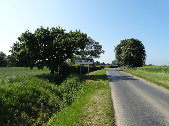
///musically.under.formation. Near Humbleton, East Yorkshire

Related Wikis

Humbleton

Humbleton is a village and civil parish in the East Riding of Yorkshire, England, in an area known as Holderness. It is situated approximately 9 miles...

Beverley and Holderness (UK Parliament constituency)

Beverley and Holderness is a county constituency in the East Riding of Yorkshire for the House of Commons of the Parliament of the United Kingdom. It elects...

Holderness (borough)

Holderness was a local government district and borough in northern England, named after the Holderness peninsula. It was formed on 1 April 1974 along with...

Flinton, East Riding of Yorkshire

Flinton is a village in the civil parish of Humbleton, in the East Riding of Yorkshire, England, in an area known as Holderness. It is situated approximately...

Nearby Amenities

Located within 500m of 53.793287,-0.14854904
The data included in this document is from www.openstreetmap.org. The data is made available under ODbL.

Have you been to West Field?

Leave your review of West Field below (or comments, questions and feedback).