Acredike Lands

Downs, Moorland in Yorkshire

England

Acredike Lands

Mappleton, a case study in coastal management: aerial 2021 See <a href="https://www.geograph.org.uk/photo/5720153">TA2244 : Mappleton, a case study in coastal management: aerial 2018</a>.

In a line of crumbling cliffs is this section of "managed" coastline.

In 1991 two rock groynes and a rock revetment made from big blocks of Scandinavian rock were built, resulting in the accumulation of a substantial beach between the groynes, halting erosion.

Cliffs to the north are stable but further south the rate of erosion has increased because material which is being carried south is not being replaced (it is trapped within the groynes).
Mappleton, a case study in coastal management: aerial 2021 Credit: Simon Tomson

Acredike Lands, located in the picturesque region of Yorkshire, encompasses a diverse landscape of downs and moorland, captivating visitors with its natural beauty and rich history. Nestled amidst rolling hills, this area offers a serene environment, perfect for nature enthusiasts and those seeking tranquility.

The downs of Acredike Lands showcase vast open spaces, adorned with lush green grasslands that extend as far as the eye can see. Gentle slopes and undulating terrain provide a charming backdrop for leisurely walks and picnics, while also offering panoramic views of the surrounding countryside.

Moving further into the moorland, visitors are greeted by a more rugged and wild terrain. Heather-covered hillsides, interspersed with rocky outcrops and meandering streams, create a contrasting landscape teeming with biodiversity. The moorland is particularly famous for its unique flora and fauna, including rare bird species like the red grouse and golden plover.

Acredike Lands also boasts a rich historical heritage, with ancient ruins and archaeological sites scattered throughout the area. Ruined castles and prehistoric settlements serve as a testament to the region's intriguing past, captivating history enthusiasts and prompting them to uncover the secrets of the land.

In conclusion, Acredike Lands in Yorkshire offers a captivating blend of downs and moorland, providing a haven for nature lovers and history buffs alike. Its breathtaking scenery, coupled with its historical significance, makes it an ideal destination for exploration and relaxation amidst the beauty of nature.

If you have any feedback on the listing, please let us know in the comments section below.

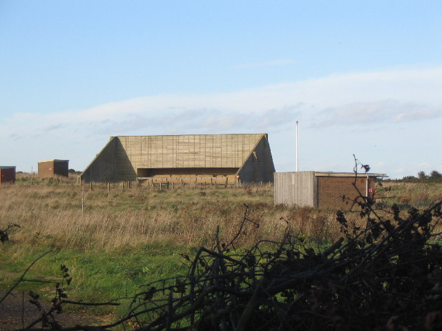
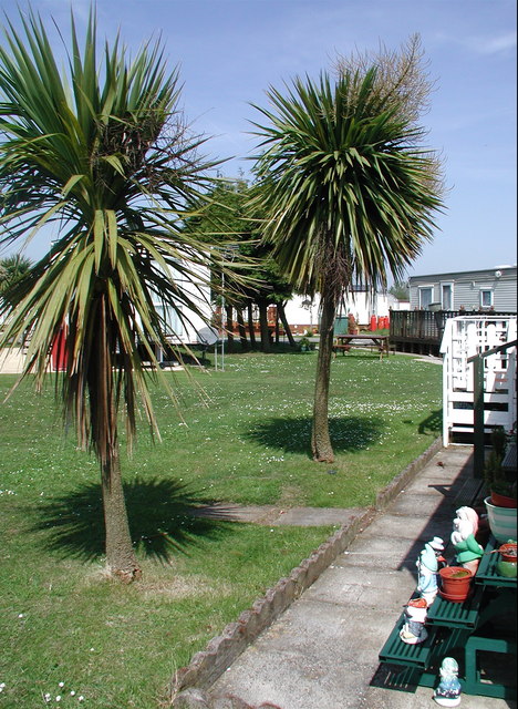
Acredike Lands Images

Images are sourced within 2km of 53.883228/-0.1463873 or Grid Reference TA2144. Thanks to Geograph Open Source API. All images are credited.

Mappleton, a case study in coastal management: aerial 2021 See <a href="https://www.geograph.org.uk/photo/5720153">TA2244 : Mappleton, a case study in coastal management: aerial 2018</a>.

In a line of crumbling cliffs is this section of "managed" coastline.

In 1991 two rock groynes and a rock revetment made from big blocks of Scandinavian rock were built, resulting in the accumulation of a substantial beach between the groynes, halting erosion.

Cliffs to the north are stable but further south the rate of erosion has increased because material which is being carried south is not being replaced (it is trapped within the groynes).
Mappleton, a case study in coastal management: aerial 2021
See TA2244 : Mappleton, a case study in coastal management: aerial 2018. In a line of crumbling cliffs is this section of "managed" coastline. In 1991 two rock groynes and a rock revetment made from big blocks of Scandinavian rock were built, resulting in the accumulation of a substantial beach between the groynes, halting erosion. Cliffs to the north are stable but further south the rate of erosion has increased because material which is being carried south is not being replaced (it is trapped within the groynes).
Field  edge  track  and  bridleway  toward  Hatfield  Wood
Field edge track and bridleway toward Hatfield Wood
Track  from  Wood  Farm  through  Hatfield  Wood
Track from Wood Farm through Hatfield Wood
An  empty  Slurry  Pit  at  Wood  Farm
An empty Slurry Pit at Wood Farm
Over  ploughed  field  toward  Mappleton Mappleton church spire and windmill can be just seen left of centre. From Wood Farm access track/ bridleway
Over ploughed field toward Mappleton
Mappleton church spire and windmill can be just seen left of centre. From Wood Farm access track/ bridleway
Mappleton Beach Mappleton Beach from Mappleton car park
Mappleton Beach
Mappleton Beach from Mappleton car park
Cliffs seen from the car park, Mappleton
Mappleton seen from the car park
Field seen from the car park, Mappleton
Cliff Lane seen from the car park, Mappleton
Road to beach, Mappleton
"Danger" sign, Mappleton Sands "DANGER
Unexploded ordnance on this beach
it may explode and kill you"
"Danger" sign, Mappleton Sands
"DANGER Unexploded ordnance on this beach it may explode and kill you"
Mappleton Sands
Mappleton Sands
Groyne, Mappleton Sands
Mappleton Sands
Mappleton Sands
Mappleton Sands
Mappleton Sands
Post box, Cliff Lane, Mappleton This post box can be seen in context in <a href="https://www.geograph.org.uk/photo/7109219">TA2243 : Cliff Lane, Mappleton</a>.
Post box, Cliff Lane, Mappleton
This post box can be seen in context in TA2243 : Cliff Lane, Mappleton.
Cliff Lane, Mappleton A close-up of the post box can be seen in <a href="https://www.geograph.org.uk/photo/7109215">TA2243 : Post box, Cliff Lane, Mappleton</a>.
Cliff Lane, Mappleton
A close-up of the post box can be seen in TA2243 : Post box, Cliff Lane, Mappleton.
Show me another place!

Acredike Lands is located at Grid Ref: TA2144 (Lat: 53.883228, Lng: -0.1463873)

Division: East Riding

Unitary Authority: East Riding of Yorkshire

Police Authority: Humberside

What 3 Words

///tent.sheds.birds. Near Mappleton, East Yorkshire

Related Wikis

Mappleton

Mappleton is a village and civil parish in the East Riding of Yorkshire, England. It is situated on the North Sea coastline in an area known as Holderness...

Rolston

Rolston is a hamlet in the East Riding of Yorkshire, England, in an area known as Holderness. It is situated approximately 2 miles (3.2 km) south of Hornsea...

Great Cowden

Great Cowden is a hamlet in the East Riding of Yorkshire, England, in an area known as Holderness. It is situated approximately 3 miles (5 km) south of...

Hornsea Bridge railway station

Hornsea Bridge railway station was a railway station which served the town of Hornsea in the East Riding of Yorkshire, England. It was on the Hull and...

Nearby Amenities

Located within 500m of 53.883228,-0.1463873
Source: PGS
Lat/Long: 53.8851914/-0.1410461
Material: wood
Power: pole
Lat/Long: 53.8874728/-0.1488016
Material: wood
Power: pole
Lat/Long: 53.8868574/-0.148293
Line Management: branch
Material: wood
Power: pole
Lat/Long: 53.8862406/-0.1478244
Material: wood
Power: pole
Lat/Long: 53.8856218/-0.1473018
Material: wood
Power: pole
Lat/Long: 53.8849336/-0.147159
Material: wood
Power: pole
Lat/Long: 53.8842306/-0.1470297
Material: wood
Power: pole
Lat/Long: 53.8835336/-0.146884
Material: wood
Power: pole
Lat/Long: 53.8828389/-0.1467717
Material: wood
Power: pole
Lat/Long: 53.882015/-0.1464355
Material: wood
Power: pole
Lat/Long: 53.8811945/-0.1461172
Material: wood
Power: pole
Lat/Long: 53.8804673/-0.1453659
Material: wood
Power: pole
Lat/Long: 53.879754/-0.1446205
Line Management: termination
Material: wood
Power: pole
Lat/Long: 53.8864817/-0.1469406
Material: wood
Power: pole
Lat/Long: 53.8790393/-0.1438813
The data included in this document is from www.openstreetmap.org. The data is made available under ODbL.

Have you been to Acredike Lands?

Leave your review of Acredike Lands below (or comments, questions and feedback).