Broadmare Common

Downs, Moorland in Sussex Horsham

England

Broadmare Common

View SSW across the Adur flood plain You can see the South Downs in the distance.
View SSW across the Adur flood plain Credit: Ian Cunliffe

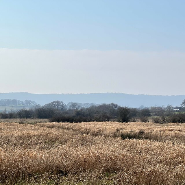
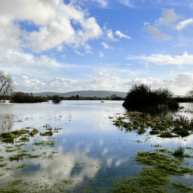
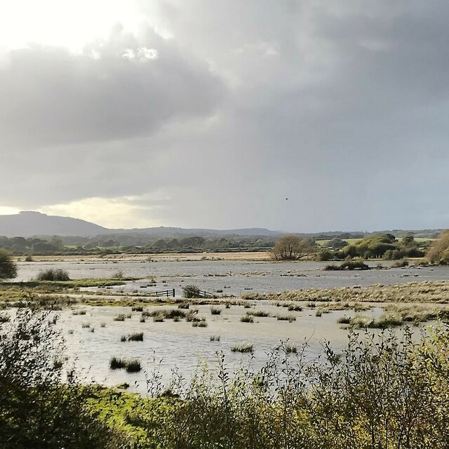
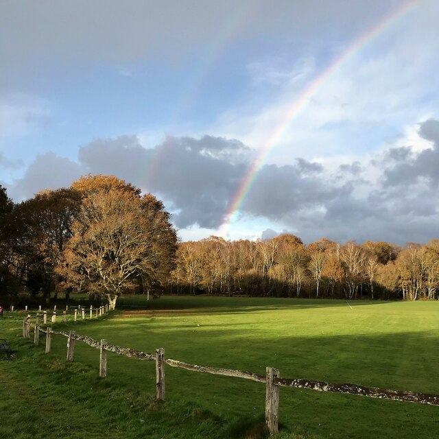
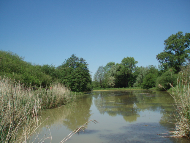
Broadmare Common is a captivating expanse of land nestled within the enchanting region of Sussex Downs in the county of Sussex, England. This stunning area spans across acres of breathtaking moorland, offering visitors a chance to immerse themselves in the beauty of nature.

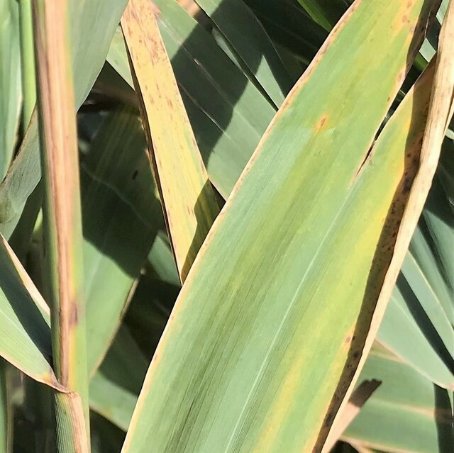
The common is characterized by its rolling hills, heather-covered landscapes, and expansive views that stretch as far as the eye can see. The moorland is home to a diverse range of flora and fauna, making it a haven for nature enthusiasts and wildlife lovers. Visitors can spot an array of bird species, including skylarks, stonechats, and wheatears, as well as rare butterflies such as the Adonis blue and silver-studded blue.

The area's rich history is evident, with traces of ancient settlements and burial mounds scattered throughout the common. These remnants serve as a reminder of the human presence in this land dating back thousands of years.

Broadmare Common offers a variety of recreational activities for visitors to enjoy. Hiking and walking trails crisscross the land, providing an opportunity to explore the vast expanse and take in the stunning views. The common is also a popular spot for picnics, as well as horse riding and cycling.

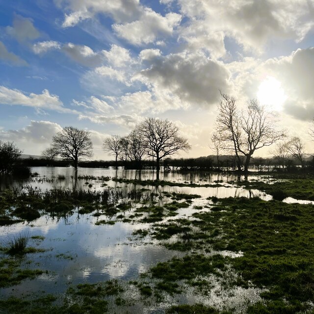
Throughout the year, the common transforms with the changing seasons, displaying a kaleidoscope of colors. In spring, vibrant wildflowers carpet the landscape, while autumn brings a tapestry of reds, oranges, and yellows as the heather and foliage change. Whatever the season, Broadmare Common offers an idyllic escape from the hustle and bustle of everyday life, inviting visitors to connect with nature and indulge in its serene beauty.

If you have any feedback on the listing, please let us know in the comments section below.

Broadmare Common Images

Images are sourced within 2km of 50.922345/-0.27122519 or Grid Reference TQ2115. Thanks to Geograph Open Source API. All images are credited.

View SSW across the Adur flood plain You can see the South Downs in the distance.
View SSW across the Adur flood plain
You can see the South Downs in the distance.
Charred tree trunk - SW of Rye Farm I'm guessing this was felled by lightning.
Charred tree trunk - SW of Rye Farm
I'm guessing this was felled by lightning.
Reflection in a puddle in a grassy field
Acorns by the footpath
View south near the footpath to Rye Farm It wasn't possible to follow the footpath any further than this on account of the flooding.
View south near the footpath to Rye Farm
It wasn't possible to follow the footpath any further than this on account of the flooding.
View SSE towards Truleigh Hill It wasn't possible to follow the Rye Farm footpath any further on account of the flooding.
View SSE towards Truleigh Hill
It wasn't possible to follow the Rye Farm footpath any further on account of the flooding.
Rose hips by the disused railway track
Leaves by the footpath
Grapes on the Lydds There is a small vineyard here with enough grapes (in a good year) to make quite a few bottles of wine.
Grapes on the Lydds
There is a small vineyard here with enough grapes (in a good year) to make quite a few bottles of wine.
View WSW over the Adur floodplain It has rained a fair bit recently, but this flooding is normal here in autumn and winter. Chanctonbury Ring can be seen in the distance on the left.
View WSW over the Adur floodplain
It has rained a fair bit recently, but this flooding is normal here in autumn and winter. Chanctonbury Ring can be seen in the distance on the left.
Teasel - Dipsacus fullonum
Grass leaves and stems near Little Barn I think this is Reed sweet-grass (Glyceria maxima). The land hereabouts is subject to periodic flooding.
Grass leaves and stems near Little Barn
I think this is Reed sweet-grass (Glyceria maxima). The land hereabouts is subject to periodic flooding.
Autumn leaves on Nep Town Road
Rainbow over Henfield cricket field
Antique shop interior - Henfield High Street
Houses on Hewitts and Nep Town Road
Pylon ENE of Swains Farm
Sussex Fine Food - on the High Street
Show me another place!

Broadmare Common is located at Grid Ref: TQ2115 (Lat: 50.922345, Lng: -0.27122519)

Administrative County: West Sussex

District: Horsham

Police Authority: Sussex

What 3 Words

///laminated.trousers.voices. Near Henfield, West Sussex

Related Wikis

St Peter's Church, Henfield

St Peter's Church is a Church of England parish church in the large village of Henfield, West Sussex. Placed on the site of an 8th-century Saxon church...

Henfield

Henfield is a large village and civil parish in the Horsham District of West Sussex, England. It lies 41 miles (66 km) south of London, 12 miles (19 km...

Woods Mill

Woods Mill is a 19-hectare (47-acre) nature reserve south of Henfield in West Sussex. It is managed by the Sussex Wildlife Trust. This is the headquarters...

Henfield railway station

Henfield was a railway station on the Steyning Line which served the village of Henfield. It was equipped with a siding which received coal to serve the...

Nearby Amenities

Located within 500m of 50.922345,-0.27122519
Broadmere Common
Lat/Long: 50.9226978/-0.2710475
Power: pole
Lat/Long: 50.9239584/-0.2748736
Power: pole
Lat/Long: 50.9245025/-0.2747025
Power: pole
Lat/Long: 50.9253354/-0.2743073
Power: pole
Lat/Long: 50.92618/-0.2739416
Power: pole
Lat/Long: 50.9234585/-0.275115
Power: pole
Lat/Long: 50.9226242/-0.2754866
Power: pole
Lat/Long: 50.9217771/-0.2758545
Power: pole
Lat/Long: 50.9210162/-0.2762084
Power: pole
Lat/Long: 50.9202322/-0.2765822
Power: pole
Lat/Long: 50.9245218/-0.276156
Turning Loop
Lat/Long: 50.9192116/-0.2707335
The data included in this document is from www.openstreetmap.org. The data is made available under ODbL.

Have you been to Broadmare Common?

Leave your review of Broadmare Common below (or comments, questions and feedback).