South End Field

Downs, Moorland in Yorkshire

England

South End Field

Field, West Carlton
Field, West Carlton Credit: Steven Brown

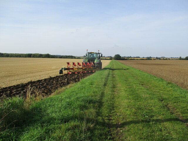
South End Field is a picturesque area located in Yorkshire, known for its stunning views of the Downs and Moorland. The landscape is characterized by rolling hills, vast open fields, and a variety of plant and animal species that thrive in this unique ecosystem.

The field is a popular destination for hikers and nature enthusiasts, who come to explore the winding paths that lead through the countryside. Visitors can take in the sweeping vistas of the surrounding countryside, dotted with sheep grazing peacefully on the grassy slopes.

The area is also home to a variety of wildlife, including birds of prey, rabbits, and foxes. Birdwatchers can spot a variety of species soaring through the sky or perched on the branches of trees that line the field.

South End Field is a peaceful and tranquil retreat from the hustle and bustle of city life, offering visitors a chance to connect with nature and enjoy the beauty of the Yorkshire countryside. With its sweeping views and diverse wildlife, South End Field is a must-visit destination for anyone looking to experience the natural beauty of Yorkshire.

If you have any feedback on the listing, please let us know in the comments section below.

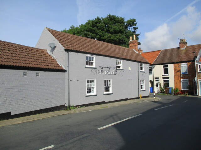
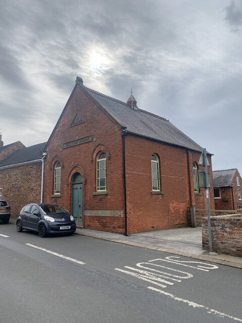
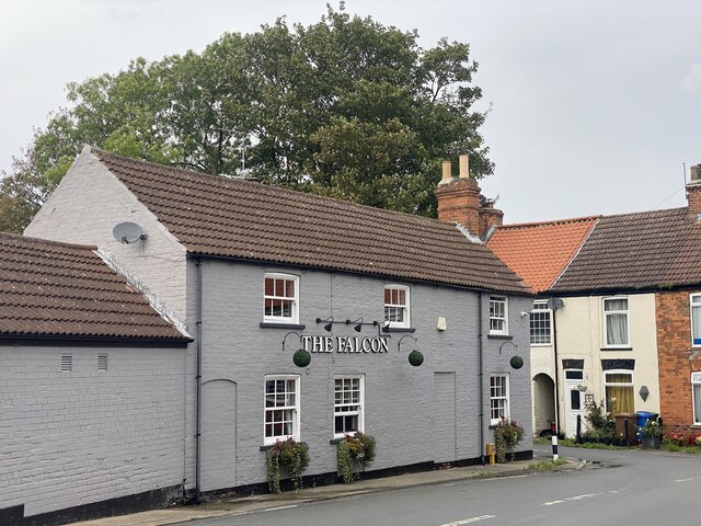
South End Field Images

Images are sourced within 2km of 53.84365/-0.17464622 or Grid Reference TA2040. Thanks to Geograph Open Source API. All images are credited.
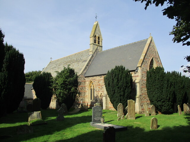
Field, West Carlton
Field, West Carlton
Lambwath Meadows
Lambwath Meadows
Starting  to  plough  a  stubble  field  alongside  Straits  Road The grass track is called Straits Road but is only a track to fields and a footpath
Starting to plough a stubble field alongside Straits Road
The grass track is called Straits Road but is only a track to fields and a footpath
Gate  into  St  Alban's  churchyard  Withernwick From West Lambwath Road
Gate into St Alban's churchyard Withernwick
From West Lambwath Road
St  Alban's  Parish  Church  Withernwick Rebuilt in 1855 by Mallinson & Healey incorporating old materials from a previous church
St Alban's Parish Church Withernwick
Rebuilt in 1855 by Mallinson & Healey incorporating old materials from a previous church
Wesleyan  Church  built  1810  rebuilt  1914  Main  street
Wesleyan Church built 1810 rebuilt 1914 Main street
The  Falcon  public  house  Withernwick
The Falcon public house Withernwick
Cowden  Lane  leaving  Withernwick On the left the access road to Whitefields Farm
Cowden Lane leaving Withernwick
On the left the access road to Whitefields Farm
Cowden  Lane  back  toward  Withernwick
Cowden Lane back toward Withernwick
Wesleyan Church, Withernwick
The Falcon, Withernwick
Withernwick Hall The Hall is north of Withernwick village which is in the adjacent square south.
Withernwick Hall
The Hall is north of Withernwick village which is in the adjacent square south.
St. Albans, Withernwick Withernwick sits in just about the centre of the grid square. This area is farmland.
St. Albans, Withernwick
Withernwick sits in just about the centre of the grid square. This area is farmland.
Main Street, Withernwick Looking north-northwest towards the junction of Main Street and High Street with The Falcon pub on the left, which has traded under this name since 1892. The name Withernwick is thought to be an Anglo-Scandinavian hybrid meaning 'dairy farm near a thorn tree'.
Main Street, Withernwick
Looking north-northwest towards the junction of Main Street and High Street with The Falcon pub on the left, which has traded under this name since 1892. The name Withernwick is thought to be an Anglo-Scandinavian hybrid meaning 'dairy farm near a thorn tree'.
South End, Withernwick Looking east-southeast across Beck Bridge towards The Manor House. The Manor House at South End was built (or rebuilt) in around 1840, possibly on the site of a previous house called Hall Garth which was recorded in 1576. The name Withernwick is thought to be an Anglo-Scandinavian hybrid meaning 'dairy farm near a thorn tree'.
South End, Withernwick
Looking east-southeast across Beck Bridge towards The Manor House. The Manor House at South End was built (or rebuilt) in around 1840, possibly on the site of a previous house called Hall Garth which was recorded in 1576. The name Withernwick is thought to be an Anglo-Scandinavian hybrid meaning 'dairy farm near a thorn tree'.
St Albans, Withernwick There was a church at Withernwick by 1115 and it was recorded as being dedicated to St. Alban in the early 16th century. The present church was largely rebuilt in around 1854 to designs by architects Mallinson and Healey, apparently in an attempt to recreate a 14th century style building from the hotchpotch of patched brickwork and windows which were said to be 'more fitted for shops than a church'. [Information from Victoria County History] <span class="nowrap"><a title="http://www.british-history.ac.uk/report.asp?compid=16162&strquery=withernwick" rel="nofollow ugc noopener" href="http://www.british-history.ac.uk/report.asp?compid=16162&strquery=withernwick">Link</a><img style="margin-left:2px;" alt="External link" title="External link - shift click to open in new window" src="https://s1.geograph.org.uk/img/external.png" width="10" height="10"/></span>
St Albans, Withernwick
There was a church at Withernwick by 1115 and it was recorded as being dedicated to St. Alban in the early 16th century. The present church was largely rebuilt in around 1854 to designs by architects Mallinson and Healey, apparently in an attempt to recreate a 14th century style building from the hotchpotch of patched brickwork and windows which were said to be 'more fitted for shops than a church'. [Information from Victoria County History] LinkExternal link
North End Field, Withernwick Pasture off the north side of Beverley Road near Longdyke Farm, Withernwick. The fenced clump of trees in the middle of the picture is a small pond shown on the O/S 1:25000 scale map. The fields have a pattern of ridge and furrow caused by feudal farming methods used prior to inclosure. Inclosure at Withernwick was a lengthy process which began with an Act of 1801–2 and was finalized in 1814.
North End Field, Withernwick
Pasture off the north side of Beverley Road near Longdyke Farm, Withernwick. The fenced clump of trees in the middle of the picture is a small pond shown on the O/S 1:25000 scale map. The fields have a pattern of ridge and furrow caused by feudal farming methods used prior to inclosure. Inclosure at Withernwick was a lengthy process which began with an Act of 1801–2 and was finalized in 1814.
Show me another place!

South End Field is located at Grid Ref: TA2040 (Lat: 53.84365, Lng: -0.17464622)

Division: East Riding

Unitary Authority: East Riding of Yorkshire

Police Authority: Humberside

What 3 Words

///ranch.withdraws.magical. Near Burton Constable, East Yorkshire

Related Wikis

Holderness

Holderness is an area of the East Riding of Yorkshire, on the north-east coast of England. An area of rich agricultural land, Holderness was marshland...

Withernwick

Withernwick is a village and civil parish in the East Riding of Yorkshire, England. It is situated approximately 10 miles (16 km) north-east of Hull city...

Holderness Wapentake

Holderness was a wapentake of the historic East Riding of Yorkshire, England consisting of the south-easterly part of the county. Established in medieval...

West Newton, East Riding of Yorkshire

West Newton is a hamlet in the East Riding of Yorkshire, England. It is situated approximately 9 miles (14 km) north-east of Hull city centre and 6 miles...

Nearby Amenities

Located within 500m of 53.84365,-0.17464622
The data included in this document is from www.openstreetmap.org. The data is made available under ODbL.

Have you been to South End Field?

Leave your review of South End Field below (or comments, questions and feedback).