Heckington Fen
Downs, Moorland in Lincolnshire North Kesteven
England
Heckington Fen
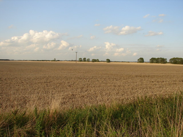
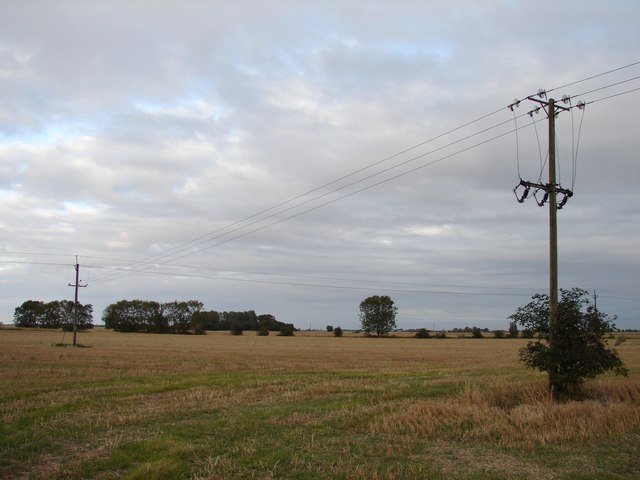
Heckington Fen is a vast and diverse natural landscape situated in Lincolnshire, England. Spanning an area of approximately 1,600 hectares, it is characterized by its unique combination of downs and moorland.
The fen is predominantly composed of low-lying wetlands, with a rich variety of marshes, reed beds, and peat bogs. These wetland habitats provide a haven for a multitude of plant and animal species, making it a significant area for biodiversity conservation. Rare species such as the marsh harrier and the fen violet can be found here, alongside a plethora of other wetland birds, insects, and plants.
The fen also boasts areas of dry heathland and rolling downland, adding to its ecological diversity. These upland areas are characterized by their heather and gorse vegetation, and provide a stark contrast to the fen's wetland habitats. The varied topography of the landscape creates a visually captivating environment, attracting nature enthusiasts and photographers alike.
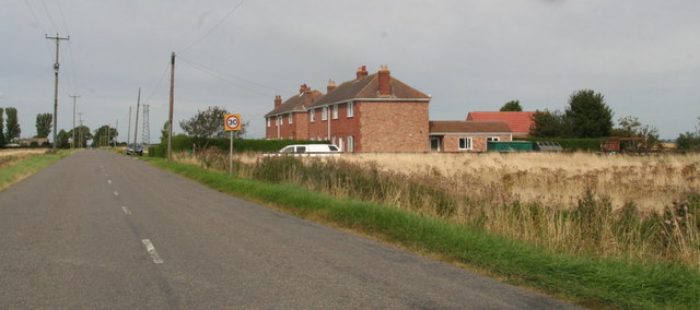
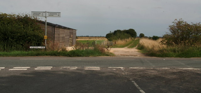
Heckington Fen is managed and protected by various conservation organizations, ensuring the preservation of its unique ecosystems. Visitors to the fen can explore its extensive network of footpaths and nature trails, allowing for a closer encounter with its natural wonders. The fen also offers opportunities for birdwatching, wildlife spotting, and tranquil walks amidst its serene surroundings.
With its diverse range of habitats and exceptional natural beauty, Heckington Fen is a true gem within the Lincolnshire countryside. It serves as a vital ecological resource, attracting both local and international interest in its unique biodiversity and providing a sanctuary for a wide array of plant and animal species.
If you have any feedback on the listing, please let us know in the comments section below.
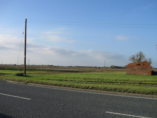
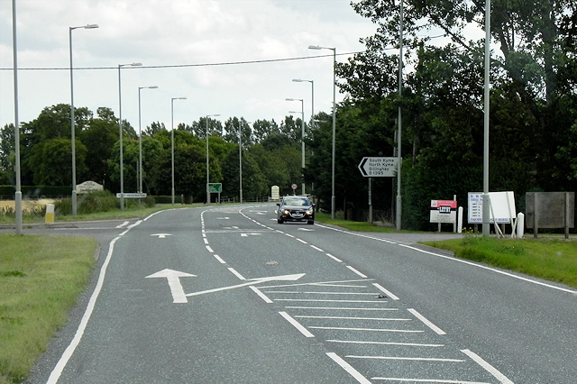
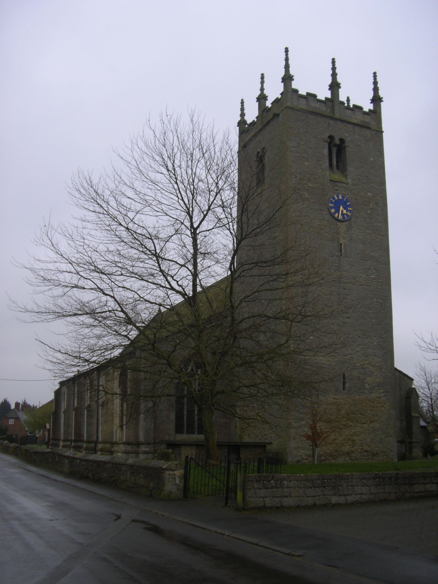
Heckington Fen Images
Images are sourced within 2km of 52.991708/-0.22925021 or Grid Reference TF1845. Thanks to Geograph Open Source API. All images are credited.


Heckington Fen is located at Grid Ref: TF1845 (Lat: 52.991708, Lng: -0.22925021)
Administrative County: Lincolnshire
District: North Kesteven
Police Authority: Lincolnshire
What 3 Words
///segments.mash.removable. Near Heckington, Lincolnshire
Nearby Locations
Related Wikis

Car Dyke
The Car Dyke was, and to a large extent still is, a long ditch which runs along the western edge of the Fens in eastern England for a distance of over...

Swineshead railway station
Swineshead railway station serves the village of Swineshead in Lincolnshire, England. Although named Swineshead, the station is, in reality, located in...
Great Hale
Great Hale is a village and civil parish in the North Kesteven district of Lincolnshire, England. The population of the civil parish at the 2011 census...
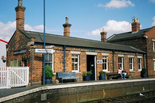
Heckington railway station
Heckington railway station is located in the village of Heckington in Lincolnshire, England. The old station building houses the Heckington Station Railway...
Nearby Amenities
Located within 500m of 52.991708,-0.22925021Have you been to Heckington Fen?
Leave your review of Heckington Fen below (or comments, questions and feedback).