West Field
Downs, Moorland in Yorkshire
England
West Field
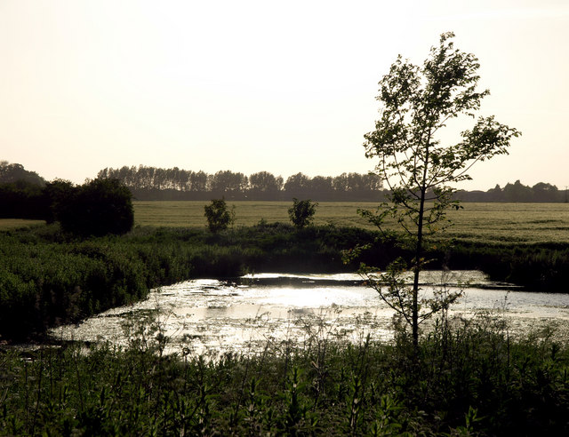
West Field is a picturesque and expansive region located in Yorkshire, England, characterized by its stunning combination of downs and moorland. Situated in the heart of the county, this area covers a vast expanse of rolling hills, green pastures, and wild heathland, making it a haven for nature enthusiasts and outdoor adventurers alike.
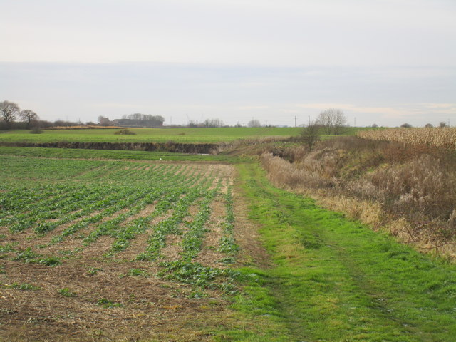
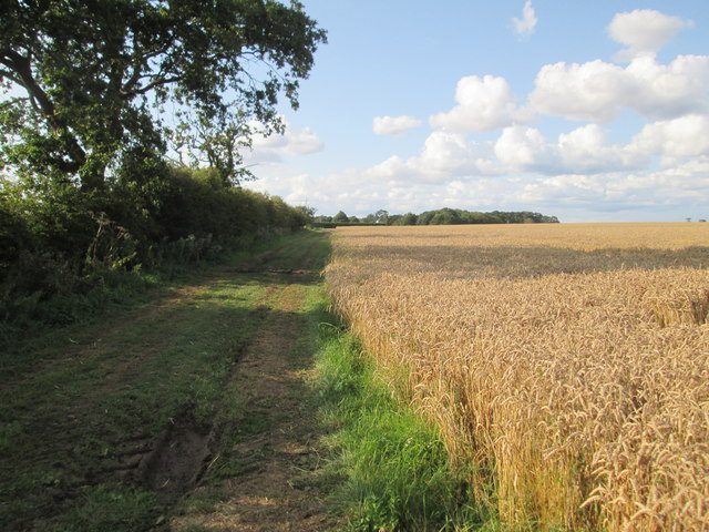
The downs of West Field offer breathtaking panoramic views, with their gently sloping hills covered in lush grasses and interspersed with occasional groves of trees. These open spaces provide ample opportunities for leisurely walks, picnics, and kite flying, attracting visitors from near and far.
In contrast, the moorland of West Field offers a more rugged and untamed landscape. Here, visitors can explore vast stretches of heather-covered hillsides, dotted with rocky outcrops and streams. The moorland is known for its unique flora and fauna, including rare bird species and vibrant wildflowers, making it an ideal location for birdwatching and nature photography.
West Field is also home to numerous walking trails and hiking routes, catering to all levels of fitness and experience. Whether one seeks a gentle stroll through the downs or a challenging hike across the moorland, there is something to suit every taste.
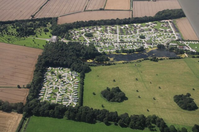
Additionally, West Field boasts several charming villages and towns, where visitors can enjoy local hospitality, sample traditional Yorkshire cuisine, and browse quaint shops selling handmade crafts and local produce.
Overall, West Field, with its captivating blend of downs and moorland, offers a captivating and invigorating experience for nature lovers and those seeking a peaceful retreat in the heart of Yorkshire.
If you have any feedback on the listing, please let us know in the comments section below.
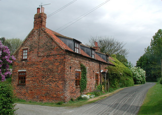
West Field Images
Images are sourced within 2km of 53.79116/-0.19774014 or Grid Reference TA1834. Thanks to Geograph Open Source API. All images are credited.


West Field is located at Grid Ref: TA1834 (Lat: 53.79116, Lng: -0.19774014)
Division: East Riding
Unitary Authority: East Riding of Yorkshire
Police Authority: Humberside
What 3 Words
///conjured.manifests.stretch. Near Sproatley, East Yorkshire
Nearby Locations
Related Wikis
Sproatley
Sproatley is a village and civil parish in the East Riding of Yorkshire, England. It is situated approximately 7 miles (11 km) north-east of Hull city...

Thirtleby
Thirtleby is a hamlet in the civil parish of Coniston, in the East Riding of Yorkshire, England. It is situated approximately 6 miles (9.7 km) north-east...

Wyton, East Riding of Yorkshire
Wyton is a hamlet in the civil parish of Bilton, in the East Riding of Yorkshire, It is situated approximately 6 miles (9.7 km) east of Kingston upon Hull...

Holderness (borough)
Holderness was a local government district and borough in northern England, named after the Holderness peninsula. It was formed on 1 April 1974 along with...
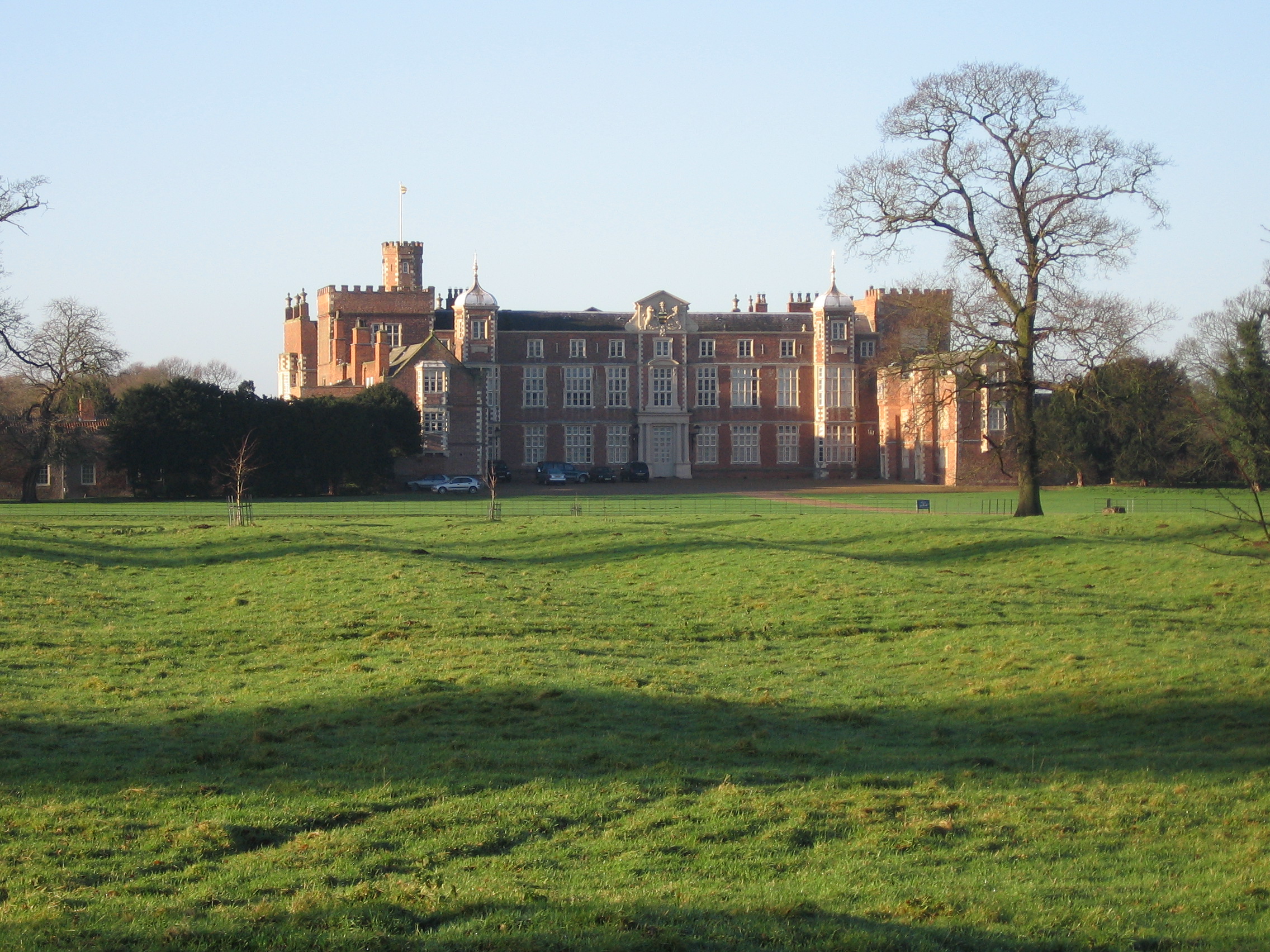
Burton Constable Hall
Burton Constable Hall is a large Elizabethan country house in England, with 18th- and 19th-century interiors and a fine 18th-century cabinet of curiosities...

Burton Constable
Burton Constable is a village and civil parish in the East Riding of Yorkshire, England. It is located approximately 9 miles (14 km) north-east of Hull...

Lelley
Lelley is a small village in the civil parish of Elstronwick, in the East Riding of Yorkshire, England, in an area known as Holderness. It is situated...

Beverley and Holderness (UK Parliament constituency)
Beverley and Holderness is a county constituency in the East Riding of Yorkshire for the House of Commons of the Parliament of the United Kingdom. It elects...
Nearby Amenities
Located within 500m of 53.79116,-0.19774014Have you been to West Field?
Leave your review of West Field below (or comments, questions and feedback).