Great Hale Fen
Downs, Moorland in Lincolnshire North Kesteven
England
Great Hale Fen
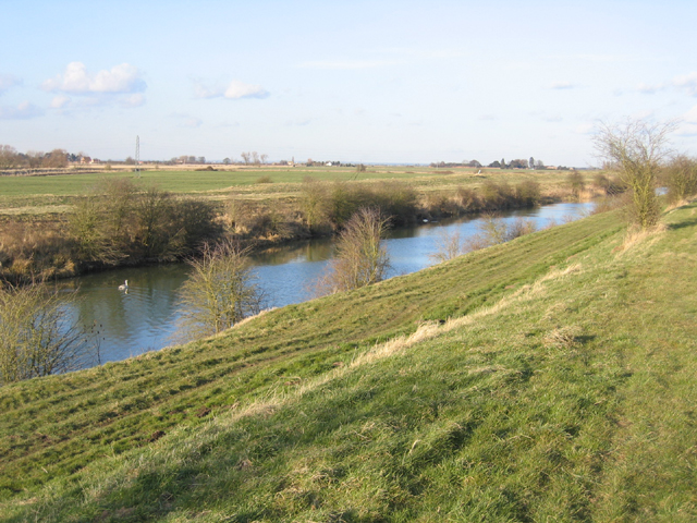
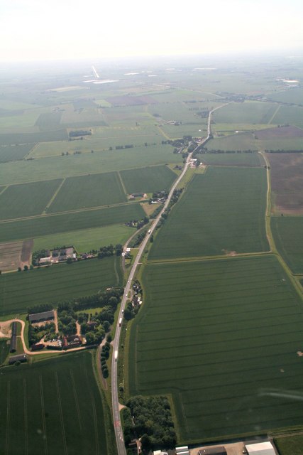
Great Hale Fen is a nature reserve located in Lincolnshire, England. Covering an area of approximately 100 hectares, it is a diverse and unique ecosystem that consists of downs and moorland. The fen is situated in the district of North Kesteven, near the village of Great Hale.
The fen is characterized by its wet and marshy conditions, making it an ideal habitat for various flora and fauna. It supports a range of plant species, including reeds, sedges, and grasses. These plants provide shelter and food for a variety of bird species, such as marsh harriers, lapwings, and bitterns. In addition, the fen is home to insects, amphibians, and small mammals, further enriching its biodiversity.
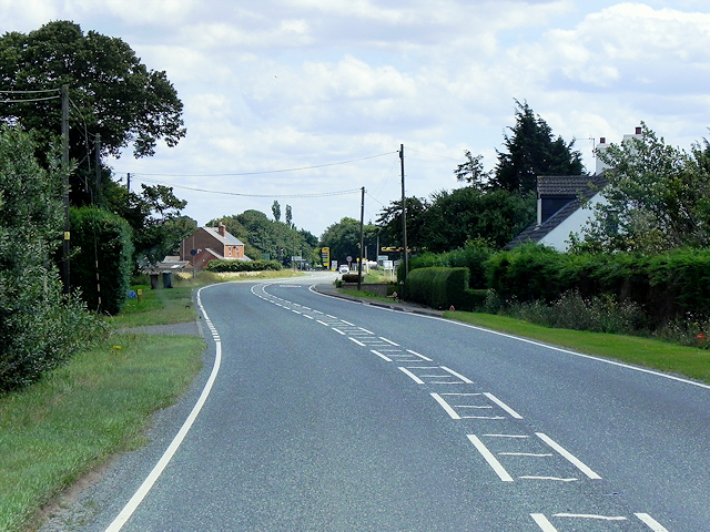
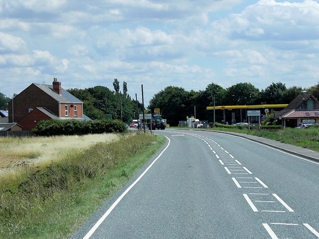
Great Hale Fen is also known for its beautiful landscape, with rolling hills and open expanses. Visitors can enjoy walking trails that wind through the fen, offering breathtaking views of the surrounding countryside. The reserve is a popular destination for nature enthusiasts and birdwatchers, providing ample opportunities for wildlife observation and photography.
Managed by a local conservation organization, Great Hale Fen is committed to preserving its natural habitat and promoting environmental education. The reserve plays an important role in maintaining the ecological balance of the region and serves as a valuable resource for research and conservation efforts.
Overall, Great Hale Fen is a remarkable fenland area in Lincolnshire, offering visitors a chance to experience the beauty and diversity of the English countryside.
If you have any feedback on the listing, please let us know in the comments section below.
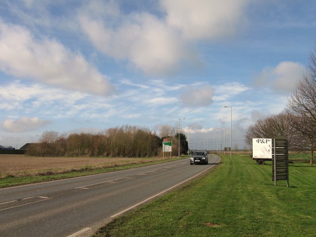
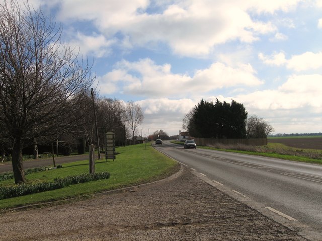
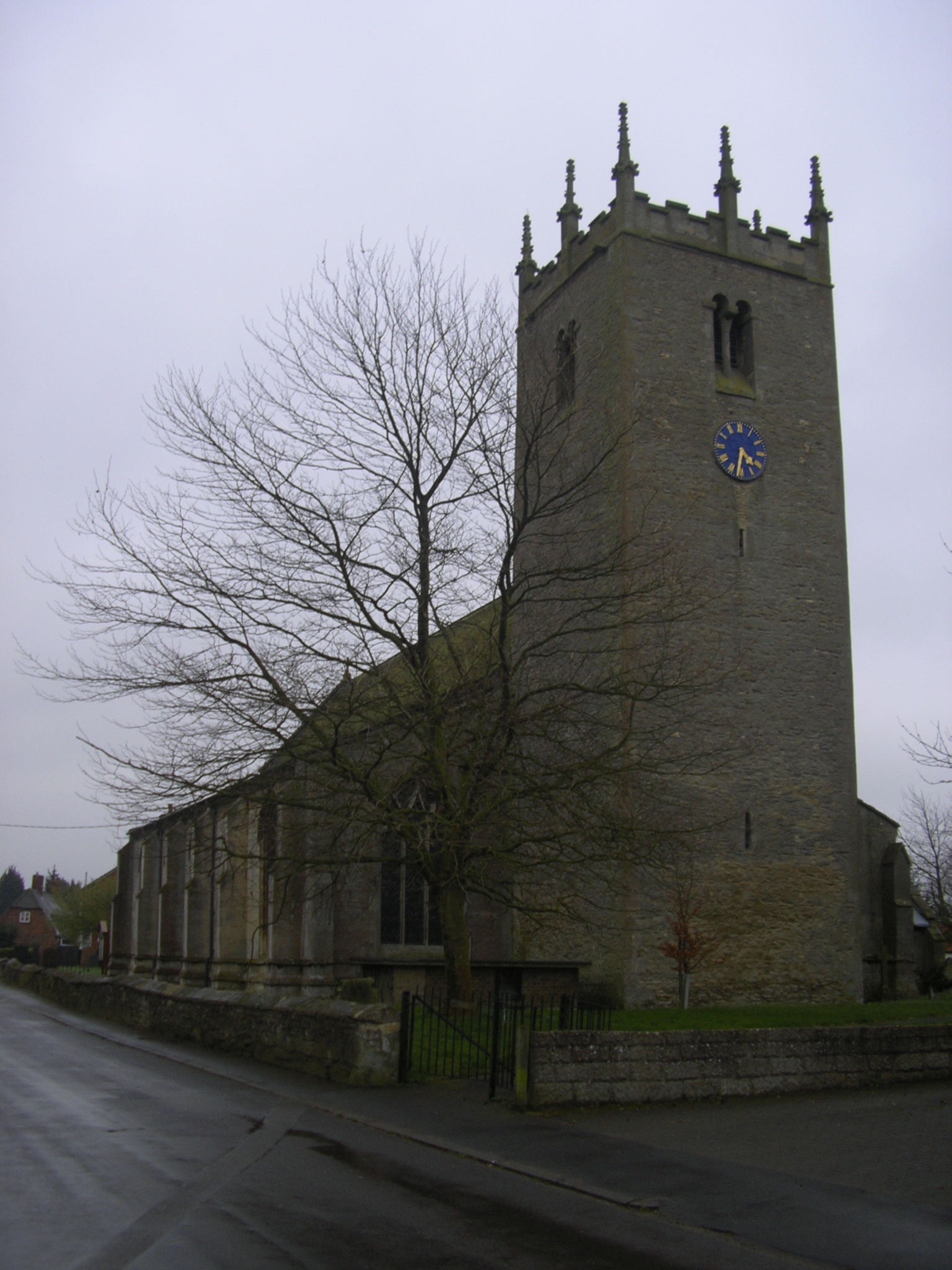
Great Hale Fen Images
Images are sourced within 2km of 52.968759/-0.23800639 or Grid Reference TF1842. Thanks to Geograph Open Source API. All images are credited.


Great Hale Fen is located at Grid Ref: TF1842 (Lat: 52.968759, Lng: -0.23800639)
Administrative County: Lincolnshire
District: North Kesteven
Police Authority: Lincolnshire
What 3 Words
///degrading.cookies.impose. Near Heckington, Lincolnshire
Nearby Locations
Related Wikis
Great Hale
Great Hale is a village and civil parish in the North Kesteven district of Lincolnshire, England. The population of the civil parish at the 2011 census...

Swineshead railway station
Swineshead railway station serves the village of Swineshead in Lincolnshire, England. Although named Swineshead, the station is, in reality, located in...
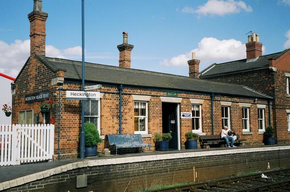
Heckington railway station
Heckington railway station is located in the village of Heckington in Lincolnshire, England. The old station building houses the Heckington Station Railway...
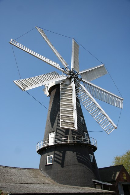
Heckington Windmill
Heckington Windmill is the only eight-sailed tower windmill still standing in the United Kingdom with its sails intact. Heckington is located between Sleaford...

Little Hale
Little Hale is a hamlet and civil parish in the North Kesteven district of Lincolnshire, England. It is situated 5 miles (8 km) south-east from the town...

Heckington Methodist Church
Heckington Methodist Church is in Heckington, Lincolnshire, England. == History == The first Wesleyan Methodist chapel in the village was built in 1809...

Heckington
Heckington is a village and civil parish in the North Kesteven district of Lincolnshire, England. It is situated between Sleaford and Swineshead Bridge...

Helpringham
Helpringham is a village and civil parish in the North Kesteven district of Lincolnshire, England. It lies on the edge of the Fens, and 5 miles (8 km)...
Nearby Amenities
Located within 500m of 52.968759,-0.23800639Have you been to Great Hale Fen?
Leave your review of Great Hale Fen below (or comments, questions and feedback).