Pinchbeck North Fen

Downs, Moorland in Lincolnshire South Holland

England

Pinchbeck North Fen

Nunnerley House Farm
Nunnerley House Farm Credit: Terry Butcher

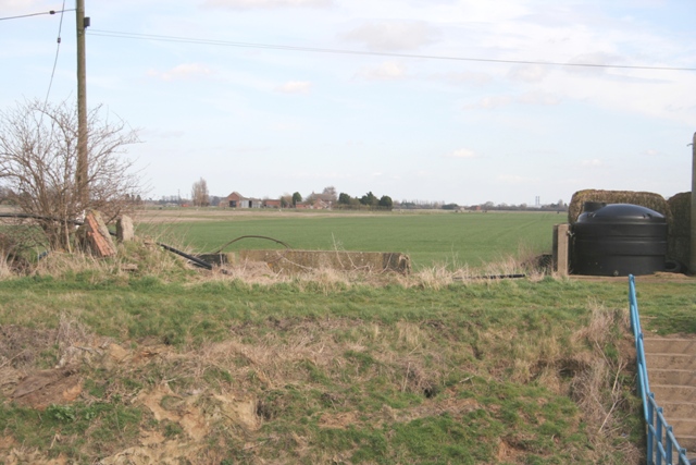
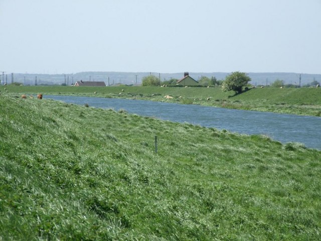
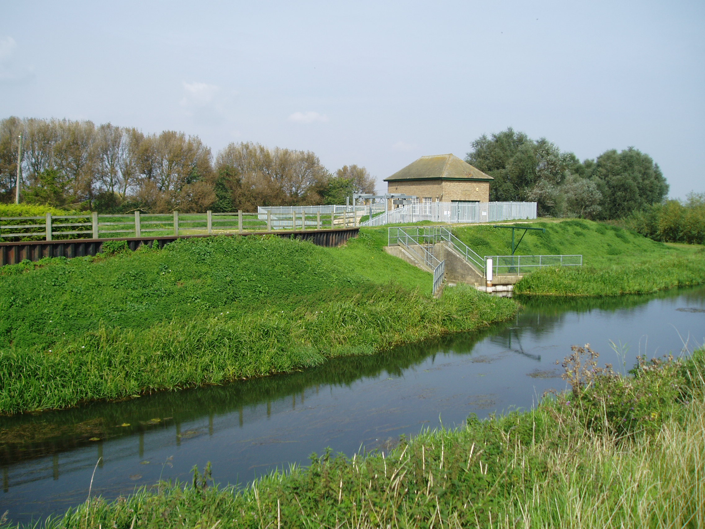
Pinchbeck North Fen is a low-lying area located in Lincolnshire, England. It is characterized by its flat and open landscape, consisting mainly of farmland and wetlands. The fen is surrounded by small villages and towns, with Pinchbeck being the nearest settlement.

The area is known for its rich agricultural history, with a long tradition of farming and livestock rearing. The fertile soils of the fen support a variety of crops, including cereals, potatoes, and vegetables. The wetlands provide a habitat for a diverse range of wildlife, including birds, insects, and amphibians.

Pinchbeck North Fen is part of the Lincolnshire Wolds Area of Outstanding Natural Beauty, showcasing the unique and diverse landscape of the region. The area is popular with walkers and nature enthusiasts, offering scenic views of the surrounding countryside.

Overall, Pinchbeck North Fen is a peaceful and picturesque area, perfect for those looking to escape the hustle and bustle of city life and immerse themselves in the beauty of the Lincolnshire Downs and Moorland.

If you have any feedback on the listing, please let us know in the comments section below.

Pinchbeck North Fen Images

Images are sourced within 2km of 52.815165/-0.24823133 or Grid Reference TF1825. Thanks to Geograph Open Source API. All images are credited.

Nunnerley House Farm
Farm at end of Morton North Drove
Pumping station at end of Haconby Drove
Outfall from pumping station on Haconby Drove
Bridleway along South Forty Foot Drain This runs for many miles along the east side of the Drain
Bridleway along South Forty Foot Drain
This runs for many miles along the east side of the Drain
House at end of Leaves Lake Drove
Field of cabbages View north from Leaves Lake Drove
Field of cabbages
View north from Leaves Lake Drove
Leaves Lake Drove, view north-east
Stop that horse! Playground next to school off Leaves Lake Drove. Sign reads "No animals on this field"
Stop that horse!
Playground next to school off Leaves Lake Drove. Sign reads "No animals on this field"
Church of St Bartholomew, Pinchbeck West Built in the mid 19th century, in response to the Pinchbeck parish becoming too large.
Church of St Bartholomew, Pinchbeck West
Built in the mid 19th century, in response to the Pinchbeck parish becoming too large.
Primitive Methodist Church, Northgate
Pumping station at the end of Star Lode Drove Water from the Star Lode Drain is pumped up and into the South Forty Drain (pipe to the left).
Pumping station at the end of Star Lode Drove
Water from the Star Lode Drain is pumped up and into the South Forty Drain (pipe to the left).
View east from the end of Star Lode Drove
West Pinchbeck Water Treatment Works
Bridge to Cowbit Farm The farmhouse of Cowbit Farm, served by this dainty bridge, is dated 1825. But the bridge is older, built in 1811 for £21.13s 0d. Half the cost was paid by the landlord (Emmanuel College Cambridge), and half by the then tenant Henry Bennett Dandy. (Thanks to Leslie Chamberlain for providing this information)
Bridge to Cowbit Farm
The farmhouse of Cowbit Farm, served by this dainty bridge, is dated 1825. But the bridge is older, built in 1811 for £21.13s 0d. Half the cost was paid by the landlord (Emmanuel College Cambridge), and half by the then tenant Henry Bennett Dandy. (Thanks to Leslie Chamberlain for providing this information)
Show me another place!

Pinchbeck North Fen is located at Grid Ref: TF1825 (Lat: 52.815165, Lng: -0.24823133)

Administrative County: Lincolnshire

District: South Holland

Police Authority: Lincolnshire

What 3 Words

///pedicure.drew.labs. Near Pinchbeck, Lincolnshire

Nearby Locations

Pinchbeck North Fen

Related Wikis

Guthram Gowt

Guthram Gowt is a small settlement in the South Holland district of Lincolnshire, England. It is situated 5 miles (8 km) both east from Bourne and west...

River Glen, Lincolnshire

The River Glen is a river in Lincolnshire, England with a short stretch passing through Rutland near Essendine. The river's name appears to derive from...

South Forty-Foot Drain

The South Forty-Foot Drain, also known as the Black Sluice Navigation, is the main channel for the land-drainage of the Black Sluice Level in the Lincolnshire...

Willow Tree Fen

Willow Tree Fen is a local nature reserve with an area of over 112.0 ha (277 acres) located near Bourne and Spalding, south of the River Glen, England...

Nearby Amenities

Located within 500m of 52.815165,-0.24823133
Pinchbeck North Fen
Place: locality
Source: Bing
Lat/Long: 52.8177954/-0.2537214
Chesterton
Place: isolated_dwelling
Source: Bing
Lat/Long: 52.8121539/-0.2520599
The data included in this document is from www.openstreetmap.org. The data is made available under ODbL.

Have you been to Pinchbeck North Fen?

Leave your review of Pinchbeck North Fen below (or comments, questions and feedback).