Helpringham Fen
Downs, Moorland in Lincolnshire North Kesteven
England
Helpringham Fen

The requested URL returned error: 429 Too Many Requests
If you have any feedback on the listing, please let us know in the comments section below.
Helpringham Fen Images
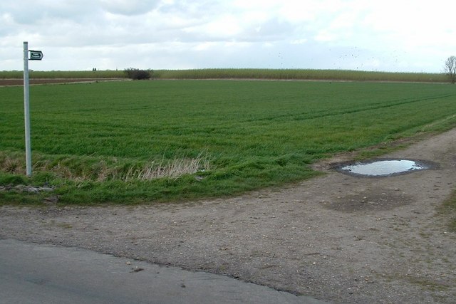
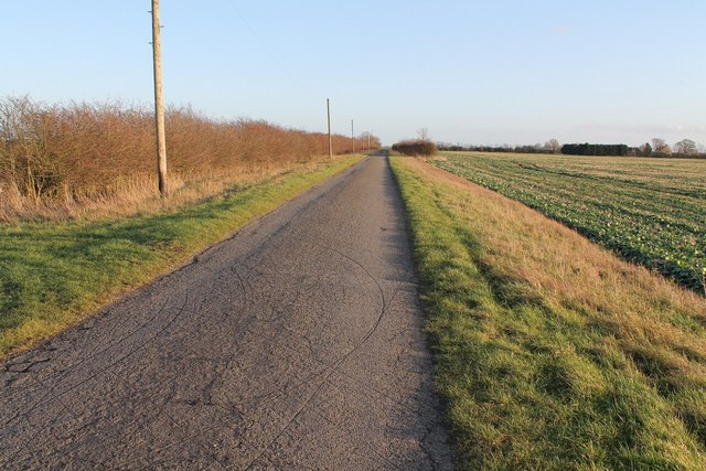
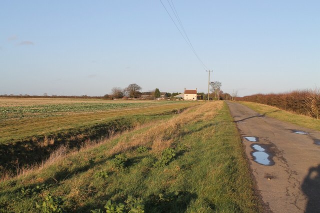
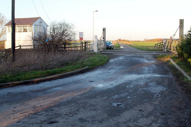
Images are sourced within 2km of 52.933995/-0.27489175 or Grid Reference TF1638. Thanks to Geograph Open Source API. All images are credited.


Helpringham Fen is located at Grid Ref: TF1638 (Lat: 52.933995, Lng: -0.27489175)
Administrative County: Lincolnshire
District: North Kesteven
Police Authority: Lincolnshire
What 3 Words
///clutches.hospitals.strongman. Near Heckington, Lincolnshire
Nearby Locations
Related Wikis

Helpringham
Helpringham is a village and civil parish in the North Kesteven district of Lincolnshire, England. It lies on the edge of the Fens, and 5 miles (8 km)...

Bridgend Priory
Bridgend Priory was a monastic house in Horbling, Lincolnshire, England. The priory was founded around 1199 by Godwin the Rich of Lincoln, a benefactor...

Swaton
Swaton is a village and civil parish in the North Kesteven district of Lincolnshire, England. It is situated on the B1394 road, less than 0.5 miles (0...

Little Hale
Little Hale is a hamlet and civil parish in the North Kesteven district of Lincolnshire, England. It is situated 5 miles (8 km) south-east from the town...
Nearby Amenities
Located within 500m of 52.933995,-0.27489175Have you been to Helpringham Fen?
Leave your review of Helpringham Fen below (or comments, questions and feedback).