Billinghay Fen
Downs, Moorland in Lincolnshire North Kesteven
England
Billinghay Fen

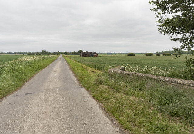
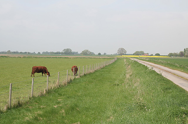
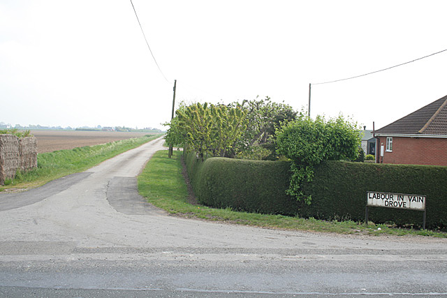
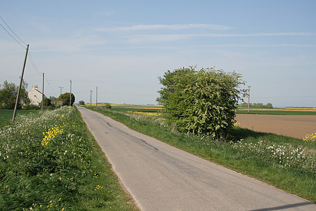
Billinghay Fen is located in the county of Lincolnshire, England. It is a diverse and expansive area that encompasses both downs and moorland landscapes. The fen is situated in the eastern part of the county, near the village of Billinghay.
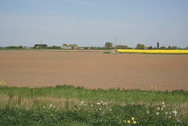
The fen is characterized by its wide open spaces and vast stretches of marshy land. It is home to a variety of plant and animal species, making it an important site for biodiversity conservation. The downs, which are hilly areas with a gentle slope, offer stunning views of the surrounding countryside.
The moorland, on the other hand, is a wet and boggy area with heather and grasses dominating the landscape. This type of habitat supports a unique range of flora and fauna, including rare species such as the marsh harrier and the adder. Visitors to Billinghay Fen can enjoy walking through the moorland, taking in the rich tapestry of colors and textures.
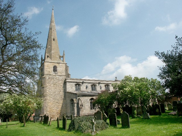
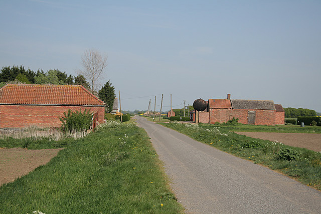
In addition to its natural beauty, Billinghay Fen has historical significance. The area has been inhabited for thousands of years, and archaeological evidence suggests that it was once a thriving settlement. Today, remnants of ancient structures and artifacts can still be found, providing valuable insights into the region's past.
Overall, Billinghay Fen offers a tranquil and picturesque setting for nature enthusiasts and history buffs alike. Its diverse landscapes, rich biodiversity, and historical significance make it a must-visit destination in Lincolnshire.
If you have any feedback on the listing, please let us know in the comments section below.
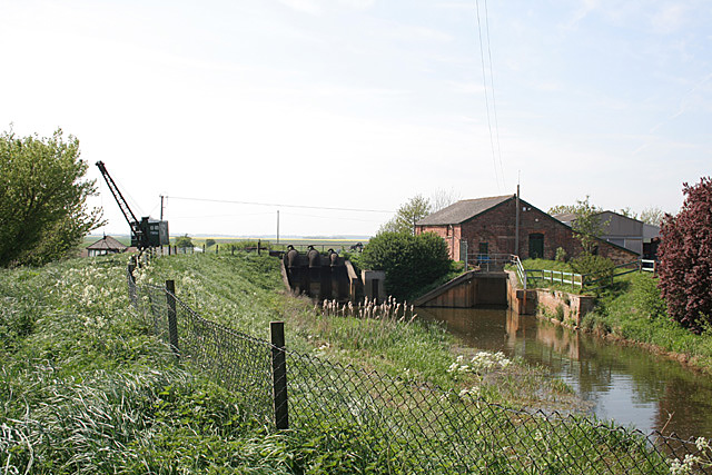
Billinghay Fen Images
Images are sourced within 2km of 53.091657/-0.26990643 or Grid Reference TF1556. Thanks to Geograph Open Source API. All images are credited.


Billinghay Fen is located at Grid Ref: TF1556 (Lat: 53.091657, Lng: -0.26990643)
Administrative County: Lincolnshire
District: North Kesteven
Police Authority: Lincolnshire
What 3 Words
///hobby.overheard.slimmer. Near Billinghay, Lincolnshire
Nearby Locations
Related Wikis

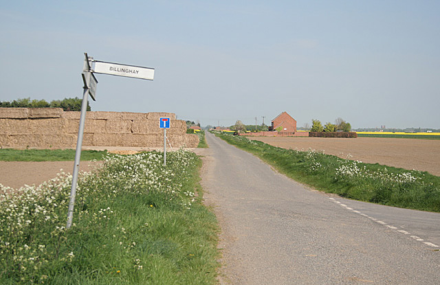
Billinghay
Billinghay is a village and civil parish in the North Kesteven district of Lincolnshire, England. The village is situated approximately 7 miles (11 km...

Walcott, Lincolnshire
Walcott is a small village and civil parish in the North Kesteven district of Lincolnshire, England. The population of the civil parish at the 2011 census...
Witham First District IDB
Witham First District IDB is an English internal drainage board which was set up under the terms of the Land Drainage Act 1930. The Board inherited the...

North Kyme
North Kyme is a village and civil parish in the North Kesteven district of Lincolnshire, England. The civil parish had a population of 431 at the 2011...

Thorpe Tilney
Thorpe Tilney is a hamlet in the civil parish of Timberland in the district of North Kesteven, in the county of Lincolnshire, England. The hamlet is located...

Catley Priory
Catley Priory was a monastic house in Walcott, Lincolnshire, England. The Gilbertine priory of Saint Mary, Catley, was founded as a double house for...

Tattershall railway station
Tattershall railway station was a station in Tattershall, Lincolnshire. It was closed in 1963. It is now an art gallery. == References == == External... ==

Timberland, Lincolnshire
Timberland is a village in the North Kesteven district of Lincolnshire, England. The population of the civil parish (including Thorpe Tilney) at the 2011...
Nearby Amenities
Located within 500m of 53.091657,-0.26990643Have you been to Billinghay Fen?
Leave your review of Billinghay Fen below (or comments, questions and feedback).