Horbling Fen

Downs, Moorland in Lincolnshire South Kesteven

England

Horbling Fen

North Drove  and Glebe Farm
North Drove and Glebe Farm Credit: J.Hannan-Briggs

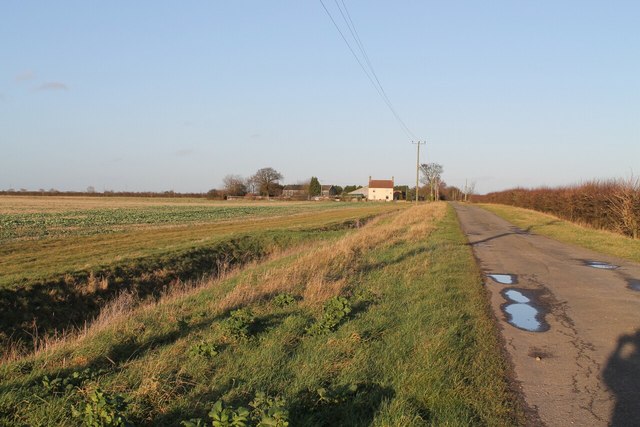
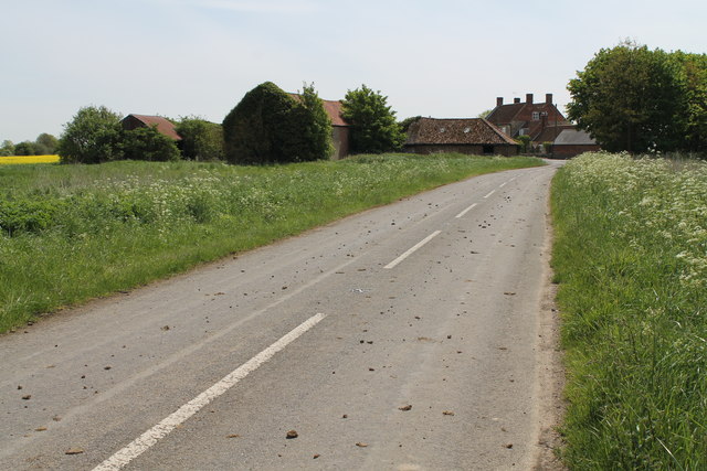
Horbling Fen is a diverse and picturesque area located in Lincolnshire, England. Spread across vast expanses of land, it is characterized by its unique combination of downs and moorland.

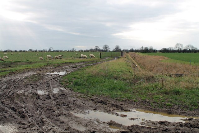
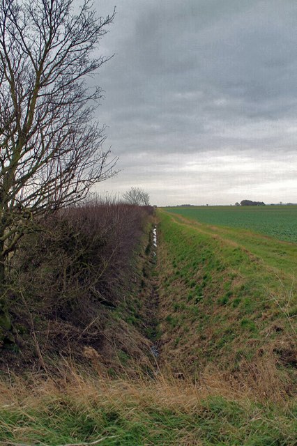
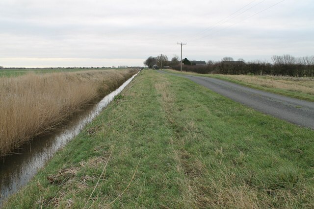
The fen is part of the wider fenland region, known for its rich biodiversity and stunning natural landscapes. Horbling Fen is home to a variety of wildlife species, including rare birds, mammals, and plants. The area serves as an important habitat for many protected species, contributing to its ecological significance.

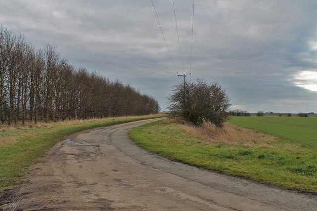
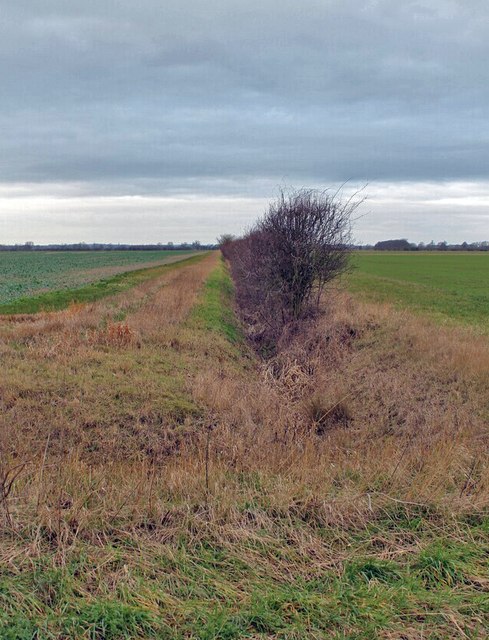
The downs in Horbling Fen are characterized by gently rolling hills and open grasslands. These areas offer panoramic views of the surrounding countryside and are ideal for hiking and exploring. The downs are also home to a variety of wildflowers, creating a vibrant display of colors during the summer months.

In contrast, the moorland in Horbling Fen presents a different landscape altogether. It is characterized by wetlands, marshes, and peat bogs. This unique habitat supports a diverse range of plants and animals, including bog mosses, heather, and waterfowl. The moorland is a popular spot for birdwatching, with many species making their home here, including the iconic curlew and lapwing.

Overall, Horbling Fen offers a multitude of opportunities for nature enthusiasts to explore and immerse themselves in the beauty of the fenland region. Its combination of downs and moorland provides a diverse range of habitats, ensuring a rich and varied ecosystem. Whether it's birdwatching, hiking, or simply enjoying the tranquility of nature, Horbling Fen is a must-visit destination for anyone seeking to experience the natural wonders of Lincolnshire.

If you have any feedback on the listing, please let us know in the comments section below.

Horbling Fen Images

Images are sourced within 2km of 52.9028/-0.28804112 or Grid Reference TF1535. Thanks to Geograph Open Source API. All images are credited.

North Drove  and Glebe Farm
North Drove and Glebe Farm
Track to Walker's Farm from Bridge End Causeway (A52)
Mud and Sheep I wouldn't fancy walking along this footpath along Car Dyke!
Mud and Sheep
I wouldn't fancy walking along this footpath along Car Dyke!
Horbling Fen Drove  On Horbling Fen
Horbling Fen Drove
On Horbling Fen
Drain off Horbling Fen Drove
Drain off Cross Drove
Horbling Fen Drove and Drain towards Fen Farm
Pumping Station View of the pumping station on Sempringham Lode as it joins the South Forty Foot Drain.  Photo taken from Neslam Bridge.
Pumping Station
View of the pumping station on Sempringham Lode as it joins the South Forty Foot Drain. Photo taken from Neslam Bridge.
Mud on Holland Road towards the B1177 A passing tractor perhaps?
Mud on Holland Road towards the B1177
A passing tractor perhaps?
Junction of Cross Drove with the A52
Farm track on Billingborough Fen Heading north.
Farm track on Billingborough Fen
Heading north.
Farm track and drain on Billingborough Fen The drain is on the right of the picture, behind the yellow flowers.
Farm track and drain on Billingborough Fen
The drain is on the right of the picture, behind the yellow flowers.
Bridge End Causeway, A52 The A52 is a major east-west road in the East Midlands. It runs east from a junction with the A53 at Newcastle-under-Lyme near Stoke-on-Trent (just east of the M6) to the Lincolnshire coast at Mablethorpe. Running for approximately 147 miles, its route passes via Ashbourne, Derby, Stapleford, Nottingham, West Bridgford, Bingham, Grantham, Boston and Skegness.
Bridge End Causeway, A52
The A52 is a major east-west road in the East Midlands. It runs east from a junction with the A53 at Newcastle-under-Lyme near Stoke-on-Trent (just east of the M6) to the Lincolnshire coast at Mablethorpe. Running for approximately 147 miles, its route passes via Ashbourne, Derby, Stapleford, Nottingham, West Bridgford, Bingham, Grantham, Boston and Skegness.
Bridge End Causeway (A52) The A52 is a major east-west road in the East Midlands. It runs east from a junction with the A53 at Newcastle-under-Lyme near Stoke-on-Trent (just east of the M6) to the Lincolnshire coast at Mablethorpe. Running for approximately 147 miles, its route passes via Ashbourne, Derby, Stapleford, Nottingham, West Bridgford, Bingham, Grantham, Boston and Skegness.
Bridge End Causeway (A52)
The A52 is a major east-west road in the East Midlands. It runs east from a junction with the A53 at Newcastle-under-Lyme near Stoke-on-Trent (just east of the M6) to the Lincolnshire coast at Mablethorpe. Running for approximately 147 miles, its route passes via Ashbourne, Derby, Stapleford, Nottingham, West Bridgford, Bingham, Grantham, Boston and Skegness.
Tractor on Bridge End Causeway The A52 is a major east-west road in the East Midlands. It runs east from a junction with the A53 at Newcastle-under-Lyme near Stoke-on-Trent (just east of the M6) to the Lincolnshire coast at Mablethorpe. Running for approximately 147 miles, its route passes via Ashbourne, Derby, Stapleford, Nottingham, West Bridgford, Bingham, Grantham, Boston and Skegness.
Tractor on Bridge End Causeway
The A52 is a major east-west road in the East Midlands. It runs east from a junction with the A53 at Newcastle-under-Lyme near Stoke-on-Trent (just east of the M6) to the Lincolnshire coast at Mablethorpe. Running for approximately 147 miles, its route passes via Ashbourne, Derby, Stapleford, Nottingham, West Bridgford, Bingham, Grantham, Boston and Skegness.
A52, Holland Road near to Bridge End The A52 is a major east-west road in the East Midlands. It runs east from a junction with the A53 at Newcastle-under-Lyme near Stoke-on-Trent (just east of the M6) to the Lincolnshire coast at Mablethorpe. Running for approximately 147 miles, its route passes via Ashbourne, Derby, Stapleford, Nottingham, West Bridgford, Bingham, Grantham, Boston and Skegness.
A52, Holland Road near to Bridge End
The A52 is a major east-west road in the East Midlands. It runs east from a junction with the A53 at Newcastle-under-Lyme near Stoke-on-Trent (just east of the M6) to the Lincolnshire coast at Mablethorpe. Running for approximately 147 miles, its route passes via Ashbourne, Derby, Stapleford, Nottingham, West Bridgford, Bingham, Grantham, Boston and Skegness.
A52 westbound
A52 westbound
A52 westbound
A52 westbound
Show me another place!

Horbling Fen is located at Grid Ref: TF1535 (Lat: 52.9028, Lng: -0.28804112)

Administrative County: Lincolnshire

District: South Kesteven

Police Authority: Lincolnshire

What 3 Words

///elections.together.condense. Near Billingborough, Lincolnshire

Nearby Locations

Horbling Fen

Related Wikis

Bridgend Priory

Bridgend Priory was a monastic house in Horbling, Lincolnshire, England. The priory was founded around 1199 by Godwin the Rich of Lincoln, a benefactor...

Swaton

Swaton is a village and civil parish in the North Kesteven district of Lincolnshire, England. It is situated on the B1394 road, less than 0.5 miles (0...

Horbling

Horbling is a village and civil parish in the South Kesteven district of Lincolnshire, England. It lies on the B1177, 7 miles (11 km) south-east of Sleaford...

St Andrew's Church, Billingborough

St Andrew's Church is a Grade I listed Anglican parish church dedicated to Andrew the Apostle, in Billingborough, Lincolnshire, England. The church is...

Billingborough

Billingborough is a village and civil parish in the South Kesteven district of Lincolnshire, England. It is situated approximately 10 miles (16 km) north...

Billingborough and Horbling railway station

Billingborough and Horbling railway station was a station serving the villages of Billingborough, Horbling and Threekingham, Lincolnshire on the Great...

Sempringham

Sempringham is a hamlet in the South Kesteven district of Lincolnshire, England. It is situated 2 miles (3.2 km) south from the A52 road, 12 miles (19...

Quadring Fen

Quadring Fen is a hamlet in the South Holland district of Lincolnshire, England. It is situated 2 miles (3.2 km) south from the A52 road, 5 miles (8.0...

Nearby Amenities

Located within 500m of 52.9028,-0.28804112
Horbling Fen
Place: locality
Source: Bing
Lat/Long: 52.9048642/-0.2878243
Sandygate Fen Farm
Place: farm
Source: Bing
Lat/Long: 52.901335/-0.2856669
The data included in this document is from www.openstreetmap.org. The data is made available under ODbL.

Have you been to Horbling Fen?

Leave your review of Horbling Fen below (or comments, questions and feedback).