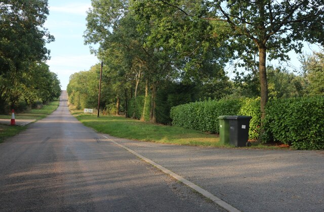
Ellington Common

Downs, Moorland in Huntingdonshire Huntingdonshire

England

Ellington Common

Spaldwick Service Station A14 westbound.
Spaldwick Service Station Credit: Ian Rob

Ellington Common is a picturesque area located in Huntingdonshire, a historic county in the eastern part of England. Situated near the village of Ellington, the common is characterized by its diverse landscape, consisting of downs and moorland.

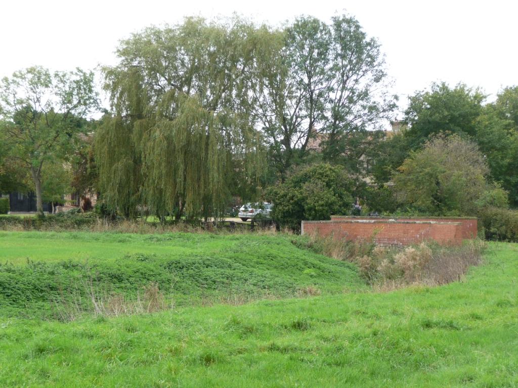
Covering an expansive area, Ellington Common is a haven for nature enthusiasts and provides ample opportunities for outdoor activities. The downs, with their rolling hills and expansive grasslands, offer stunning views of the surrounding countryside. Visitors can enjoy leisurely walks or hikes, taking in the fresh air and tranquility of the area.

The moorland in Ellington Common is a unique ecosystem, home to a variety of plant and animal species. Here, one can find heather, gorse, and other characteristic vegetation that flourish in this environment. Birdwatchers will be delighted by the presence of several avian species, including the rare stonechat and the skylark.

Ellington Common also plays an important role in the local community. It serves as a grazing ground for livestock and supports traditional farming practices. The local authorities actively manage the common to preserve its natural beauty and protect its ecological balance.

Overall, Ellington Common offers a serene landscape, rich in biodiversity. Its downs and moorland provide a perfect setting for exploration, relaxation, and appreciation of the natural world. Whether it's a leisurely stroll or a birdwatching adventure, visitors are sure to find solace and beauty in Ellington Common.

If you have any feedback on the listing, please let us know in the comments section below.

Ellington Common Images

Images are sourced within 2km of 52.336645/-0.31085522 or Grid Reference TL1572. Thanks to Geograph Open Source API. All images are credited.

Spaldwick Service Station A14 westbound.
Spaldwick Service Station
A14 westbound.
Postbox at Ellington PE28 101. Royal Mail list this box as 'Ellington'.
Postbox at Ellington
PE28 101. Royal Mail list this box as 'Ellington'.
Ben Burgess Farm Machinery
Spaldwick Service Station
Grafham Road, Ellington
Woolley Hill
Woolley Hill
Green on Grafham Road, Ellington If anywhere I have seen reminds me of Camberwick Green it is here.
Green on Grafham Road, Ellington
If anywhere I have seen reminds me of Camberwick Green it is here.
Converted farm buildings on Thrapston Road, Ellington From the end of the High Street
Converted farm buildings on Thrapston Road, Ellington
From the end of the High Street
Grafham Road at Ellington Thorpe
Field by Grafham Road, Ellington Thorpe
High Street, Ellington
All Saints church, Ellington
Parsons Drive, Ellington A small housing estate which is not densely packed and has retained some mature trees
Parsons Drive, Ellington
A small housing estate which is not densely packed and has retained some mature trees
Spaldwick Service Station
Thrapston Road, Ellington The A14 is a major road which runs for 129 miles from the Port of Felixstowe to the Catthorpe Interchange, the junction of the M1 and M6 motorways near Rugby.

The route linking Rugby (and therefore the West Midlands and the north of England via the motorway network) to East Anglia and the ports of Felixstowe and Harwich is incredibly important and incredibly busy (Felixstowe is the UK's principal container port and the A14 is the road between Felixstowe and everywhere else) but it didn't exist in any coherent form until about 1992.

Prior to the current A14 the main route from Birmingham to the Haven ports followed the old A45 road via Coventry, Rugby, Northampton, St Neots, Cambridge and then through all the towns on the A14, from there to Ipswich where it ended on the A12 – not the fast route required for transporting goods across the country with the sudden rise in container shipping during the latter part of the twentieth century.

Most of the current A14 route is a collection of bits of dual carriageway acquired from other roads (most notably the A45) with occasional stretches of new road to bolt it all together. Because of its importance to the country’s economy, there are plans to upgrade it further.

Prior to its use for the current route the A14 designation had been used for a section of road between the A10 at Royston and the A1 at Alconbury following part of the route of the Roman road, Ermine Street, which is now mostly designated as the A1198. The only bit of the current A14 that follows that number's original route is the spur linking junction 23 to the A1.

<span class="nowrap"><a title="http://www.cbrd.co.uk/motorway/a14" rel="nofollow ugc noopener" href="http://www.cbrd.co.uk/motorway/a14">Link</a><img style="margin-left:2px;" alt="External link" title="External link - shift click to open in new window" src="https://s1.geograph.org.uk/img/external.png" width="10" height="10"/></span> Chris's British Road Directory
<span class="nowrap"><a title="http://en.wikipedia.org/wiki/A14_road_(England)" rel="nofollow ugc noopener" href="http://en.wikipedia.org/wiki/A14_road_(England)">Link</a><img style="margin-left:2px;" alt="External link" title="External link - shift click to open in new window" src="https://s1.geograph.org.uk/img/external.png" width="10" height="10"/></span>  Wikipedia
Thrapston Road, Ellington
The A14 is a major road which runs for 129 miles from the Port of Felixstowe to the Catthorpe Interchange, the junction of the M1 and M6 motorways near Rugby. The route linking Rugby (and therefore the West Midlands and the north of England via the motorway network) to East Anglia and the ports of Felixstowe and Harwich is incredibly important and incredibly busy (Felixstowe is the UK's principal container port and the A14 is the road between Felixstowe and everywhere else) but it didn't exist in any coherent form until about 1992. Prior to the current A14 the main route from Birmingham to the Haven ports followed the old A45 road via Coventry, Rugby, Northampton, St Neots, Cambridge and then through all the towns on the A14, from there to Ipswich where it ended on the A12 – not the fast route required for transporting goods across the country with the sudden rise in container shipping during the latter part of the twentieth century. Most of the current A14 route is a collection of bits of dual carriageway acquired from other roads (most notably the A45) with occasional stretches of new road to bolt it all together. Because of its importance to the country’s economy, there are plans to upgrade it further. Prior to its use for the current route the A14 designation had been used for a section of road between the A10 at Royston and the A1 at Alconbury following part of the route of the Roman road, Ermine Street, which is now mostly designated as the A1198. The only bit of the current A14 that follows that number's original route is the spur linking junction 23 to the A1. LinkExternal link Chris's British Road Directory LinkExternal link Wikipedia
All Saints' Church spire at Ellington, near Huntingdon in Cambridgeshire This photo shows a view towards All Saints' Church.  The 14th-century spire is visible through the trees.

Leaving the A14 Eastbound at Junction 20 the slip road brings you to a roundabout.  Turning right at this roundabout from the A14 takes you to Ellington using the bridge over the A14.  This is the location of the photo.
All Saints' Church spire at Ellington, near Huntingdon in Cambridgeshire
This photo shows a view towards All Saints' Church. The 14th-century spire is visible through the trees. Leaving the A14 Eastbound at Junction 20 the slip road brings you to a roundabout. Turning right at this roundabout from the A14 takes you to Ellington using the bridge over the A14. This is the location of the photo.
Ellington Thorpe, looking north The cottage on the right is called The Crooked Billet.
Ellington Thorpe, looking north
The cottage on the right is called The Crooked Billet.
All Saints church, Ellington
Show me another place!

Ellington Common is located at Grid Ref: TL1572 (Lat: 52.336645, Lng: -0.31085522)

Administrative County: Cambridgeshire

District: Huntingdonshire

Police Authority: Cambridgeshire

What 3 Words

///bend.browser.afternoon. Near Alconbury, Cambridgeshire

Nearby Locations

Ellington Common

Related Wikis

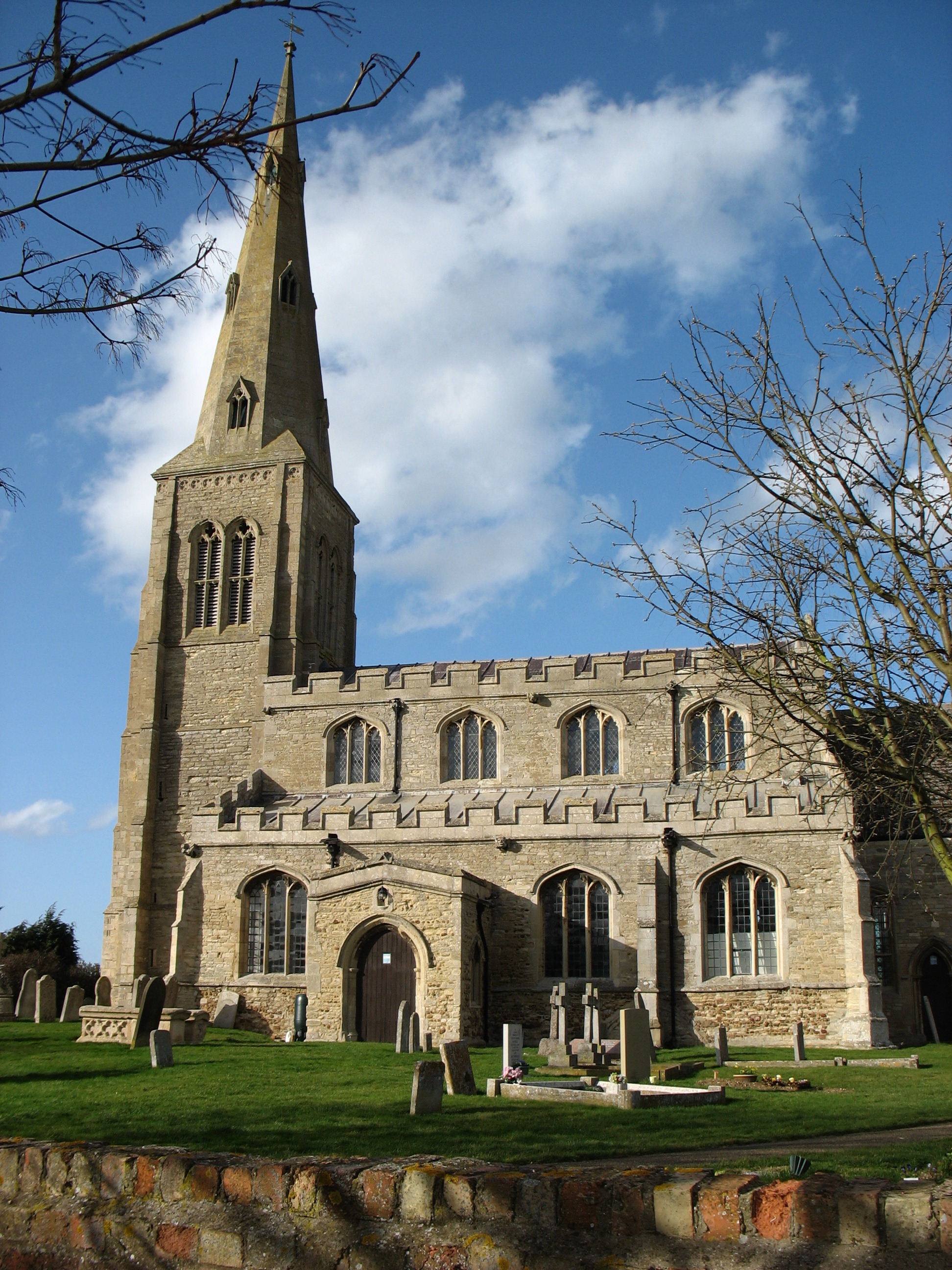
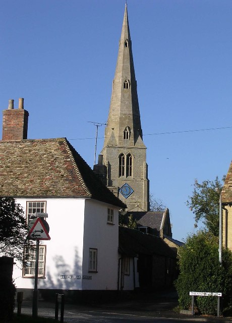
Ellington, Cambridgeshire

Ellington is a village and civil parish in Cambridgeshire, England, 4 miles (6 km) west of Huntingdon in Huntingdonshire, a non-metropolitan district...

Easton, Cambridgeshire

Easton is a village and civil parish in Cambridgeshire, England. Easton lies approximately 6 miles (10 km) west of Huntingdon, between the villages of...

Woolley, Cambridgeshire

Woolley is a hamlet and former civil parish, now in the parish of Barham and Woolley, in Cambridgeshire, England. Woolley lies approximately 5 miles (8...

Spaldwick

Spaldwick is a village and civil parish in Cambridgeshire, England. Spaldwick lies approximately 6 miles (10 km) west of Huntingdon, near Catworth. Spaldwick...

Nearby Amenities

Located within 500m of 52.336645,-0.31085522
Motorway Junction
Ellington Interchange
Exit To: Ellington, Grafham Water
Ref: 20
Source: survey
Lat/Long: 52.3354516/-0.3041116
Design: barrel
Line Attachment: suspension
Material: steel
Power: tower
Structure: lattice
Lat/Long: 52.3332307/-0.31422
Design: barrel
Line Attachment: suspension
Material: steel
Power: tower
Structure: lattice
Lat/Long: 52.3361194/-0.3109513
Design: barrel
Line Attachment: suspension
Material: steel
Power: tower
Structure: lattice
Lat/Long: 52.3382661/-0.3085103
Parking
Lat/Long: 52.3364905/-0.3111492
Tree: yes
Lat/Long: 52.3373888/-0.3041814
Crossing
Lat/Long: 52.335041/-0.3066208
Historic: milestone
Inscription: To Thrapston 11 miles. To Huntingdon 6 miles.
Wikidata: Q26423283
Lat/Long: 52.3364273/-0.3140491
The data included in this document is from www.openstreetmap.org. The data is made available under ODbL.

Have you been to Ellington Common?

Leave your review of Ellington Common below (or comments, questions and feedback).