Langtoft Fen

Downs, Moorland in Lincolnshire South Kesteven

England

Langtoft Fen

Langtoft Outgang Road Looking north east along the road with Park Farm on the left.
Langtoft Outgang Road Credit: Tony Atkin

Langtoft Fen is a unique and diverse natural area located in Lincolnshire, England. Covering an extensive area of downs and moorland, it is known for its outstanding beauty and rich ecological importance. The fen is situated in the southern part of the county, near the village of Langtoft.

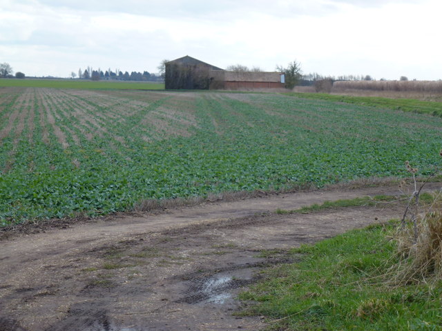
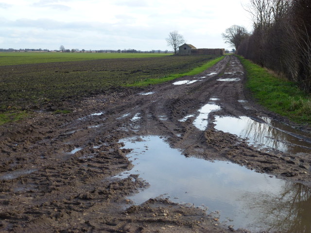
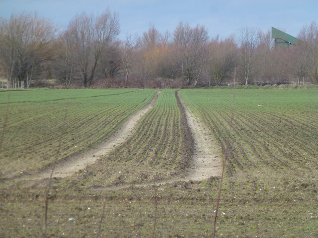
The downs in Langtoft Fen are characterized by their gently rolling hills and expansive grasslands. These downs provide habitat for a variety of plant and animal species, including rare orchids and butterflies. The grasslands are carefully managed through traditional farming practices, preserving their natural beauty and promoting biodiversity.

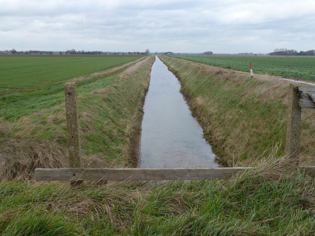
The moorland in Langtoft Fen is a stark contrast to the downs, featuring heather-covered hillsides and peat bogs. This unique ecosystem supports a range of specially adapted plant species, such as sphagnum moss and cotton grass. Moorland birds, including the iconic red grouse, can also be found in this area.

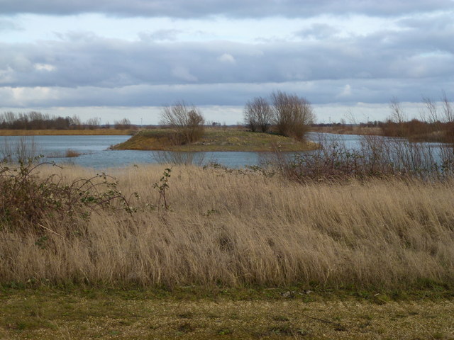
Langtoft Fen is of great importance for conservation efforts in Lincolnshire. The fen provides a vital habitat for many protected and rare species, including water voles and various species of dragonflies. The area is also home to several bird species of conservation concern, such as the Eurasian curlew and the Eurasian marsh harrier.

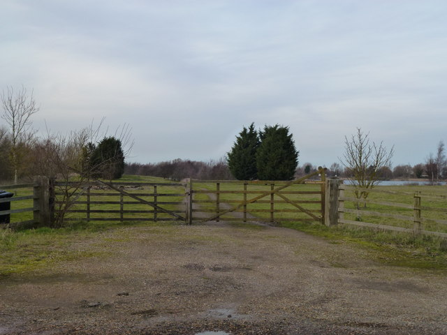
In addition to its ecological significance, Langtoft Fen offers opportunities for outdoor activities and recreation. The area is crisscrossed by walking trails, allowing visitors to explore the diverse landscape and enjoy the tranquil surroundings. Interpretive signs and information boards provide educational resources, helping visitors to appreciate the fen's natural wonders and understand the importance of its conservation.

If you have any feedback on the listing, please let us know in the comments section below.
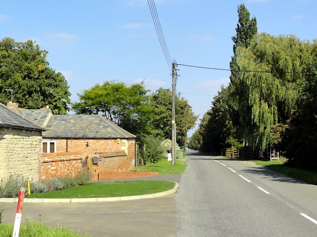
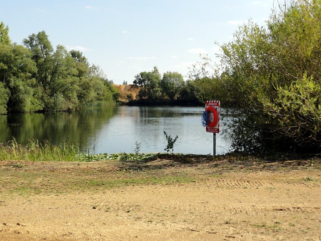
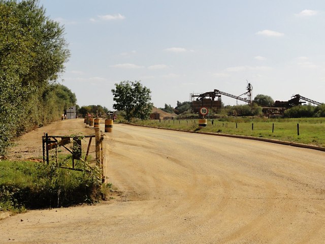
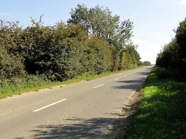
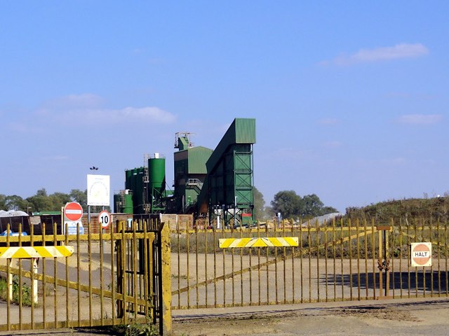
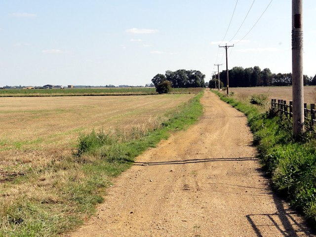
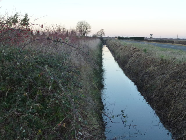
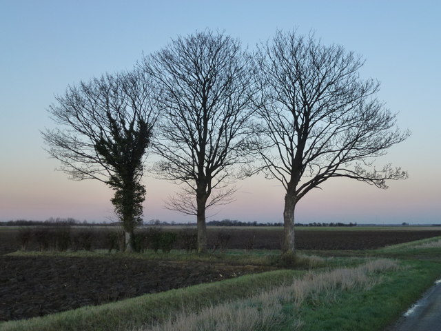
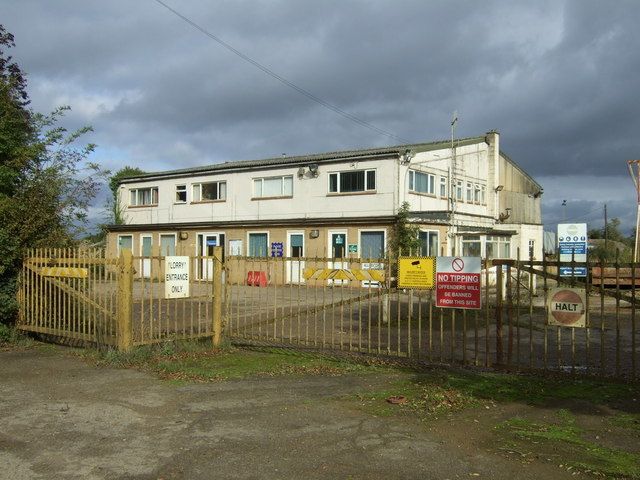
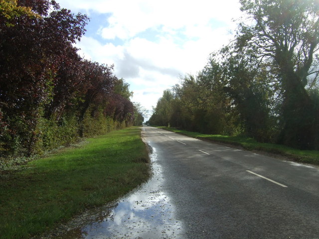
Langtoft Fen Images

Images are sourced within 2km of 52.711795/-0.2979707 or Grid Reference TF1514. Thanks to Geograph Open Source API. All images are credited.

Langtoft Outgang Road Looking north east along the road with Park Farm on the left.
Langtoft Outgang Road
Looking north east along the road with Park Farm on the left.
Flooded Gravel Pit This area is covered with these flooded gravel pits, what remains when gravel extraction has moved on, but getting a view of them from the road is frustratingly difficult. I don't think public access is allowed but there is a lifebuoy here just in case.
Flooded Gravel Pit
This area is covered with these flooded gravel pits, what remains when gravel extraction has moved on, but getting a view of them from the road is frustratingly difficult. I don't think public access is allowed but there is a lifebuoy here just in case.
Sand And Gravel Works This looks to be the main entrance to the sorting and storage facility.
Sand And Gravel Works
This looks to be the main entrance to the sorting and storage facility.
Cross Road The thick hedges hide the flooded gravel pits on either side of this straight fenland road.
Cross Road
The thick hedges hide the flooded gravel pits on either side of this straight fenland road.
Gravel Works Looking through the gate to the gravel processing works.
Gravel Works
Looking through the gate to the gravel processing works.
Fenland Track This track goes arrow straight across the fenland at right angles to Baston Outgang Road.
Fenland Track
This track goes arrow straight across the fenland at right angles to Baston Outgang Road.
Cross Drove and dike, Market Deeping
Three trees on Langtoft Fen To the east of Gibbs Farm on Meadow Road
Three trees on Langtoft Fen
To the east of Gibbs Farm on Meadow Road
Cross Drain at Sixscore Bridge Cutting across Langtoft Fen
Cross Drain at Sixscore Bridge
Cutting across Langtoft Fen
Isolated farm buildings off Six Score Road North east of Market Deeping
Isolated farm buildings off Six Score Road
North east of Market Deeping
Island in a flooded gravel pit, Langtoft Fen
Slushy farm track on Langtoft Fen
Tracks through the cereal crop A small arable field surrounded by active and former sand and gravel working on Langtoft Fen
Tracks through the cereal crop
A small arable field surrounded by active and former sand and gravel working on Langtoft Fen
Hanson sand and gravel works, Baston Fen
Big CAT on Baston Fen A fairly new extraction area next to existing workings. Dumper trucks take the sand and gravel to the grading equipment about 800m away
Big CAT on Baston Fen
A fairly new extraction area next to existing workings. Dumper trucks take the sand and gravel to the grading equipment about 800m away
Gated entrance near Park Farm, Langtoft
Sand and gravel works, Baston Fen
Cross Road Heading south east by sand and gravel works.
Cross Road
Heading south east by sand and gravel works.
Show me another place!

Langtoft Fen is located at Grid Ref: TF1514 (Lat: 52.711795, Lng: -0.2979707)

Administrative County: Lincolnshire

District: South Kesteven

Police Authority: Lincolnshire

What 3 Words

///clean.reputable.dozed. Near Langtoft, Lincolnshire

Nearby Locations

Langtoft Fen

Related Wikis

A1175 road

The A1175 road is a road in south-west Lincolnshire, England. It runs between Stamford and Spalding, along the old A16 route. == History == It was previously...

Deeping Rangers F.C.

Deeping Rangers Football Club is a football club based in Market Deeping, Lincolnshire, England. They were established in 1964 and originally played at...

Langtoft, Lincolnshire

Langtoft is a village and civil parish in the South Kesteven district of Lincolnshire, England. The population of the civil parish at the 2021 census was...

Hop Pole

Hop Pole is a hamlet in the South Holland district of Lincolnshire, England. It is situated between Deeping St James and Deeping St Nicholas, and on the...

Nearby Amenities

Located within 500m of 52.711795,-0.2979707
Langtoft Fen
Place: locality
Source: Bing
Lat/Long: 52.714953/-0.2936665
Broadgate House
Place: isolated_dwelling
Source: Bing
Lat/Long: 52.7142653/-0.3009755
The data included in this document is from www.openstreetmap.org. The data is made available under ODbL.

Have you been to Langtoft Fen?

Leave your review of Langtoft Fen below (or comments, questions and feedback).