Ewerby Fen
Downs, Moorland in Lincolnshire North Kesteven
England
Ewerby Fen

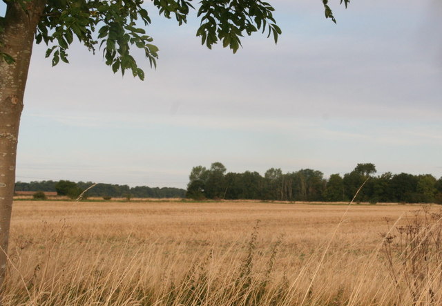
Ewerby Fen is a vast expanse of fenland situated in the county of Lincolnshire, England. It is located near the village of Ewerby, nestled between the Lincolnshire Downs to the west and the moorland to the east. The fen covers an area of approximately 300 hectares and is renowned for its rich biodiversity and unique natural beauty.
The landscape of Ewerby Fen is characterized by its flat and marshy terrain, with numerous water channels, ditches, and small pools dotting the area. These water features provide a habitat for a wide variety of plant and animal species, making it a haven for wildlife enthusiasts and nature lovers. The fen is particularly known for its diverse bird population, including species such as the bittern, marsh harrier, and water rail.
The vegetation of Ewerby Fen consists mainly of reeds, sedges, and rushes, which thrive in the wetland conditions. These plants create a vibrant and verdant landscape, especially during the summer months when they are in full bloom. The fen also supports several rare and protected plant species, such as the fen orchid and marsh cinquefoil.
Access to Ewerby Fen is provided through a network of footpaths and nature trails, allowing visitors to explore and appreciate the unique natural environment. The fen offers a peaceful and tranquil escape from the hustle and bustle of modern life, with breathtaking views and the opportunity to observe and appreciate the wonders of nature up close.
If you have any feedback on the listing, please let us know in the comments section below.
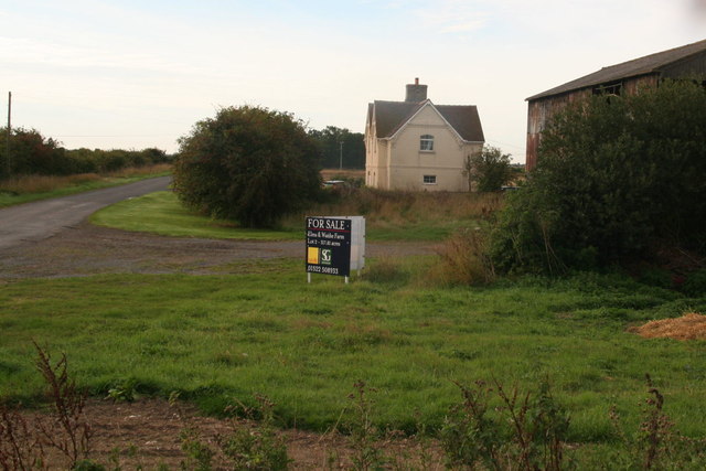
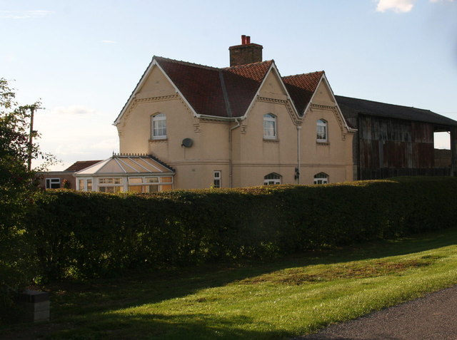
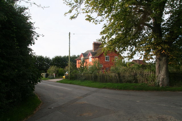
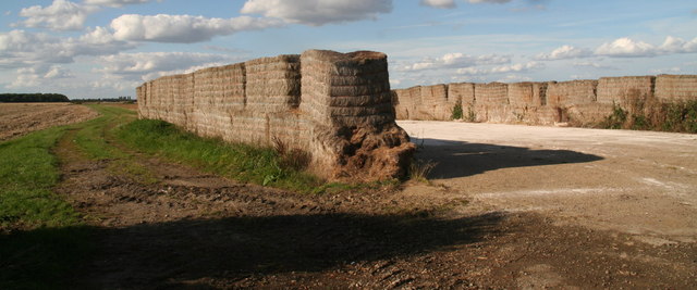
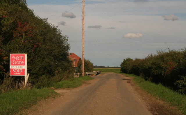
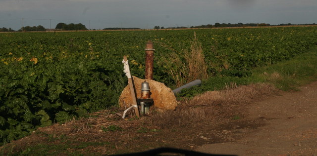
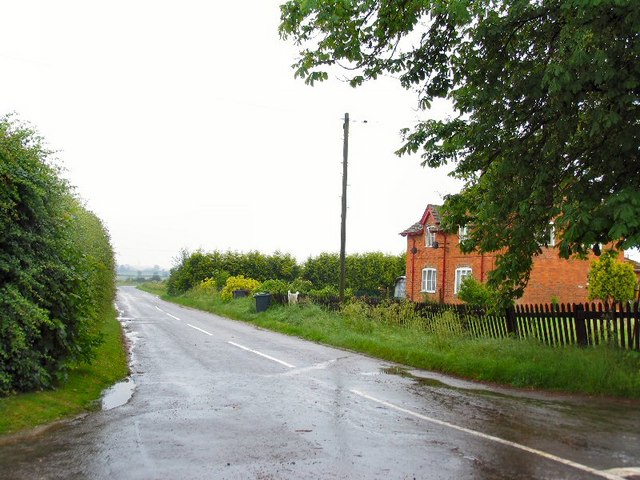
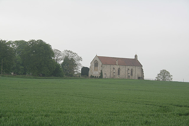
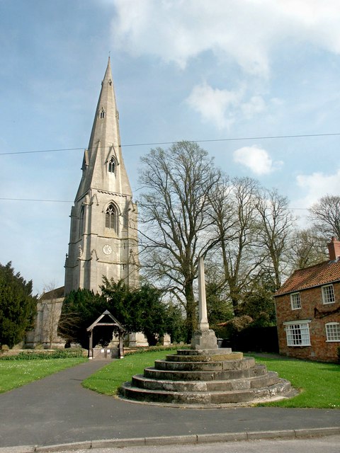
Ewerby Fen Images
Images are sourced within 2km of 53.019877/-0.29025306 or Grid Reference TF1448. Thanks to Geograph Open Source API. All images are credited.


Ewerby Fen is located at Grid Ref: TF1448 (Lat: 53.019877, Lng: -0.29025306)
Administrative County: Lincolnshire
District: North Kesteven
Police Authority: Lincolnshire
What 3 Words
///scrambles.cringes.showdown. Near Heckington, Lincolnshire
Nearby Locations
Related Wikis
Ewerby Thorpe
Ewerby Thorpe is a hamlet in the civil parish of Ewerby and Evedon, in the North Kesteven district of Lincolnshire, England. It lies 2 miles (3.2 km) north...

Car Dyke
The Car Dyke was, and to a large extent still is, a long ditch which runs along the western edge of the Fens in eastern England for a distance of over...

Howell, Lincolnshire
Howell is a hamlet in the North Kesteven district of Lincolnshire, approximately 1 mile (1.6 km) north of the A17, 4 miles (6 km) east from Sleaford, and...
Kyme Priory
Kyme Priory was a priory in South Kyme, Lincolnshire, England. What remains of the buildings are now part of Saint Mary and All Saints Church. The Augustinian...

Ewerby and Evedon
Ewerby and Evedon is a civil Parish in North Kesteven, Lincolnshire, England. It includes the villages of Ewerby and Evedon, the hamlet of Haverholme,...
Ewerby
Ewerby is a village in the North Kesteven district of Lincolnshire, England. It lies 3 miles (4.8 km) north-east from Sleaford and 2 miles (3.2 km) south...
Asgarby and Howell
Asgarby and Howell is a civil parish in the North Kesteven district of Lincolnshire, England, consisting of the villages of Asgarby and Howell. According...
South Kyme
South Kyme is a small village and civil parish in the North Kesteven district of Lincolnshire, England. The population of the civil parish at the 2011...
Nearby Amenities
Located within 500m of 53.019877,-0.29025306Have you been to Ewerby Fen?
Leave your review of Ewerby Fen below (or comments, questions and feedback).