Hopgardens Rue
Downs, Moorland in Surrey Mole Valley
England
Hopgardens Rue
Hopgardens Rue is a picturesque area located in Surrey, England, known for its beautiful landscape and close proximity to the Surrey Downs and Moorland. The area is characterized by its rolling hills, lush green pastures, and scenic views that attract visitors and locals alike.
Situated in the heart of the Surrey countryside, Hopgardens Rue offers a tranquil and idyllic setting for nature lovers and outdoor enthusiasts. The Surrey Downs, which are just a stone's throw away, provide ample opportunities for activities such as hiking, horseback riding, and cycling. The moorland, with its unique flora and fauna, also offers a chance to explore and discover the area's natural beauty.
The area is dotted with charming villages and historic landmarks, adding to its appeal. Visitors can explore the nearby towns of Guildford and Dorking, which offer a range of amenities, including shops, restaurants, and cultural attractions. The area is also home to several vineyards, making it a popular destination for wine enthusiasts.
Hopgardens Rue is well-connected to major transportation routes, making it easily accessible for residents and visitors. The nearby A24 provides convenient access to London and other major cities, while the local train stations offer regular services to surrounding areas.
Overall, Hopgardens Rue in Surrey is a hidden gem that offers a peaceful and scenic escape from the hustle and bustle of city life. With its stunning natural beauty, proximity to the Surrey Downs and Moorland, and charming villages, it is a destination that truly has something for everyone.
If you have any feedback on the listing, please let us know in the comments section below.
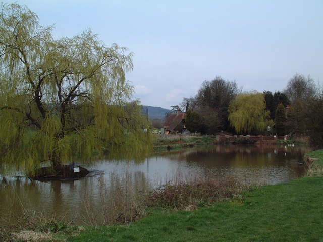
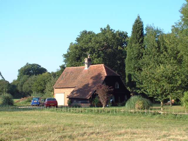
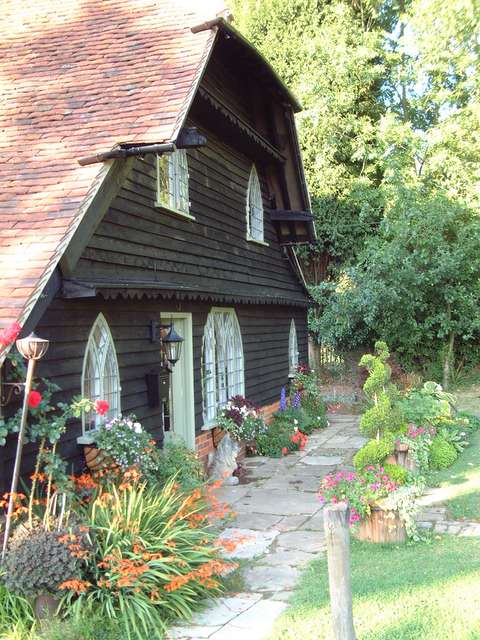
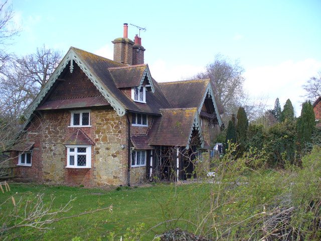
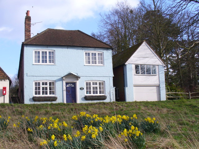
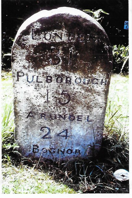
Hopgardens Rue Images
Images are sourced within 2km of 51.13187/-0.36471884 or Grid Reference TQ1438. Thanks to Geograph Open Source API. All images are credited.


Hopgardens Rue is located at Grid Ref: TQ1438 (Lat: 51.13187, Lng: -0.36471884)
Administrative County: Surrey
District: Mole Valley
Police Authority: Surrey
What 3 Words
///reporting.lipstick.precautions. Near Capel, Surrey
Nearby Locations
Related Wikis

Vann Lake and Ockley Woods
Vann Lake and Ockley Woods is a 57.8-hectare (143-acre) biological Site of Special Scientific Interest south of Ockley in Surrey. Vann Lake is part of...

Ockley
Ockley is a rural village in Surrey. It lies astride the A29, the modern road using the alignment of Stane Street (Chichester). The A29 diverges from the...

Auclaye
Auclaye is a 0.6-hectare (1.5-acre) geological Site of Special Scientific Interest south of Capel in Surrey. It is a Geological Conservation Review site...

Wallis Wood
Wallis Wood is a 14-hectare (35-acre) nature reserve south-east of Ewhurst in Surrey. It is managed by the Surrey Wildlife Trust.A stream runs through...

Stane Street (Chichester)
Stane Street is the modern name of the 91 km-long (57 mi) Roman road in southern England that linked Londinium (London) to Noviomagus Reginorum (Chichester...

Shiremark Mill, Capel
Shiremark Mill, also known as Kingsfold Mill or Capel Mill was a listed Smock mill at Capel, Surrey, England, which was burnt down in 1972. == History... ==

Ockley railway station
Ockley railway station serves the villages of Ockley and Capel in Surrey, England and is 1.4 miles (2.3 km) from Ockley village and 0.5 miles (0.80 km...

Clock House Brickworks
Clock House Brickworks is a 35.9-hectare (89-acre) geological Site of Special Scientific Interest south of Capel in Surrey. It is a Geological Conservation...
Nearby Amenities
Located within 500m of 51.13187,-0.36471884Have you been to Hopgardens Rue?
Leave your review of Hopgardens Rue below (or comments, questions and feedback).