Praie Grounds
Downs, Moorland in Lincolnshire North Kesteven
England
Praie Grounds
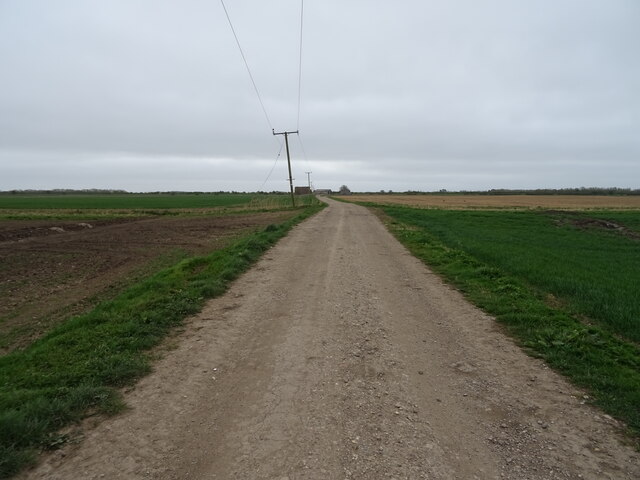
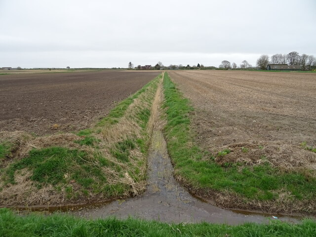
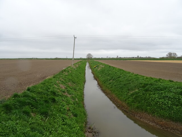
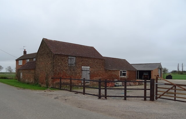
Praie Grounds, located in Lincolnshire, is a picturesque area encompassing downs and moorland landscapes. Spread across a vast expanse, it offers breathtaking views and a tranquil environment for visitors to enjoy.
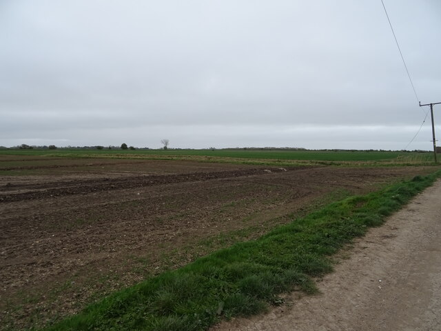
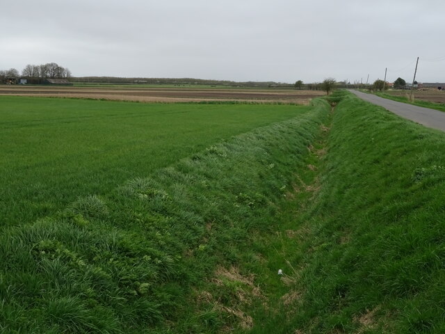
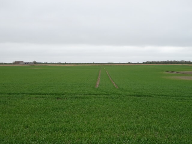
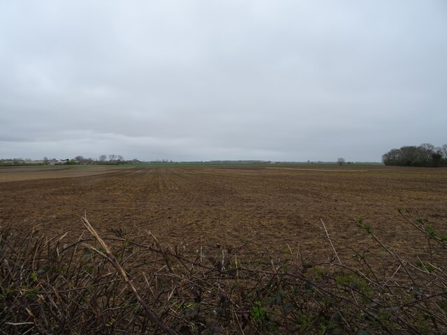
The downs in Praie Grounds are characterized by gently rolling hills and expansive grasslands. The area is teeming with a rich variety of flora, including wildflowers, grasses, and shrubs. The downs are known for their open spaces and are perfect for leisurely walks or picnics, allowing visitors to immerse themselves in the beauty of nature.
Adjacent to the downs, the moorland in Praie Grounds offers a different experience altogether. Here, visitors can discover a more rugged and untamed landscape, featuring heather-covered hillsides, rocky outcrops, and meandering streams. The moorland is home to a diverse range of wildlife, including birds of prey, foxes, and various species of deer.
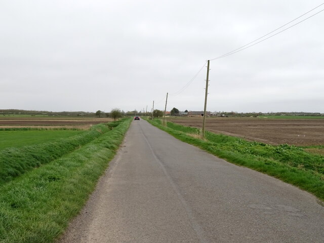
Praie Grounds is a haven for outdoor enthusiasts, with numerous trails and paths winding through the downs and moorland. These routes cater to both novice and experienced hikers, providing opportunities for exploration and adventure. Nature lovers can also indulge in birdwatching, as the area attracts a wide variety of avian species.
The beauty of Praie Grounds lies in its ability to captivate visitors with its natural splendor and peaceful ambiance. Whether it is the sweeping vistas from the downs or the rugged charm of the moorland, this area in Lincolnshire offers a memorable experience for all who venture to its grounds.
If you have any feedback on the listing, please let us know in the comments section below.
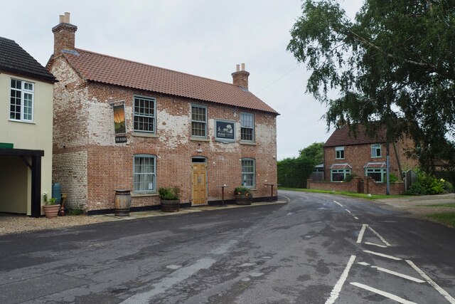
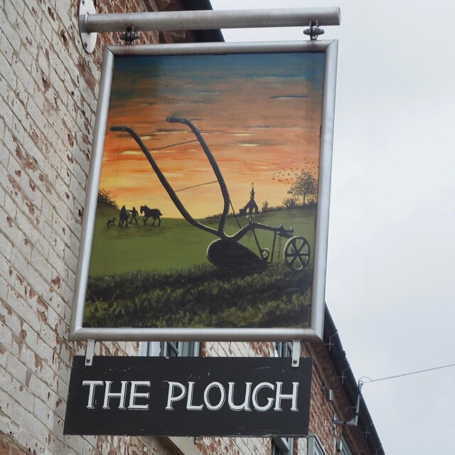
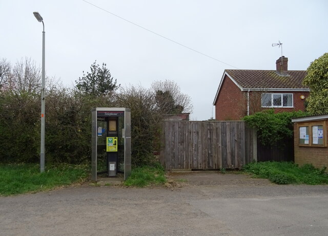
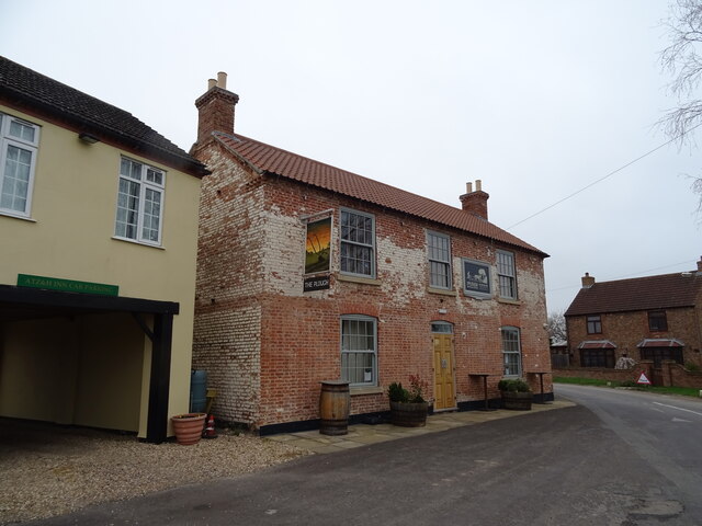
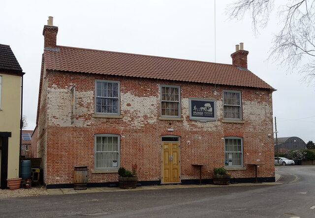
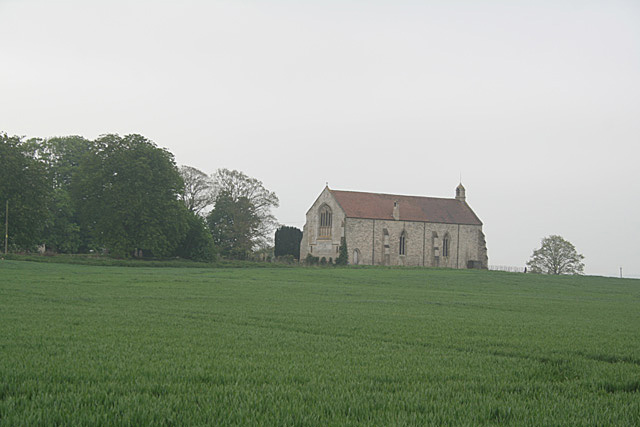
Praie Grounds Images
Images are sourced within 2km of 53.056163/-0.29729229 or Grid Reference TF1452. Thanks to Geograph Open Source API. All images are credited.


Praie Grounds is located at Grid Ref: TF1452 (Lat: 53.056163, Lng: -0.29729229)
Administrative County: Lincolnshire
District: North Kesteven
Police Authority: Lincolnshire
What 3 Words
///spilling.tightrope.channel. Near Billinghay, Lincolnshire
Nearby Locations
Related Wikis

North Kyme
North Kyme is a village and civil parish in the North Kesteven district of Lincolnshire, England. The civil parish had a population of 431 at the 2011...

Billinghay
Billinghay is a village and civil parish in the North Kesteven district of Lincolnshire, England. The village is situated approximately 7 miles (11 km...

Anwick
Anwick is a small village and civil parish in the North Kesteven district of Lincolnshire, England. The population of the civil parish at the 2011 census...

RAF Anwick
Royal Air Force Anwick or more simply RAF Anwick is a former Second World War faux Royal Air Force decoy station near the village of Anwick, 21.3 mi (34...
Kyme Priory
Kyme Priory was a priory in South Kyme, Lincolnshire, England. What remains of the buildings are now part of Saint Mary and All Saints Church. The Augustinian...

Catley Priory
Catley Priory was a monastic house in Walcott, Lincolnshire, England. The Gilbertine priory of Saint Mary, Catley, was founded as a double house for...
South Kyme
South Kyme is a small village and civil parish in the North Kesteven district of Lincolnshire, England. The population of the civil parish at the 2011...

Walcott, Lincolnshire
Walcott is a small village and civil parish in the North Kesteven district of Lincolnshire, England. The population of the civil parish at the 2011 census...
Nearby Amenities
Located within 500m of 53.056163,-0.29729229Have you been to Praie Grounds?
Leave your review of Praie Grounds below (or comments, questions and feedback).