Dowsby Fen

Downs, Moorland in Lincolnshire South Kesteven

England

Dowsby Fen

Car Dyke, Dowsby Fen, Lincs – view NNE from Fen Road along the course of the Roman canal.
Car Dyke, Dowsby Fen, Lincs Credit: Rodney Burton

Dowsby Fen is a small village located in the county of Lincolnshire, England. Situated in the district of South Kesteven, it is part of the civil parish of Dowsby. The village is nestled in the heart of the Lincolnshire Fens, surrounded by stunning countryside and picturesque views.

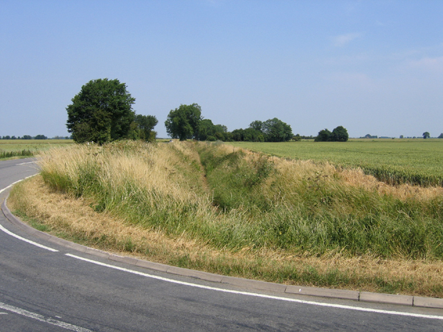
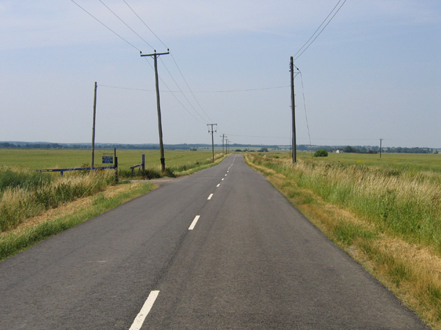
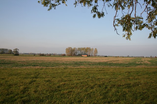
Dowsby Fen is known for its unique landscape, characterized by its flat, low-lying terrain and rich agricultural fields. The area is predominantly rural, with a scattering of quaint cottages and farmhouses dotting the landscape. The fenland offers a haven for wildlife, with numerous bird species and other fauna thriving in the marshy wetlands.

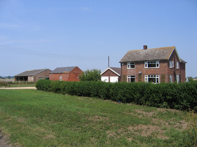
The village itself is small but charming, with a close-knit community that takes pride in its rural heritage. It boasts a few essential amenities, including a local church, a village hall, and a primary school. Residents of Dowsby Fen enjoy a peaceful and tranquil lifestyle, away from the hustle and bustle of larger towns and cities.

Surrounding Dowsby Fen are several notable attractions. Just a short drive away is the market town of Bourne, offering a range of shops, restaurants, and leisure facilities. Additionally, the city of Peterborough is within easy reach, providing residents with access to further amenities and transport links.

Overall, Dowsby Fen is a hidden gem in the Lincolnshire countryside, offering a serene and idyllic setting for those seeking a peaceful rural lifestyle.

If you have any feedback on the listing, please let us know in the comments section below.
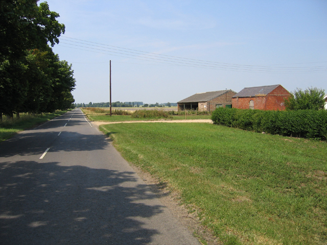
Dowsby Fen Images

Images are sourced within 2km of 52.849857/-0.3057181 or Grid Reference TF1429. Thanks to Geograph Open Source API. All images are credited.

Car Dyke, Dowsby Fen, Lincs – view NNE from Fen Road along the course of the Roman canal.
Car Dyke, Dowsby Fen, Lincs
– view NNE from Fen Road along the course of the Roman canal.
Woodland in Dowsby Fen, Lincs north of Fen Road.
Woodland in Dowsby Fen, Lincs
north of Fen Road.
Middle Fen Farm, Dowsby Fen, Lincs beside Fen Road.
Middle Fen Farm, Dowsby Fen, Lincs
beside Fen Road.
Fen Road, Dowsby Fen, Lincs – view W towards Dowsby.
Fen Road, Dowsby Fen, Lincs
– view W towards Dowsby.
Fen Road, Dowsby Fen, Lincs near the entrance to Glebe Farm; view WSW towards the Jurassic uplands of Kesteven in the distance.
Fen Road, Dowsby Fen, Lincs
near the entrance to Glebe Farm; view WSW towards the Jurassic uplands of Kesteven in the distance.
Drain in Dowsby Fen, Lincs beside the B1397 Fen Road; view W towards Poplar Farm.
Drain in Dowsby Fen, Lincs
beside the B1397 Fen Road; view W towards Poplar Farm.
Short Drove and bridge, Aslackby Fen, Lincs – view N from Fen Road.
Short Drove and bridge, Aslackby Fen, Lincs
– view N from Fen Road.
Footpath to Old Decoy Farm
Dunsby Fen Rural view across Dunsby Fen near Old Decoy Farm
Dunsby Fen
Rural view across Dunsby Fen near Old Decoy Farm
Car Dyke Line of the Roman Car Dyke on Dowsby Fen skirting Old Decoy Farm Wood
Car Dyke
Line of the Roman Car Dyke on Dowsby Fen skirting Old Decoy Farm Wood
Long Drove On Rippingale Fen
Long Drove
On Rippingale Fen
Rippingale Fen The Roman Car Dyke on Rippingale Fen, seen from Long Drove
Rippingale Fen
The Roman Car Dyke on Rippingale Fen, seen from Long Drove
Flower lined Track Summer wild flowers edge the track between fields of Oilseed Rape to the South of Long Drove, Rippingale Fen.
Flower lined Track
Summer wild flowers edge the track between fields of Oilseed Rape to the South of Long Drove, Rippingale Fen.
Hectares of Bio-fuel Cow Parsley panicles beside an unbroken sea of Oilseed Rape growing in Rippingale Fen.
Hectares of Bio-fuel
Cow Parsley panicles beside an unbroken sea of Oilseed Rape growing in Rippingale Fen.
Camp Farm View West toward Camp Farm from the drain alongside Long Drove, Rippingale Fen.
Camp Farm
View West toward Camp Farm from the drain alongside Long Drove, Rippingale Fen.
Recent Work Re-profiling of the drain bank to the North-side of Long Drove, Rippingale Fen, Lincs.
Recent Work
Re-profiling of the drain bank to the North-side of Long Drove, Rippingale Fen, Lincs.
Starlings Departure Looking East along Long Drove, Rippingale Fen. The flock of Starlings to the right had been on the power lines but decided on a no publicity policy as the photo was taken.
Starlings Departure
Looking East along Long Drove, Rippingale Fen. The flock of Starlings to the right had been on the power lines but decided on a no publicity policy as the photo was taken.
North - bound Lane Very close to the Western edge of the grid square, this farm track heads North towards Dowsby Drain from Long Drove, Rippingale Fen.
North - bound Lane
Very close to the Western edge of the grid square, this farm track heads North towards Dowsby Drain from Long Drove, Rippingale Fen.
Show me another place!

Dowsby Fen is located at Grid Ref: TF1429 (Lat: 52.849857, Lng: -0.3057181)

Administrative County: Lincolnshire

District: South Kesteven

Police Authority: Lincolnshire

What 3 Words

///flattered.surging.degree. Near Billingborough, Lincolnshire

Nearby Locations

Dowsby Fen

Related Wikis

South Forty-Foot Drain

The South Forty-Foot Drain, also known as the Black Sluice Navigation, is the main channel for the land-drainage of the Black Sluice Level in the Lincolnshire...

Dowsby

Dowsby is a village and civil parish in the South Kesteven district of Lincolnshire, England. It is situated on the western edge of The Fens at the junction...

Rippingale railway station

Rippingale railway station was a station serving the villages of Rippingale, Dowsby and Dunsby, Lincolnshire on the Great Northern Railway Bourne and Sleaford...

Dowsby Hall

Dowsby Hall is an early 17th-century house situated in Dowsby, Lincolnshire, England, and 6 miles (10 km) to the north of Bourne. Originally a much grander...

Nearby Amenities

Located within 500m of 52.849857,-0.3057181
Dowsby Fen
Place: locality
Source: Bing
Lat/Long: 52.84952/-0.307814
Power: pole
Lat/Long: 52.8476902/-0.3013448
Power: pole
Lat/Long: 52.8477527/-0.3002688
The data included in this document is from www.openstreetmap.org. The data is made available under ODbL.

Have you been to Dowsby Fen?

Leave your review of Dowsby Fen below (or comments, questions and feedback).