Linwood Fen
Downs, Moorland in Lincolnshire North Kesteven
England
Linwood Fen

The requested URL returned error: 429 Too Many Requests
If you have any feedback on the listing, please let us know in the comments section below.
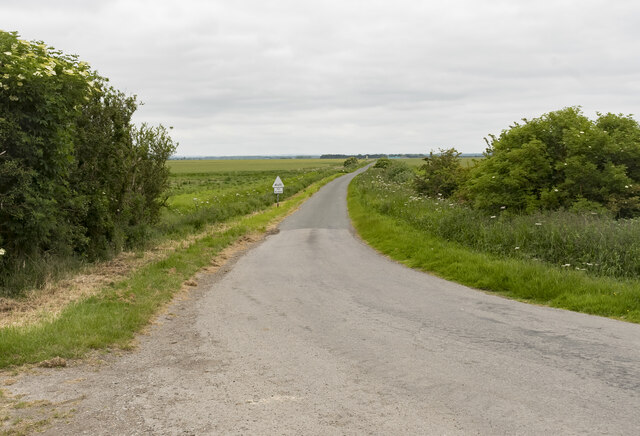
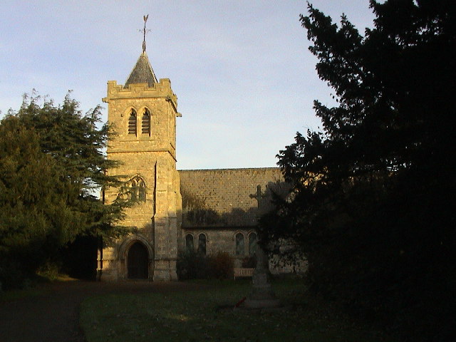
Linwood Fen Images
Images are sourced within 2km of 53.140244/-0.29824485 or Grid Reference TF1361. Thanks to Geograph Open Source API. All images are credited.


Linwood Fen is located at Grid Ref: TF1361 (Lat: 53.140244, Lng: -0.29824485)
Administrative County: Lincolnshire
District: North Kesteven
Police Authority: Lincolnshire
What 3 Words
///attends.moved.detriment. Near Woodhall Spa, Lincolnshire
Nearby Locations
Related Wikis
Martin, North Kesteven
Martin is a small village and civil parish in the North Kesteven district of Lincolnshire, England. The population at the 2011 census was 866. It lies...

Metheringham Lass
The Metheringham Lass is the name given to an apparition which has been reported at RAF Metheringham. Reports have stated that the woman, wearing a jacket...

RAF Metheringham
Royal Air Force Metheringham or more simply RAF Metheringham is a former Royal Air Force station situated between the villages of Metheringham and Martin...
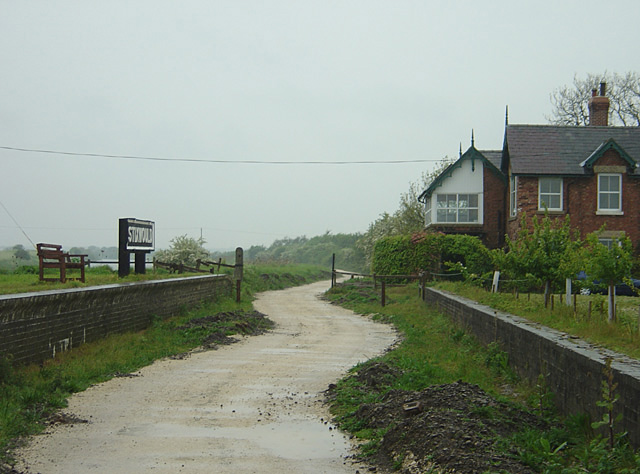
Stixwould railway station
Stixwould railway station was a station in Stixwould, Lincolnshire, England. == History == The station was also the site of the Stixwould ferry across...
Nearby Amenities
Located within 500m of 53.140244,-0.29824485Have you been to Linwood Fen?
Leave your review of Linwood Fen below (or comments, questions and feedback).