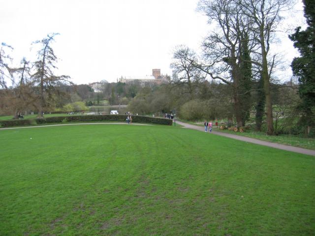
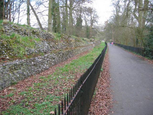
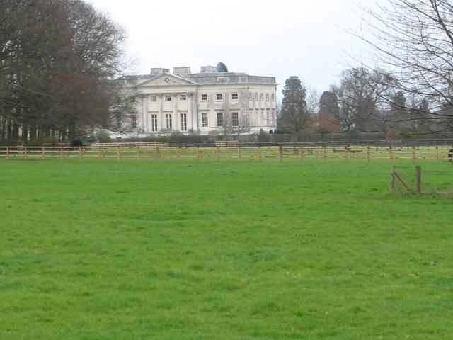
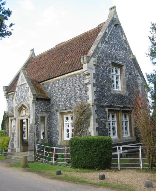
Churchyard Meadow
Downs, Moorland in Hertfordshire St. Albans
England
Churchyard Meadow
The requested URL returned error: 429 Too Many Requests
If you have any feedback on the listing, please let us know in the comments section below.
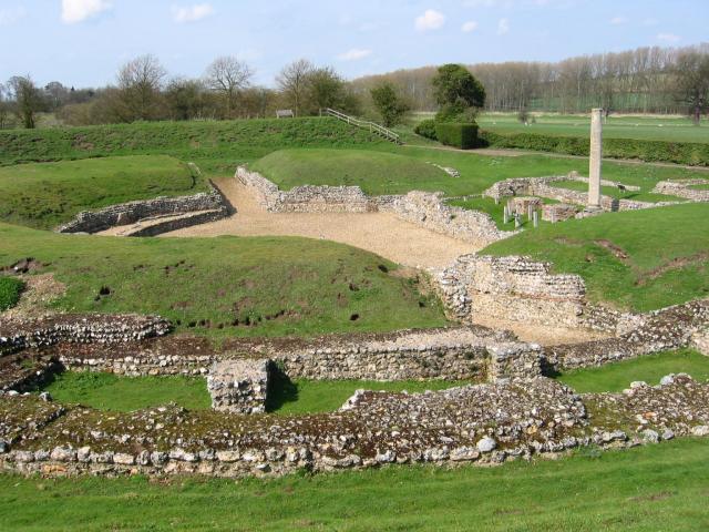
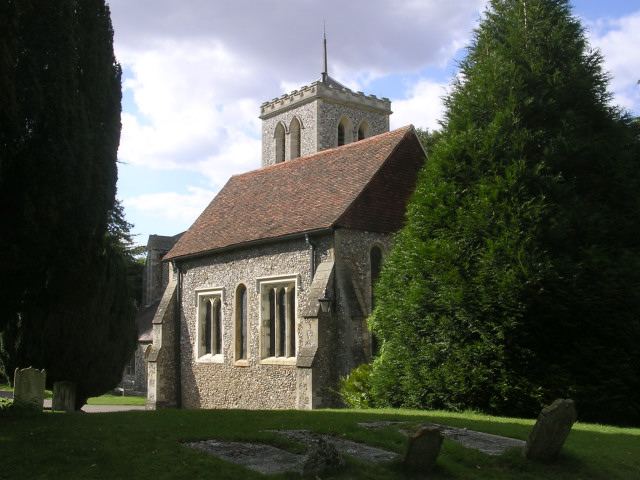
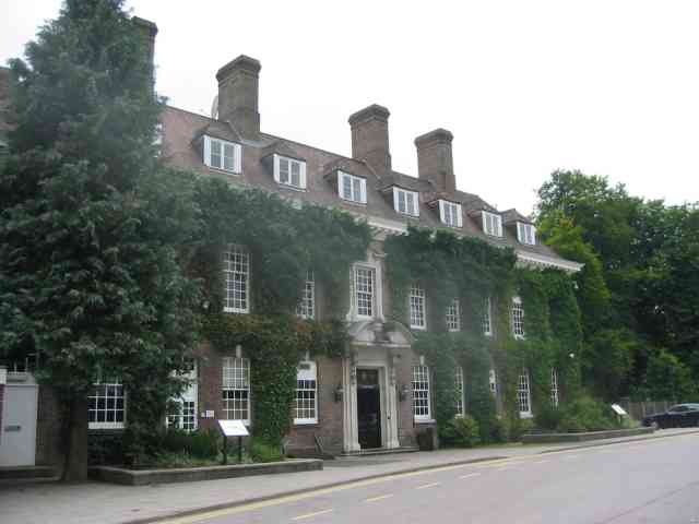
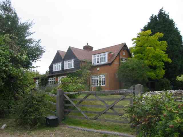
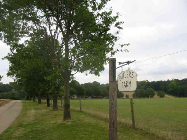
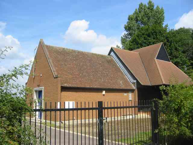
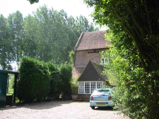
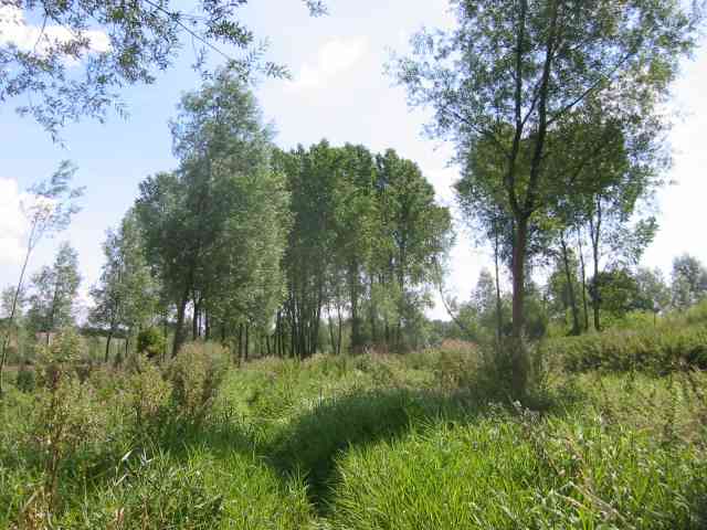
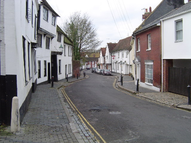
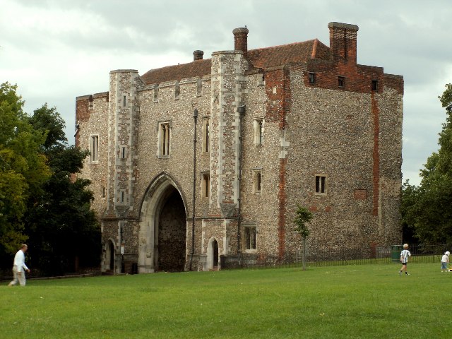
Churchyard Meadow Images
Images are sourced within 2km of 51.760782/-0.36632489 or Grid Reference TL1208. Thanks to Geograph Open Source API. All images are credited.


Churchyard Meadow is located at Grid Ref: TL1208 (Lat: 51.760782, Lng: -0.36632489)
Administrative County: Hertfordshire
District: St. Albans
Police Authority: Hertfordshire
What 3 Words
///rail.begins.trend. Near St Albans, Hertfordshire
Nearby Locations
Related Wikis

Batchwood Hall
Batchwood Hall is a manor house in St Albans, Hertfordshire == History == The house was designed in the Queen Anne style and built for Edmund Beckett,...
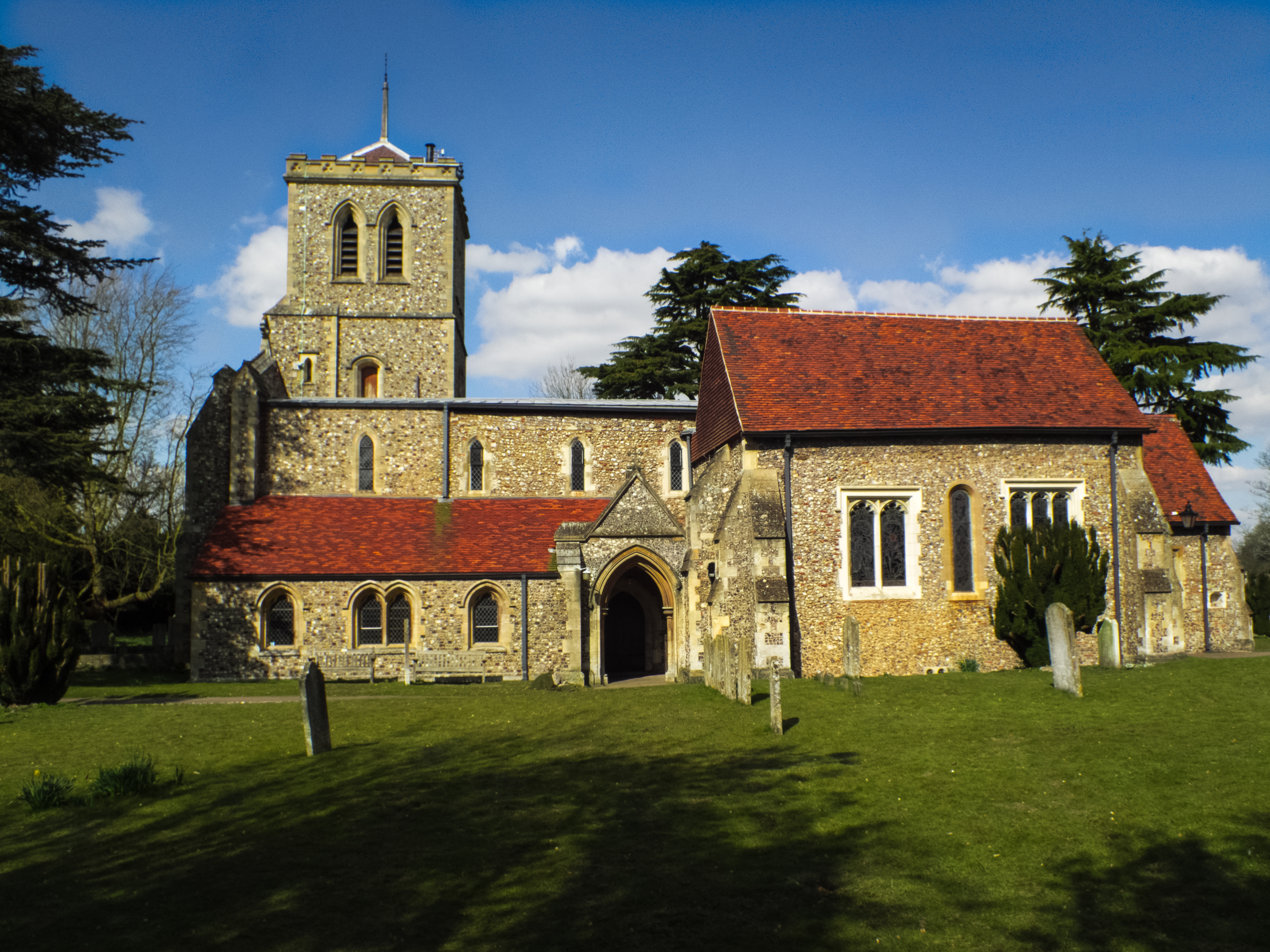
St Michael's Church, St Albans
St Michael's Church is a Church of England parish church in St Albans, Hertfordshire, England. Much of the building is late 10th or early 11th century...

The Six Bells
The Six Bells is a public house in St Michael's Street in St Albans, Hertfordshire, England. The seventeenth-century timber-framed building is situated...
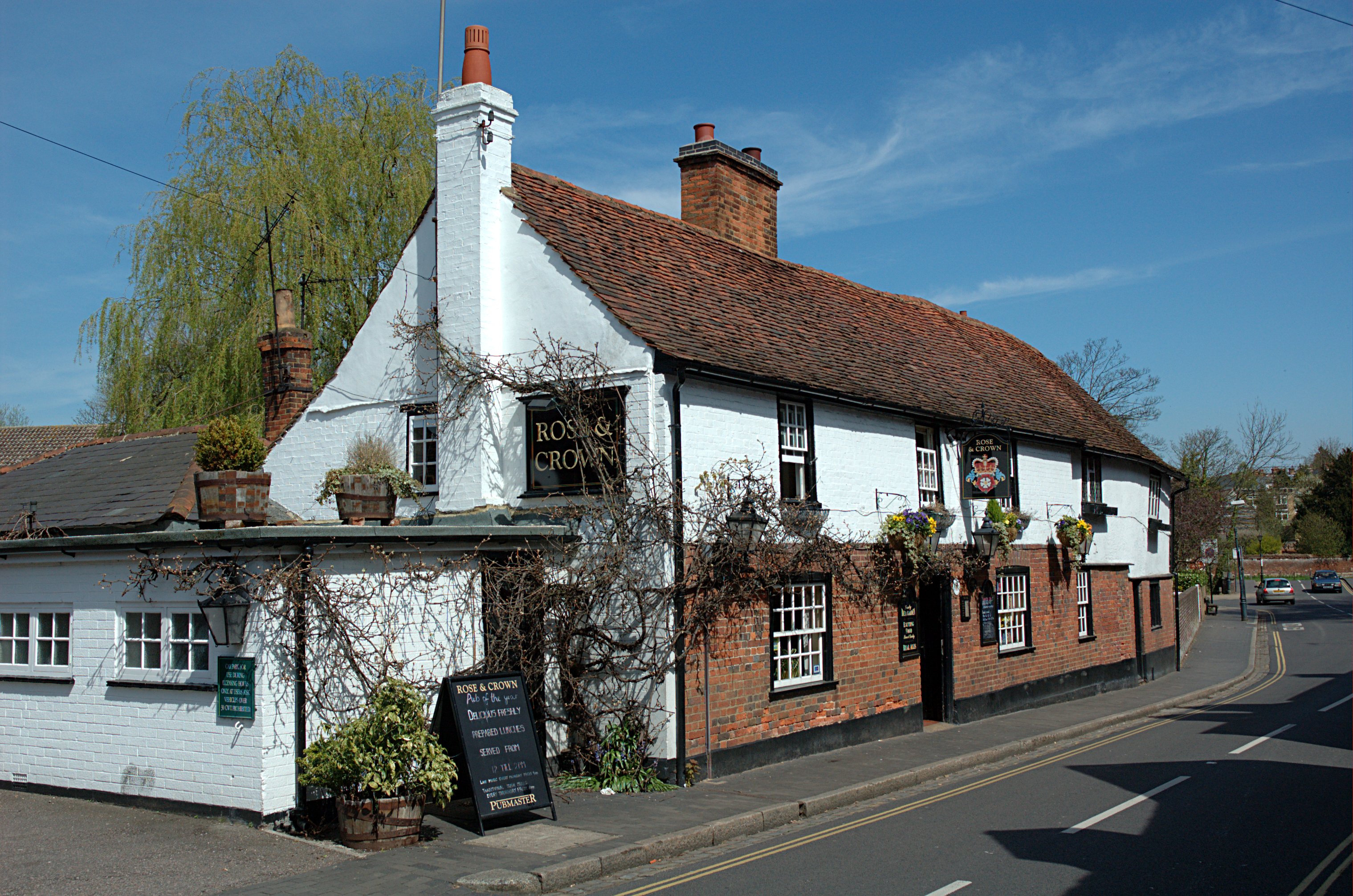
Rose and Crown, St Albans
The Rose and Crown is a public house in St Michael's Street, St Albans, Hertfordshire, England. The building appears to be eighteenth century and is listed...
Nearby Amenities
Located within 500m of 51.760782,-0.36632489Have you been to Churchyard Meadow?
Leave your review of Churchyard Meadow below (or comments, questions and feedback).