Reighton Field
Downs, Moorland in Yorkshire Scarborough
England
Reighton Field
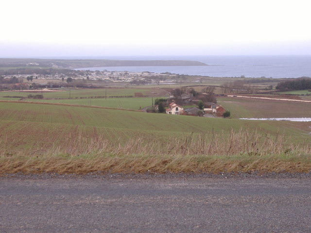
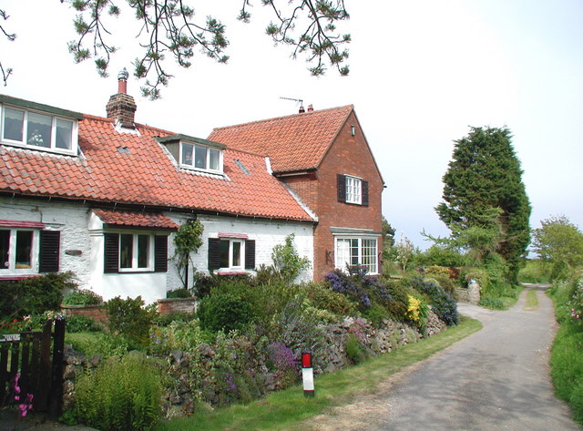
Reighton Field is a picturesque location situated in the county of Yorkshire, England. Nestled amidst the scenic Yorkshire Downs and Moorland, it offers stunning views and a serene environment for visitors to enjoy.
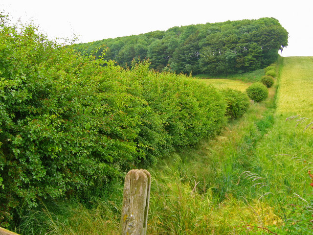
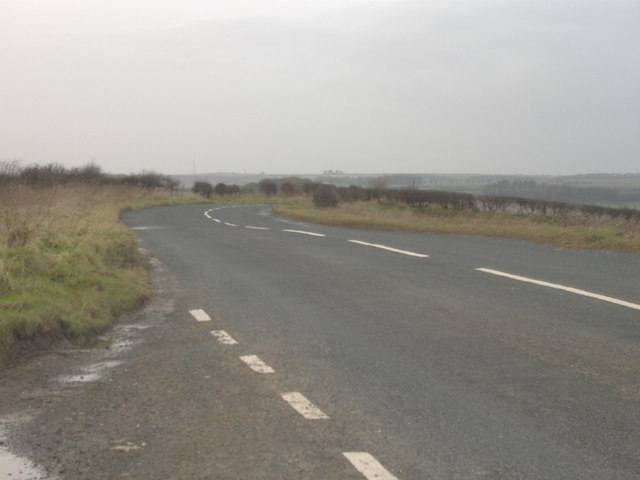
Covering an expansive area, Reighton Field is characterized by its rolling green hills, vast open spaces, and a diverse range of flora and fauna. The landscape is dotted with a patchwork of fields, divided by traditional dry stone walls, adding to the area's charm and rural appeal.
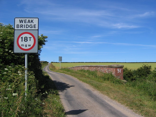
The field is particularly renowned for its rich agricultural heritage. It is a thriving hub for farming activities, with local farmers cultivating crops such as wheat, barley, and rapeseed. The fertile soil and favorable climate contribute to the high-quality produce grown in the area.
The natural beauty of Reighton Field attracts nature enthusiasts and hikers alike. The Yorkshire Downs offer excellent walking trails, enabling visitors to explore the area's stunning scenery and observe the local wildlife. The moorland, with its heather-covered hills, is home to various bird species, including grouse and curlews, making it a haven for birdwatchers.
Reighton Field is not only a haven for nature lovers but also a place of historical significance. The field is steeped in history, with archaeological sites dating back to the Bronze Age, indicating human habitation in the area for thousands of years.
Overall, Reighton Field in Yorkshire is a captivating destination that offers a blend of natural beauty, agricultural heritage, and historical significance. It provides a tranquil escape for those seeking to immerse themselves in the picturesque Yorkshire countryside.
If you have any feedback on the listing, please let us know in the comments section below.
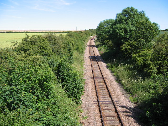
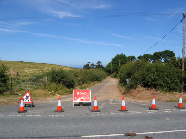
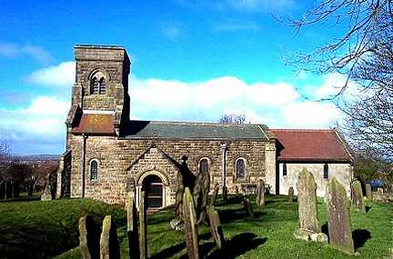
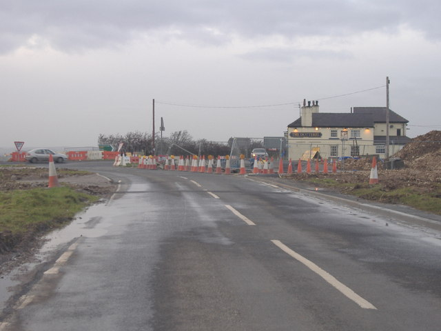
Reighton Field Images
Images are sourced within 2km of 54.153108/-0.27842046 or Grid Reference TA1274. Thanks to Geograph Open Source API. All images are credited.


Reighton Field is located at Grid Ref: TA1274 (Lat: 54.153108, Lng: -0.27842046)
Division: East Riding
Administrative County: North Yorkshire
District: Scarborough
Police Authority: North Yorkshire
What 3 Words
///healthier.tributes.sapping. Near Grindale, East Yorkshire
Nearby Locations
Related Wikis

Reighton
Reighton is a village and civil parish, in North Yorkshire, England. From the mediaeval era until the 19th century Reighton was part of Dickering Wapentake...

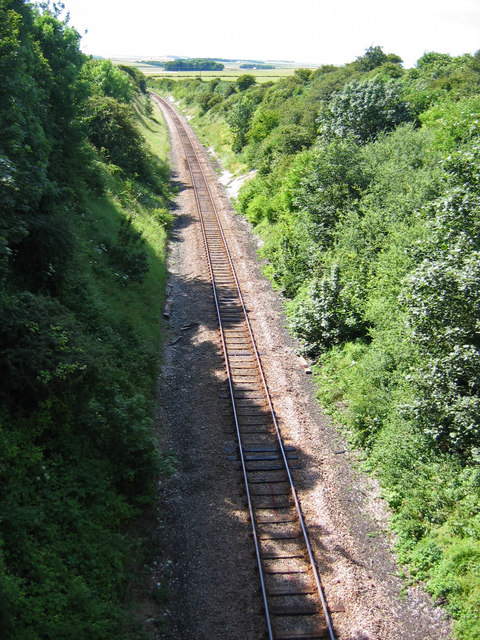
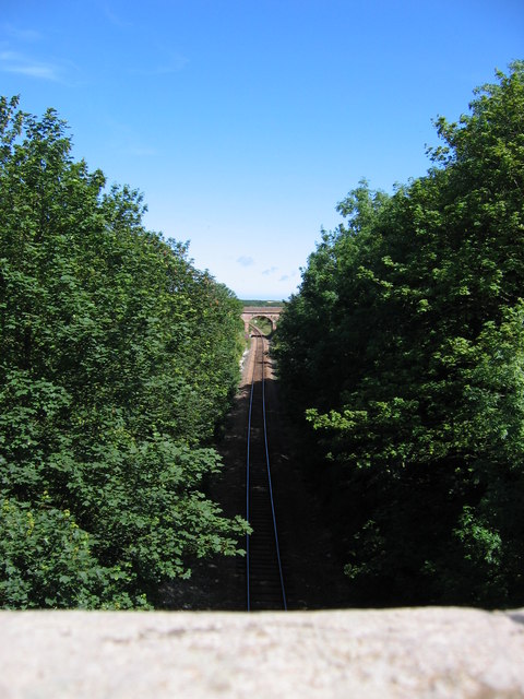
Speeton railway station
Speeton railway station served the villages of Speeton and Reighton in North Yorkshire, England. It was situated on the Yorkshire Coast Line from Scarborough...

Speeton
Speeton is a village in the civil parish of Reighton, in North Yorkshire, England. It lies near the edge of the coastal cliffs midway between Filey and...

Grindale
Grindale is a village and civil parish in the East Riding of Yorkshire, England. It is situated approximately 4 miles (6 km) north-west of Bridlington...

Butlin's Filey
Filey Holiday Camp was a Butlin's holiday camp near Filey, North Yorkshire, England, built for Billy Butlin's holiday organisation. Construction of the...

Hunmanby railway station
Hunmanby railway station serves the large village of Hunmanby in North Yorkshire, England. It is located on the Yorkshire Coast Line and is operated by...

RAF Hunmanby Moor
RAF Hunmanby Moor, (also known as RAF Filey), was a Royal Air Force training camp during the Second World War in Hunmanby, East Riding of Yorkshire, England...

Filey Holiday Camp railway station
Filey Holiday Camp railway station was a railway station built by the London and North Eastern Railway to serve Butlin's Filey Holiday Camp just south...
Nearby Amenities
Located within 500m of 54.153108,-0.27842046Have you been to Reighton Field?
Leave your review of Reighton Field below (or comments, questions and feedback).