The Field
Downs, Moorland in Lincolnshire North Kesteven
England
The Field

The requested URL returned error: 429 Too Many Requests
If you have any feedback on the listing, please let us know in the comments section below.
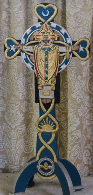
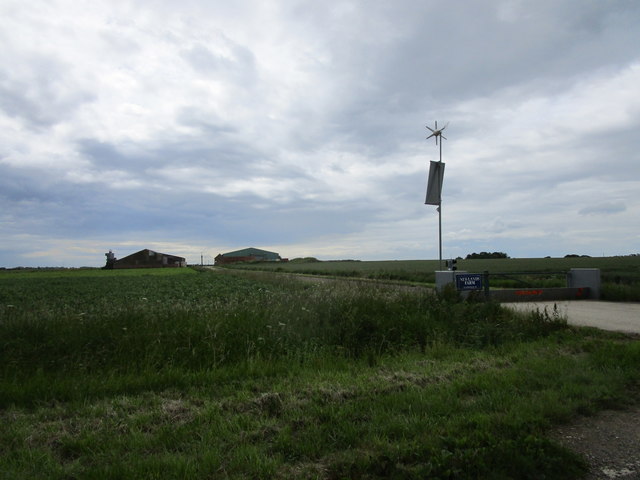
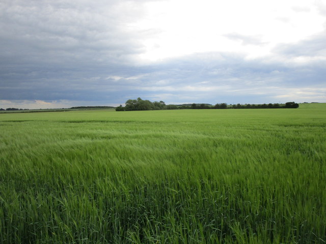
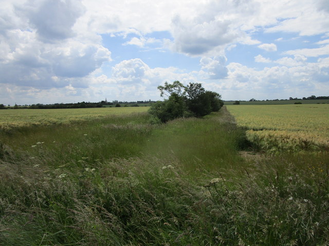
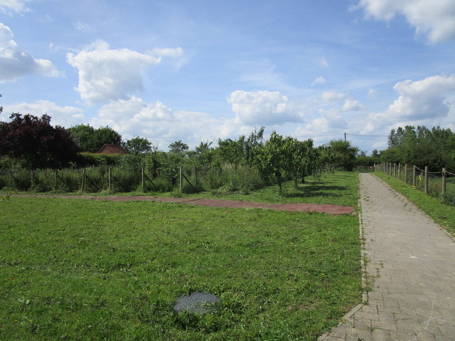
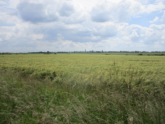
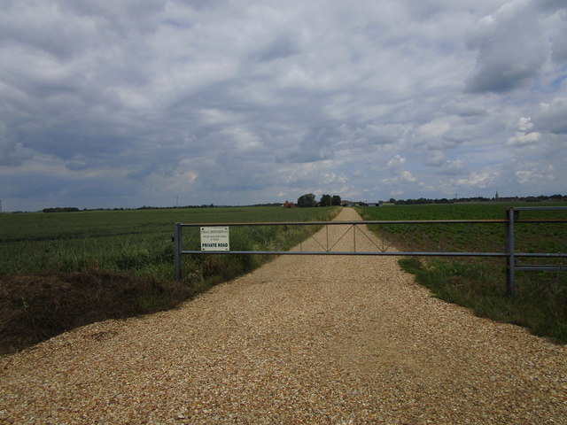
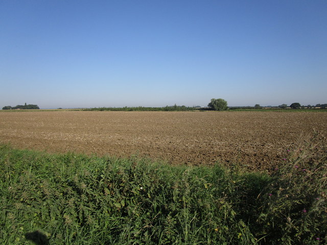
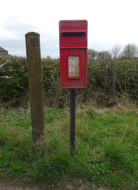
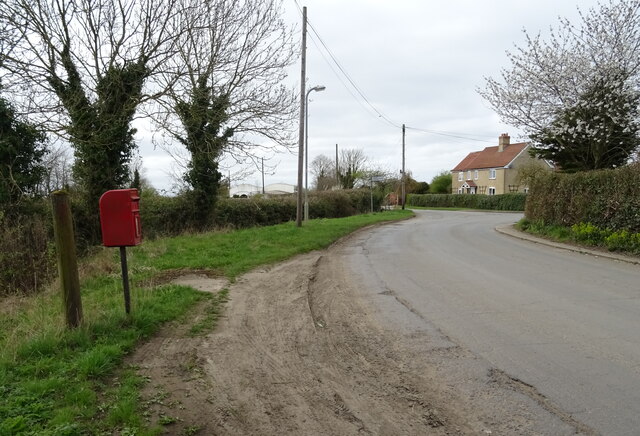
The Field Images
Images are sourced within 2km of 52.955286/-0.32653539 or Grid Reference TF1241. Thanks to Geograph Open Source API. All images are credited.


The Field is located at Grid Ref: TF1241 (Lat: 52.955286, Lng: -0.32653539)
Administrative County: Lincolnshire
District: North Kesteven
Police Authority: Lincolnshire
What 3 Words
///hedgehog.mining.majors. Near Heckington, Lincolnshire
Nearby Locations
Related Wikis
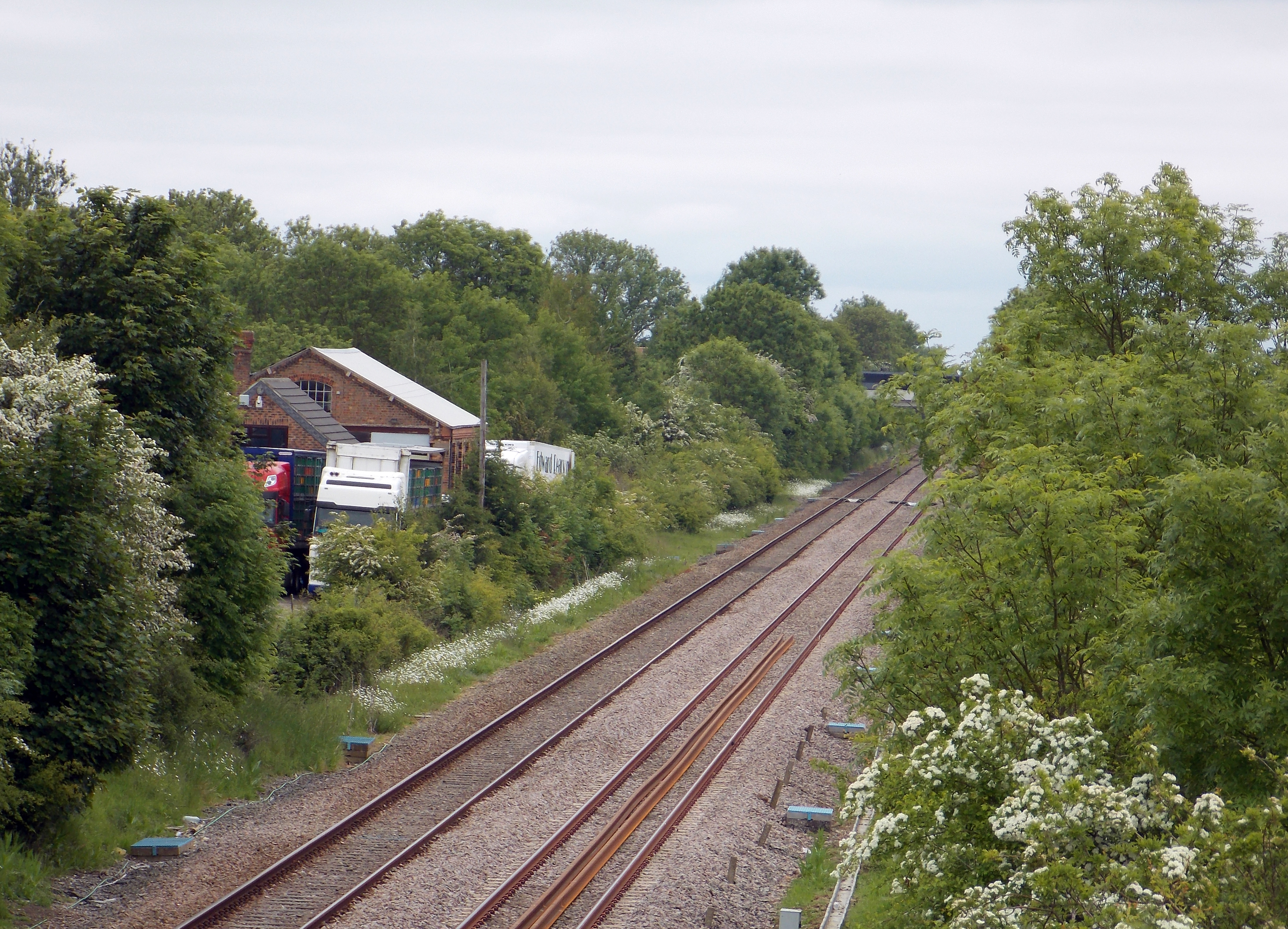
Helpringham railway station
Helpringham railway station was a station in Helpringham, Lincolnshire. The station was opened by the Great Northern and Great Eastern Joint Railway on...

Burton Pedwardine
Burton Pedwardine is a hamlet and civil parish in the district of North Kesteven, Lincolnshire, England. The population at the 2011 census was 187. The...

Helpringham
Helpringham is a village and civil parish in the North Kesteven district of Lincolnshire, England. It lies on the edge of the Fens, and 5 miles (8 km)...

Little Hale
Little Hale is a hamlet and civil parish in the North Kesteven district of Lincolnshire, England. It is situated 5 miles (8 km) south-east from the town...
Nearby Amenities
Located within 500m of 52.955286,-0.32653539Have you been to The Field?
Leave your review of The Field below (or comments, questions and feedback).