West Field

Downs, Moorland in Yorkshire

England

West Field

Track  on  the  north  side  of  Fox  Covert  Plantation
Track on the north side of Fox Covert Plantation Credit: Martin Dawes

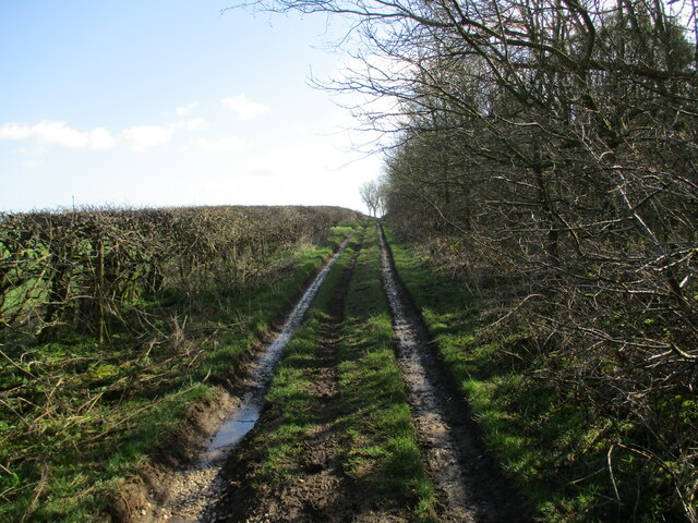
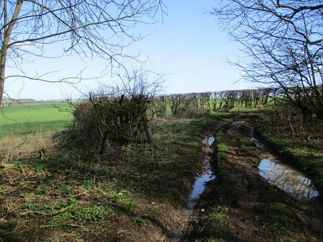
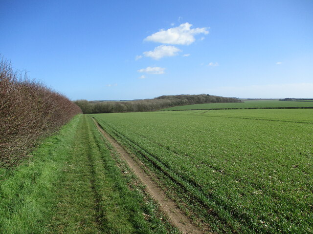
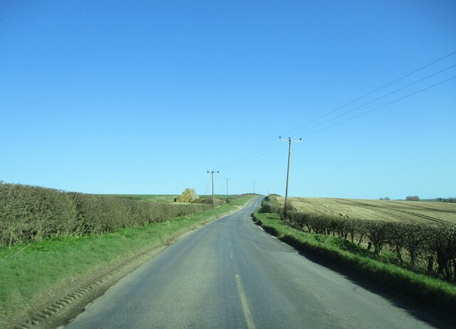
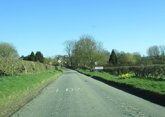
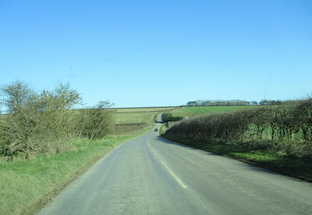
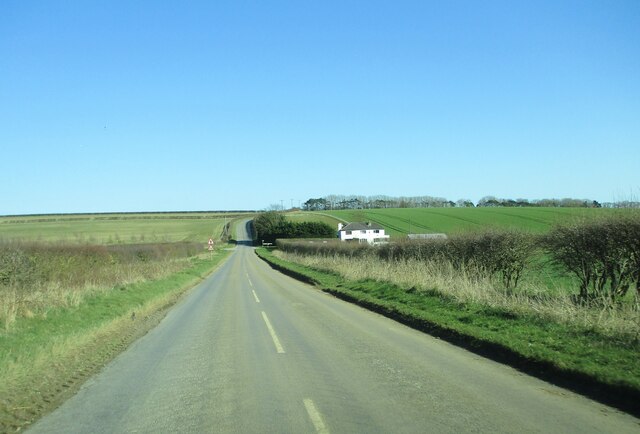
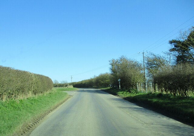
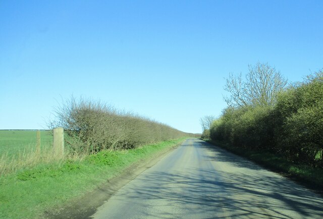
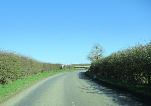
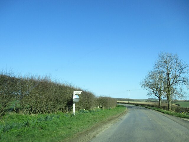
West Field in Yorkshire is a stunning expanse of countryside that combines downs, moorland, and rolling hills. Located in the northern part of England, this area is known for its breathtaking natural beauty and diverse wildlife.

The downs of West Field are characterized by their wide, open spaces and gentle slopes, making them perfect for hiking, picnicking, and enjoying the fresh air. The moorland, on the other hand, offers a more rugged and wild landscape, with heather-covered hillsides and rocky outcrops providing a haven for birdwatchers and nature enthusiasts.

Visitors to West Field can expect to see a variety of wildlife, including red grouse, curlews, and even the occasional deer or fox. The area is also home to a number of rare plant species, making it a hotspot for botanists and nature lovers.

With its stunning views, peaceful atmosphere, and abundance of outdoor activities, West Field is a must-visit destination for anyone looking to experience the natural beauty of Yorkshire.

If you have any feedback on the listing, please let us know in the comments section below.

West Field Images

Images are sourced within 2km of 54.133828/-0.28482224 or Grid Reference TA1272. Thanks to Geograph Open Source API. All images are credited.

Track  on  the  north  side  of  Fox  Covert  Plantation
Track on the north side of Fox Covert Plantation
Track  going  around  Fox  Covert  Plantation South Dale to the left
Track going around Fox Covert Plantation
South Dale to the left
Field edge  track  on  the  Yorkshire  Wolds Runs from High Caythorpe farm towards Fox Covert Plantation
Field edge track on the Yorkshire Wolds
Runs from High Caythorpe farm towards Fox Covert Plantation
Country  road  toward  Grindale The stack of straw bales to the left are on the site of an old pit
Country road toward Grindale
The stack of straw bales to the left are on the site of an old pit
Entering  Grindale  from  Burton  Fleming
Entering Grindale from Burton Fleming
Downhill  to  Argam  Crossroads Arable landscape of the Yorkshire Wolds
Downhill to Argam Crossroads
Arable landscape of the Yorkshire Wolds
Approaching  Argam  Cottages  at  the  crossroads
Approaching Argam Cottages at the crossroads
Country  road  junction  and  farm  access  entrance The road to the left goes up over Reighton Field to the A165. Just beyond the signpost on the right is the access track to Argham farm.
Country road junction and farm access entrance
The road to the left goes up over Reighton Field to the A165. Just beyond the signpost on the right is the access track to Argham farm.
Country  road  toward  Grindale Arable landscape of the Yorkshire Wolds to the left
Country road toward Grindale
Arable landscape of the Yorkshire Wolds to the left
Approaching  Witch  Lane  junction On road toward Grindale
Approaching Witch Lane junction
On road toward Grindale
Witch  Lane  junction  the  farm  access  from  Finley  Hill  farm
Witch Lane junction the farm access from Finley Hill farm
Weak bridge on North Burton Lane
Yorkshire Coast Line towards Bempton From Burton Lane Bridge.
Yorkshire Coast Line towards Bempton
From Burton Lane Bridge.
Yorkshire Coast Line towards Hunmanby and Scarborough From Burton Lane Bridge.
Yorkshire Coast Line towards Hunmanby and Scarborough
From Burton Lane Bridge.
Yorkshire Coast Line towards Bempton From the bridge near Middlefield Farm.
Yorkshire Coast Line towards Bempton
From the bridge near Middlefield Farm.
Yorkshire Coast Line towards Hunmanby and Scarborough From the bridge near Middlefield Farm.
Yorkshire Coast Line towards Hunmanby and Scarborough
From the bridge near Middlefield Farm.
National Cycle Route 1 near Middlefield Farm Towards Grindale.
National Cycle Route 1 near Middlefield Farm
Towards Grindale.
Bridge over the Yorkshire Coast Line on National Cycle Route 1
Show me another place!

West Field is located at Grid Ref: TA1272 (Lat: 54.133828, Lng: -0.28482224)

Division: East Riding

Unitary Authority: East Riding of Yorkshire

Police Authority: Humberside

What 3 Words

///patching.grins.however. Near Grindale, East Yorkshire

Nearby Locations

West Field Gosling Slack

Related Wikis

Argam

Argam, or Argham (sometimes Ergam, or Ergham), was a civil parish and village in the East Riding of Yorkshire, England. The site is listed in many historical...

Grindale

Grindale is a village and civil parish in the East Riding of Yorkshire, England. It is situated approximately 4 miles (6 km) north-west of Bridlington...

Reighton

Reighton is a village and civil parish, in North Yorkshire, England. From the mediaeval era until the 19th century Reighton was part of Dickering Wapentake...

Speeton railway station

Speeton railway station served the villages of Speeton and Reighton in North Yorkshire, England. It was situated on the Yorkshire Coast Line from Scarborough...

Nearby Amenities

Located within 500m of 54.133828,-0.28482224
old chalk pit
Historic: quarry
Mineral: chalk
Source: OS 1:25k
Lat/Long: 54.1297742/-0.2829242
Power: pole
Lat/Long: 54.1298259/-0.2874516
Power: pole
Lat/Long: 54.1298358/-0.2861809
Power: pole
Lat/Long: 54.129834/-0.2849435
Power: pole
Lat/Long: 54.1298491/-0.2842555
Power: pole
Lat/Long: 54.1296738/-0.2829088
The data included in this document is from www.openstreetmap.org. The data is made available under ODbL.

Have you been to West Field?

Leave your review of West Field below (or comments, questions and feedback).