First Field
Downs, Moorland in Lincolnshire South Kesteven
England
First Field
First Field, Lincolnshire is a picturesque area located in the eastern part of England. Nestled between the rolling Downs and Moorland, it offers a diverse landscape that is rich in natural beauty and historical significance.
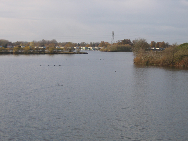
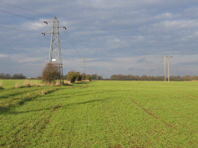
The Downs in First Field are characterized by their gently sloping hills and expansive grasslands. These open spaces are perfect for recreational activities such as hiking, picnicking, and birdwatching. The Downs also provide a habitat for a variety of wildlife, including rabbits, foxes, and numerous bird species. The panoramic views from the top of the Downs are breathtaking, allowing visitors to admire the surrounding countryside.
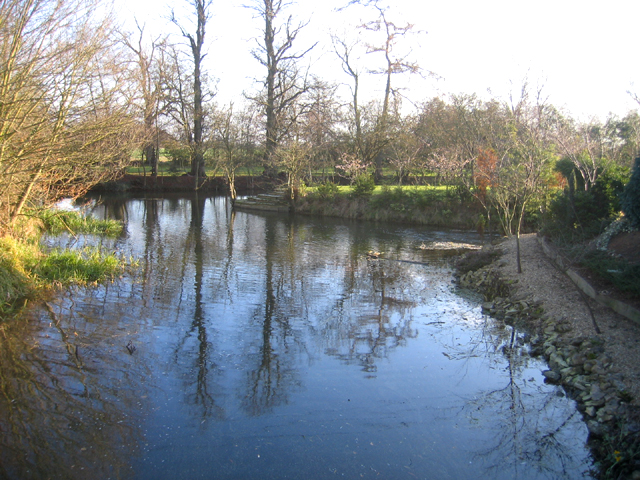
In contrast, the Moorland in First Field offers a more rugged and wild terrain. Covered in heather, gorse, and other hardy vegetation, the Moorland is home to a range of unique plants and animals. Visitors can explore the winding trails that traverse the Moorland, immersing themselves in its untamed beauty. The area is also known for its historical significance, with ancient burial mounds and stone circles dotting the landscape, offering a glimpse into the region's past.
First Field, Lincolnshire is a haven for nature lovers and outdoor enthusiasts. Its diverse landscapes, from the gentle slopes of the Downs to the wild beauty of the Moorland, provide endless opportunities for exploration and relaxation. Whether it's a peaceful walk in the countryside or an adventure through the untamed wilderness, First Field offers a truly memorable experience for visitors of all ages.
If you have any feedback on the listing, please let us know in the comments section below.
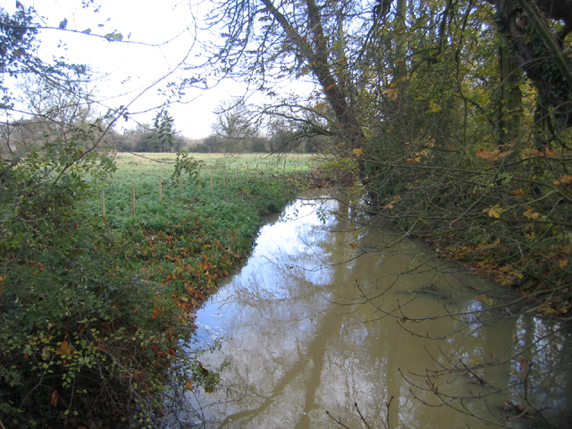
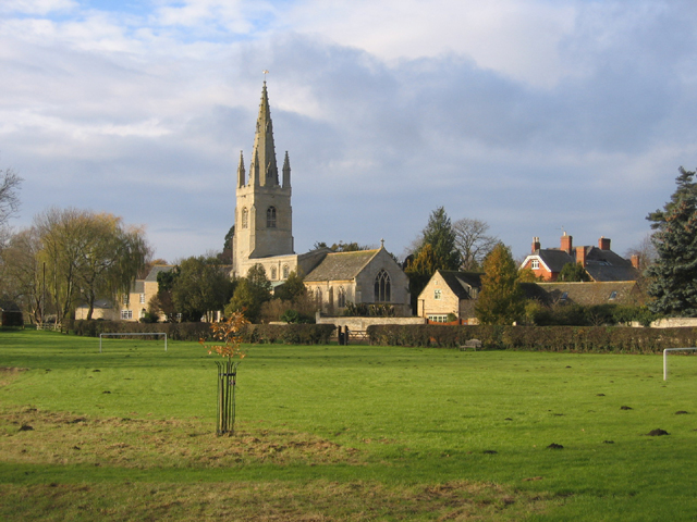
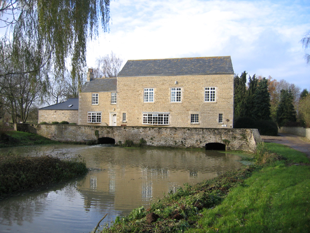
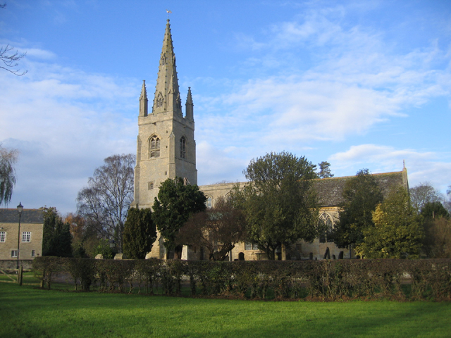
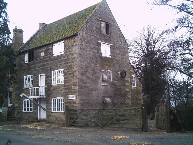
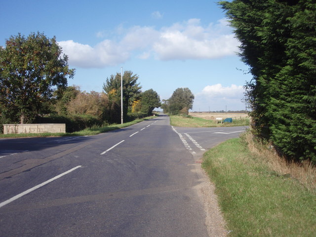
First Field Images
Images are sourced within 2km of 52.674529/-0.3449317 or Grid Reference TF1209. Thanks to Geograph Open Source API. All images are credited.


First Field is located at Grid Ref: TF1209 (Lat: 52.674529, Lng: -0.3449317)
Administrative County: Lincolnshire
District: South Kesteven
Police Authority: Lincolnshire
What 3 Words
///positions.compounds.swing. Near Market Deeping, Lincolnshire
Nearby Locations
Related Wikis

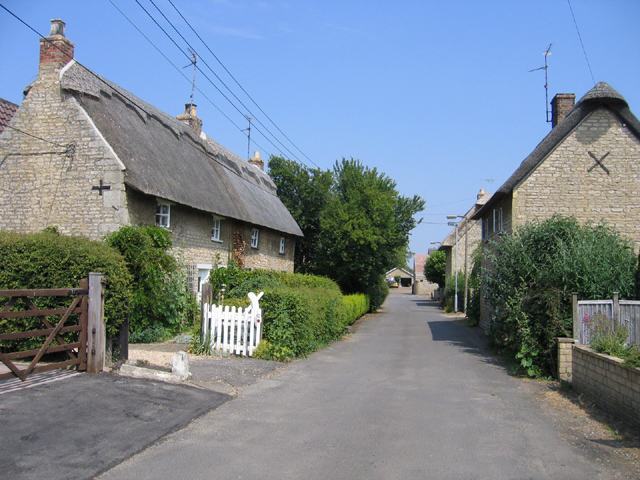
West Deeping
West Deeping is a village and civil parish in the South Kesteven district of Lincolnshire, England. The population of the civil parish at the 2011 census...

Maxey Castle
Maxey Castle was a medieval fortified manor house castle in Maxey, Cambridgeshire, England. == Details == Maxey Castle was built around the 1370s by William...

St Guthlac's Church, Market Deeping
Saint Guthlac's Church, Market Deeping is a parish church of the Church of England in Market Deeping, Lincolnshire, England. == Background == The largely...

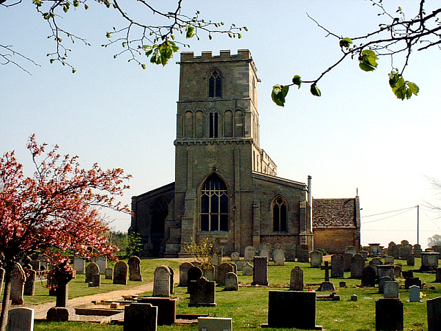
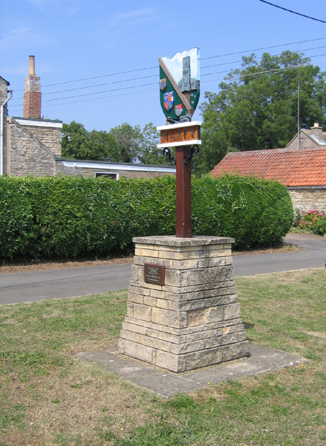
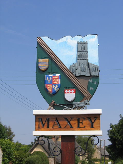
Maxey, Cambridgeshire
Maxey is a village in the Peterborough unitary authority, in the ceremonial county of Cambridgeshire, England, located between Peterborough and Stamford...

Market Deeping Town Hall
Market Deeping Town Hall is a municipal structure in the Market Place, Market Deeping, Lincolnshire, England. The structure, which is the meeting place...

Market Deeping
Market Deeping is a market town and civil parish in the South Kesteven district of Lincolnshire, England, on the north bank of the River Welland and the...

Lolham
Lolham is a hamlet in the City of Peterborough in England, located between Peterborough and Stamford on the border of Cambridgeshire and Lincolnshire....
King Street (Roman road)
King Street is the name of a modern road on the line of a Roman road. It runs on a straight course in eastern England, between the City of Peterborough...
Nearby Amenities
Located within 500m of 52.674529,-0.3449317Have you been to First Field?
Leave your review of First Field below (or comments, questions and feedback).