Dorrington Fen
Downs, Moorland in Lincolnshire North Kesteven
England
Dorrington Fen
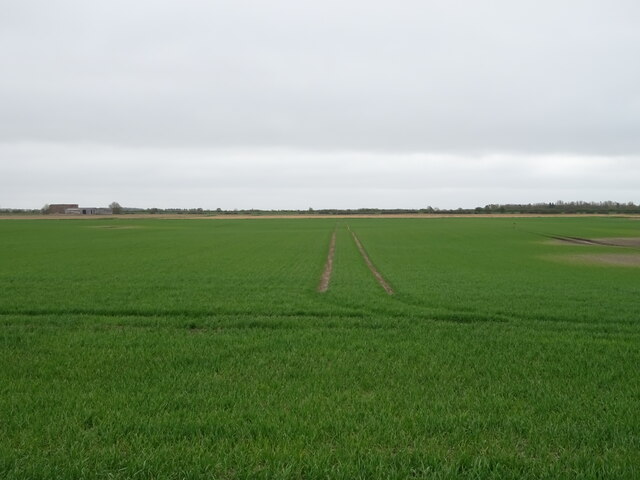
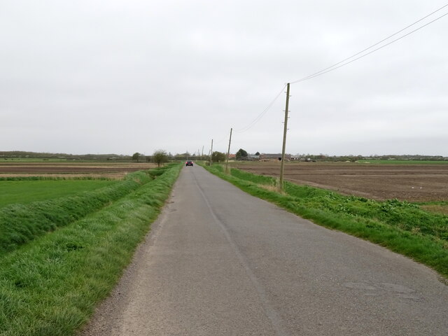
Dorrington Fen is a scenic area located in Lincolnshire, England. It is characterized by its diverse landscapes, consisting of downs and moorland. Spanning over a vast expanse, Dorrington Fen offers visitors an opportunity to immerse themselves in the natural beauty and tranquility of the countryside.
The downs of Dorrington Fen are rolling hills covered in lush grasses and scattered with wildflowers. This terrain provides a picturesque backdrop for leisurely walks and hikes, allowing visitors to explore the area at their own pace. The downs also offer stunning panoramic views of the surrounding countryside, making it a popular spot for photography enthusiasts.
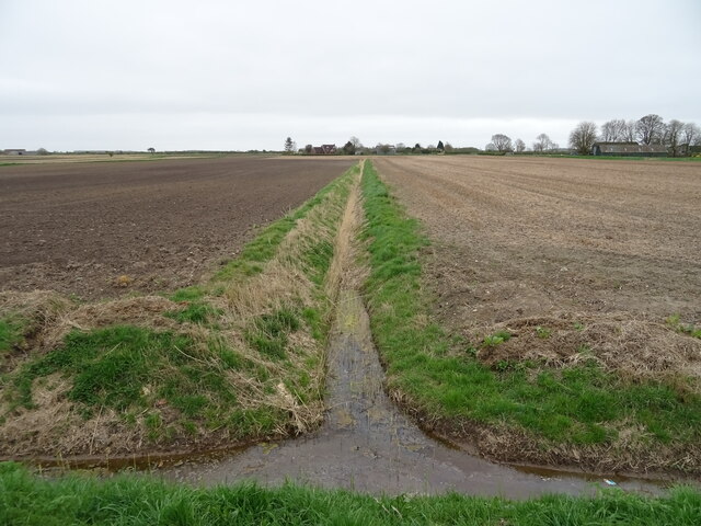
In contrast, the moorland of Dorrington Fen boasts a more rugged and untamed landscape. It is characterized by its open expanses of heather, bracken, and gorse bushes. The moorland is home to a wide variety of wildlife, including rare bird species and small mammals, making it a haven for nature lovers and birdwatchers.
Dorrington Fen is also home to several walking trails and nature reserves, offering visitors the chance to observe and appreciate the diverse flora and fauna that inhabit the area. These reserves are managed to protect the delicate ecosystems and provide a safe haven for endangered species.
Overall, Dorrington Fen in Lincolnshire is a breathtaking destination for those seeking to escape the hustle and bustle of city life. With its stunning downs and untamed moorland, it offers a unique and unforgettable experience for nature enthusiasts and outdoor enthusiasts alike.
If you have any feedback on the listing, please let us know in the comments section below.
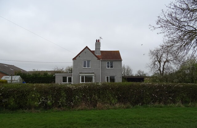
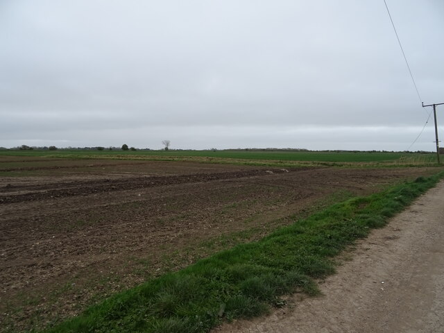
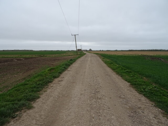
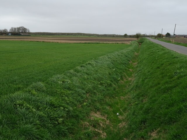
Dorrington Fen Images
Images are sourced within 2km of 53.068899/-0.33005989 or Grid Reference TF1153. Thanks to Geograph Open Source API. All images are credited.


Dorrington Fen is located at Grid Ref: TF1153 (Lat: 53.068899, Lng: -0.33005989)
Administrative County: Lincolnshire
District: North Kesteven
Police Authority: Lincolnshire
What 3 Words
///stopwatch.feared.sadly. Near Billinghay, Lincolnshire
Nearby Locations
Related Wikis

Catley Priory
Catley Priory was a monastic house in Walcott, Lincolnshire, England. The Gilbertine priory of Saint Mary, Catley, was founded as a double house for...

North Ings Farm Museum
The North Ings Farm Museum is a working farm museum containing a 2 ft (610 mm) narrow gauge railway, running on a circuit of 1⁄4 mile (0.40 km). It is...

RAF Anwick
Royal Air Force Anwick or more simply RAF Anwick is a former Second World War faux Royal Air Force decoy station near the village of Anwick, 21.3 mi (34...

Walcott, Lincolnshire
Walcott is a small village and civil parish in the North Kesteven district of Lincolnshire, England. The population of the civil parish at the 2011 census...

Anwick
Anwick is a small village and civil parish in the North Kesteven district of Lincolnshire, England. The population of the civil parish at the 2011 census...

North Kyme
North Kyme is a village and civil parish in the North Kesteven district of Lincolnshire, England. The civil parish had a population of 431 at the 2011...

Digby railway station
Digby railway station was a railway station in Digby, Lincolnshire, which was open between 1882 and 1961. == History == The railway line between Sleaford...

Billinghay
Billinghay is a village and civil parish in the North Kesteven district of Lincolnshire, England. The village is situated approximately 7 miles (11 km...
Nearby Amenities
Located within 500m of 53.068899,-0.33005989Have you been to Dorrington Fen?
Leave your review of Dorrington Fen below (or comments, questions and feedback).