Metheringham Fen

Downs, Moorland in Lincolnshire North Kesteven

England

Metheringham Fen

Blankney Fen
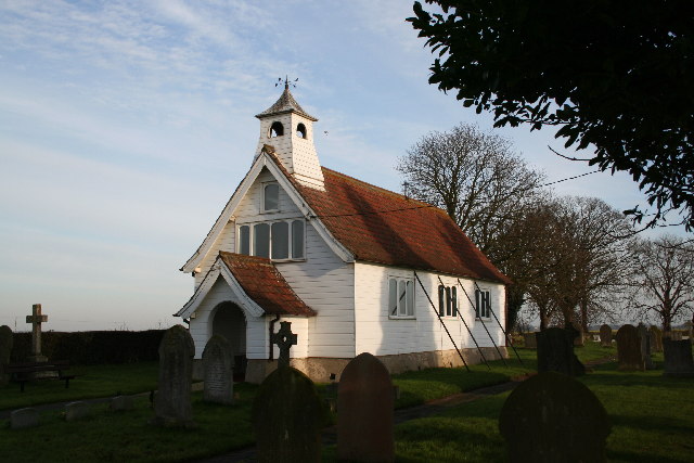
Blankney Fen Credit: Jonathan Thacker

Metheringham Fen, located in Lincolnshire, England, is a unique natural area characterized by its diverse landscapes of downs, moorland, and wetlands. Covering an approximate area of 1,500 acres, it is renowned for its rich biodiversity and stunning vistas.

The fen is primarily composed of wet grasslands, which provide a thriving habitat for a wide range of flora and fauna. The wetlands are home to numerous species of waterbirds, such as herons, ducks, and swans, making it a popular destination for birdwatchers and wildlife enthusiasts. The fen also boasts an array of wildflowers, including orchids, marsh marigolds, and cotton grass, which add vibrant colors to the landscape during the summer months.

In addition to the wetlands, the fen features areas of low-lying moorland, characterized by heather and gorse. These moorlands provide a unique habitat for various species of reptiles, including adders and grass snakes. The undulating downs offer breathtaking views of the surrounding countryside, with rolling hills and valleys that create a picturesque setting.

Metheringham Fen is also home to several walking trails, enabling visitors to explore and appreciate the natural beauty of the area. These trails cater to different levels of difficulty, allowing both casual walkers and more experienced hikers to enjoy the fen's landscapes and wildlife.

Overall, Metheringham Fen offers a captivating blend of wetlands, moorland, and downs, providing a haven for a diverse range of plants and animals. With its stunning scenery and abundant wildlife, it is a must-visit destination for nature lovers and those seeking a tranquil escape in the heart of Lincolnshire.

If you have any feedback on the listing, please let us know in the comments section below.

Metheringham Fen Images

Images are sourced within 2km of 53.162077/-0.3284347 or Grid Reference TF1164. Thanks to Geograph Open Source API. All images are credited.

Blankney Fen
Blankney Fen
Grasses on Metheringham Delph Metheringham Delph Nature Reserve
Grasses on Metheringham Delph
Metheringham Delph Nature Reserve
Blankney North Drove Looking northeast to Blankney Fen Farm
Blankney North Drove
Looking northeast to Blankney Fen Farm
Metheringham Fen Looking northeast on Metheringham Fen Lane
Metheringham Fen
Looking northeast on Metheringham Fen Lane
Metheringham Fen From Metheringham Fen Lane,  Timberland Wood is visible on the skyline centre frame 4km southeast
Metheringham Fen
From Metheringham Fen Lane, Timberland Wood is visible on the skyline centre frame 4km southeast
Metheringham Fen The footpath from Metheringham Fen Lane to Dunston Fen Lane
Metheringham Fen
The footpath from Metheringham Fen Lane to Dunston Fen Lane
Metheringham Fen Looking northeast on Metheringham Fen Lane toward Engine Farm
Metheringham Fen
Looking northeast on Metheringham Fen Lane toward Engine Farm
Sots Hole seen from the west on Metheringham Fen Lane
Sots Hole
seen from the west on Metheringham Fen Lane
Metheringham Fen Looking southwest on Metheringham Fen Lane
Metheringham Fen
Looking southwest on Metheringham Fen Lane
Metheringham Fen Looking northeast on Metheringham Fen Lane at the Tanvats footpath
Metheringham Fen
Looking northeast on Metheringham Fen Lane at the Tanvats footpath
Metheringham Fen Looking north east on Little Drove from School Farm corner
Metheringham Fen
Looking north east on Little Drove from School Farm corner
Metheringham Fen Farmland south of Little Drove
Metheringham Fen
Farmland south of Little Drove
Metheringham Fen Looking northeast on Little Drove
Metheringham Fen
Looking northeast on Little Drove
Sots Hole Looking northwest from the Tanvats road
Sots Hole
Looking northwest from the Tanvats road
Dunston Fen This footpath runs south from Dunston Fen Lane
Dunston Fen
This footpath runs south from Dunston Fen Lane
Dunston Fen Looking northeast on Dunston Fen Lane
Dunston Fen
Looking northeast on Dunston Fen Lane
Dunston Fen Looking northeast on Dunston Fen Lane. Poplar Farm is just over the gridsquare boundary.
Dunston Fen
Looking northeast on Dunston Fen Lane. Poplar Farm is just over the gridsquare boundary.
Show me another place!

Metheringham Fen is located at Grid Ref: TF1164 (Lat: 53.162077, Lng: -0.3284347)

Administrative County: Lincolnshire

District: North Kesteven

Police Authority: Lincolnshire

What 3 Words

///petulant.older.olive. Near Bardney, Lincolnshire

Nearby Locations

Metheringham Fen

Related Wikis

Metheringham Lass

The Metheringham Lass is the name given to an apparition which has been reported at RAF Metheringham. Reports have stated that the woman, wearing a jacket...

RAF Metheringham

Royal Air Force Metheringham or more simply RAF Metheringham is a former Royal Air Force station situated between the villages of Metheringham and Martin...

Southrey railway station

Southrey railway station is a former station in Southrey, Lincolnshire. == History == The station was opened on 17 October 1848 as part of the new 58 miles...

Southrey

Southrey is a village in the civil parish of Bardney in the West Lindsey district of Lincolnshire, England, and approximately 2 miles (3 kilometres) south...

Nearby Amenities

Located within 500m of 53.162077,-0.3284347
Power: pole
Source: Bing
Lat/Long: 53.1617889/-0.3290534
Power: pole
Source: Bing
Lat/Long: 53.1605868/-0.3340289
Power: pole
Source: Bing
Lat/Long: 53.161485/-0.3303221
Power: pole
Source: Bing
Lat/Long: 53.1629179/-0.3243286
Power: pole
Source: Bing
Lat/Long: 53.1611794/-0.3315854
Power: pole
Source: Bing
Lat/Long: 53.1620977/-0.3277806
Power: pole
Source: Bing
Lat/Long: 53.1635474/-0.3217712
Power: pole
Source: Bing
Lat/Long: 53.1626501/-0.3254512
Power: pole
Source: Bing
Lat/Long: 53.1608908/-0.3327669
Power: pole
Source: Bing
Lat/Long: 53.1632113/-0.3231069
Power: pole
Source: Bing
Lat/Long: 53.1623671/-0.3266354
Power: pole
Source: Bing
Lat/Long: 53.1627444/-0.32107
Mill Farm
Place: farm
Source: Bing
Lat/Long: 53.16411/-0.3229898
Sots Hole
Place: hamlet
Source: Bing
Lat/Long: 53.1641429/-0.3249776
The Old Cottage
Place: isolated_dwelling
Source: Bing
Lat/Long: 53.162723/-0.3317629
The data included in this document is from www.openstreetmap.org. The data is made available under ODbL.

Have you been to Metheringham Fen?

Leave your review of Metheringham Fen below (or comments, questions and feedback).