Martin Moor

Downs, Moorland in Lincolnshire North Kesteven

England

Martin Moor

Holy Trinity church, Martin The door has changed colour in the last 10 years, <a href="https://www.geograph.org.uk/photo/3381003">TF1259 : Holy Trinity Church, Martin</a> but still locked tight and unwelcoming.
Holy Trinity church, Martin Credit: Julian P Guffogg

Martin Moor is a picturesque area located in Lincolnshire, a county in eastern England. Situated in the district of West Lindsey, it is known for its stunning downs and moorland landscapes that attract nature enthusiasts and outdoor adventurers alike.

The downs in Martin Moor offer breathtaking views of rolling hills covered in lush green grass and scattered with wildflowers. These open spaces provide ample opportunities for hiking, picnicking, and enjoying the fresh country air. The moorland, on the other hand, features vast expanses of heather and bracken, creating a distinct and rugged atmosphere.

The area is home to a rich variety of flora and fauna, making it a haven for wildlife enthusiasts. Visitors can spot a range of bird species, including skylarks and lapwings, soaring above the downs. Additionally, the moorland provides habitat for small mammals like rabbits and stoats, as well as reptiles such as adders and common lizards.

Martin Moor is also steeped in history. The area is dotted with ancient burial mounds and archaeological sites, giving visitors a glimpse into its past. These sites offer a fascinating insight into the lives of the people who once inhabited this area.

In terms of accessibility, Martin Moor is conveniently located near the village of Martin, providing easy access to amenities such as shops, cafes, and accommodation options. Its tranquil and unspoiled landscapes make it a perfect destination for those seeking a peaceful retreat or a place to connect with nature.

If you have any feedback on the listing, please let us know in the comments section below.
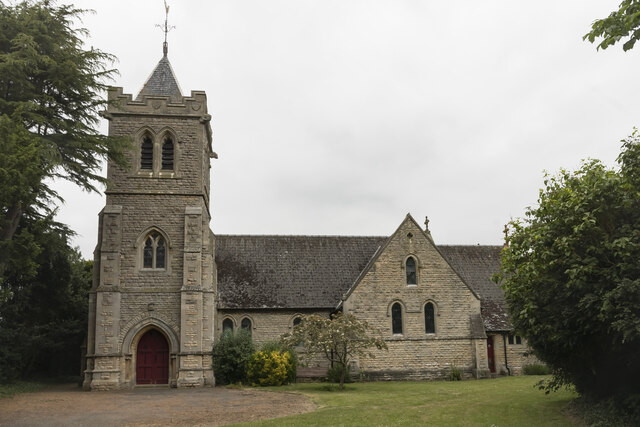
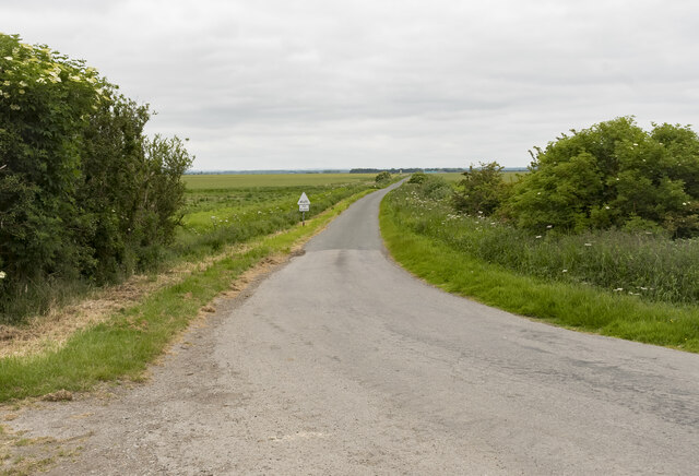
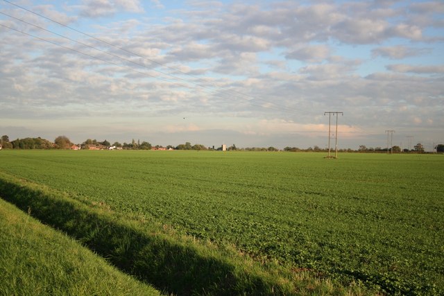
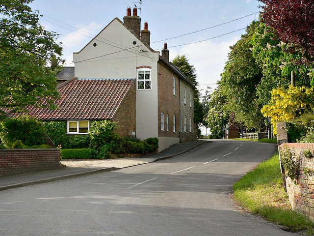
Martin Moor Images

Images are sourced within 2km of 53.123814/-0.33797502 or Grid Reference TF1159. Thanks to Geograph Open Source API. All images are credited.

Holy Trinity church, Martin The door has changed colour in the last 10 years, <a href="https://www.geograph.org.uk/photo/3381003">TF1259 : Holy Trinity Church, Martin</a> but still locked tight and unwelcoming.
Holy Trinity church, Martin
The door has changed colour in the last 10 years, TF1259 : Holy Trinity Church, Martin but still locked tight and unwelcoming.
Disused RAF Metheringham airfield: aerial 2022
Martin North Drove Heading in the direction of Martin Dales.
Martin North Drove
Heading in the direction of Martin Dales.
Blankney Drove Looking towards Carr Dyke Farm.
Blankney Drove
Looking towards Carr Dyke Farm.
Metheringham Airfield Visitor Centre
Timberland Fen
Timberland Fen
Timberland The Post Office
Timberland
The Post Office
Timberland The Penny Farthing <span class="nowrap"><a title="http://www.martintimberland.co.uk/timberland/penny/penny.php" rel="nofollow ugc noopener" href="http://www.martintimberland.co.uk/timberland/penny/penny.php">Link</a><img style="margin-left:2px;" alt="External link" title="External link - shift click to open in new window" src="https://s1.geograph.org.uk/img/external.png" width="10" height="10"/></span>
Timberland
The Penny Farthing LinkExternal link
Martin Holy Trinity Church
Martin
Holy Trinity Church
Car Dyke Looking northwest. The distant culvert is a few metres into TF1260.
Car Dyke
Looking northwest. The distant culvert is a few metres into TF1260.
View towards Timberland View from Long Holt towards Timberland with St.Andrew's church tower on the centre horizon
View towards Timberland
View from Long Holt towards Timberland with St.Andrew's church tower on the centre horizon
The western edge of Martin village The yellow panels of the speed restriction signs almost blend into the yellow rape.
The western edge of Martin village
The yellow panels of the speed restriction signs almost blend into the yellow rape.
Houghton House, Timberland ,Lincoln Formerly known as the Houghton Arms this used to be one of Timberlands village pubs
Houghton House, Timberland ,Lincoln
Formerly known as the Houghton Arms this used to be one of Timberlands village pubs
Timberland farmland Rural view at Timberland
Timberland farmland
Rural view at Timberland
Timberland hedgeline
St.Andrew's church Early 13th century tower and later medieval church extensively restored by Goddard in 1887
St.Andrew's church
Early 13th century tower and later medieval church extensively restored by Goddard in 1887
St.Andrew's church tower Early 13th century Transitional / Early English tower to St.Andrew's church with bold buttresses
St.Andrew's church tower
Early 13th century Transitional / Early English tower to St.Andrew's church with bold buttresses
Timberland War Memorial On a buttress of St.Andrew's church tower <a title="https://www.geograph.org.uk/photo/695028" href="https://www.geograph.org.uk/photo/695028">Link</a>
Timberland War Memorial
On a buttress of St.Andrew's church tower Link
Show me another place!

Martin Moor is located at Grid Ref: TF1159 (Lat: 53.123814, Lng: -0.33797502)

Administrative County: Lincolnshire

District: North Kesteven

Police Authority: Lincolnshire

What 3 Words

///lamenting.quality.book. Near Metheringham, Lincolnshire

Nearby Locations

Martin Moor

Related Wikis

Martin, North Kesteven

Martin is a small village and civil parish in the North Kesteven district of Lincolnshire, England. The population at the 2011 census was 866. It lies...

Timberland, Lincolnshire

Timberland is a village in the North Kesteven district of Lincolnshire, England. The population of the civil parish (including Thorpe Tilney) at the 2011...

Metheringham Lass

The Metheringham Lass is the name given to an apparition which has been reported at RAF Metheringham. Reports have stated that the woman, wearing a jacket...

RAF Metheringham

Royal Air Force Metheringham or more simply RAF Metheringham is a former Royal Air Force station situated between the villages of Metheringham and Martin...

Nearby Amenities

Located within 500m of 53.123814,-0.33797502
Source: OS_OpenData _StreetView
Lat/Long: 53.1247091/-0.3309511
Source: OS_OpenData _StreetView
Lat/Long: 53.1244866/-0.333235
Source: OS_OpenData _StreetView
Lat/Long: 53.124617/-0.3347535
Source: OS_OpenData _StreetView
Lat/Long: 53.124606/-0.3369691
Source: OS_OpenData _StreetView
Lat/Long: 53.1237155/-0.3438102
Source: OS_OpenData _StreetView
Lat/Long: 53.1235226/-0.3447542
Bus Stop
West Grove
Bench: no
Bin: no
Lit: no
Naptan AtcoCode: 270000009049
Naptan Bearing: W
Naptan CommonName: West Grove
Naptan Indicator: opp
Naptan Landmark: West Grove
Naptan NaptanCode: lingwpja
Naptan Street: Moor Lane
Naptan Verified: no
Shelter: no
Source: naptan_import
Lat/Long: 53.1245162/-0.3373937
Bus Stop
West Grove
Bench: no
Bin: no
Lit: no
Naptan AtcoCode: 270000009050
Naptan Bearing: E
Naptan CommonName: West Grove
Naptan Indicator: adj
Naptan Landmark: West Grove
Naptan NaptanCode: lingwpjd
Naptan Street: Moor Lane
Naptan Verified: no
Shelter: no
Source: naptan_import
Lat/Long: 53.1245896/-0.3376246
Material: wood
Power: pole
Source: Bing
Lat/Long: 53.1240285/-0.3419682
Material: wood
Power: pole
Source: Bing
Lat/Long: 53.1238234/-0.3435444
Material: wood
Power: pole
Source: Bing
Lat/Long: 53.1242369/-0.3403952
Martin Moor
Place: locality
Source: Bing
Lat/Long: 53.1232336/-0.3364514
Pipeline: marker
Substance: gas
Support: pole
Lat/Long: 53.1240034/-0.3424997
Generator Method: photovoltaic
Generator Output Electricity: yes
Generator Source: solar
Generator Type: solar_photovoltaic_panel
Location: roof
Power: generator
Lat/Long: 53.1244929/-0.3307016
Generator Method: photovoltaic
Generator Output Electricity: yes
Generator Source: solar
Generator Type: solar_photovoltaic_panel
Location: roof
Power: generator
Lat/Long: 53.1244559/-0.3307486
Generator Method: photovoltaic
Generator Output Electricity: yes
Generator Source: solar
Generator Type: solar_photovoltaic_panel
Location: roof
Power: generator
Lat/Long: 53.12448/-0.3308344
The data included in this document is from www.openstreetmap.org. The data is made available under ODbL.

Have you been to Martin Moor?

Leave your review of Martin Moor below (or comments, questions and feedback).