Effingham Upper Common
Downs, Moorland in Surrey Guildford
England
Effingham Upper Common
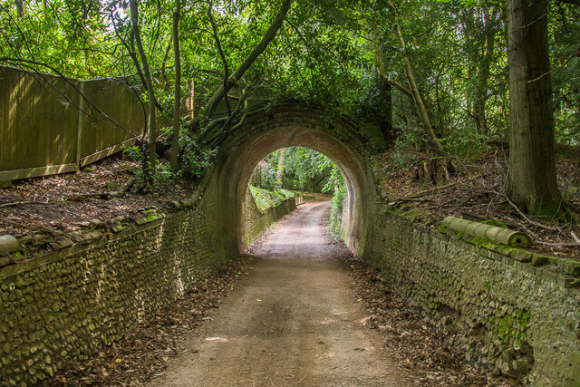
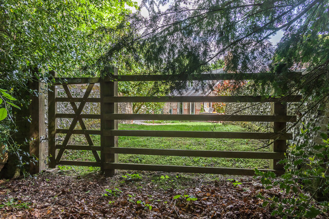
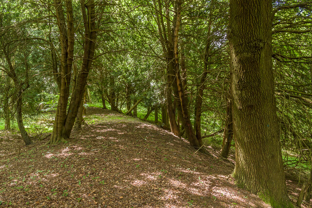
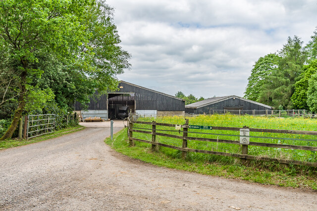
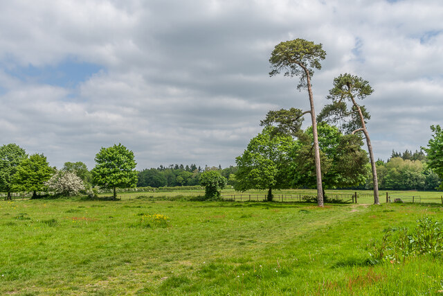
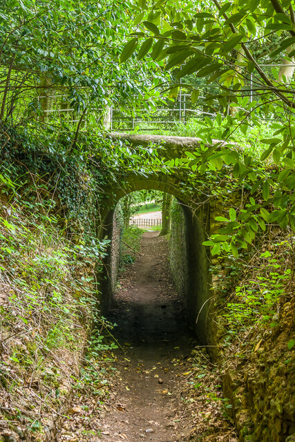
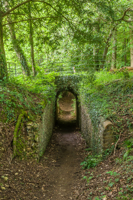
Effingham Upper Common is a picturesque area located in Surrey, England. Situated amidst the stunning Surrey Hills, this common is a haven for nature enthusiasts and outdoor lovers. It covers a vast expanse of land, offering a diverse range of natural landscapes including downs and moorland.
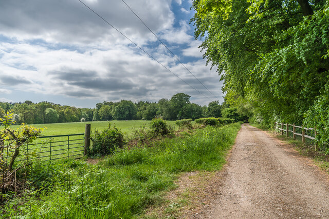
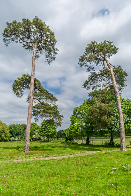
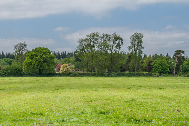
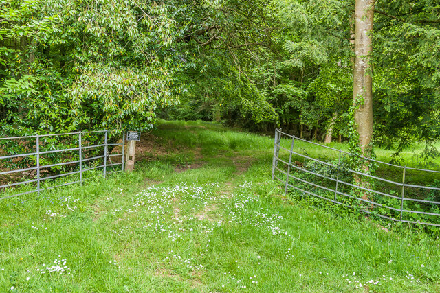
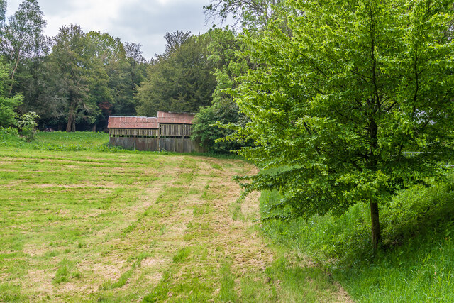
The common is known for its rolling hills, expansive meadows, and breathtaking views. It is a designated Area of Outstanding Natural Beauty, attracting visitors from near and far. The area is home to a diverse range of flora and fauna, making it an ideal spot for wildlife observation and nature walks.
Effingham Upper Common is intersected by several walking trails, including the popular North Downs Way and the Surrey Hills Area of Outstanding Natural Beauty Trail. These trails offer visitors the opportunity to explore the stunning surroundings and take in the beauty of the countryside.
The common is also home to a variety of bird species, making it a popular destination for birdwatching enthusiasts. Visitors can spot species such as red kites, buzzards, and woodpeckers, among others.
Effingham Upper Common is easily accessible by car and is located close to the town of Effingham. The common provides ample parking facilities for visitors and has designated picnic areas for those wishing to enjoy a leisurely day out in nature.
In summary, Effingham Upper Common in Surrey is a serene and beautiful area, offering an abundance of natural beauty and wildlife. Whether you are a nature lover, hiker, or birdwatcher, this common is a must-visit destination to experience the tranquility and natural wonders of the Surrey Hills.
If you have any feedback on the listing, please let us know in the comments section below.
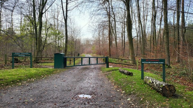
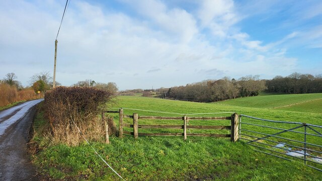
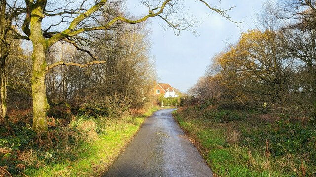
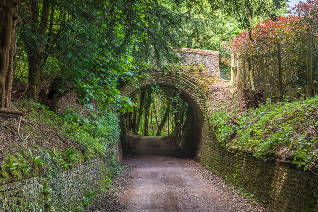
Effingham Upper Common Images
Images are sourced within 2km of 51.237496/-0.40952489 or Grid Reference TQ1149. Thanks to Geograph Open Source API. All images are credited.


Effingham Upper Common is located at Grid Ref: TQ1149 (Lat: 51.237496, Lng: -0.40952489)
Administrative County: Surrey
District: Guildford
Police Authority: Surrey
What 3 Words
///manliness.wants.hardly. Near Westcott, Surrey
Nearby Locations
Related Wikis

Hackhurst and White Downs
Hackhurst and White Downs is a 185.1-hectare (457-acre) biological Site of Special Scientific Interest west of Dorking in Surrey. White Downs is a Nature...
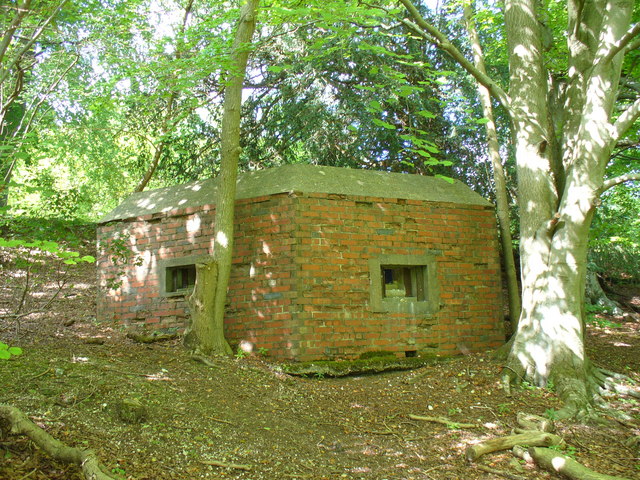
Outer London Defence Ring
The Outer London Defence Ring was a defensive ring built around London during the early part of the Second World War. It was intended as a defence against...
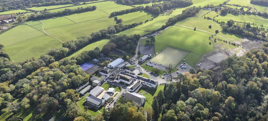
St Teresa's School Effingham
St Teresa's Effingham is a selective, independent boarding and day school for girls aged 2–18 in Effingham, Surrey, England, established in 1928. It is...

Stockbroker Belt
The Stockbroker Belt is a loosely defined region overlapping the borders of the London metropolitan area and the commuter region surrounding Greater London...
Nearby Amenities
Located within 500m of 51.237496,-0.40952489Have you been to Effingham Upper Common?
Leave your review of Effingham Upper Common below (or comments, questions and feedback).