Dunston Fen
Downs, Moorland in Lincolnshire North Kesteven
England
Dunston Fen

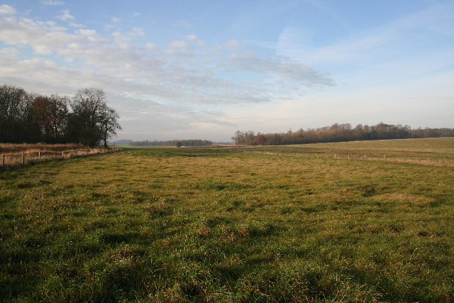
Dunston Fen is a picturesque area located in the county of Lincolnshire, England. It is characterized by its diverse terrain, encompassing both downs and moorland, providing visitors with a unique and captivating landscape to explore.
The fen is situated on the outskirts of the village of Dunston, offering a peaceful retreat for nature enthusiasts and outdoor enthusiasts alike. It spans several acres and is known for its rich biodiversity, making it an ideal destination for wildlife lovers. The fen is home to a variety of plant and animal species, including rare orchids, water birds, and various species of butterflies.
The downs in Dunston Fen are rolling hills covered with lush green grass, offering breathtaking views of the surrounding countryside. Visitors can take leisurely walks along the downs, immersing themselves in the tranquility of the area. The moorland, on the other hand, offers a more rugged and untamed landscape, with heather-covered hills and rocky outcrops.
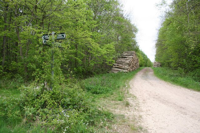
Dunston Fen is also home to several walking trails, allowing visitors to explore the area at their own pace. These paths wind through the fen, providing an opportunity to observe the diverse flora and fauna up close. Additionally, the fen is equipped with viewing platforms and bird hides, enabling birdwatchers to observe the various waterfowl that inhabit the area.
Overall, Dunston Fen is a natural haven, offering a unique blend of downs and moorland. Its beauty and rich biodiversity make it a must-visit destination for those seeking solace in nature or an opportunity to immerse themselves in the outdoors.
If you have any feedback on the listing, please let us know in the comments section below.
Dunston Fen Images
Images are sourced within 2km of 53.168982/-0.34333639 or Grid Reference TF1064. Thanks to Geograph Open Source API. All images are credited.


Dunston Fen is located at Grid Ref: TF1064 (Lat: 53.168982, Lng: -0.34333639)
Administrative County: Lincolnshire
District: North Kesteven
Police Authority: Lincolnshire
What 3 Words
///coder.defenders.morphing. Near Bardney, Lincolnshire
Nearby Locations
Related Wikis
Nocton Priory
Nocton Park Priory was an Augustinian priory in Nocton, Lincolnshire, England. The priory of Nocton Park was founded by Robert Darcy in honour of Saint...

Southrey railway station
Southrey railway station is a former station in Southrey, Lincolnshire. == History == The station was opened on 17 October 1848 as part of the new 58 miles...

Metheringham Lass
The Metheringham Lass is the name given to an apparition which has been reported at RAF Metheringham. Reports have stated that the woman, wearing a jacket...

RAF Metheringham
Royal Air Force Metheringham or more simply RAF Metheringham is a former Royal Air Force station situated between the villages of Metheringham and Martin...
Southrey
Southrey is a village in the civil parish of Bardney in the West Lindsey district of Lincolnshire, England, and approximately 2 miles (3 kilometres) south...
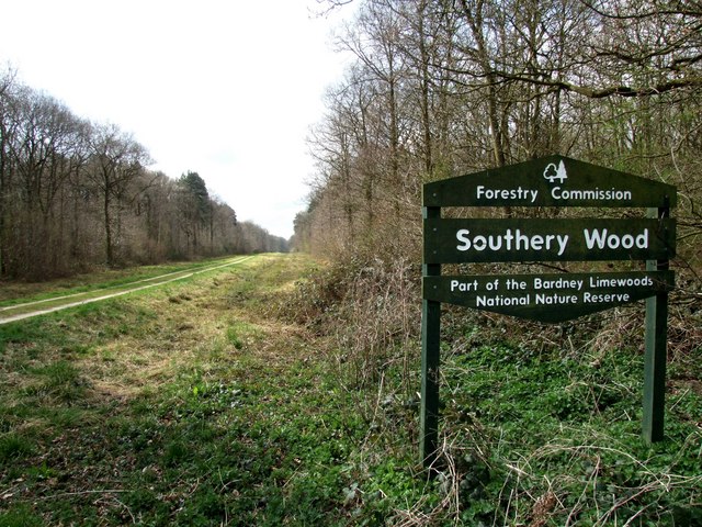
Southrey Wood
Southrey Wood is reserve near Bardney in the county of Lincolnshire, England. Butterfly Conservation manages this reserve. It is 22 acres (8.9 ha) in extent...

Bardney railway station
Bardney railway station was a station in Bardney, Lincolnshire. North of the station the line split in two with one branch going to Lincoln and the other...
Potterhanworth Wood
Potterhanworth Wood (grid reference TF070670) is a 32.0 hectare woodland, close to the village of Potterhanworth in North Kesteven, Lincolnshire, England...
Nearby Amenities
Located within 500m of 53.168982,-0.34333639Have you been to Dunston Fen?
Leave your review of Dunston Fen below (or comments, questions and feedback).