Gypsy Green
Downs, Moorland in Sussex Horsham
England
Gypsy Green
Gypsy Green is a picturesque area located in Sussex, England. Nestled within the beautiful Sussex Downs and Moorland, this charming village offers breathtaking views of the surrounding countryside.
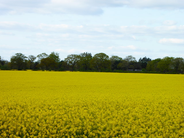
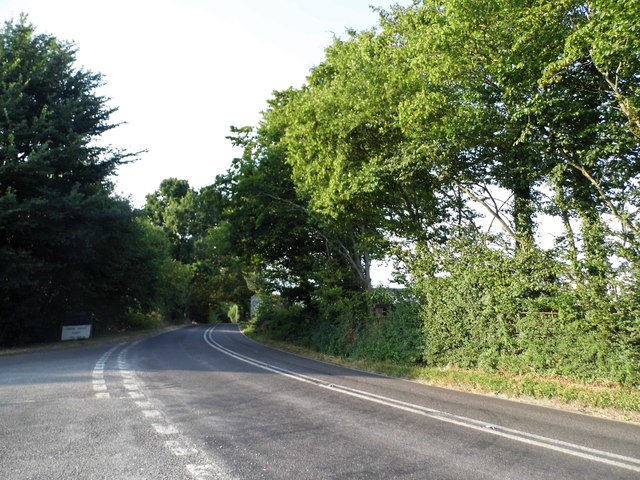
The Downs, characterized by rolling hills, lush green meadows, and stunning cliffs, provide a tranquil backdrop to the village. The area is popular amongst hikers, nature enthusiasts, and photographers who are drawn to its natural beauty. The Downs also offer a variety of walking and cycling trails, allowing visitors to explore the area and enjoy the fresh air.
Moorland, on the other hand, adds a touch of ruggedness to the landscape. With its open expanses, heather-covered hills, and scattered trees, it provides a stark contrast to the more gentle Downs. Moorland is known for its unique flora and fauna, including various bird species and rare plants.
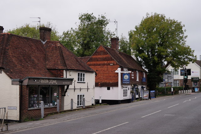
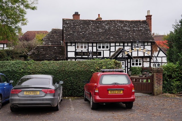
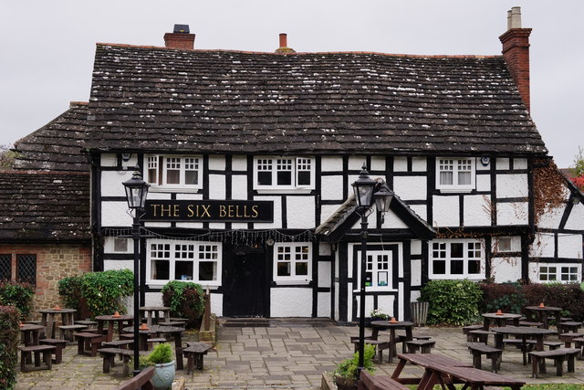
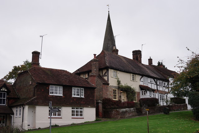
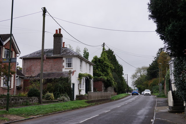
Gypsy Green itself is a small, tight-knit community with a population of approximately 500 residents. The village maintains its traditional charm, with picturesque cottages, a village green, and a quaint church dating back several centuries. The locals are known for their warm hospitality and strong sense of community.
Despite its rural setting, Gypsy Green is easily accessible, with good transport links to nearby towns and cities. The village also boasts a few amenities, including a local pub, a small convenience store, and a primary school.
Whether it's taking in the stunning views, exploring the trails, or immersing oneself in the peaceful atmosphere, Gypsy Green, Sussex (Downs, Moorland) offers a quintessential English countryside experience.
If you have any feedback on the listing, please let us know in the comments section below.
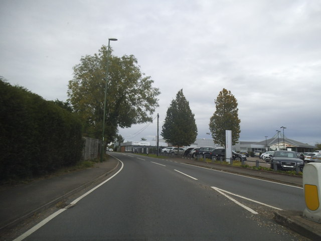
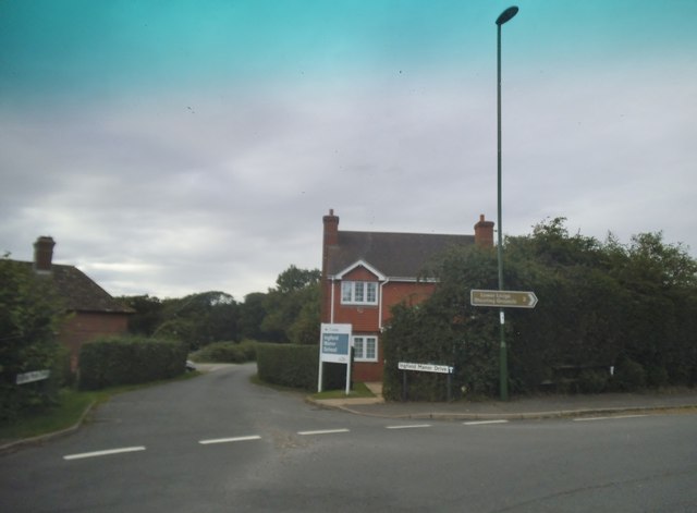
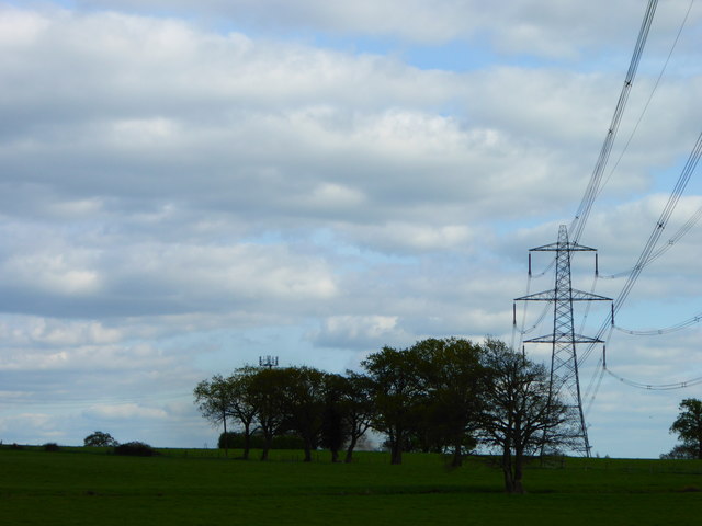
Gypsy Green Images
Images are sourced within 2km of 51.029488/-0.42906199 or Grid Reference TQ1026. Thanks to Geograph Open Source API. All images are credited.


Gypsy Green is located at Grid Ref: TQ1026 (Lat: 51.029488, Lng: -0.42906199)
Administrative County: West Sussex
District: Horsham
Police Authority: Sussex
What 3 Words
///sliders.machinery.ownership. Near Billingshurst, West Sussex
Nearby Locations
Related Wikis

Billingshurst
Billingshurst is a village and civil parish in the Horsham District of West Sussex, England. The village lies on the A29 road (the Roman Stane Street)...

Billingshurst (electoral division)
Billingshurst is an electoral division of West Sussex in the United Kingdom and returns one member to sit on West Sussex County Council. == Extent == The...

Five Oaks
Five Oaks is a large hamlet in the Horsham District of West Sussex, England. It lies about 1.7 miles (2.8 km) north of Billingshurst on the Roman road...

Billingshurst Unitarian Chapel
Billingshurst Unitarian Chapel is a place of worship in Billingshurst in the English county of West Sussex. The cottage-like building was erected in 1754...

Billingshurst F.C.
Billingshurst Football Club is a football club based in Billingshurst, West Sussex, England. They are currently members of the Southern Combination Division...

Billingshurst railway station
Billingshurst Railway Station serves the market town of Billingshurst, in West Sussex, England. It is on the Arun Valley Line 44 miles 71 chains (72.2...
The Weald School
The Weald School is a coeducational secondary school and sixth form. It caters for around 1,700 pupils in years 7 to 13, including over 300 in its sixth...

Coneyhurst Cutting
Coneyhurst Cutting is a 0.2-hectare (0.49-acre) geological Site of Special Scientific Interest south-east of Billingshurst in West Sussex. It is a Geological...
Nearby Amenities
Located within 500m of 51.029488,-0.42906199Have you been to Gypsy Green?
Leave your review of Gypsy Green below (or comments, questions and feedback).