Clayfield Carr
Downs, Moorland in Yorkshire
England
Clayfield Carr
Clayfield Carr is a picturesque village nestled in the heart of Yorkshire, England. It is situated amidst the breathtaking landscapes of the Yorkshire Downs and Moorland, offering residents and visitors alike an abundance of natural beauty.
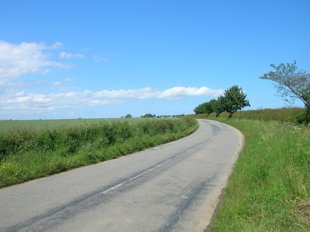
The village is renowned for its idyllic setting, characterized by rolling hills, lush green meadows, and stunning views of the surrounding countryside. The Yorkshire Downs provide a magnificent backdrop, with their sweeping vistas and gentle slopes. Meanwhile, the Moorland adds a touch of ruggedness to the landscape, with its heather-clad hills and rocky outcrops.
The village itself exudes charm and tranquility, with its quaint, stone-built cottages and narrow, winding streets. The local community is close-knit and welcoming, making Clayfield Carr a truly inviting place to live or visit.
In terms of amenities, Clayfield Carr offers a range of facilities to cater to the needs of its residents. There is a local primary school, a village hall that hosts various community events, and a small selection of shops and cafes. The village also benefits from excellent transport links, with regular bus services connecting it to nearby towns and cities.
For outdoor enthusiasts, Clayfield Carr is a paradise. The surrounding countryside provides ample opportunities for walking, hiking, and cycling, allowing visitors to explore the stunning natural beauty of the area. The Yorkshire Downs and Moorland are also home to a rich variety of wildlife, making it a popular destination for nature lovers and birdwatchers.
In conclusion, Clayfield Carr is a charming village located in the captivating landscapes of the Yorkshire Downs and Moorland. With its picturesque setting, friendly community, and abundance of outdoor activities, it is a truly special place to experience the beauty of rural Yorkshire.
If you have any feedback on the listing, please let us know in the comments section below.
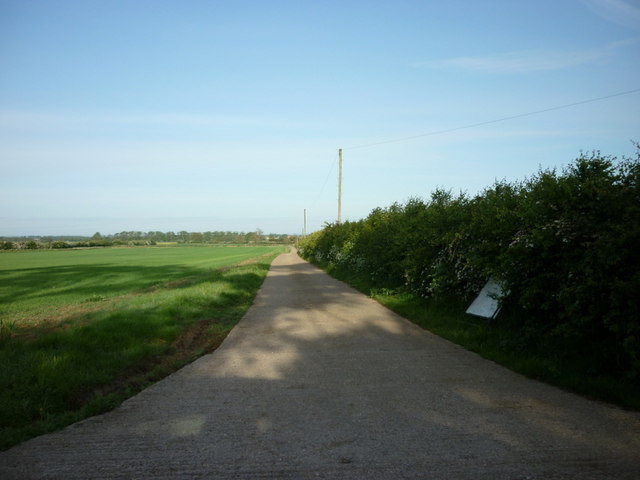
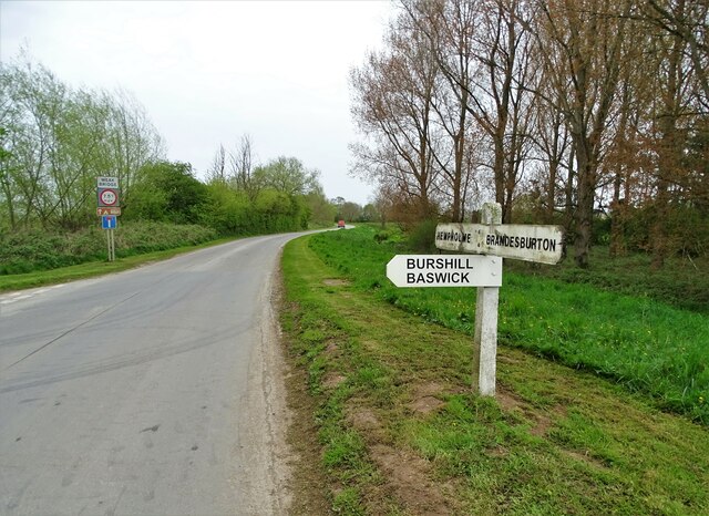
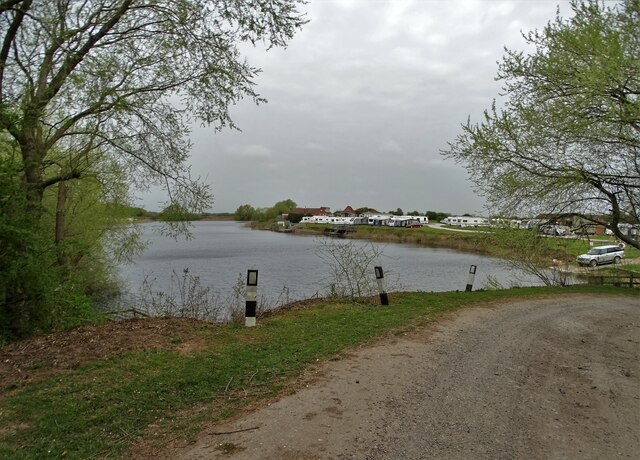
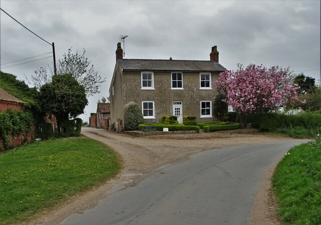
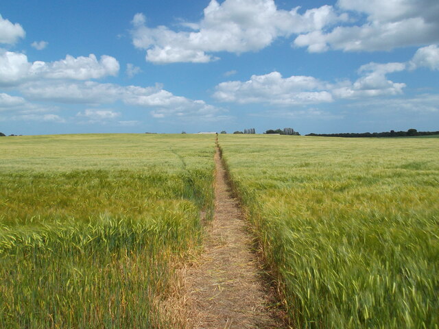
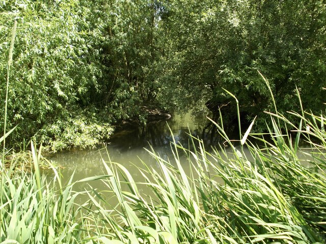
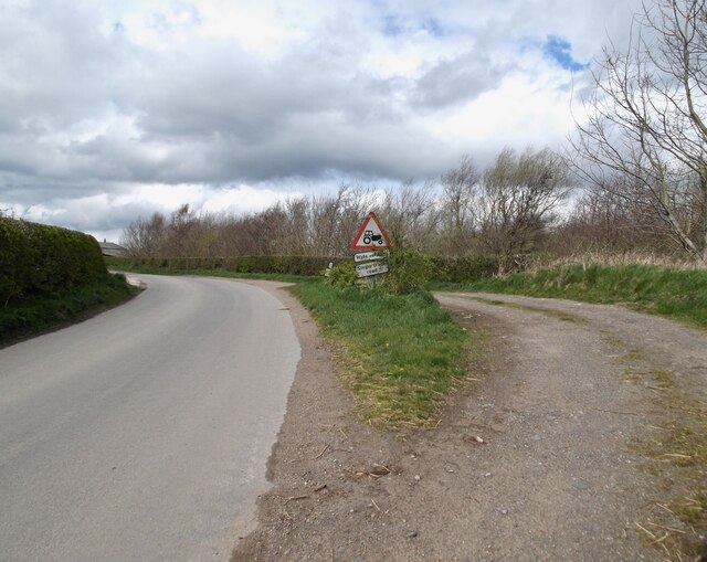
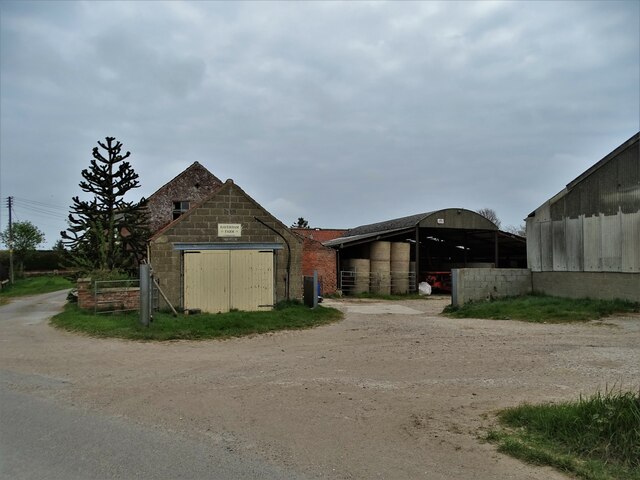
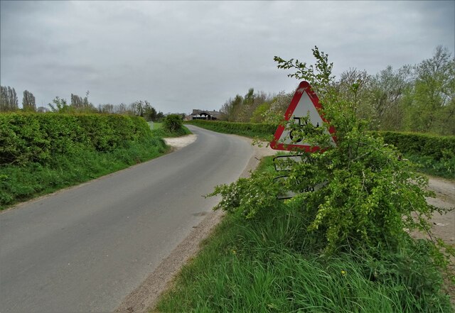
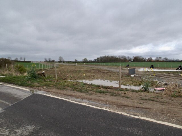
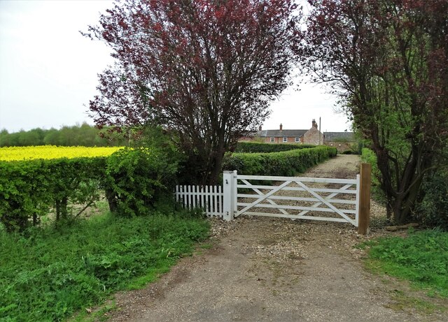
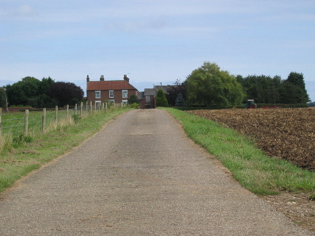
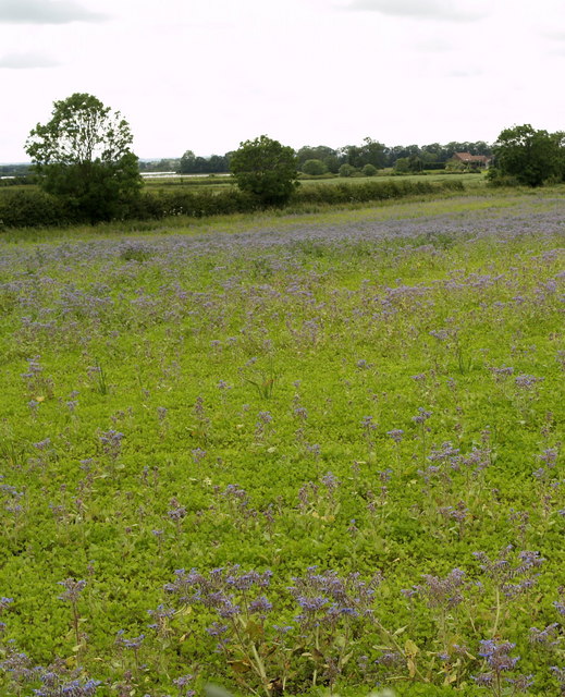
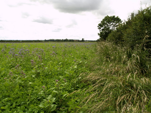
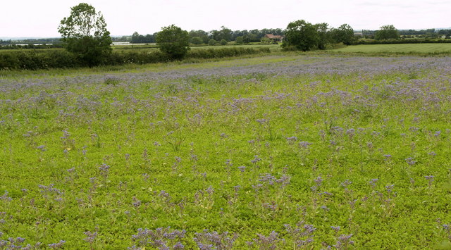
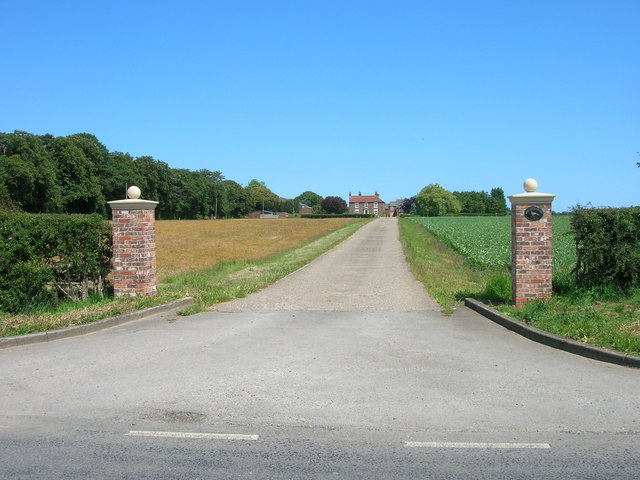
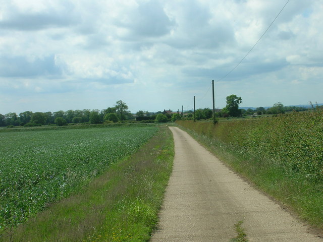
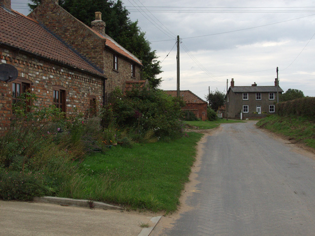
Clayfield Carr Images
Images are sourced within 2km of 53.92839/-0.32831922 or Grid Reference TA0949. Thanks to Geograph Open Source API. All images are credited.
Clayfield Carr is located at Grid Ref: TA0949 (Lat: 53.92839, Lng: -0.32831922)
Division: East Riding
Unitary Authority: East Riding of Yorkshire
Police Authority: Humberside
What 3 Words
///squaring.daisy.animate. Near Brandesburton, East Yorkshire
Nearby Locations
Related Wikis
Burshill
Burshill is a hamlet in the East Riding of Yorkshire, England. It is situated approximately 7 miles (11 km) north-east of the market town of Beverley...

Hempholme
Hempholme is a hamlet in the East Riding of Yorkshire, England, in an area known as Holderness. It is situated approximately 8 miles (13 km) north-east...

Struncheon Hill Lock
Struncheon Hill Lock was built as a later addition to the Driffield Navigation in the East Riding of Yorkshire, England. It improved access to the next...

Bethells Bridge
Bethells Bridge, a swing bridge on the Driffield Navigation in the East Riding of Yorkshire, England. The bridge was built to access land cut off after...
Nearby Amenities
Located within 500m of 53.92839,-0.32831922Have you been to Clayfield Carr?
Leave your review of Clayfield Carr below (or comments, questions and feedback).