Routh Carrs

Downs, Moorland in Yorkshire

England

Routh Carrs

Field near Tickton Bridge Looking North from the lay-by.
Field near Tickton Bridge Credit: Mark Anderson

Routh Carrs is a picturesque area located in the county of Yorkshire, England. Situated amidst the stunning landscapes of the Yorkshire Downs and Moorland, Routh Carrs is renowned for its natural beauty and tranquil surroundings.

The area is characterized by rolling hills, vast meadows, and charming countryside views that stretch as far as the eye can see. It is a haven for nature lovers, offering an abundance of wildlife and diverse ecosystems. Visitors to Routh Carrs can expect to encounter a variety of bird species, including skylarks, lapwings, and curlews, making it a popular destination for birdwatchers.

Routh Carrs also boasts a rich history, with evidence of human settlement dating back centuries. Ancient burial mounds and remnants of prehistoric settlements can be found throughout the area, adding to its cultural significance. The region has been shaped by the agricultural practices of the local community, with picturesque farmsteads and grazing livestock dotting the landscape.

Outdoor enthusiasts are drawn to Routh Carrs for its vast network of walking trails and cycling routes, which offer breathtaking views of the surrounding countryside. The area is also home to several nature reserves and conservation sites, where visitors can explore the diverse flora and fauna of the region.

In summary, Routh Carrs in Yorkshire is a captivating destination that showcases the natural beauty and rich history of the region. With its stunning landscapes, abundant wildlife, and recreational opportunities, it is a must-visit location for those seeking tranquility and a connection to nature.

If you have any feedback on the listing, please let us know in the comments section below.
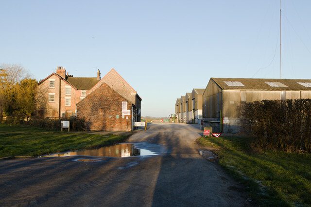
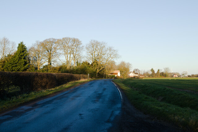
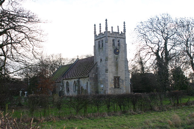
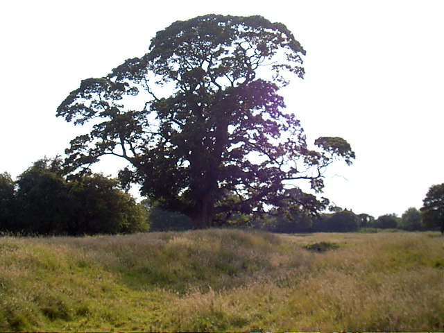
Routh Carrs Images

Images are sourced within 2km of 53.860533/-0.3432818 or Grid Reference TA0941. Thanks to Geograph Open Source API. All images are credited.

Field near Tickton Bridge Looking North from the lay-by.
Field near Tickton Bridge
Looking North from the lay-by.
Hall Farm
Hall Farm
Meaux Lane
Meaux Lane
Field near Meaux Lane
Meaux Lane near North Grange
View from the lay-by near Tickton Bridge
Old milestone This White Cross - Beverley Turnpike milestone, one of 3 remaining, is on the wide verge just southwest of Meaux Lane.   The plate was added by the East Riding CC in the late 19C/early 20C.   Last painted before 2009 <a href="https://www.geograph.org.uk/photo/1130590">TA0842 : Routh Milestone</a> it is to be refreshed by the Tickton and Routh Parish Council.   Three bolts hold the plate over the original inscription which would read From/Beverley/4.   The 5.7 mile TP lasted from 1761 until 1867.
Old milestone
This White Cross - Beverley Turnpike milestone, one of 3 remaining, is on the wide verge just southwest of Meaux Lane. The plate was added by the East Riding CC in the late 19C/early 20C. Last painted before 2009 TA0842 : Routh Milestone it is to be refreshed by the Tickton and Routh Parish Council. Three bolts hold the plate over the original inscription which would read From/Beverley/4. The 5.7 mile TP lasted from 1761 until 1867.
Old milestone Looking northeast along the A1035, this shows the thickness of the milestone set up by the White Cross to Beverley TP and the wide verge approaching Meaux Lane. <a href="https://www.geograph.org.uk/photo/7276109">TA0842 : Old milestone</a>  Although there is a cycle/footway on the north side of this road, a metre strip has been painted on the road which cyclists can use safely when travelling towards Tickton and Beverley.
Old milestone
Looking northeast along the A1035, this shows the thickness of the milestone set up by the White Cross to Beverley TP and the wide verge approaching Meaux Lane. TA0842 : Old milestone Although there is a cycle/footway on the north side of this road, a metre strip has been painted on the road which cyclists can use safely when travelling towards Tickton and Beverley.
Old milestone Since 2009 this White Cross to Beverley TP milestone has been uplifted and reset behind the safety barrier at Tickton on the A1035.  Or the safety barrier has been moved forward   <a href="https://www.geograph.org.uk/photo/6102122">TA0742 : Old Milestone by the A1035, east of Tickton</a>.  The legend inscribed for the Turnpike Trust, From/Beverley/3, will be under the plate added by the East Riding County Council in the late 19C/early 20C and fixed at three points.
Old milestone
Since 2009 this White Cross to Beverley TP milestone has been uplifted and reset behind the safety barrier at Tickton on the A1035. Or the safety barrier has been moved forward TA0742 : Old Milestone by the A1035, east of Tickton. The legend inscribed for the Turnpike Trust, From/Beverley/3, will be under the plate added by the East Riding County Council in the late 19C/early 20C and fixed at three points.
Old milestone The back of the White Cross to Beverley TP stone showing that that is not the face which was inscribed.   If the next stone nearer Beverley was in place it would be near Hull Bridge in Tickton, now a footbridge.   A stone dated 1803 from the oldest bridge <a href="https://www.geograph.org.uk/photo/5482215">TA0541 : Date stone, footbridge over the River Hull</a> is incorporated in the brick one used today.
Old milestone
The back of the White Cross to Beverley TP stone showing that that is not the face which was inscribed. If the next stone nearer Beverley was in place it would be near Hull Bridge in Tickton, now a footbridge. A stone dated 1803 from the oldest bridge TA0541 : Date stone, footbridge over the River Hull is incorporated in the brick one used today.
Manor House Farm, Routh Part of the farm yard and outbuildings, seen from Meaux Lane
Manor House Farm, Routh
Part of the farm yard and outbuildings, seen from Meaux Lane
Going sowing, south of Routh Looking south-east from Meaux Lane, in the next field a couple of farm workers looked to be trying to get a high-tech seed drill to work. The landscape is typical of the predominantly flat farmland of Holderness.
Going sowing, south of Routh
Looking south-east from Meaux Lane, in the next field a couple of farm workers looked to be trying to get a high-tech seed drill to work. The landscape is typical of the predominantly flat farmland of Holderness.
Farm lane toward Stud Farm
Cycle path near Tickton Grange Hotel The path has crossed from the south of the A1035 from the west to resume on the north carriageway heading east.
Cycle path near Tickton Grange Hotel
The path has crossed from the south of the A1035 from the west to resume on the north carriageway heading east.
Tickton Grange Hotel Looking towards the hotel to the north of the A1035. Viewed from a cycle path.
Tickton Grange Hotel
Looking towards the hotel to the north of the A1035. Viewed from a cycle path.
Lay-by beside the A1035 Looking along a layby to the east of Tickton. A cycle path runs along the A1035 including through the lay-by.
Lay-by beside the A1035
Looking along a layby to the east of Tickton. A cycle path runs along the A1035 including through the lay-by.
Cycle path near Field House Farm Looking along a cycle path on the north side of the A1035.
Cycle path near Field House Farm
Looking along a cycle path on the north side of the A1035.
A1035 cycle path near Field House Farm Looking along a cycle path running along the northern side of the road.
A1035 cycle path near Field House Farm
Looking along a cycle path running along the northern side of the road.
Show me another place!

Routh Carrs is located at Grid Ref: TA0941 (Lat: 53.860533, Lng: -0.3432818)

Division: East Riding

Unitary Authority: East Riding of Yorkshire

Police Authority: Humberside

What 3 Words

///reckons.declares.recoup. Near Tickton, East Yorkshire

Nearby Locations

Routh Carrs

Related Wikis

Routh, East Riding of Yorkshire

Routh is a village and civil parish in the East Riding of Yorkshire, England. It is situated is approximately 4 miles (6.4 km) north-east of Beverley,...

Meaux, East Riding of Yorkshire

Meaux (pronounced "mewss") is a hamlet and former civil parish, now in the parish of Wawne, in the East Riding of Yorkshire, England. It is about 6+1...

Meaux Abbey

Meaux Abbey (archaic, also referred to as Melsa) was a Cistercian abbey founded in 1151 by William le Gros, 1st Earl of Albemarle (Count of Aumale), Earl...

Tickton

Tickton is a village and civil parish in the East Riding of Yorkshire, England. Tickton is approximately 2 miles (3.2 km) east from Beverley, lying to...

Nearby Amenities

Located within 500m of 53.860533,-0.3432818
The data included in this document is from www.openstreetmap.org. The data is made available under ODbL.

Have you been to Routh Carrs?

Leave your review of Routh Carrs below (or comments, questions and feedback).