Metheringham Moor
Downs, Moorland in Lincolnshire North Kesteven
England
Metheringham Moor
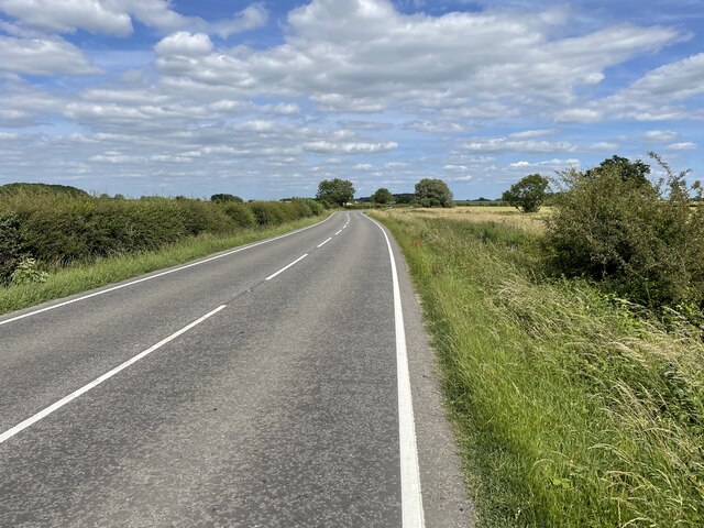
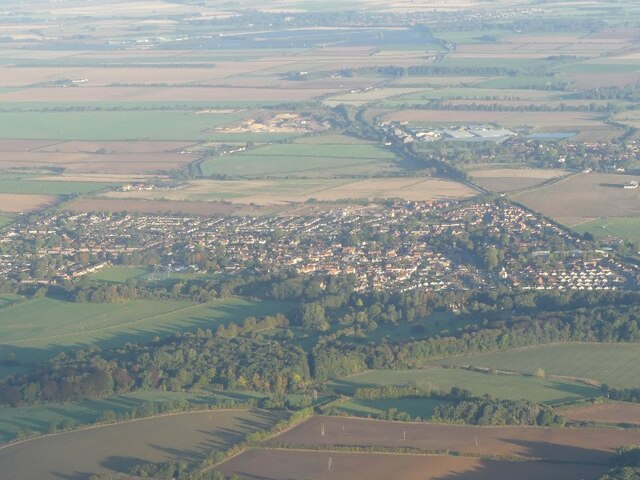
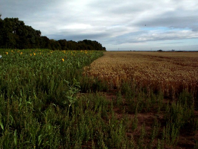
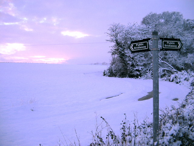
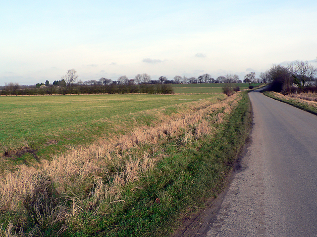
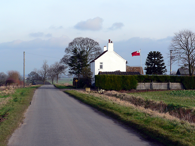
Metheringham Moor is a picturesque area located in Lincolnshire, England. Spread over a vast expanse of downs and moorland, it encompasses an area of natural beauty and rich biodiversity. The moor is situated near the village of Metheringham, approximately 10 miles south of the city of Lincoln.
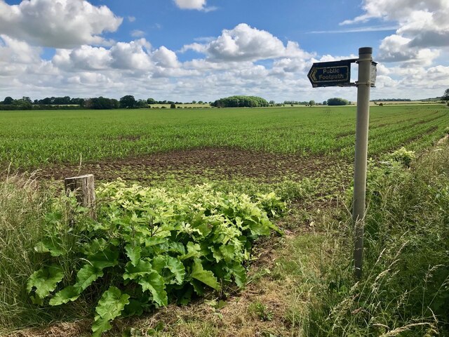
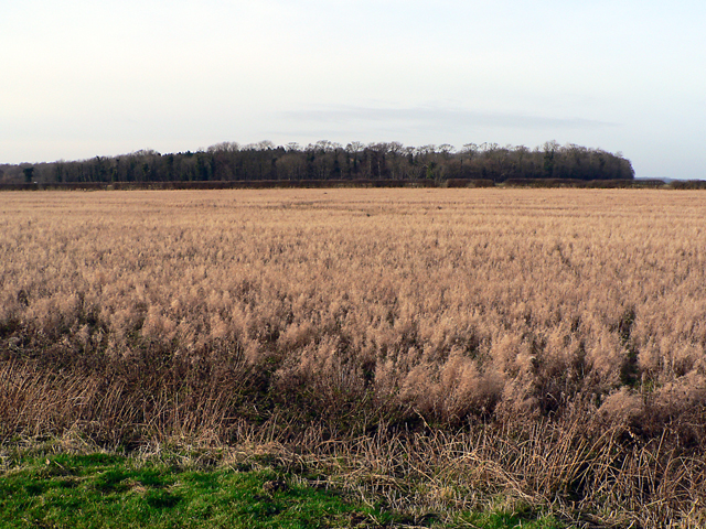
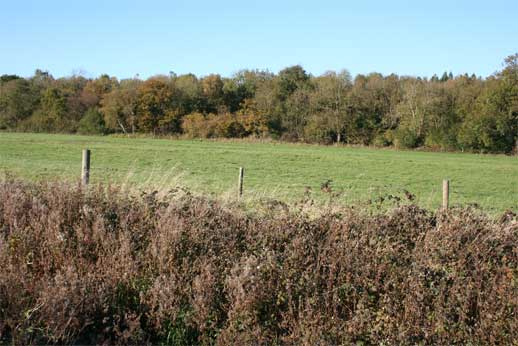
The landscape of Metheringham Moor is characterized by gently rolling hills, heathland, and patches of dense woodland. Its open grassy downs provide a habitat for a variety of plant species, including heather, gorse, and bracken. The moorland is also home to several species of birds, including skylarks and lapwings, which can often be heard singing and seen soaring above the vast open spaces.
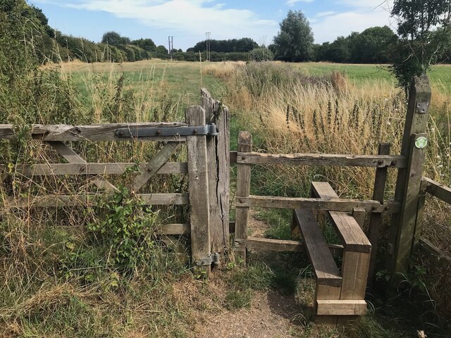
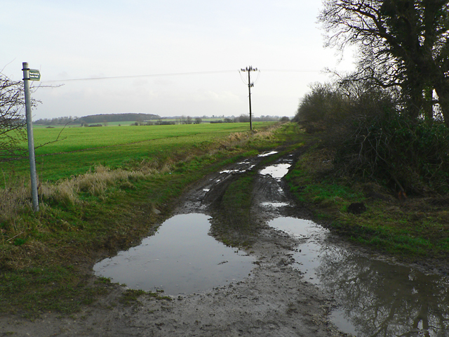
The area is popular among nature enthusiasts and hikers, who are drawn to its tranquil ambiance and stunning vistas. Numerous footpaths and trails crisscross the moor, allowing visitors to explore and appreciate its natural wonders. Additionally, Metheringham Moor offers opportunities for wildlife observation, with the chance to spot rabbits, deer, and various small mammals.
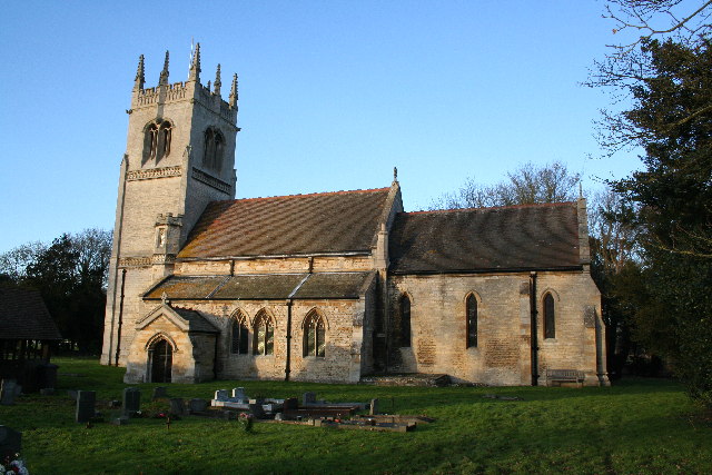
Metheringham Moor is also steeped in history. Remnants of ancient burial mounds and archaeological sites can be found, hinting at the area's rich past. Moreover, the moor is dotted with charming villages and historical landmarks, such as Metheringham Abbey, which add to its cultural significance.
Overall, Metheringham Moor is a captivating destination that combines natural beauty, diverse wildlife, and a sense of history. It offers a peaceful retreat for those seeking to immerse themselves in the tranquility of the English countryside.
If you have any feedback on the listing, please let us know in the comments section below.
Metheringham Moor Images
Images are sourced within 2km of 53.141938/-0.38103752 or Grid Reference TF0861. Thanks to Geograph Open Source API. All images are credited.


Metheringham Moor is located at Grid Ref: TF0861 (Lat: 53.141938, Lng: -0.38103752)
Administrative County: Lincolnshire
District: North Kesteven
Police Authority: Lincolnshire
What 3 Words
///descended.vies.unravel. Near Metheringham, Lincolnshire
Nearby Locations
Related Wikis

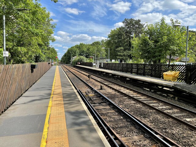
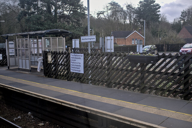
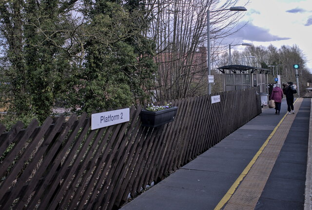
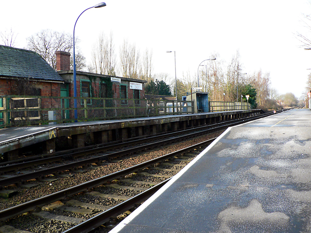
Metheringham railway station
Metheringham railway station serves the village of Metheringham in Lincolnshire, England. It lies on the Peterborough–Lincoln line. It is owned by Network...

Metheringham
Metheringham is a village and civil parish in the North Kesteven district of Lincolnshire, England. The population of the civil parish at the 2011 census...
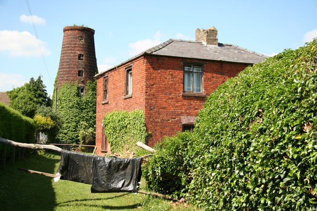
Metheringham Windmill
Metheringham Windmill, locally known as The Old Meg Flour Mill, was a six-storeyed, six-sailed, and tarred slender Lincolnshire type windmill with the...
Blankney
Blankney is a village and civil parish in the North Kesteven district of Lincolnshire, England. The population of the civil parish at the 2011 census was...

Dunston, Lincolnshire
Dunston is a small village in the North Kesteven district of Lincolnshire, England. It is situated approximately 7 miles (11 km) south-east from the city...

Metheringham Lass
The Metheringham Lass is the name given to an apparition which has been reported at RAF Metheringham. Reports have stated that the woman, wearing a jacket...

RAF Metheringham
Royal Air Force Metheringham or more simply RAF Metheringham is a former Royal Air Force station situated between the villages of Metheringham and Martin...

Lincolnshire potato railways
The Lincolnshire potato railways were a network of private, 1 ft 11+1⁄2 in (597 mm) narrow gauge farm railways which existed in the English county of Lincolnshire...
Nearby Amenities
Located within 500m of 53.141938,-0.38103752Have you been to Metheringham Moor?
Leave your review of Metheringham Moor below (or comments, questions and feedback).