Muston Wold
Downs, Moorland in Yorkshire Scarborough
England
Muston Wold
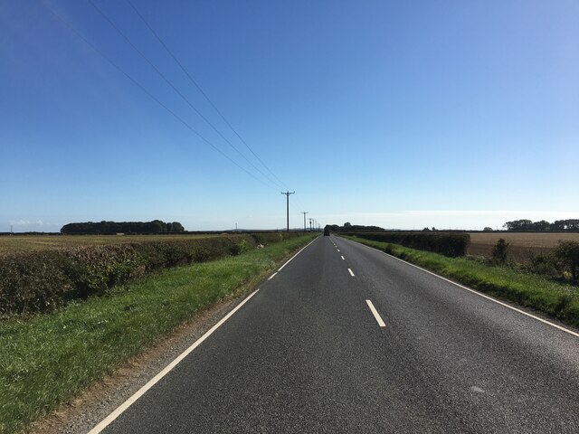
Muston Wold, located in the county of Yorkshire, is a prominent natural feature known for its breathtaking beauty and diverse landscape. Situated in the heart of the Yorkshire Downs, this sprawling area encompasses both downs and moorland, offering a variety of stunning vistas and unique wildlife.
The downs of Muston Wold are characterized by rolling hills and expansive grasslands that stretch as far as the eye can see. These downs are a haven for a wide range of flora and fauna, including wildflowers, butterflies, and various bird species. The vibrant colors of the meadows create a picturesque scene during the spring and summer months.
In contrast, the moorland of Muston Wold presents a different ambiance altogether. With its vast stretches of heather-covered hills and rocky outcrops, this rugged terrain offers a more remote and wild experience. The moorland is home to several species of birds, including grouse and peregrine falcons, making it a popular spot for birdwatchers and nature enthusiasts.
The combination of downs and moorland provides an ideal setting for outdoor activities such as hiking, cycling, and nature walks. Numerous trails and footpaths crisscross the area, allowing visitors to explore its diverse landscapes at their own pace.
Muston Wold is not only a natural wonder but also a place of historical significance. The area is dotted with ancient burial mounds and stone circles, providing a glimpse into its rich past. Archaeologists have discovered artifacts dating back to the Neolithic and Bronze Ages, adding to the allure of this remarkable landscape.
Overall, Muston Wold is a captivating destination that showcases the beauty and diversity of Yorkshire's natural landscapes. Whether it's the gentle slopes of the downs or the rugged moorland, this area offers an unforgettable experience for those seeking to immerse themselves in nature.
If you have any feedback on the listing, please let us know in the comments section below.
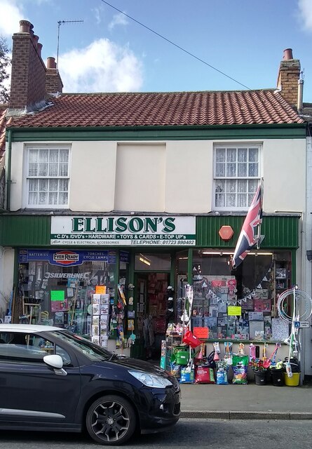
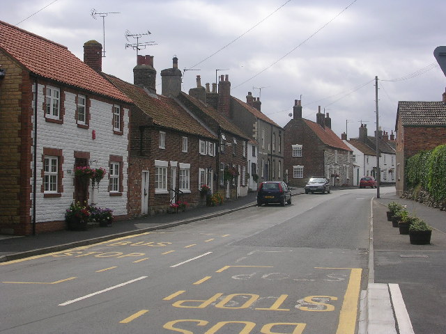
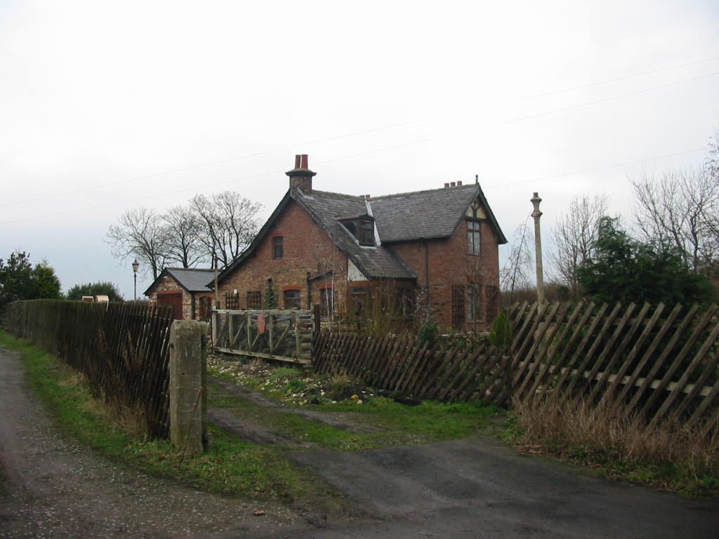
Muston Wold Images
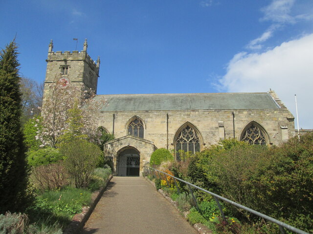
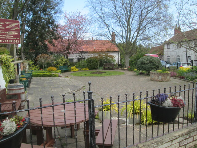
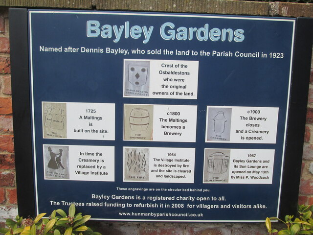
Images are sourced within 2km of 54.190414/-0.34142911 or Grid Reference TA0878. Thanks to Geograph Open Source API. All images are credited.


Muston Wold is located at Grid Ref: TA0878 (Lat: 54.190414, Lng: -0.34142911)
Division: East Riding
Administrative County: North Yorkshire
District: Scarborough
Police Authority: North Yorkshire
What 3 Words
///vesting.vacancies.poet. Near Hunmanby, North Yorkshire
Nearby Locations
Related Wikis
Muston, North Yorkshire
Muston is a village and civil parish, in North Yorkshire, England. It was historically in the East Riding of Yorkshire. The village is situated 1.5 miles...

Hunmanby
Hunmanby is a large village and civil parish in North Yorkshire, England. It was part of the East Riding of Yorkshire until 1974. From 1974 to 2023 it...

Hunmanby railway station
Hunmanby railway station serves the large village of Hunmanby in North Yorkshire, England. It is located on the Yorkshire Coast Line and is operated by...

Royal Oak, North Yorkshire
Royal Oak is an area in North Yorkshire, England, between Scarborough and Bridlington, next to Filey and Hunmanby. The place itself is marked by a public...

Passage Beds
The Passage Beds is a member of the Corallian Oolite Formation, a geologic formation in England. The subtidal to marine sandstone preserves fossils of...

Filey School
Filey School (named Ebor Academy Filey for a time) is a secondary school located in Filey, North Yorkshire, England. It is the only secondary school in...
Gristhorpe railway station
Gristhorpe railway station was a minor railway station on the Yorkshire Coast Line from Scarborough to Hull, serving the villages of Gristhorpe and Lebberston...

Folkton
Folkton is a small village and civil parish at the foot of the Yorkshire Wolds and on the edge of the Vale of Pickering on an area known as Folkton Carr...
Nearby Amenities
Located within 500m of 54.190414,-0.34142911Have you been to Muston Wold?
Leave your review of Muston Wold below (or comments, questions and feedback).