Casewick Park

Downs, Moorland in Lincolnshire South Kesteven

England

Casewick Park

Disappearing shed, Barholm
Disappearing shed, Barholm Credit: Jonathan Thacker

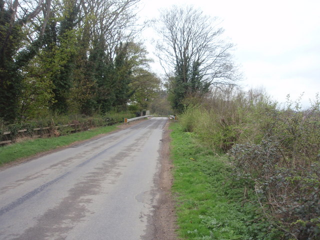
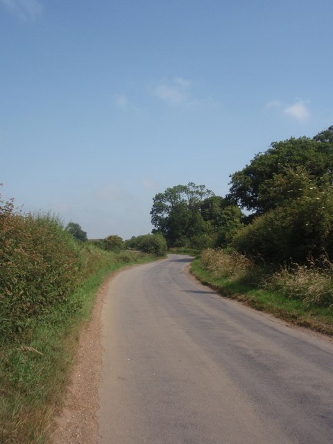
Casewick Park is a stunning natural reserve located in Lincolnshire, England. Spread across an area of downs and moorland, it offers a diverse and captivating landscape for visitors to explore. The park is known for its exceptional beauty and is a popular destination for nature enthusiasts and hikers.

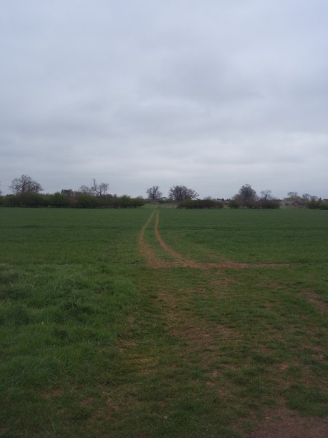
The downs in Casewick Park are characterized by rolling hills covered in lush green grass. These areas provide breathtaking panoramic views of the surrounding countryside. Visitors can take leisurely walks along the well-marked trails and enjoy the tranquility of the surroundings. The downs are also home to a variety of wildlife, including rabbits, hares, and various bird species, making it a haven for birdwatchers.

The moorland in Casewick Park adds a unique charm to the landscape. It is characterized by heather-covered hills and open spaces, creating a picturesque setting. The moorland is teeming with diverse plant life, including heather, gorse, and wildflowers, making it a vibrant and colorful sight during the blooming season.

The park offers facilities for picnics and has designated areas where visitors can relax and enjoy the peaceful ambiance. Additionally, there are information boards throughout the park, providing interesting facts about the local flora and fauna.

Casewick Park, with its downs and moorland, is a true gem in Lincolnshire. Its natural beauty, abundant wildlife, and serene atmosphere make it an ideal destination for those seeking solace in nature.

If you have any feedback on the listing, please let us know in the comments section below.

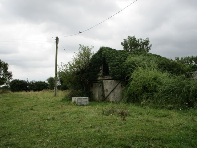
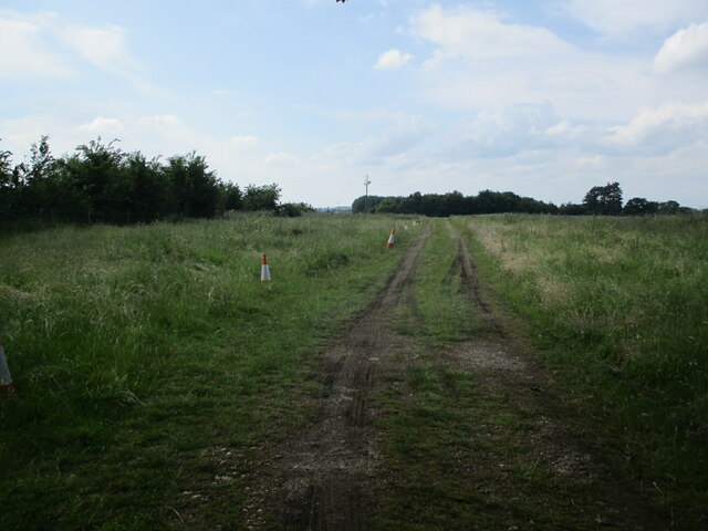
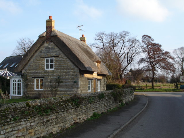
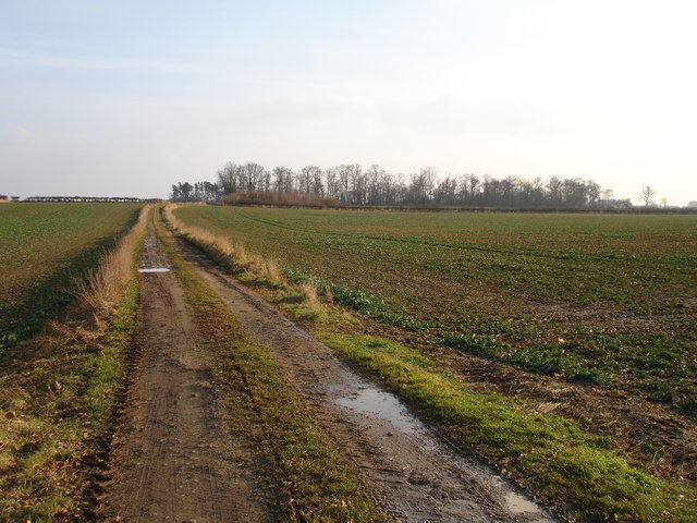
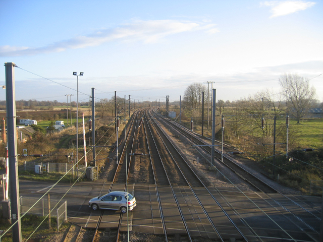
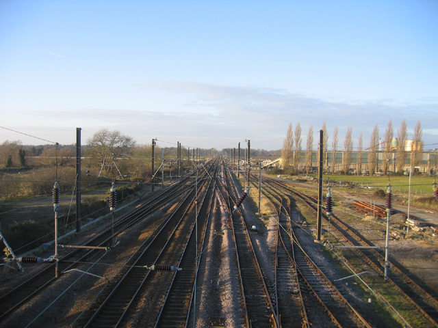
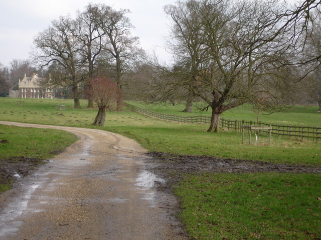
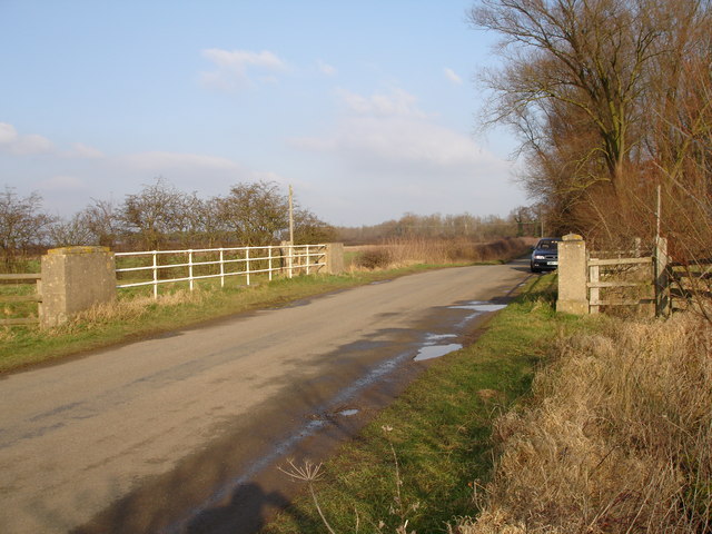
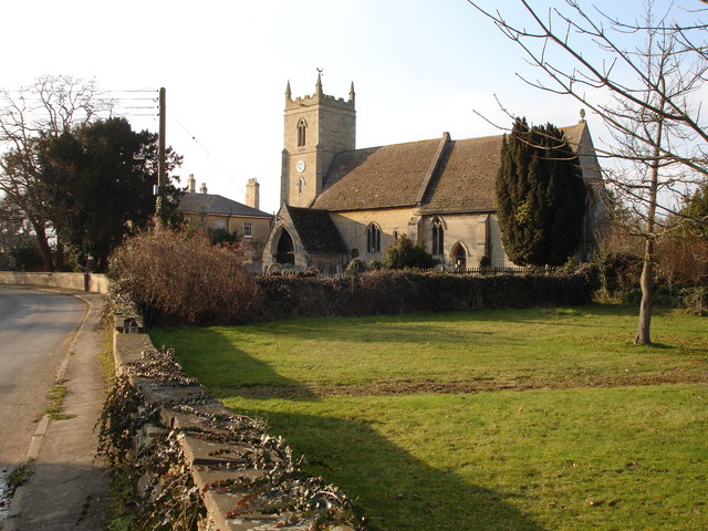
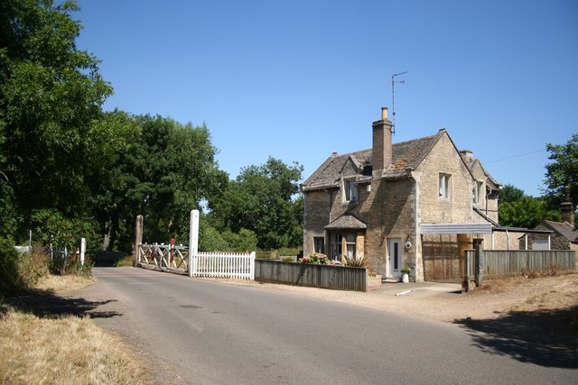
Casewick Park Images

Images are sourced within 2km of 52.669861/-0.40580381 or Grid Reference TF0709. Thanks to Geograph Open Source API. All images are credited.

Disappearing shed, Barholm
Track to Little Maidens
Thatched Cottage in the centre of Barholm Village Barholm is near Greatford and Stamford.
Thatched Cottage in the centre of Barholm Village
Barholm is near Greatford and Stamford.
Farm track off the Greatford to Belmesthorpe road
Entrance drive to Shillingthorpe Park Still a footpath, and a popular dog-walking spot, but don't expect to find a house when you reach the end; it's been demolished.
Entrance drive to Shillingthorpe Park
Still a footpath, and a popular dog-walking spot, but don't expect to find a house when you reach the end; it's been demolished.
Maidens' Farm More than one maiden from the spelling on the 1:25K map.  Taken from the minor road south west of Greatford.
Maidens' Farm
More than one maiden from the spelling on the 1:25K map. Taken from the minor road south west of Greatford.
Woodland near Great Maidens On the north side of the road from Greatford.  Part of Shillingthorpe Park.
Woodland near Great Maidens
On the north side of the road from Greatford. Part of Shillingthorpe Park.
Car rally Walking a particularly tedious road section of the Macmillan Way was livened up by a succession of old cars on a rally.  This is a Riley Kestrel, built 1934 or 1935.
Car rally
Walking a particularly tedious road section of the Macmillan Way was livened up by a succession of old cars on a rally. This is a Riley Kestrel, built 1934 or 1935.
London this way Looking north west along the East Coast main line towards (a few grid squares away) London.  I did have people checking the level crossing lights.
London this way
Looking north west along the East Coast main line towards (a few grid squares away) London. I did have people checking the level crossing lights.
Footpath to Barholm A public footpath through farmland between Uffington (Casewick Hall) and Barholm.
Footpath to Barholm
A public footpath through farmland between Uffington (Casewick Hall) and Barholm.
Railway Bridge Looking towards the road bridge over a railway, between Greatford and Uffington.
Railway Bridge
Looking towards the road bridge over a railway, between Greatford and Uffington.
Barholm Road just outside Barholm The last bend in the road before it enters the small village of Barholm.
Barholm Road just outside Barholm
The last bend in the road before it enters the small village of Barholm.
Tallington parish church, Lincs Dedicated to St Lawrence; the tower is 14th C and the nave arcades and transepts are primarily 13th C <span class="nowrap"><a title="http://www.crsbi.ac.uk/ed/li/talli/" rel="nofollow ugc noopener" href="http://www.crsbi.ac.uk/ed/li/talli/">Link</a><img style="margin-left:2px;" alt="External link" title="External link - shift click to open in new window" src="https://s1.geograph.org.uk/img/external.png" width="10" height="10"/></span> . View NW from the bridge over the Maxey Cut.
Tallington parish church, Lincs
Dedicated to St Lawrence; the tower is 14th C and the nave arcades and transepts are primarily 13th C LinkExternal link . View NW from the bridge over the Maxey Cut.
Tallington railway level crossing, Lincs The A16 road crosses the King's Cross–Edinburgh main line; view SE from the footbridge looking 'up'.
Tallington railway level crossing, Lincs
The A16 road crosses the King's Cross–Edinburgh main line; view SE from the footbridge looking 'up'.
East coast main line, Tallington, Lincs View NW looking 'down'.
East coast main line, Tallington, Lincs
View NW looking 'down'.
Grounds of Casewick Hall, near Uffington Lincs.
Casewick Hall, Uffington, Lincs
Entrance gates to Casewick hall, near Uffington, Lincs
Show me another place!

Casewick Park is located at Grid Ref: TF0709 (Lat: 52.669861, Lng: -0.40580381)

Administrative County: Lincolnshire

District: South Kesteven

Police Authority: Lincolnshire

What 3 Words

///disposing.himself.devours. Near Barnack, Cambridgeshire

Related Wikis

Uffington Rural District

Uffington was a rural district in Lincolnshire, Parts of Kesteven from 1894 to 1931. It was created in 1894 from that part of the Stamford rural sanitary...

Barholm and Stowe

Barholm and Stowe is a civil parish in the South Kesteven district of Lincolnshire, England. According to the 2001 census it had a population of 87 in...

Tallington railway station

Tallington railway station was a station in Tallington, Lincolnshire on the Great Northern Railway between Grantham and Peterborough. It was closed in...

Barholm

Barholm is a village in the South Kesteven district of Lincolnshire, England. It is 2 miles (3 km) west from the A15 road, and 6 miles (10 km) south from...

Tallington

Tallington is a village and civil parish in the South Kesteven district of Lincolnshire, England. The population of the civil parish at the 2011 census...

Uffington, Lincolnshire

Uffington is a village and civil parish in the South Kesteven district of Lincolnshire, England. The population of the civil parish at the 2011 census...

Uffington and Barnack railway station

Uffington and Barnack was a railway station in the Soke of Peterborough (now Cambridgeshire) serving the villages of Uffington, Barnack and Bainton....

Greatford

Greatford is a village and civil parish in the South Kesteven district of Lincolnshire, England. It is situated 2 miles (3 km) west from the A15, 4.5 miles...

Nearby Amenities

Located within 500m of 52.669861,-0.40580381
Crossing: uncontrolled
Railway: level_crossing
Lat/Long: 52.6733473/-0.4019255
Casewick Park
Place: locality
Source: Bing
Lat/Long: 52.6689557/-0.4121475
Barrier: cattle_grid
Lat/Long: 52.6686243/-0.4099121
Railway: level_crossing
Lat/Long: 52.673285/-0.4019931
Railway: level_crossing
Lat/Long: 52.6733194/-0.4019558
Railway: level_crossing
Lat/Long: 52.6733832/-0.4018858
The data included in this document is from www.openstreetmap.org. The data is made available under ODbL.

Have you been to Casewick Park?

Leave your review of Casewick Park below (or comments, questions and feedback).