Gardenfield Rough
Downs, Moorland in Surrey Waverley
England
Gardenfield Rough
Gardenfield Rough is a picturesque area located in Surrey, England. Nestled amidst the stunning landscape of the Downs and Moorland, it offers a unique blend of natural beauty and tranquility.
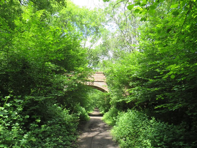
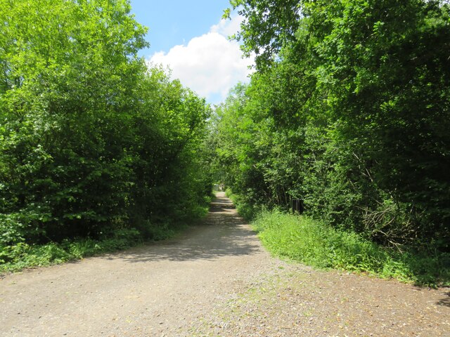
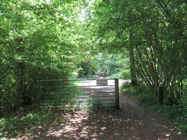
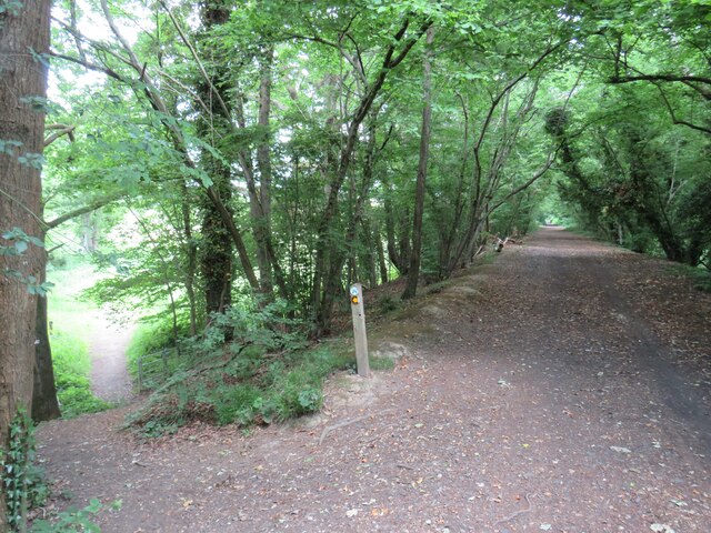
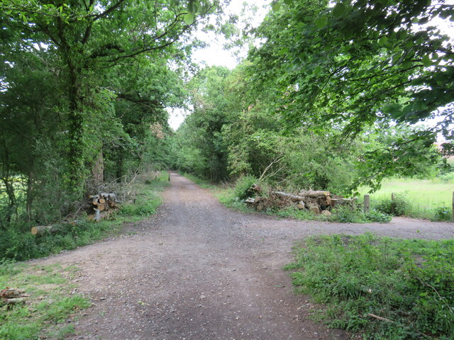
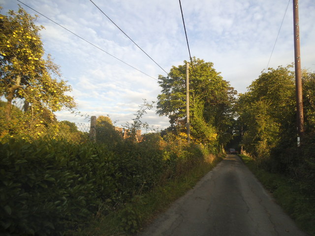
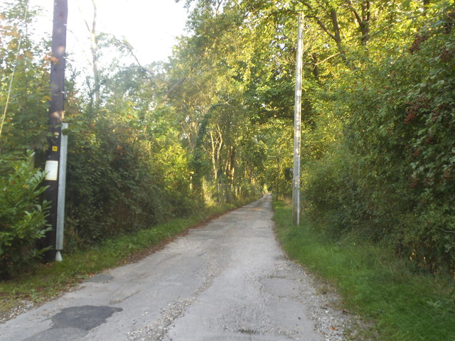
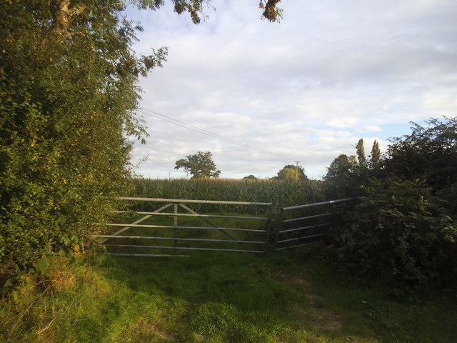
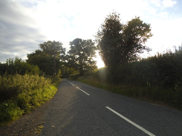
The area is known for its rolling hills, vast open spaces, and diverse flora and fauna. Visitors can explore the enchanting woodlands, stroll along the well-maintained trails, or simply relax amidst the peaceful surroundings. Gardenfield Rough is a paradise for nature lovers, offering a wide range of wildlife including birds, rabbits, and deer.
The stunning views from Gardenfield Rough are a major attraction for both locals and tourists. The Downs provide a panoramic vista of the surrounding countryside, with the rolling hills extending as far as the eye can see. On clear days, visitors can even catch a glimpse of the distant city skyline.
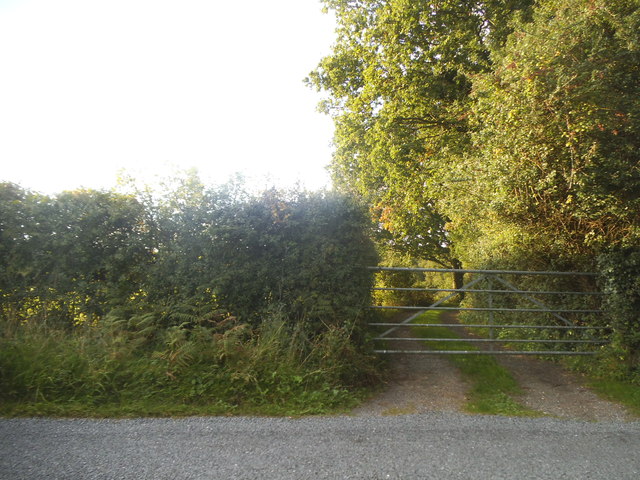
The Moorland in Gardenfield Rough is characterized by its heather-covered hills and wide-open spaces. The unique vegetation and rugged terrain make it a popular spot for hikers and nature enthusiasts. The area is also home to several rare species of plants and animals, making it a significant conservation site.
Gardenfield Rough is well-equipped with amenities for visitors. There are picnic areas, seating areas, and designated spots for birdwatching. The trails are well-maintained and suitable for both leisurely walks and more challenging hikes.
Overall, Gardenfield Rough offers a peaceful and idyllic escape from the hustle and bustle of everyday life. It is a haven for nature enthusiasts and a perfect destination for those seeking to reconnect with the great outdoors.
If you have any feedback on the listing, please let us know in the comments section below.
Gardenfield Rough Images
Images are sourced within 2km of 51.109585/-0.49241855 or Grid Reference TQ0535. Thanks to Geograph Open Source API. All images are credited.


Gardenfield Rough is located at Grid Ref: TQ0535 (Lat: 51.109585, Lng: -0.49241855)
Administrative County: Surrey
District: Waverley
Police Authority: Surrey
What 3 Words
///tequila.pressing.motive. Near Rudgwick, West Sussex
Nearby Locations
Related Wikis

Rikkyo School in England
Rikkyo School in England (立教英国学院, Rikkyō Eikoku Gakuin) is a Japanese boarding primary and secondary school in Rudgwick, Horsham District, West Sussex...

Alfold F.C.
Alfold Football Club is a football club based in Alfold, Surrey, England. They are currently members of the Southern Combination Division One and play...

London to Portsmouth canal
The London to Portsmouth canal was a concept for the construction of a secure inland canal route from the British capital of London to the headquarters...

Baynards railway station
Baynards was a railway station on the Cranleigh Line, between Guildford, Surrey, and Horsham, West Sussex, England. The station opened with the line on...

Wey and Arun Canal
The Wey and Arun Canal is a partially open, 23-mile-long (37 km) canal in the southeast of England. It runs southwards from the River Wey at Gunsmouth...

Alfold
Alfold is a village and civil parish in Surrey, England on the West Sussex border. Alfold is a dispersed or polyfocal village in the Green Belt, which...

Dunsfold Aerodrome
Dunsfold Aerodrome (former ICAO code EGTD) is an unlicensed airfield in Surrey, England, near the village of Cranleigh. It extends across land in the villages...
Cranleigh
Cranleigh is a village and civil parish, about 8 miles (13 km) southeast of Guildford in Surrey, England. It lies on a minor road east of the A281, which...
Nearby Amenities
Located within 500m of 51.109585,-0.49241855Have you been to Gardenfield Rough?
Leave your review of Gardenfield Rough below (or comments, questions and feedback).