Middle Flats
Downs, Moorland in Yorkshire
England
Middle Flats
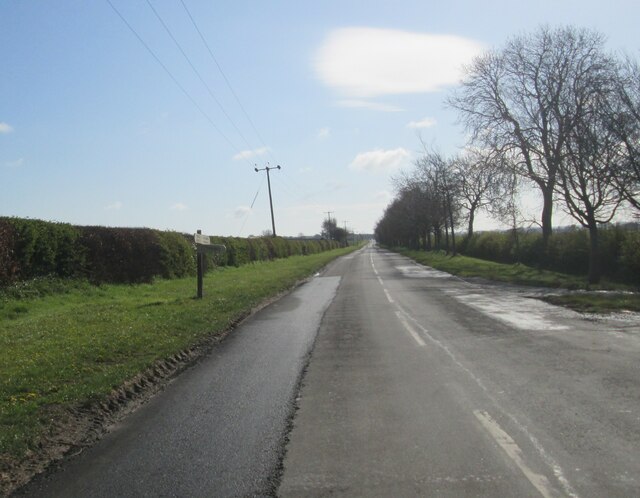
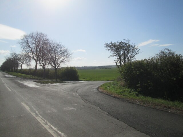
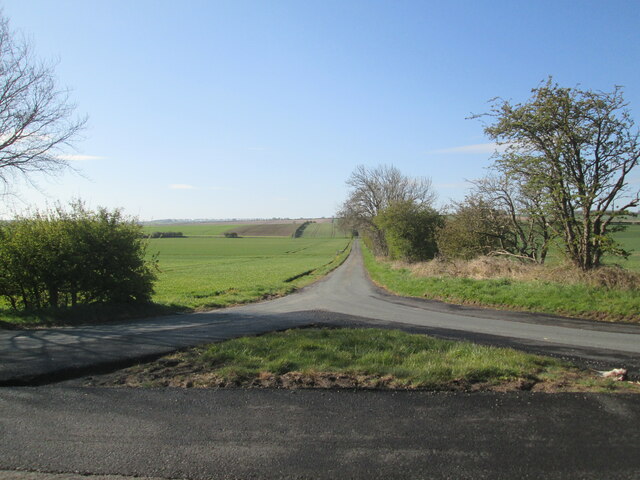
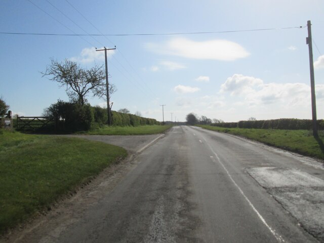
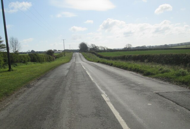
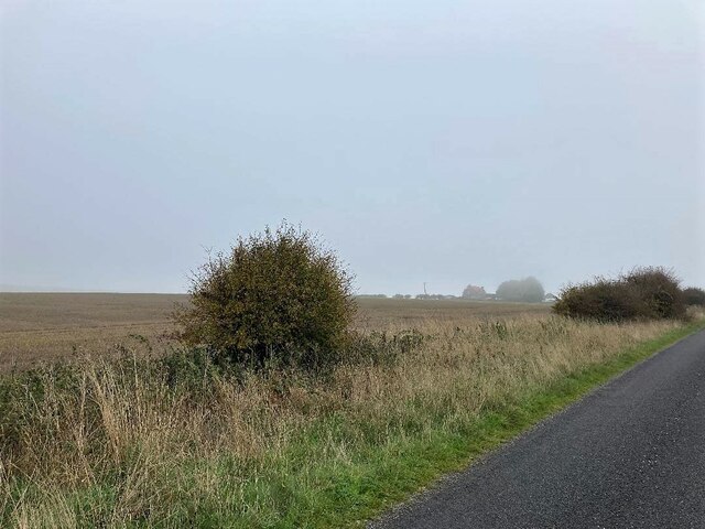
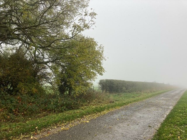
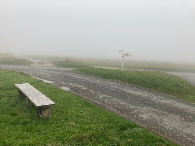
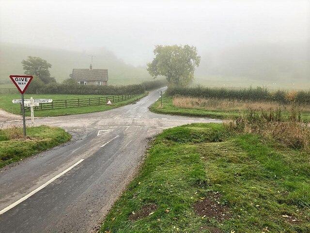
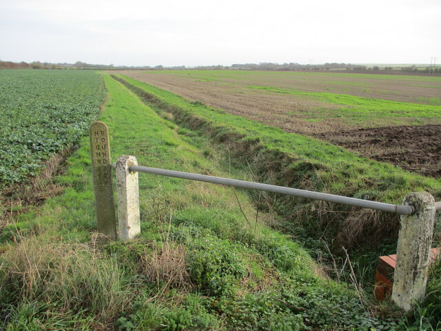
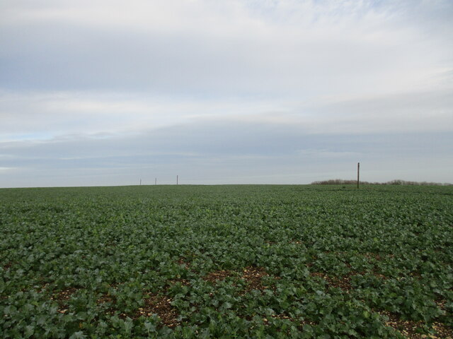
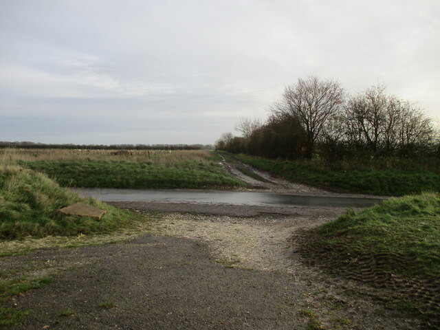
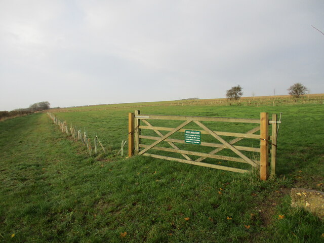
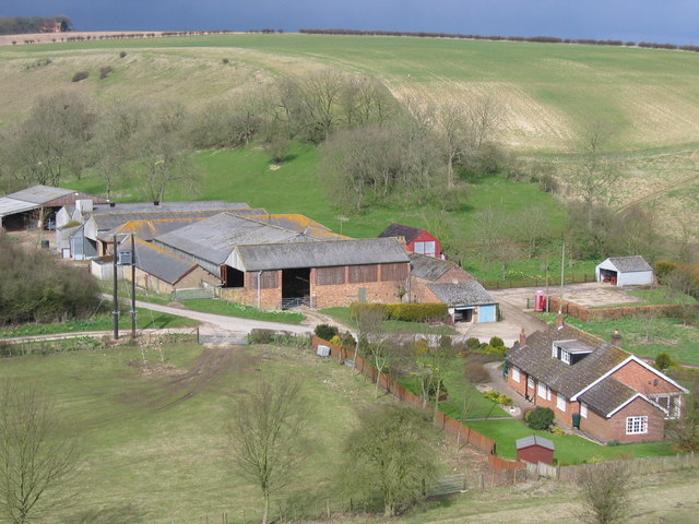
Middle Flats is a picturesque area located in Yorkshire, known for its stunning downs and moorland landscapes. The area is characterized by rolling hills, vast expanses of open grassland, and rugged terrain, making it a popular destination for hikers, nature enthusiasts, and outdoor adventurers.
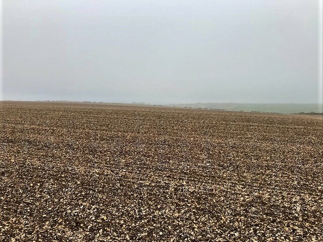
The downs of Middle Flats offer panoramic views of the surrounding countryside, with gentle slopes and lush greenery stretching as far as the eye can see. The moorland, on the other hand, is more rugged and untamed, with heather-covered hillsides and rocky outcrops adding to the dramatic beauty of the landscape.
Wildlife is abundant in Middle Flats, with a variety of bird species, mammals, and plant life calling the area home. Visitors may catch a glimpse of red grouse, curlews, or even the elusive black grouse as they explore the moorland and downs.
Overall, Middle Flats is a peaceful and enchanting place, perfect for those looking to escape the hustle and bustle of city life and immerse themselves in the natural beauty of the Yorkshire countryside.
If you have any feedback on the listing, please let us know in the comments section below.
Middle Flats Images
Images are sourced within 2km of 54.150494/-0.41064483 or Grid Reference TA0373. Thanks to Geograph Open Source API. All images are credited.


Middle Flats is located at Grid Ref: TA0373 (Lat: 54.150494, Lng: -0.41064483)
Division: East Riding
Unitary Authority: East Riding of Yorkshire
Police Authority: Humberside
What 3 Words
///allows.makeovers.marathon. Near Wold Newton, East Yorkshire
Nearby Locations
Related Wikis

Wold Newton, East Riding of Yorkshire
Wold Newton is a small Yorkshire Wolds village and civil parish in the East Riding of Yorkshire, England. It is situated approximately 9 miles (14 km)...
Fordon, East Riding of Yorkshire
Fordon is a village and former civil parish, now in the parish of Wold Newton, in the East Riding of Yorkshire, England, near the border with North Yorkshire...

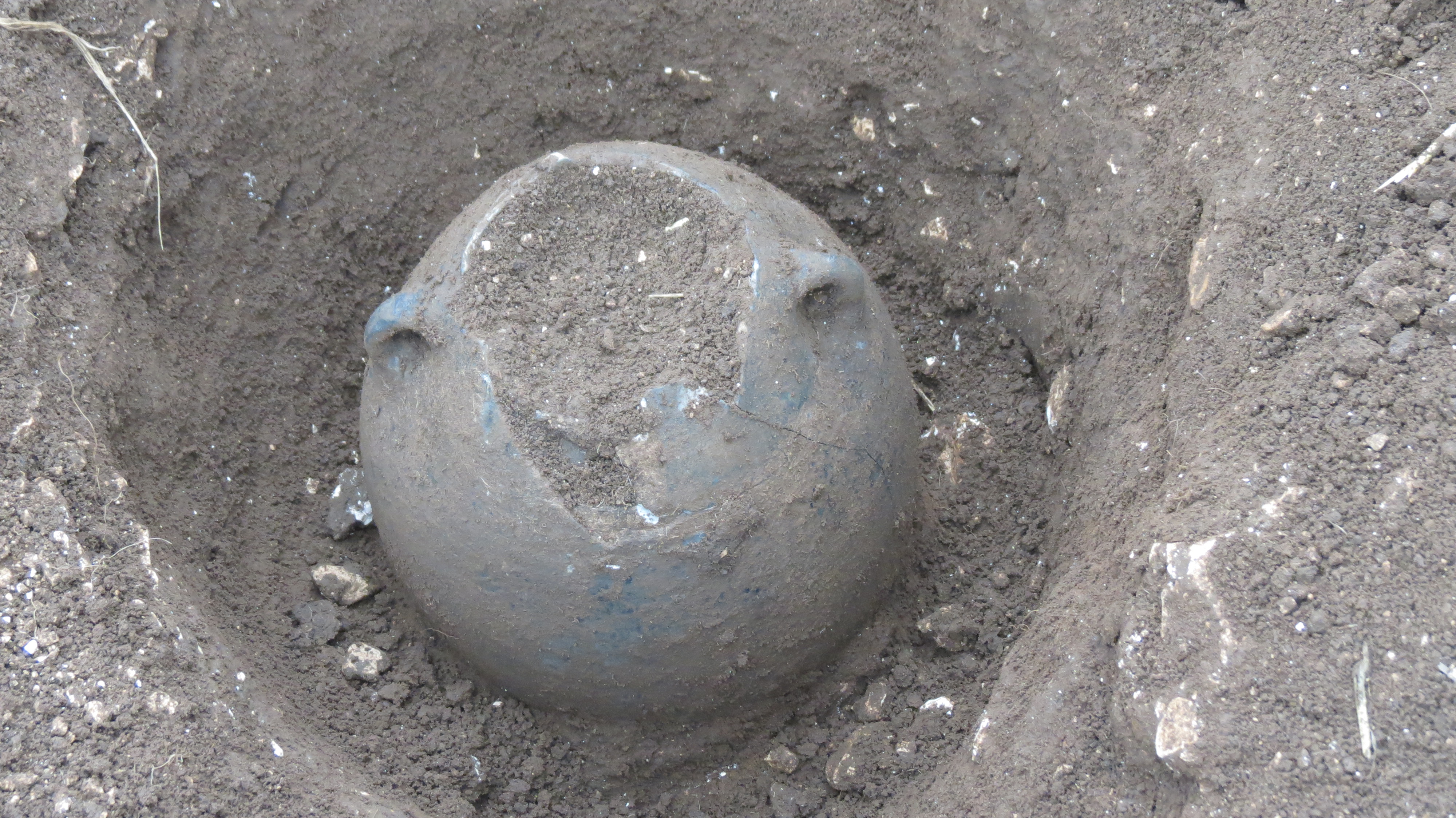
Wold Cottage meteorite
The Wold Cottage meteorite (also called the Wold Newton meteorite) fell near Wold Cottage farm in 1795, a few miles away from the village of Wold Newton...
Wold Newton Hoard
The Wold Newton Hoard is a coin hoard dating from the early 4th century AD. It contains 1,857 coins held within a pottery container. It was acquired by...
Have you been to Middle Flats?
Leave your review of Middle Flats below (or comments, questions and feedback).