Irnham Pasture

Downs, Moorland in Lincolnshire South Kesteven

England

Irnham Pasture

Road to Bulby from Irnham
Road to Bulby from Irnham Credit: Tim Heaton

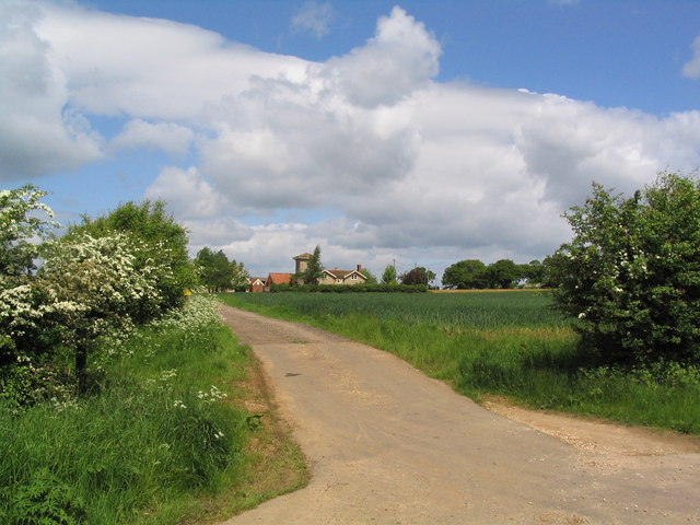
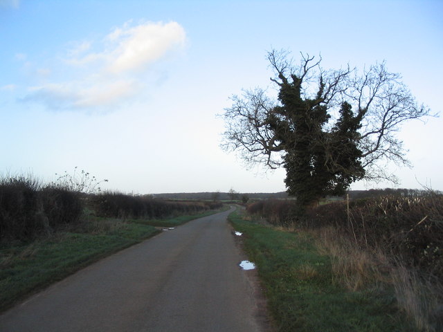
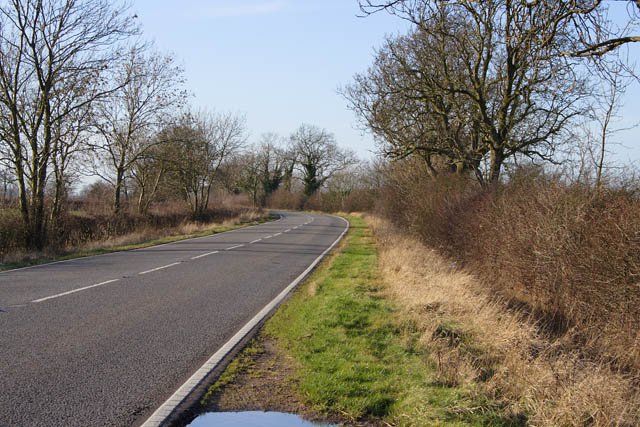
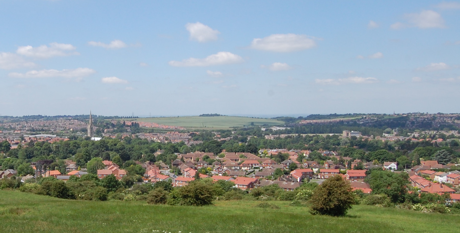
Irnham Pasture is a picturesque area located in Lincolnshire, England. Stretching over acres of land, it is a diverse landscape comprising of downs, moorland, and meadows. This serene and tranquil location is highly regarded for its natural beauty and is a popular destination for nature enthusiasts and outdoor lovers.

The downs in Irnham Pasture are characterized by gently rolling hills and open grasslands. These areas provide breathtaking panoramic views of the surrounding countryside. The downs are home to a variety of plant species, including wildflowers that bloom in vibrant colors during the spring and summer months.

Moorland is another prominent feature of Irnham Pasture. This type of landscape is characterized by its extensive heather vegetation, which creates a carpet-like covering across the land. Moorland is also known for its diverse wildlife, including birds such as grouse and curlew, which find sanctuary in this habitat.

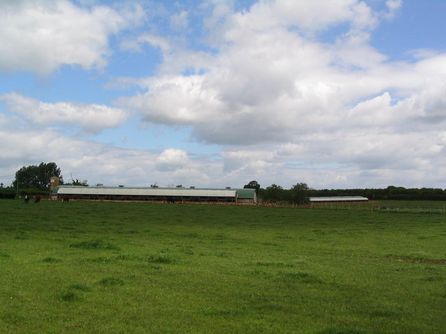
In addition to the downs and moorland, Irnham Pasture also boasts lush meadows. These meadows are rich in vegetation and provide an ideal grazing ground for livestock. The meadows are meticulously maintained, contributing to the overall charm of the area.

Visitors to Irnham Pasture can enjoy leisurely walks, hikes, and picnics amidst the stunning natural surroundings. The area is also a haven for birdwatchers, as it attracts a wide variety of bird species throughout the year.

Overall, Irnham Pasture is a captivating landscape that showcases the diverse natural beauty of Lincolnshire. Whether visitors are seeking a peaceful retreat or an opportunity to immerse themselves in nature, this area offers an enchanting experience that will leave a lasting impression.

If you have any feedback on the listing, please let us know in the comments section below.

Irnham Pasture Images

Images are sourced within 2km of 52.81407/-0.47712734 or Grid Reference TF0225. Thanks to Geograph Open Source API. All images are credited.

Road to Bulby from Irnham
Marwood House Farm
Marwood House Farm
Bridleway past Norwood
The Lodge, Irnham Park
Irnham Hall Dating from Tudor period. Former manor was home of Sir Geoffrey Luttrell, who commissioned the famous Luttrell Psalter in 1340s
Irnham Hall
Dating from Tudor period. Former manor was home of Sir Geoffrey Luttrell, who commissioned the famous Luttrell Psalter in 1340s
The Griffin at Irnham Georgian pub at the heart of a small village which Sir Roy Strong selected as his 'favourite village in the Midlands'. See <span class="nowrap"><a title="http://www.countrylife.co.uk/lifecountry/irnham.php" rel="nofollow ugc noopener" href="http://www.countrylife.co.uk/lifecountry/irnham.php">Link</a><img style="margin-left:2px;" alt="External link" title="External link - shift click to open in new window" src="https://s1.geograph.org.uk/img/external.png" width="10" height="10"/></span>
The Griffin at Irnham
Georgian pub at the heart of a small village which Sir Roy Strong selected as his 'favourite village in the Midlands'. See LinkExternal link
Church of St Andrew, Irnham Interesting, and beautifully maintained by its congregation
Church of St Andrew, Irnham
Interesting, and beautifully maintained by its congregation
St Andrews Church Irnham
Poultry units near Home Farm Breache's Wood in distance
Poultry units near Home Farm
Breache's Wood in distance
Track to Tower Farm
Track to Tower Farm
The road to Irnham The road north from Swinstead (behind camera) towards the A161 crossing to Irnham
The road to Irnham
The road north from Swinstead (behind camera) towards the A161 crossing to Irnham
Countryside near Corby Glen On the A151, Bourne Road.
Countryside near Corby Glen
On the A151, Bourne Road.
A151, Bourne Road Looking towards Corby Glen along the main man made feature of this square.
A151, Bourne Road
Looking towards Corby Glen along the main man made feature of this square.
Trees near Coby Pasture Farm The woodland on the rising ground beyond is one of the extensive ancient woodland sites across this area that make up Kestevan Forest. See <span class="nowrap"><a title="http://www.forestry.gov.uk/website/recreation.nsf/LUWebDocsByKey/EnglandLincolnshireKestevenForest" rel="nofollow ugc noopener" href="http://www.forestry.gov.uk/website/recreation.nsf/LUWebDocsByKey/EnglandLincolnshireKestevenForest">Link</a><img style="margin-left:2px;" alt="External link" title="External link - shift click to open in new window" src="https://s1.geograph.org.uk/img/external.png" width="10" height="10"/></span>
Trees near Coby Pasture Farm
The woodland on the rising ground beyond is one of the extensive ancient woodland sites across this area that make up Kestevan Forest. See LinkExternal link
Irnham Road/Corby Road This country road changes its name here. As it goes southwest to Corby Glen it's Irnham Road; as it goes northeast to Irnham it becomes Corby Road. The wood on the left is Old Park Wood, part of the old Irnham Hall estate.
Irnham Road/Corby Road
This country road changes its name here. As it goes southwest to Corby Glen it's Irnham Road; as it goes northeast to Irnham it becomes Corby Road. The wood on the left is Old Park Wood, part of the old Irnham Hall estate.
DEFRA Conservation walk A circular walk round the old Irnham Hall parkland. 
This wooden bridge crosses a small clear stream that eventually feeds the lake at Grimsthorpe Castle in <a href="https://www.geograph.org.uk/gridref/TF0322">TF0322</a>.
DEFRA Conservation walk
A circular walk round the old Irnham Hall parkland. This wooden bridge crosses a small clear stream that eventually feeds the lake at Grimsthorpe Castle in TF0322.
Irnham conservation walk Lots of the trees along this walk were covered in this orange lichen, a testament to how clean the air is here.
Irnham conservation walk
Lots of the trees along this walk were covered in this orange lichen, a testament to how clean the air is here.
Corby Road, Irnham
Corby Road, Irnham
Show me another place!

Irnham Pasture is located at Grid Ref: TF0225 (Lat: 52.81407, Lng: -0.47712734)

Administrative County: Lincolnshire

District: South Kesteven

Police Authority: Lincolnshire

What 3 Words

///sobered.eternity.eliminate. Near Corby Glen, Lincolnshire

Nearby Locations

South Wood Irnham Pasture

Related Wikis

Irnham

Irnham is a village and civil parish in South Kesteven, Lincolnshire, England. It is situated approximately 10 miles (16 km) south-east from Grantham...

South Kesteven

South Kesteven is a local government district in Lincolnshire, England, forming part of the traditional Kesteven division of the county. Its council is...

Grantham and Stamford (UK Parliament constituency)

Grantham and Stamford is a constituency in Lincolnshire represented in the House of Commons of the UK Parliament since 2019 by Gareth Davies, a Conservative...

St John the Evangelist's Church, Corby Glen

The Church of St John the Evangelist is a Grade I listed Church of England parish church dedicated to John the Evangelist, in Corby Glen, Lincolnshire...

Nearby Amenities

Located within 500m of 52.81407,-0.47712734
Irnham Pasture
Place: locality
Source: Bing
Lat/Long: 52.8102964/-0.4765717
Irnham Pasture
Place: locality
Source: Bing
Lat/Long: 52.816199/-0.4772154
South Wood Farm
Place: farm
Source: Bing
Lat/Long: 52.8127099/-0.4808016
Building: yes
Lat/Long: 52.8134823/-0.4807488
The data included in this document is from www.openstreetmap.org. The data is made available under ODbL.

Have you been to Irnham Pasture?

Leave your review of Irnham Pasture below (or comments, questions and feedback).