Cumberland Field

Downs, Moorland in Lincolnshire South Kesteven

England

Cumberland Field

Outdoor dining The Woodhouse Arms is a rather up-market establishment these days - a luxury restaurant.  But the precautions introduced to cope with the Coronavirus pandemic meant it had to - rapidly - introduce outdoor dining, and here we see what is essentially an improvised outdoor restaurant with garden seating and umbrellas in a lawn.  Although the regulations have been relaxed, people are still using this sort of arrangement, partly as a precaution and partly because we quite enjoy al fresco, now we have got used to doing it somewhere other than the Mediterranean.
Outdoor dining Credit: Bob Harvey

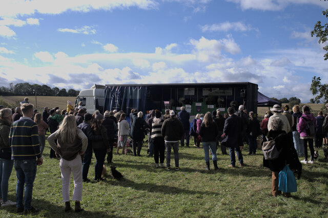
Cumberland Field is a picturesque natural area located in Lincolnshire, England. Situated amidst the stunning landscape of the Downs and Moorland, this field offers a serene and idyllic setting for visitors to enjoy.

Covering a vast area, Cumberland Field is characterized by its lush green meadows, rolling hills, and scattered patches of woodland. The field is predominantly used for agricultural purposes and is home to a variety of livestock, including cattle and sheep. The tranquility of the area is enhanced by the gentle sound of bleating sheep and the occasional rustle of leaves in the wind.

The field is also a popular destination for nature enthusiasts and hikers who enjoy exploring its vast expanse. Its diverse wildlife and plant species make it an ideal spot for observing and appreciating nature. Visitors can spot a range of bird species, including skylarks and buzzards, soaring through the sky above the field.

In addition to its natural beauty, Cumberland Field offers breathtaking views of the surrounding countryside. The rolling hills of the Downs and Moorland create a picturesque backdrop against which visitors can enjoy a peaceful picnic or take a leisurely walk.

Cumberland Field serves as a reminder of the unspoiled beauty and tranquility that can be found in the Lincolnshire countryside. Whether it's a leisurely stroll, bird-watching, or simply taking in the breathtaking scenery, this field provides a serene escape from the hustle and bustle of everyday life.

If you have any feedback on the listing, please let us know in the comments section below.

Cumberland Field Images

Images are sourced within 2km of 52.815999/-0.49658773 or Grid Reference TF0125. Thanks to Geograph Open Source API. All images are credited.

Outdoor dining The Woodhouse Arms is a rather up-market establishment these days - a luxury restaurant.  But the precautions introduced to cope with the Coronavirus pandemic meant it had to - rapidly - introduce outdoor dining, and here we see what is essentially an improvised outdoor restaurant with garden seating and umbrellas in a lawn.  Although the regulations have been relaxed, people are still using this sort of arrangement, partly as a precaution and partly because we quite enjoy al fresco, now we have got used to doing it somewhere other than the Mediterranean.
Outdoor dining
The Woodhouse Arms is a rather up-market establishment these days - a luxury restaurant. But the precautions introduced to cope with the Coronavirus pandemic meant it had to - rapidly - introduce outdoor dining, and here we see what is essentially an improvised outdoor restaurant with garden seating and umbrellas in a lawn. Although the regulations have been relaxed, people are still using this sort of arrangement, partly as a precaution and partly because we quite enjoy al fresco, now we have got used to doing it somewhere other than the Mediterranean.
Art Exhibition An exhibition by a small group of local artists, based in Leadenham, in the <a href="https://www.geograph.org.uk/photo/5852966">SK9924 : The Willoughby Memorial Gallery and Library, Corby Glen</a>
Art Exhibition
An exhibition by a small group of local artists, based in Leadenham, in the SK9924 : The Willoughby Memorial Gallery and Library, Corby Glen
By the window The pictures exhibited near <a href="https://www.geograph.org.uk/photo/6625073">SK9924 : Through the window</a> always benefit from the light.
By the window
The pictures exhibited near SK9924 : Through the window always benefit from the light.
Lincolnshire Sheep Part of the exhibition of sheep breeds and sheering at the 783rd Corby Glen sheep fair.  This is "Lenny" the Lincoln Longwool, very much representing an endangered breed.
Lincolnshire Sheep
Part of the exhibition of sheep breeds and sheering at the 783rd Corby Glen sheep fair. This is "Lenny" the Lincoln Longwool, very much representing an endangered breed.
At the funfair
At the funfair
Watching the Sheep Show At the 783rd Corby Glen Sheep Fair, Richard Savory and his animals (<span class="nowrap"><a title="https://www.thesheepshow.co.uk/" rel="nofollow ugc noopener" href="https://www.thesheepshow.co.uk/">Link</a><img style="margin-left:2px;" alt="External link" title="External link - shift click to open in new window" src="https://s1.geograph.org.uk/img/external.png" width="10" height="10"/></span> )
Watching the Sheep Show
At the 783rd Corby Glen Sheep Fair, Richard Savory and his animals (LinkExternal link )
Sheep sale pens Part of the 783rd Corby Glen Sheep Fair - the sales are now held on the Monday after the weekend's jollities, so I missed the chance to photograph them again!
Sheep sale pens
Part of the 783rd Corby Glen Sheep Fair - the sales are now held on the Monday after the weekend's jollities, so I missed the chance to photograph them again!
Road Closure Road closed for the 783rd sheep fair.  On the left, the primary school.
Road Closure
Road closed for the 783rd sheep fair. On the left, the primary school.
Stalls at the sheep fair A sheep burger stand, selling burgers made of hogget (chronologically between lamb and mutton); and the arts centre stall.
Stalls at the sheep fair
A sheep burger stand, selling burgers made of hogget (chronologically between lamb and mutton); and the arts centre stall.
The village school Dating from 1877 is the Primary School.
The village school
Dating from 1877 is the Primary School.
Datestone On the wall of <a href="https://www.geograph.org.uk/photo/6999259">SK9924 : The village school</a> a date stone from 1877.  School Boards were established as a consequence of the Elementary Education Act 1870, and the one for Corby Glen started teaching in the church and private homes while a rate was raised to pay for the building, most of which was actually funded by the Grimsthorpe estate, who still help run the establishment.
Datestone
On the wall of SK9924 : The village school a date stone from 1877. School Boards were established as a consequence of the Elementary Education Act 1870, and the one for Corby Glen started teaching in the church and private homes while a rate was raised to pay for the building, most of which was actually funded by the Grimsthorpe estate, who still help run the establishment.
Fire brigade at the Sheep Fair Corby Glen has a volunteer fire brigade, and here they were both taking part and fund raising at the sheep fair.
Fire brigade at the Sheep Fair
Corby Glen has a volunteer fire brigade, and here they were both taking part and fund raising at the sheep fair.
Gelston at the sheep fair Feeding the fairgoers.
Gelston at the sheep fair
Feeding the fairgoers.
Crowds at the sheep fair Around the performance stage at the sheep fair.
Crowds at the sheep fair
Around the performance stage at the sheep fair.
A pop-up cafe Outside the village cafe, a temporary extension for the sheep fair.
A pop-up cafe
Outside the village cafe, a temporary extension for the sheep fair.
Showman's Lorry One of the wagons that brought Dorman's funfair to the sheep fair.
Showman's Lorry
One of the wagons that brought Dorman's funfair to the sheep fair.
Solidarity with Ukraine A flag of Ukraine hung above the door of this house
Solidarity with Ukraine
A flag of Ukraine hung above the door of this house
The Village Flagpole The flagpole at Corby Glen is used to make a political statement from time to time. This time it is to side with the victims of Russian aggression in Ukraine, by flying the Ukrainian flag.
The Village Flagpole
The flagpole at Corby Glen is used to make a political statement from time to time. This time it is to side with the victims of Russian aggression in Ukraine, by flying the Ukrainian flag.
Show me another place!

Cumberland Field is located at Grid Ref: TF0125 (Lat: 52.815999, Lng: -0.49658773)

Administrative County: Lincolnshire

District: South Kesteven

Police Authority: Lincolnshire

What 3 Words

///motoring.symphonic.noisy. Near Corby Glen, Lincolnshire

Nearby Locations

Cumberland Field

Related Wikis

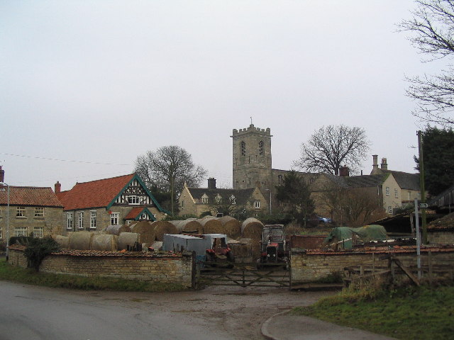
St John the Evangelist's Church, Corby Glen

The Church of St John the Evangelist is a Grade I listed Church of England parish church dedicated to John the Evangelist, in Corby Glen, Lincolnshire...

Charles Read Academy

Charles Read Academy is a co-educational secondary school located in Corby Glen, Lincolnshire, England. It serves the villages between Stamford, Bourne...
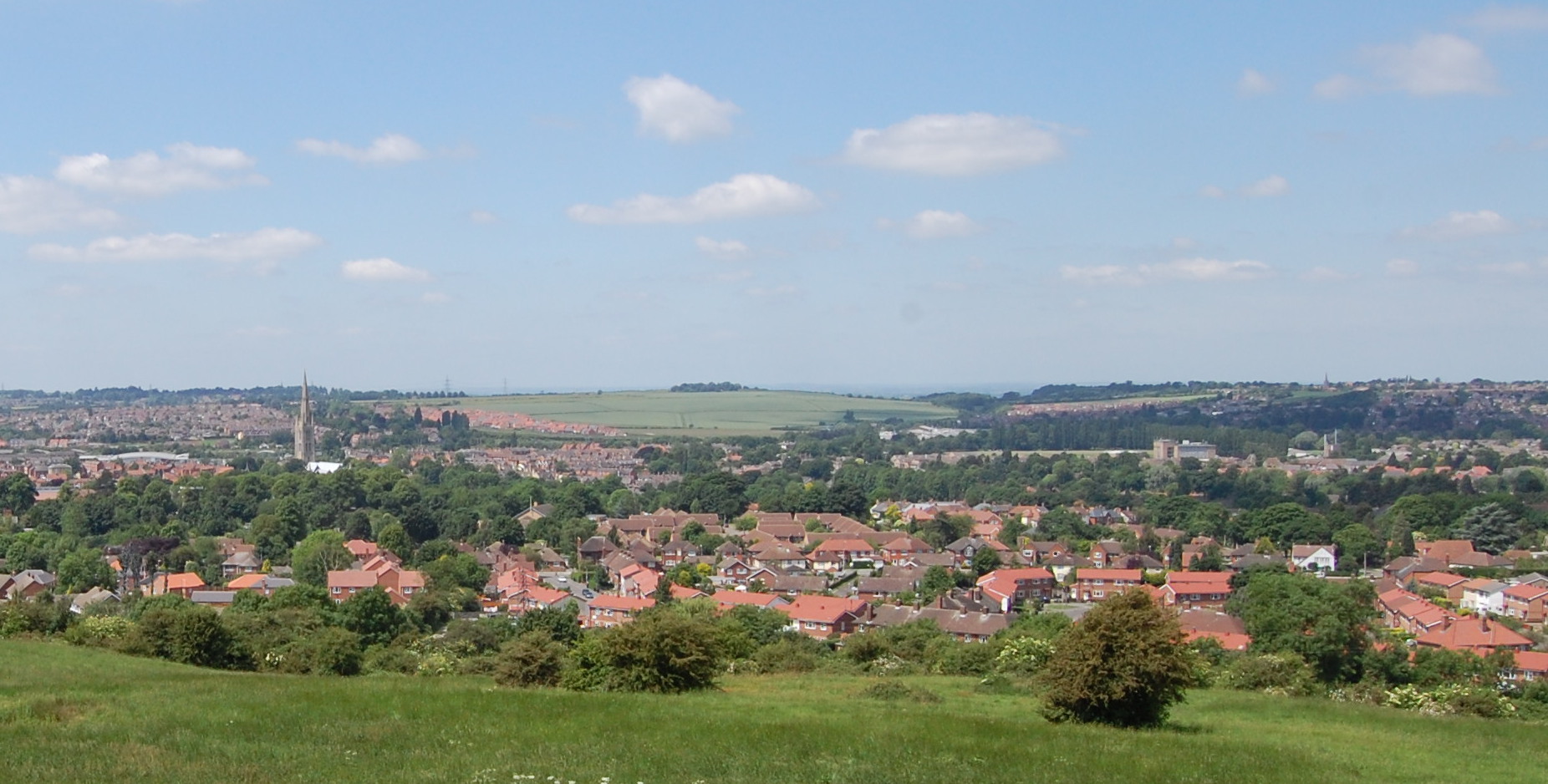
Corby Glen

Corby Glen is a village and civil parish in the South Kesteven district of Lincolnshire, England. It is approximately 9 miles (14 km) south-east of the...

Irnham

Irnham is a village and civil parish in South Kesteven, Lincolnshire, England. It is situated approximately 10 miles (16 km) south-east from Grantham...

South Kesteven

South Kesteven is a local government district in Lincolnshire, England, forming part of the traditional Kesteven division of the county. Its council is...

Grantham and Stamford (UK Parliament constituency)

Grantham and Stamford is a constituency in Lincolnshire represented in the House of Commons of the UK Parliament since 2019 by Gareth Davies, a Conservative...

Northampton Sand Formation

The Northampton Sand Formation, sometimes called the Northamptonshire Sand, is a Middle Jurassic geological formation which is placed within the Inferior...

Swinstead

Swinstead is a village and civil parish in the South Kesteven district of Lincolnshire, England. It is situated 5 miles (8.0 km) west from Bourne, 9 miles...

Nearby Amenities

Located within 500m of 52.815999,-0.49658773
Power: tower
Lat/Long: 52.8121685/-0.4956964
Power: tower
Lat/Long: 52.8134724/-0.4990646
Power: tower
Lat/Long: 52.8148954/-0.5027319
Cumberland Field
Place: locality
Source: Bing
Lat/Long: 52.8165219/-0.4976451
The data included in this document is from www.openstreetmap.org. The data is made available under ODbL.

Have you been to Cumberland Field?

Leave your review of Cumberland Field below (or comments, questions and feedback).